The best walks and hikes around Saint-Fort-Sur-Le-Né
4.5
(11)
49
hikers
11
hikes
Hiking around Saint-Fort-Sur-Le-Né offers a network of trails through the gentle French countryside. The region is characterized by rolling hills, agricultural lands, and occasional forested sections, providing a tranquil setting for outdoor activities. Elevation changes are generally modest, making many routes accessible for various fitness levels.
Best hiking trails around Saint-Fort-Sur-Le-Né
- The most popular hiking route is Saint-Fort-sur-le-Né – loop, a 6.3 miles (10.2 km) trail that takes 2 hours 39 minutes to complete, offering a circular path around…
Last updated: July 2, 2026
4.0
(3)
7
hikers
10.2km
02:39
60m
60m
Moderate hike. Good fitness required. Easily-accessible paths. Suitable for all skill levels.
4.0
(1)
3
hikers
10.1km
02:40
80m
80m
Moderate hike. Good fitness required. Easily-accessible paths. Suitable for all skill levels.

Sign up for free
4.0
(1)
2
hikers
10.4km
02:43
80m
80m
Moderate hike. Good fitness required. Easily-accessible paths. Suitable for all skill levels.
5.0
(3)
8
hikers
6.69km
01:46
60m
60m
Easy hike. Great for any fitness level. Easily-accessible paths. Suitable for all skill levels.
10
hikers
10.5km
02:41
40m
40m
Moderate hike. Good fitness required. Easily-accessible paths. Suitable for all skill levels.
Get access to more routes and recommendations from other explorers.
Sign up for free
Already have an account?
Our route recommendations are based on thousands of hikes, rides, and runs completed by other people on komoot.
Start today with a free account
Your next adventure awaits.
Login or Signup


Tips from the Community

These ancient windmills are the best evidence that people were clever enough to harness the power of the wind centuries ago - long before the discovery of electricity and the resulting inventions. So what is celebrated today as modern (so-called green or renewable) energy is essentially “old hat” in a new guise.
1
0

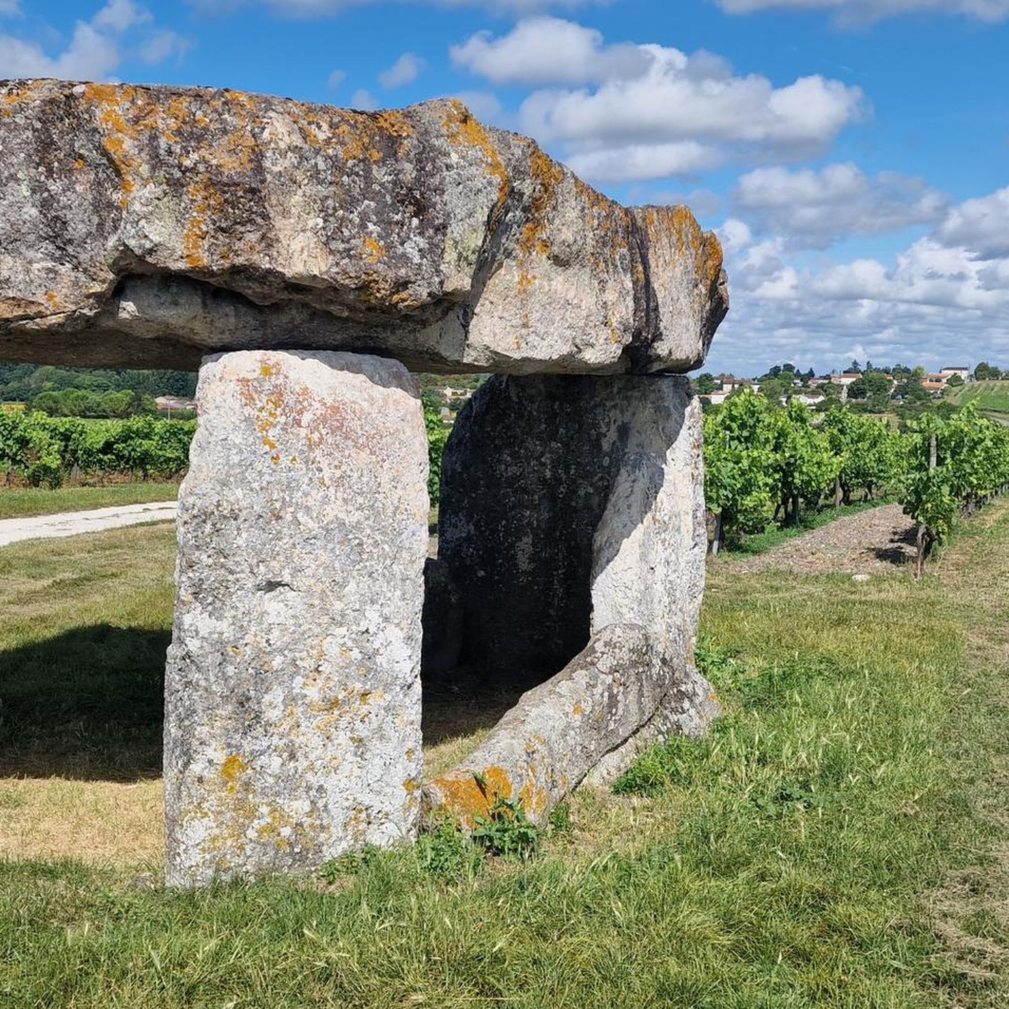
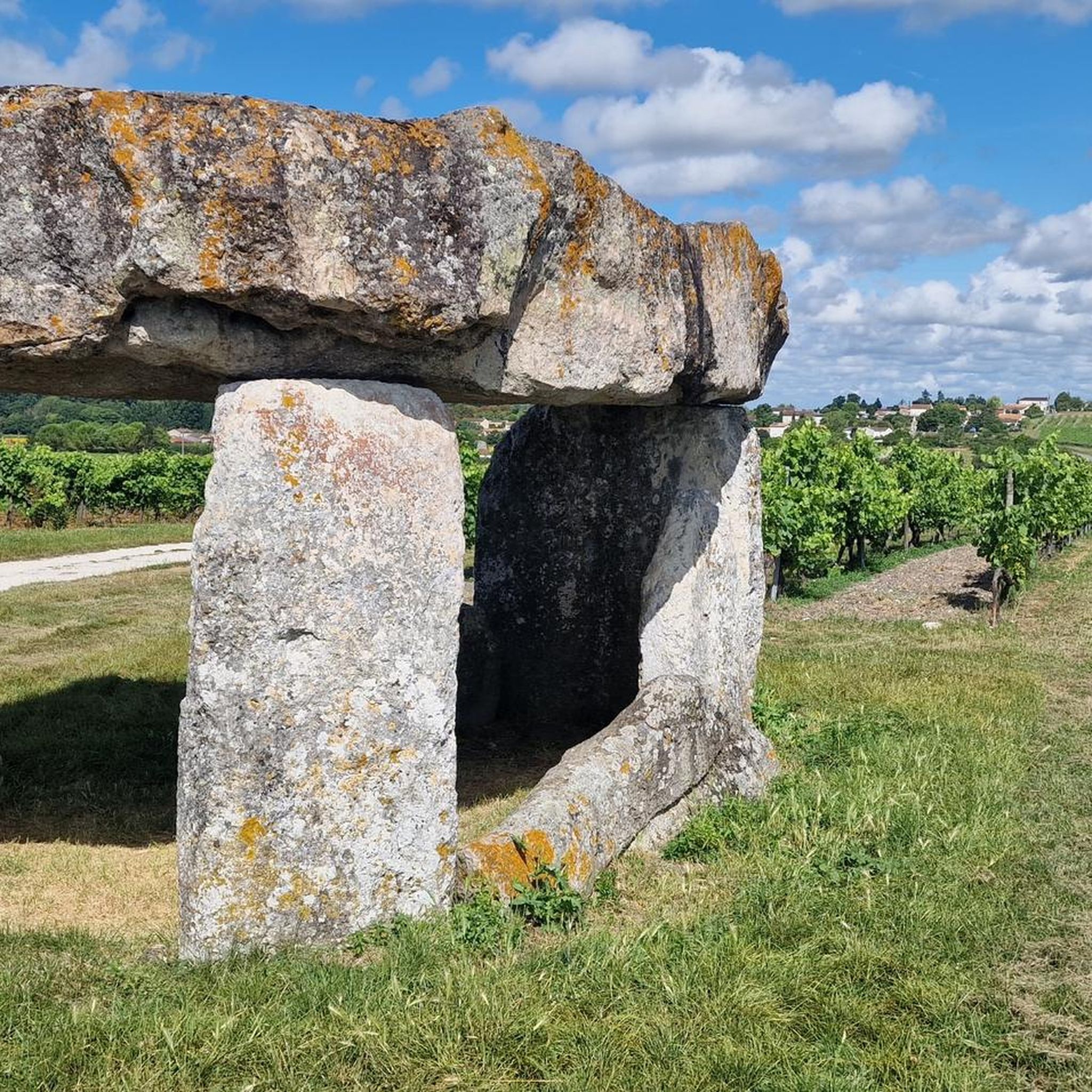
The hunebed stands on a ledge halfway up the hill. The tumulus which covered it has disappeared. This dolmen is of an imposing and unusual height in the region. The deck table rests alone on three perfectly square pillars 2.20 m high. Several orthostats show traces of wear or write-off attempts by stonemasons [ 2 ] . All orthostats are of shell limestone [ 3 ] . The table, in sandstone , measures 5.40 meters long and 4.40 meters wide for a maximum thickness of 0.90 m, it weighs about 40 tons. The room opens to the southeast, the presumed entrance corridor that originally existed has completely disappeared [ 2 ] . The plan of the burial chamber seems to have been dictated by the shape of the deck table, making it a totally atypical dolmen [ 4 ] . The dolmen has been emptied a long time ago as it has been listed as such since 1826
2
0

An old windmill with breathtaking panoramic views.
2
0
This dolmen has an unusual and imposing height of more than 2m high. The crowning table at the top would weigh 40 tons.
3
1
An old windmill in the middle of the vineyards. Without her sails, it's a lovely place to stop and admire her.
3
0
An old windmill with breathtaking panoramic views.
3
0

Here we find the ruins of the castle of Merpins. In the Middle Ages, it was an important medieval fortress, in what is now Merpins-Vieux-Bourg. A stopover is essential!
0
0

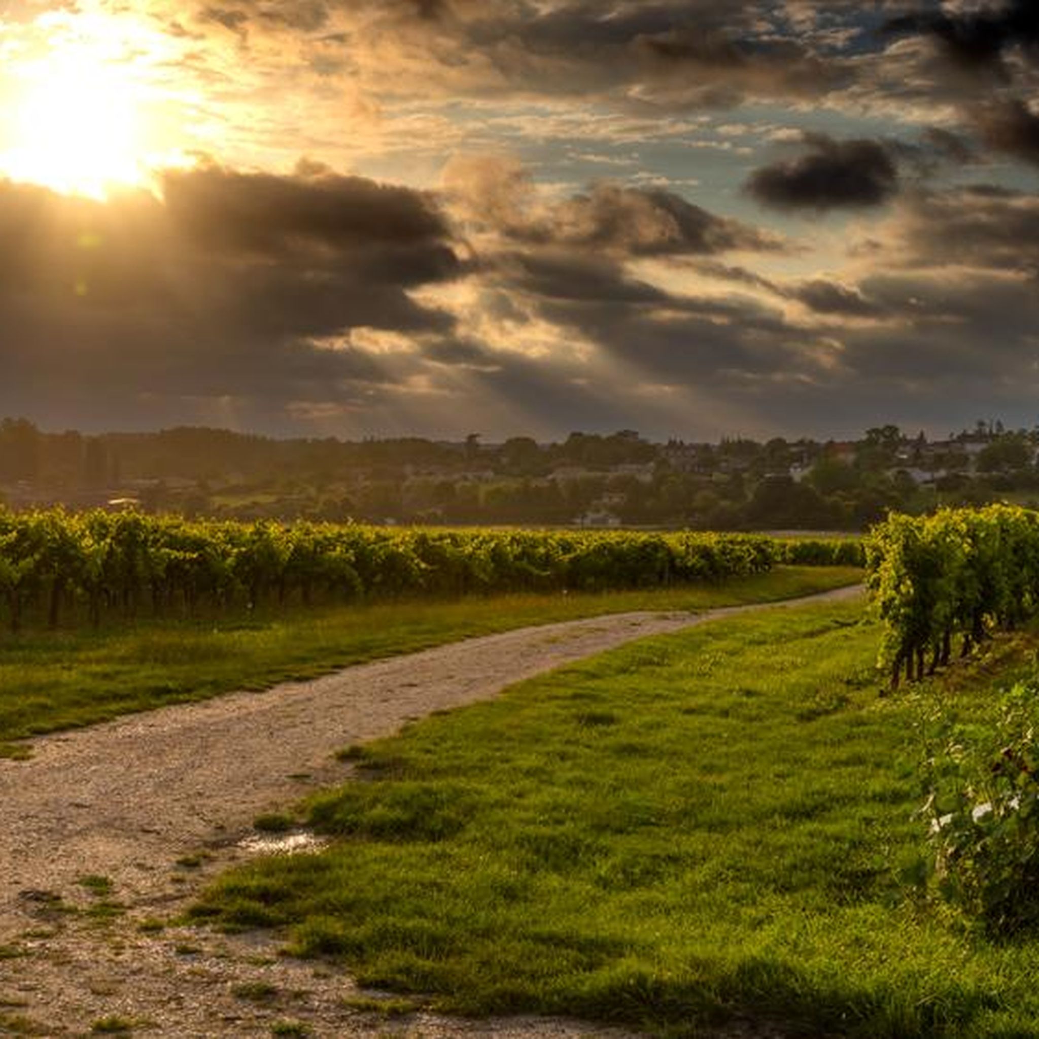
Nice rest stop in the middle of the cognac vineyards. This is the grande champagne (the best ground) with the best grapes. Nice to walk to or to ride to with gravel or all terrain bike.
1
0
Frequently Asked Questions
How many hiking trails are available around Saint-Fort-Sur-Le-Né?
There are 12 hiking routes documented on komoot around Saint-Fort-Sur-Le-Né. These trails offer a variety of experiences through the gentle French countryside.
Are there easy hiking routes suitable for beginners in Saint-Fort-Sur-Le-Né?
Yes, the region offers several easy hiking routes. For instance, the Forest Trail – Moulin de Cognac (Verrières) loop from Verrières is an easy 6.7 km (4.2 miles) path that takes approximately 1 hour 45 minutes to complete, perfect for a relaxed walk.
What are the typical durations for hikes in this area?
Hikes around Saint-Fort-Sur-Le-Né generally range from 1 hour 45 minutes to over 2 hours 40 minutes. Many popular routes, such as the Saint-Fort-sur-le-Né – loop, take about 2 hours 39 minutes to complete their 10.2 km (6.3 miles) distance.
Are there family-friendly walks suitable for children?
The gentle terrain and modest elevation changes make many routes around Saint-Fort-Sur-Le-Né suitable for families. Easy trails like the Forest Trail – Moulin de Cognac (Verrières) loop from Verrières are a good choice for walks with kids, offering a pleasant experience through forested sections.
Can I bring my dog on the hiking trails?
Most trails in the rural areas around Saint-Fort-Sur-Le-Né are generally dog-friendly, especially those traversing open fields and quiet country lanes. It's always advisable to keep dogs on a leash, particularly near agricultural lands or livestock, and to respect local regulations.
Are there circular walking routes available?
Yes, many of the hiking routes in Saint-Fort-Sur-Le-Né are circular. Examples include the popular Sainte-Lheurine – loop and the Ambleville – loop, both offering convenient starting and ending points in the same location.
What kind of scenery can I expect on the hikes?
The region is characterized by tranquil, gentle French countryside. You can expect to see rolling hills, vast agricultural lands, and occasional peaceful forested sections. The routes offer a blend of open landscapes and shaded paths, providing a varied and pleasant hiking experience.
What interesting landmarks or attractions can I see near the trails?
While hiking, you can explore several local points of interest. Notable attractions include the historic Dolmen of Saint-Fort, the charming Saint-Martin Church of Chadenac, and the scenic Moulin d'Arthus and its panoramic view. These add cultural and historical depth to your outdoor adventure.
What is the best season for hiking around Saint-Fort-Sur-Le-Né?
The spring and autumn months are generally ideal for hiking in Saint-Fort-Sur-Le-Né, offering pleasant temperatures and beautiful natural colors. Summer can also be enjoyable, especially in the mornings or late afternoons, though some trails might be more exposed to the sun. Winter hiking is possible, but conditions can be cooler and paths potentially muddier.
What do other hikers say about the trails in Saint-Fort-Sur-Le-Né?
The trails in Saint-Fort-Sur-Le-Né are highly regarded by the komoot community, holding an average rating of 4.5 out of 5 stars from around 10 reviews. Hikers often praise the peaceful atmosphere, the well-maintained paths, and the charming rural scenery that defines the region.
Are there any trails with significant elevation changes?
The region is known for its gentle terrain, so significant elevation changes are not typical. Most routes feature modest ascents and descents, making them accessible for various fitness levels. For example, the Merpins Castle loop from Gimeux has an elevation gain of only about 40 meters (131 feet).
Most popular routes around Saint-Fort-Sur-Le-Né
Most popular attractions around Saint-Fort-Sur-Le-Né

Get inspired with the komoot mobile app


Explore more
Browse the best Hikes in other regions.
