The best walks and hikes around Clarensac
4.4
(361)
2,112
hikers
175
hikes
Hiking around Clarensac offers a diverse landscape characterized by rolling hills, natural springs, and historical sites. The region features a mix of open fields, dense woodlands, and paths leading to ancient structures. Elevations are generally moderate, with several routes providing varied ascents and descents. This area provides a range of hiking experiences suitable for different preferences.
Best hiking trails around Clarensac
- The most popular hiking route is Oppidum of Nages – Chemin des Aires loop from Saint-Dionisy, a 3.8…
Last updated: May 12, 2026
4.8
(11)
71
hikers
6.17km
01:47
160m
160m
Easy hike. Great for any fitness level. Easily-accessible paths. Suitable for all skill levels.
5.0
(2)
26
hikers
4.87km
01:21
90m
90m
Easy hike. Great for any fitness level. Easily-accessible paths. Suitable for all skill levels.

Sign up for free
16
hikers
7.69km
02:11
170m
170m
Moderate hike. Good fitness required. Easily-accessible paths. Suitable for all skill levels.
4.4
(5)
15
hikers
8.21km
02:22
200m
200m
Moderate hike. Good fitness required. Easily-accessible paths. Suitable for all skill levels.
13
hikers
14.4km
03:55
200m
200m
Moderate hike. Good fitness required. Easily-accessible paths. Suitable for all skill levels.
Get access to more routes and recommendations from other explorers.
Sign up for free
Already have an account?
Our route recommendations are based on thousands of hikes, rides, and runs completed by other people on komoot.
Start today with a free account
Your next adventure awaits.
Login or Signup

Tips from the Community

worth the trip but tricky descent
0
0

super town! he deserves to be on a mountain bike!
0
0

Beautiful stone site, remnant of a building which in Roman times housed the Ranquet spring which provided water to the inhabitants of the oppidum of Roque de Viou. It supplied two tanks measuring 24m x 4.6m, which are now partially destroyed. Located at the junction of rue de la Fontaine Romaine and rue de l'Agau de Nages, the place, decorated with a small stone bench, is charming.
1
0
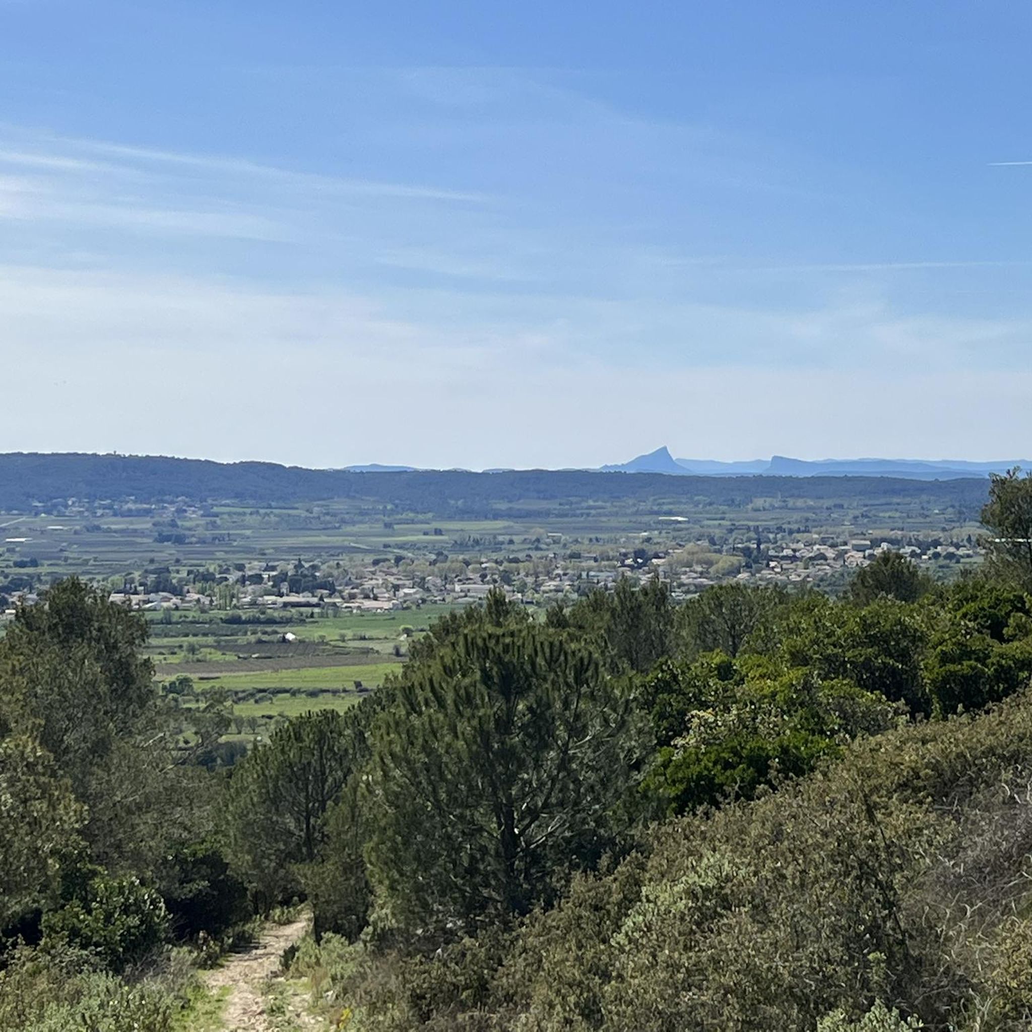
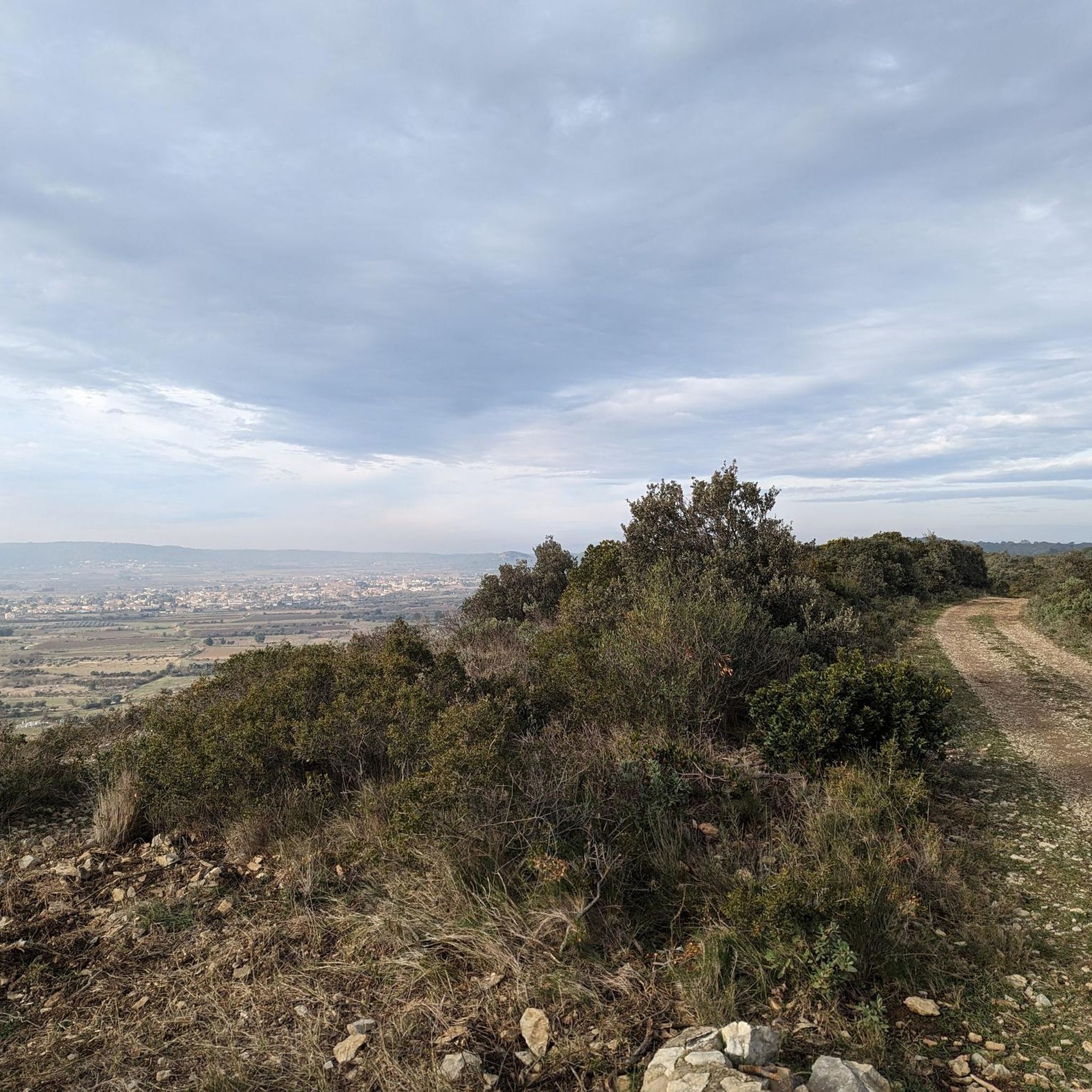
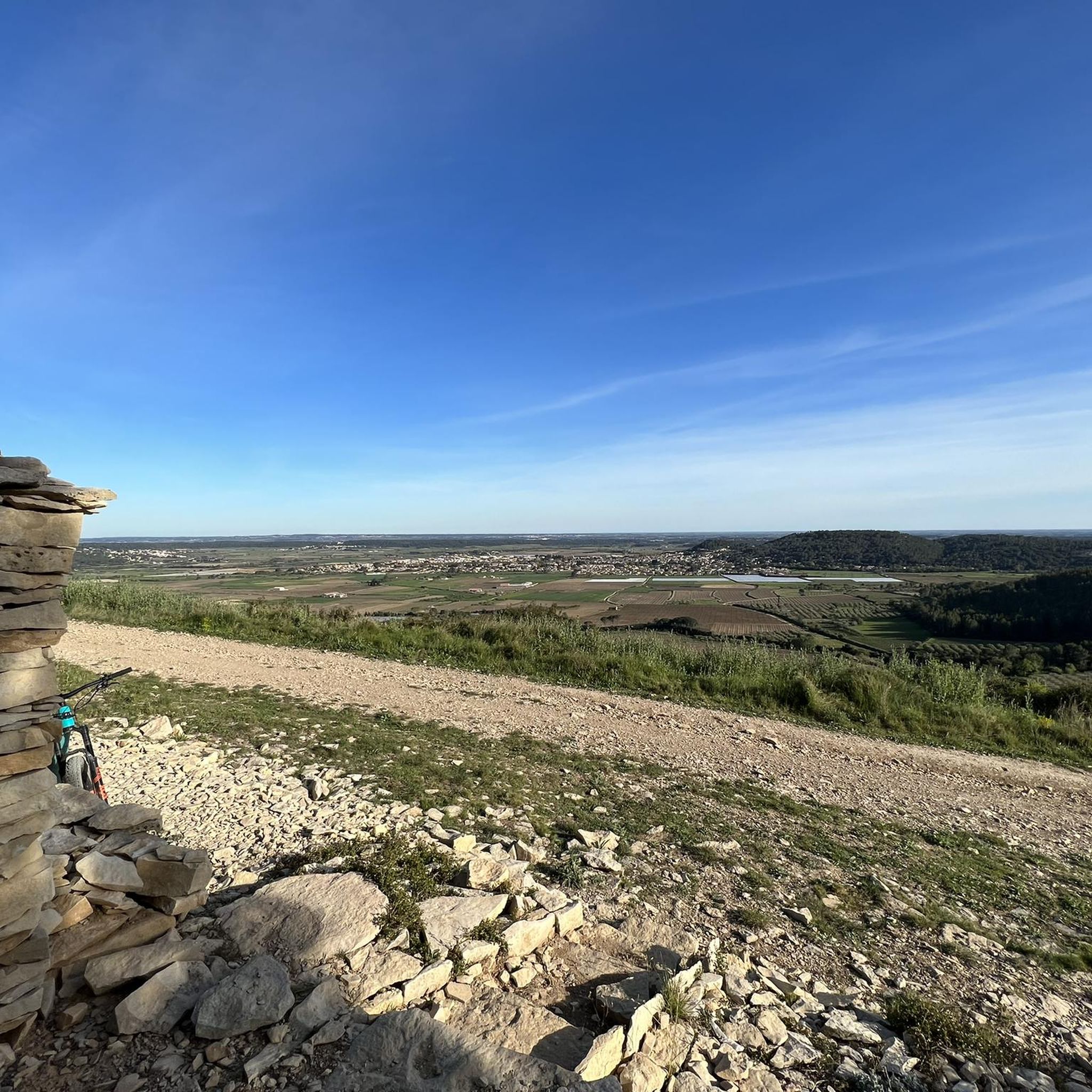
The view is truly magnificent over the entire Vaunage plain and much further: from Pic St Loup in the West to Mt Ventoux in the East, embracing the foothills of the Cévennes and Mont Bouquet. A pleasure always renewed depending on the time and the season!
1
0

Lots of stones in the segment leading to the Roman oppidum and very steep.
0
0

The oppidum of Nages, sometimes called Oppidum des Castels, is an old oppidum perched at an altitude of 160m on a hill overlooking the plain, about fifteen kilometers from Nîmes.
3
0

An old tower with a clock that has a particularity...look closely at the numbers ;-)
3
0
Ruined chapel - a nice place for a break overlooking the Vaunage
3
0
Frequently Asked Questions
How many hiking trails are available around Clarensac?
There are over 160 hiking routes in the Clarensac area, offering a wide range of options for different skill levels and preferences. You'll find everything from easy strolls to more challenging moderate hikes.
Are there easy hiking trails suitable for beginners or families in Clarensac?
Yes, Clarensac offers many easy trails perfect for beginners or families. Over 70 routes are classified as easy. A great option is the Clock Tower loop from Saint-Côme-et-Maruéjols, which is 3.0 miles (4.9 km) and offers pleasant views.
What kind of terrain can I expect on hikes around Clarensac?
The terrain around Clarensac is characterized by rolling hills, natural springs, and a mix of open fields and dense woodlands. Many paths also lead to historical sites, providing varied landscapes and points of interest.
Are there any circular hiking routes in Clarensac?
Yes, many of the trails around Clarensac are circular, allowing you to start and end at the same point. An example is the Oppidum of Nages – Chemin des Aires loop from Saint-Dionisy, an easy 3.8-mile (6.2 km) route featuring historical points.
What historical sites or landmarks can I see while hiking near Clarensac?
The region is rich in history. You can explore sites like the Ancient Roman Quarry or the Roman Fountain of Ranquet. Further afield, Nîmes offers impressive Roman structures such as the Maison Carrée and the Nîmes Amphitheatre.
Are there any viewpoints or scenic spots along the trails?
Yes, several routes offer scenic viewpoints. For instance, the Roc de Gachone – 4 Windmills provides panoramic views, and the Ochres of Fougeras offers unique natural scenery.
What do other hikers say about the trails in Clarensac?
The hiking trails in Clarensac are highly regarded by the komoot community, with an average rating of 4.4 out of 5 stars from over 300 reviews. Hikers often praise the diverse landscapes, well-maintained paths, and the blend of natural beauty with historical interest.
Are there any longer or more challenging hikes for experienced hikers?
While most trails are easy to moderate, there are options for longer hikes. The Undergrowth trail – Source Font Bonnet loop from Clarensac is a moderate 8.9-mile (14.4 km) route that takes nearly 4 hours to complete, offering a more extended experience.
Can I find trails that lead through wooded areas?
Yes, many trails in Clarensac pass through dense woodlands. The Source Font Bonnet – Chapelle Saint Roman Ruins loop from Clarensac is a moderate 4.8-mile (7.7 km) trail that leads through wooded paths and historical ruins, providing a shaded and scenic walk.
What is the best time of year to go hiking in Clarensac?
Clarensac offers pleasant hiking conditions for much of the year. Spring and autumn are particularly popular due to milder temperatures and vibrant natural colors. Even in winter, many trails remain accessible, though conditions can vary.
Are there any trails that explore ancient Roman history?
Absolutely. The region is rich in Roman heritage. Consider the Oppidum of Nages – Oppidium Romain loop from Saint-Dionisy, a moderate 5.1-mile (8.2 km) trail that takes you past significant Roman historical sites.
Most popular routes around Clarensac
Most popular attractions around Clarensac

Get inspired with the komoot mobile app


Explore more
Browse the best Hikes in other regions.
