The best walks and hikes around Chambornay-Lès-Pin
4.5
(93)
726
hikers
103
hikes
Hiking around Chambornay-Lès-Pin offers a network of trails through varied landscapes. The region is characterized by its gentle elevation changes, often featuring paths around local ponds and through agricultural areas. Hikers can expect routes that traverse open fields, small woodlands, and connect to nearby villages. The terrain is generally accessible, providing options for different skill levels.
Best hiking trails around Chambornay-Lès-Pin
- The most popular hiking route is Aurêtre Pond loop from Geneuille, a 5.9 miles (9.6 km) trail that…
Last updated: July 6, 2026
4.0
(2)
25
hikers
9.57km
02:30
70m
70m
Moderate hike. Good fitness required. Easily-accessible paths. Suitable for all skill levels.
5.0
(3)
13
hikers
5.76km
01:33
70m
70m
Easy hike. Great for any fitness level. Easily-accessible paths. Suitable for all skill levels.

Sign up for free
4.0
(3)
14
hikers
8.38km
02:12
70m
70m
Moderate hike. Good fitness required. Easily-accessible paths. Suitable for all skill levels.
6
hikers
11.5km
03:01
90m
90m
Moderate hike. Good fitness required. Easily-accessible paths. Suitable for all skill levels.
4.0
(2)
4
hikers
11.6km
03:00
70m
70m
Moderate hike. Good fitness required. Easily-accessible paths. Suitable for all skill levels.
Get access to more routes and recommendations from other explorers.
Sign up for free
Already have an account?
Our route recommendations are based on thousands of hikes, rides, and runs completed by other people on komoot.
Start today with a free account
Your next adventure awaits.
Login or Signup
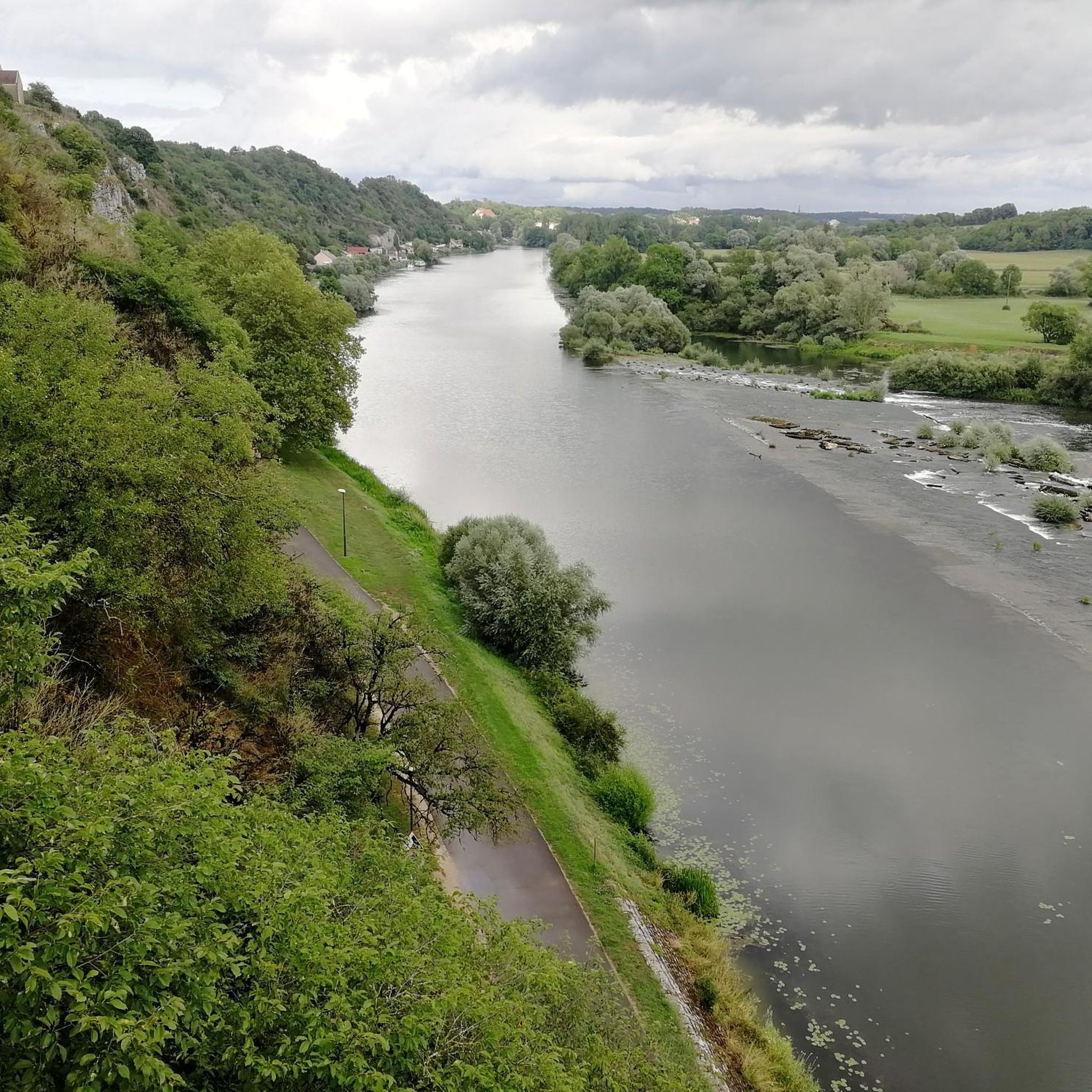

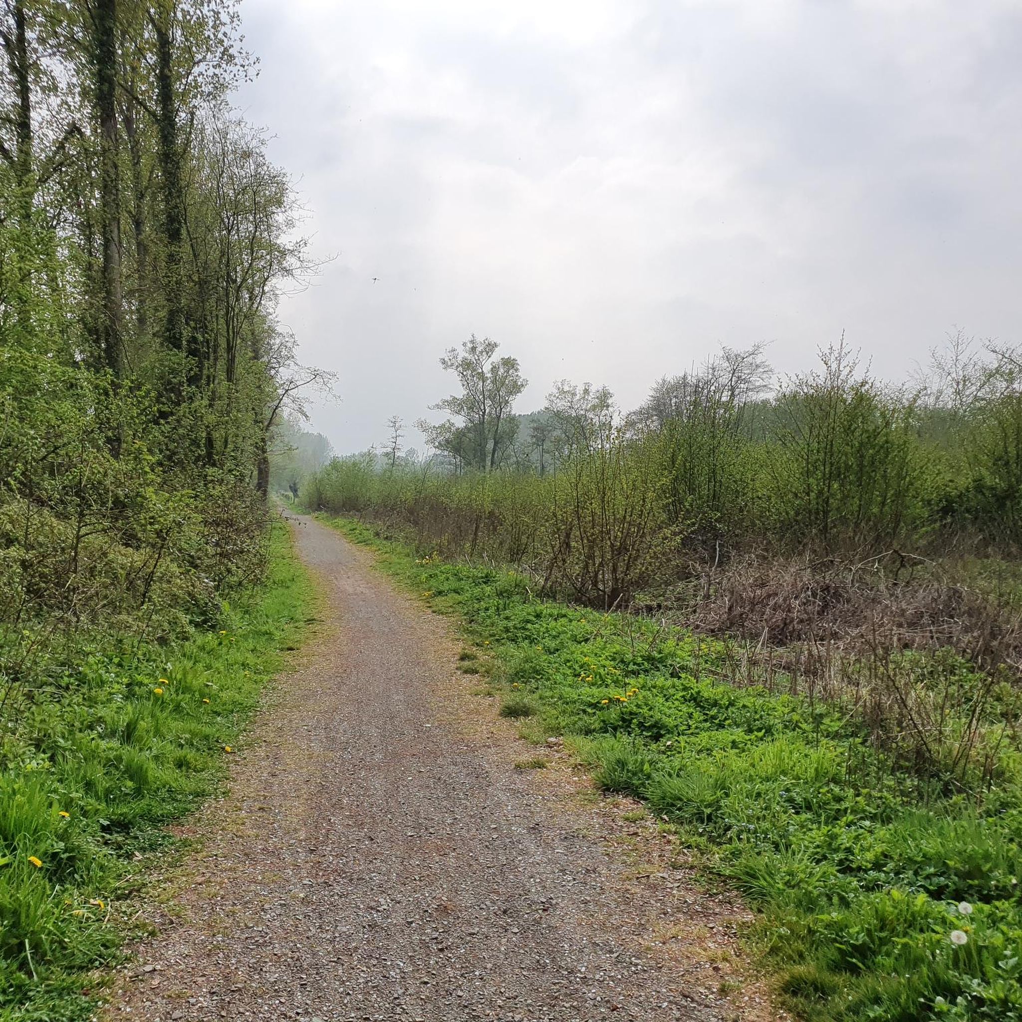
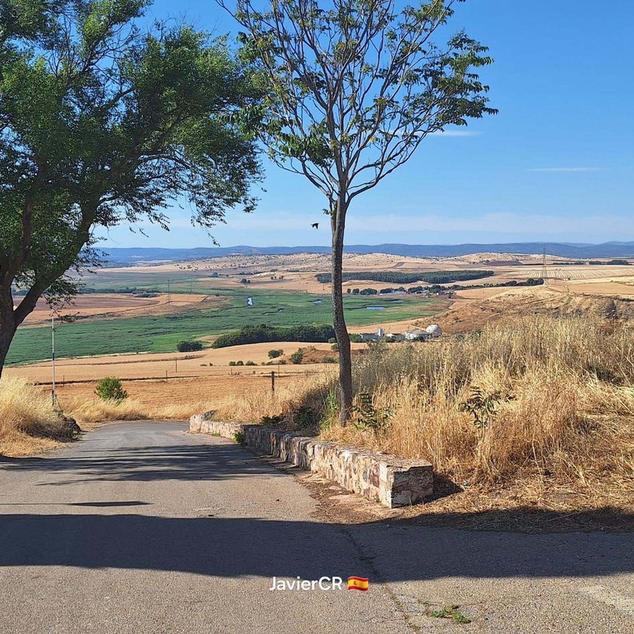

Tips from the Community

Water hole in a deep oak forest.
0
0

The Aurêtre pond is located north of Besançon in the commune of Geneuille. It presents a pretty bucolic setting when nature is in bloom.
0
0
It is a pond built on an old gravel pit that has become a protected natural area, a peaceful fishing spot, a family picnic spot, a safe children's playground. Finally everything to have a good time. Please note that dogs must be kept on a leash.
0
0

Magnificent corner where nature takes over these rights little by little.
0
0
Frequently Asked Questions
How many hiking trails are available around Chambornay-Lès-Pin?
There are over 100 hiking routes in the Chambornay-Lès-Pin area. These include a mix of easy and moderate trails, offering diverse options for different skill levels.
Are there easy hiking trails suitable for beginners or families?
Yes, the region offers many easy trails. For instance, the Coin relaxant loop from Boulot is an easy 3.6-mile (5.7 km) path perfect for a relaxed walk through the countryside. There are 41 easy tours available, making it suitable for families and beginners.
What is the typical length and duration of hikes in this region?
Hikes around Chambornay-Lès-Pin vary in length, but many popular routes are between 3.5 to 7 miles (5-11 km), typically taking 1.5 to 3 hours to complete. For example, the Aurêtre Pond loop from Geneuille is 5.9 miles (9.6 km) and takes about 2 hours 30 minutes.
Are there any circular walks in Chambornay-Lès-Pin?
Yes, many of the trails in the area are circular, allowing you to start and end at the same point. Popular options include the Aurêtre Pond loop from Cussey-sur-l'Ognon and the Aurêtre Pond – Geneuille Gravel Pit loop from Geneuille.
What kind of terrain can I expect on the trails?
The terrain around Chambornay-Lès-Pin is generally accessible with gentle elevation changes. You can expect paths that traverse open fields, small woodlands, and often feature routes around local ponds and through agricultural areas.
What do other hikers enjoy the most about hiking in Chambornay-Lès-Pin?
The area is highly rated by the komoot community, with an average score of 4.6 stars from over 80 reviews. Hikers often praise the tranquil pond-side paths, the peaceful agricultural landscapes, and the well-maintained trails that offer a pleasant outdoor experience.
Are there any interesting landmarks or places to explore along the hiking routes?
While hiking, you can discover local points of interest. Nearby attractions include Le Vieux Tilleul, the historic large washhouse-trough, and the charming Fountain and Washhouses in Etuz. The Château de Vregille loop from Chambornay-lès-Pin offers views of the local château.
Is Chambornay-Lès-Pin suitable for winter hiking?
The region's gentle terrain makes it generally accessible year-round. However, during winter, paths can be muddy or icy, especially in shaded woodland areas. Always check local weather conditions and trail reports before heading out, and wear appropriate footwear.
What should I bring for a hike in Chambornay-Lès-Pin?
For hikes in this region, it's advisable to bring comfortable walking shoes, water, and snacks. Depending on the weather, layers of clothing, sun protection, and a rain jacket are also recommended. A map or GPS device is useful for navigation, though many trails are well-marked.
Where can I park when hiking in Chambornay-Lès-Pin?
While specific parking spots aren't detailed for every trail, most trailheads in rural areas like Chambornay-Lès-Pin often have small designated parking areas or roadside parking available near villages such as Geneuille, Boulot, or Cussey-sur-l'Ognon, which serve as starting points for many routes.
Are there any routes that pass by scenic viewpoints?
The trails often offer pleasant views across agricultural fields and open landscapes. While there aren't dramatic mountain vistas, the gentle hills and open spaces provide serene scenic viewpoints, particularly around the ponds and along the edges of the small woodlands.
Most popular routes around Chambornay-Lès-Pin
Most popular attractions around Chambornay-Lès-Pin

Get inspired with the komoot mobile app


Explore more
Browse the best Hikes in other regions.
