The best walks and hikes around Saint-Dionisy
4.5
(330)
1,682
hikers
173
hikes
Hiking around Saint-Dionisy offers routes through a landscape characterized by rolling hills and historic sites. The terrain includes paths leading to ancient oppida and through local agricultural areas. Elevation gains are generally moderate, making the region accessible for various hiking abilities. The area provides a network of trails connecting villages and points of interest.
Best hiking trails around Saint-Dionisy
- The most popular hiking route is Oppidum de Nages Loop from Langlade, a 5.2 miles (8.4 km) trail that takes…
Last updated: May 12, 2026
4.6
(27)
144
hikers
8.45km
02:22
170m
170m
Moderate hike. Good fitness required. Easily-accessible paths. Suitable for all skill levels.
4.8
(11)
86
hikers
7.27km
01:59
110m
110m
Easy hike. Great for any fitness level. Easily-accessible paths. Suitable for all skill levels.

Sign up for free
4.8
(11)
71
hikers
6.17km
01:47
160m
160m
Easy hike. Great for any fitness level. Easily-accessible paths. Suitable for all skill levels.
5.0
(2)
19
hikers
13.2km
03:37
200m
200m
Moderate hike. Good fitness required. Easily-accessible paths. Suitable for all skill levels.
5.0
(3)
7
hikers
7.27km
01:57
80m
80m
Easy hike. Great for any fitness level. Easily-accessible paths. Suitable for all skill levels.
Get access to more routes and recommendations from other explorers.
Sign up for free
Already have an account?
Our route recommendations are based on thousands of hikes, rides, and runs completed by other people on komoot.
Start today with a free account
Your next adventure awaits.
Login or Signup

Tips from the Community

worth the trip but tricky descent
0
0

Unfortunately, there are a lot of tarmacked passages but a lovely walk nonetheless.
1
0

super town! he deserves to be on a mountain bike!
0
0


Nice little station abandoned in 1987. The cycle path was built on the site of the line in the early 2000s. Since then, the old station has been transformed into a library.
1
0

Beautiful stone site, remnant of a building which in Roman times housed the Ranquet spring which provided water to the inhabitants of the oppidum of Roque de Viou. It supplied two tanks measuring 24m x 4.6m, which are now partially destroyed. Located at the junction of rue de la Fontaine Romaine and rue de l'Agau de Nages, the place, decorated with a small stone bench, is charming.
1
0
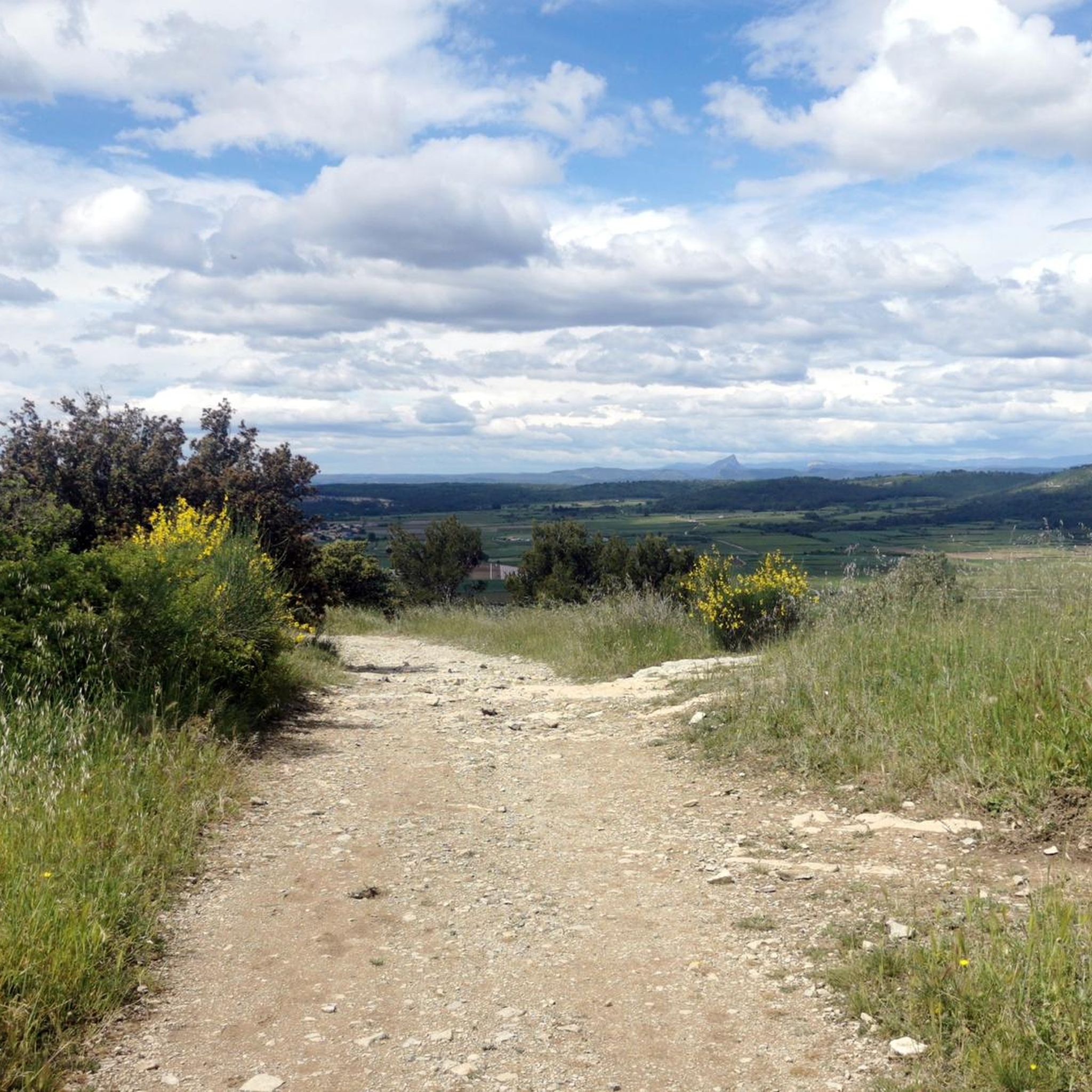
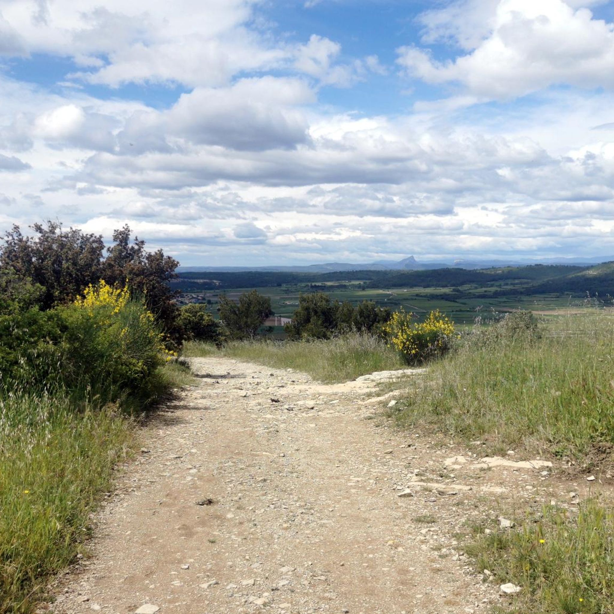
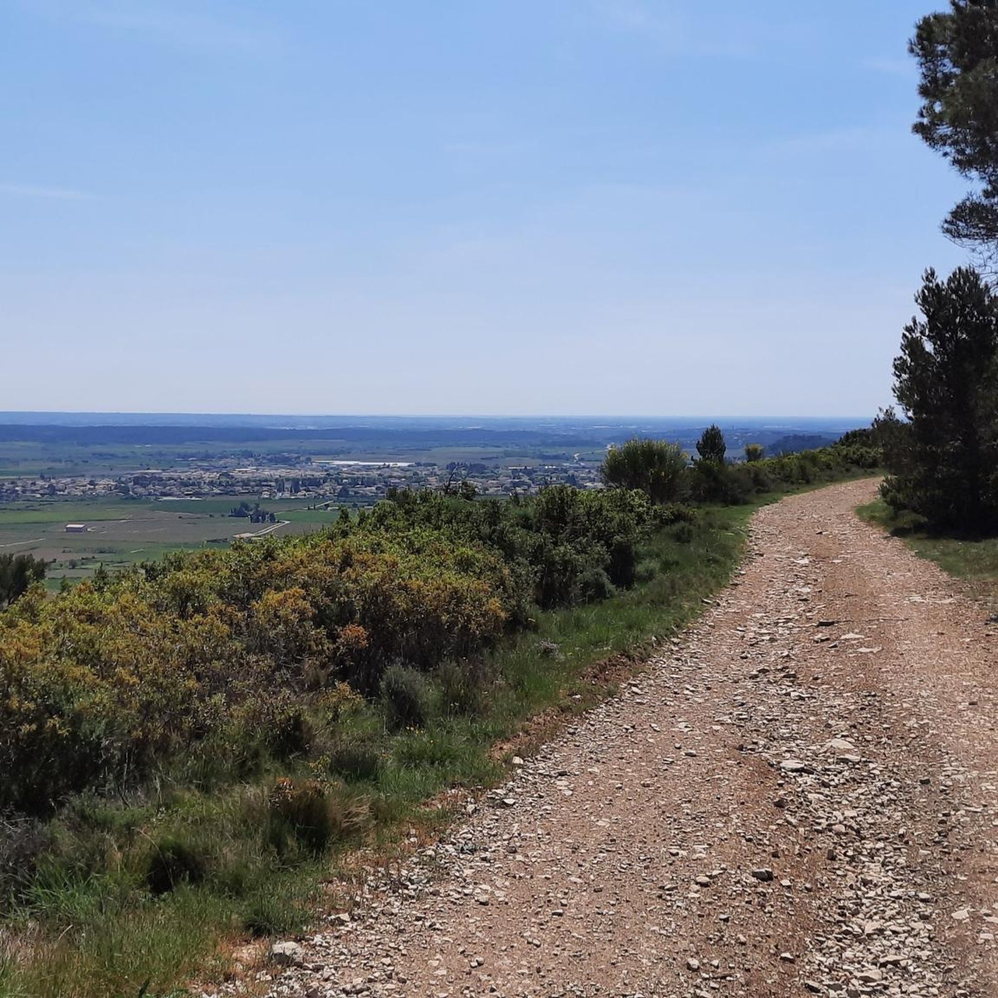
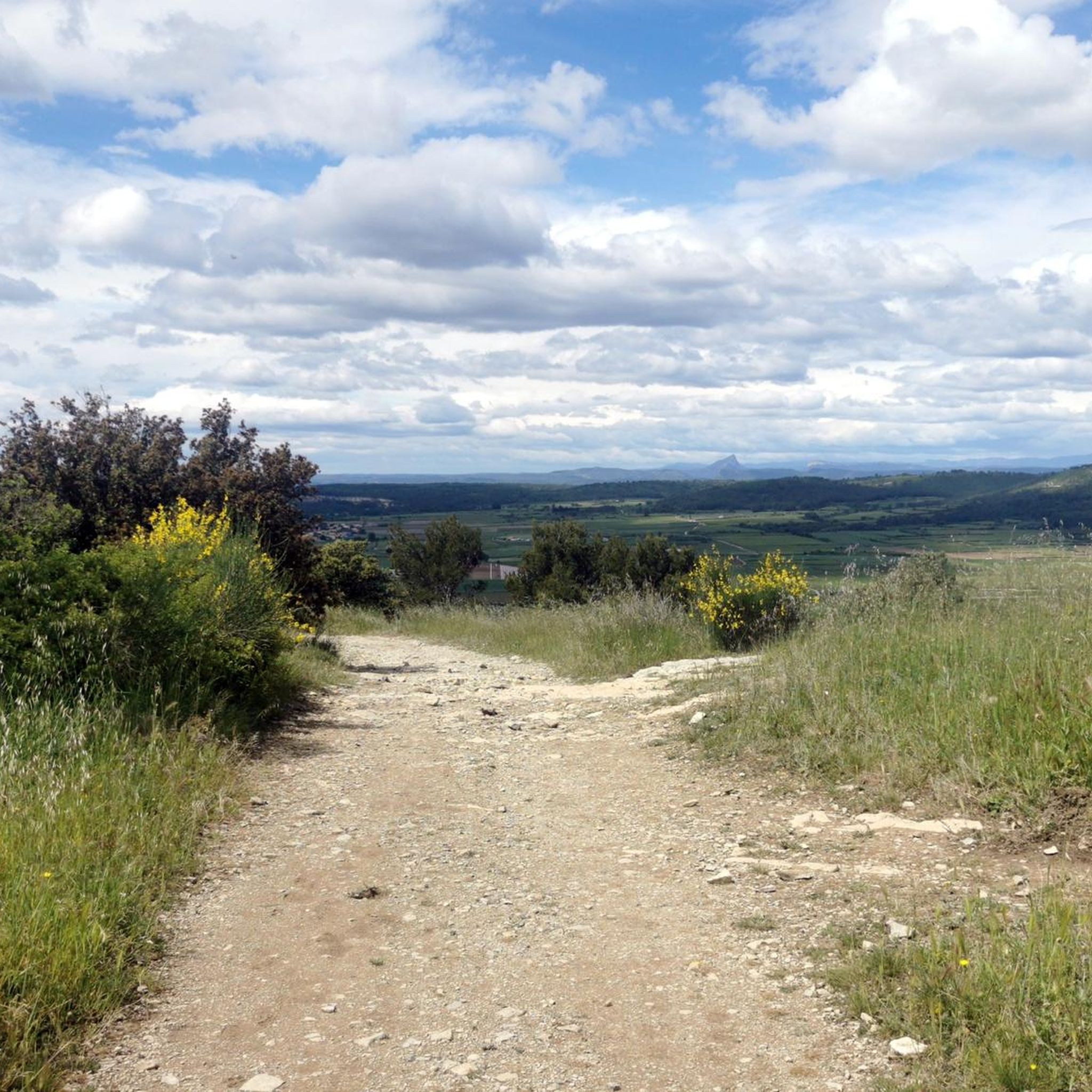
The view is truly magnificent over the entire Vaunage plain and much further: from Pic St Loup in the West to Mt Ventoux in the East, embracing the foothills of the Cévennes and Mont Bouquet. A pleasure always renewed depending on the time and the season!
1
0

Many beautiful views of the Vaunages plain
0
0
Frequently Asked Questions
How many hiking trails are available around Saint-Dionisy?
There are over 170 hiking routes around Saint-Dionisy, catering to various skill levels. This includes approximately 80 easy trails, 90 moderate routes, and a few more challenging options for experienced hikers.
What kind of terrain can I expect on hikes in Saint-Dionisy?
Hiking around Saint-Dionisy features a landscape of rolling hills and historic sites. Trails often lead through local agricultural areas and to ancient oppida, offering a mix of natural paths and cultural exploration. The elevation gains are generally moderate.
Are there any easy, family-friendly hikes in Saint-Dionisy?
Yes, Saint-Dionisy offers many easy trails suitable for families. An excellent option is the Oppidum of Nages – Chemin des Aires loop from Saint-Dionisy, an easy 3.8-mile (6.2 km) path that takes about 1 hour 47 minutes to complete and explores the historic Oppidum of Nages.
Are there any circular walks available in the area?
Many of the trails around Saint-Dionisy are circular, allowing you to start and end at the same point. For example, the Oppidum de Nages Loop from Langlade is a moderate 5.2-mile (8.4 km) circular route that explores the ancient Oppidum de Nages.
What do other hikers say about the trails in Saint-Dionisy?
The hiking routes in Saint-Dionisy are highly rated by the komoot community, with an average score of 4.4 stars from over 300 reviews. Hikers often praise the well-maintained paths, the historical points of interest like the oppida, and the scenic views of the surrounding countryside.
Are there any challenging trails for experienced hikers?
While most trails are easy to moderate, there are a few more challenging options for those seeking a greater adventure. These routes typically feature longer distances or steeper ascents, providing a good workout amidst the region's varied terrain.
What historical sites or landmarks can I see while hiking?
The region is rich in history. You can explore the ancient Oppidum of Nages, an important archaeological site. Other notable landmarks include the Corbières Mill and the intriguing Carrières de Junas, which offer unique insights into the area's past.
Are there any short hikes suitable for a quick outing?
Yes, for a shorter outing, consider the Oppidum of Nages – Chemin des Aires loop from Saint-Dionisy. This easy 3.8-mile (6.2 km) trail can be completed in under two hours, making it perfect for a brief, refreshing walk.
What are some longer, moderate hikes in the area?
For a longer moderate hike, the Langlade Windmill – Chemin des Aires loop from Langlade is a great choice. This 8.2-mile (13.2 km) route takes approximately 3 hours 37 minutes and offers diverse scenery including the Langlade Windmill.
Is there public transport available to reach the trailheads?
Public transport options to specific trailheads in Saint-Dionisy can be limited, as is common in many rural French villages. It is advisable to check local bus schedules for connections to nearby towns or consider driving, as many routes are accessible by car.
Where can I park when hiking in Saint-Dionisy?
Parking is generally available in or near the villages where many trails begin, such as Saint-Dionisy, Nages-et-Solorgues, or Langlade. Look for designated village parking areas or roadside spots where permitted. Always ensure you park responsibly and do not obstruct local access.
Are there any hikes that offer particularly good views?
Many trails in Saint-Dionisy offer scenic views, especially those that ascend to higher points or pass through open agricultural land. The routes around the Oppidum of Nages often provide panoramic vistas of the surrounding rolling hills and the Gard countryside.
Most popular routes around Saint-Dionisy
Most popular attractions around Saint-Dionisy

Get inspired with the komoot mobile app


Explore more
Browse the best Hikes in other regions.
