The best running trails around Langrolay-Sur-Rance
4.4
(216)
12,219
runners
362
runs
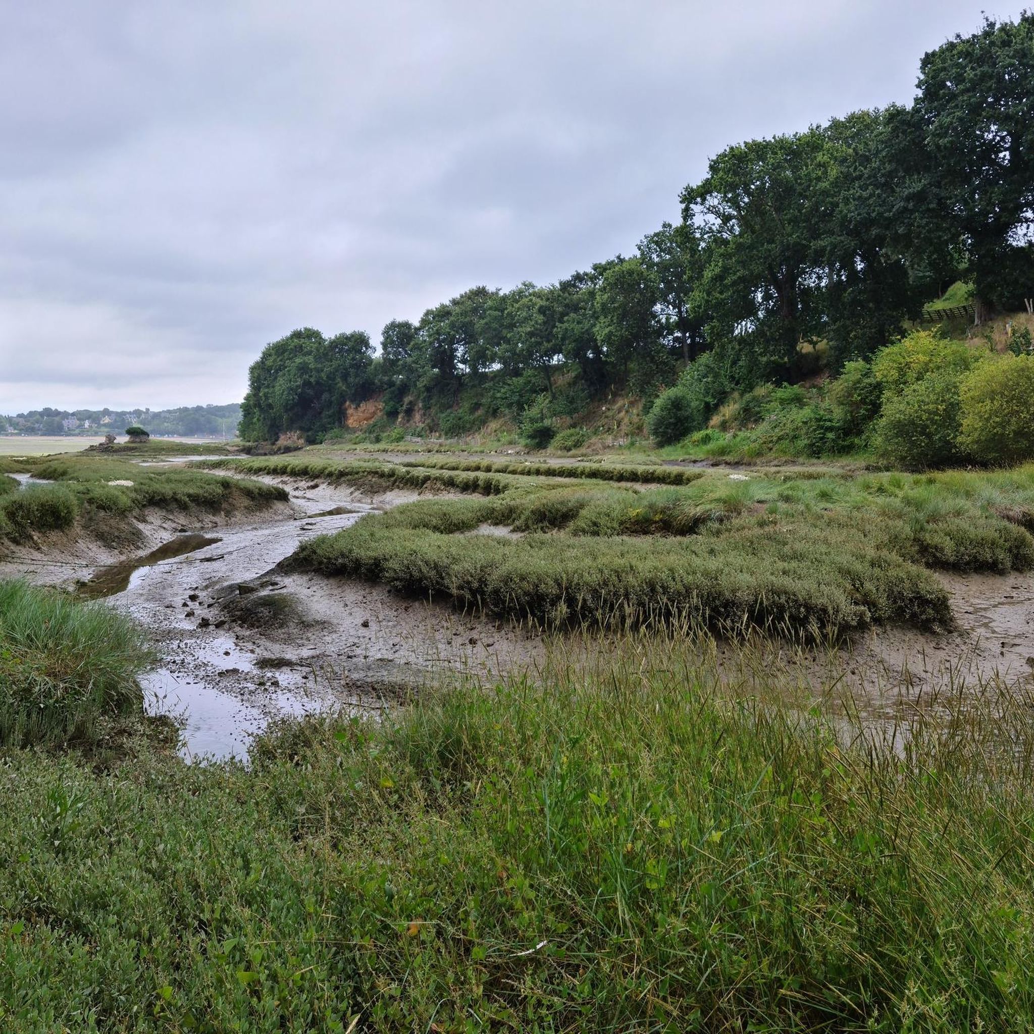
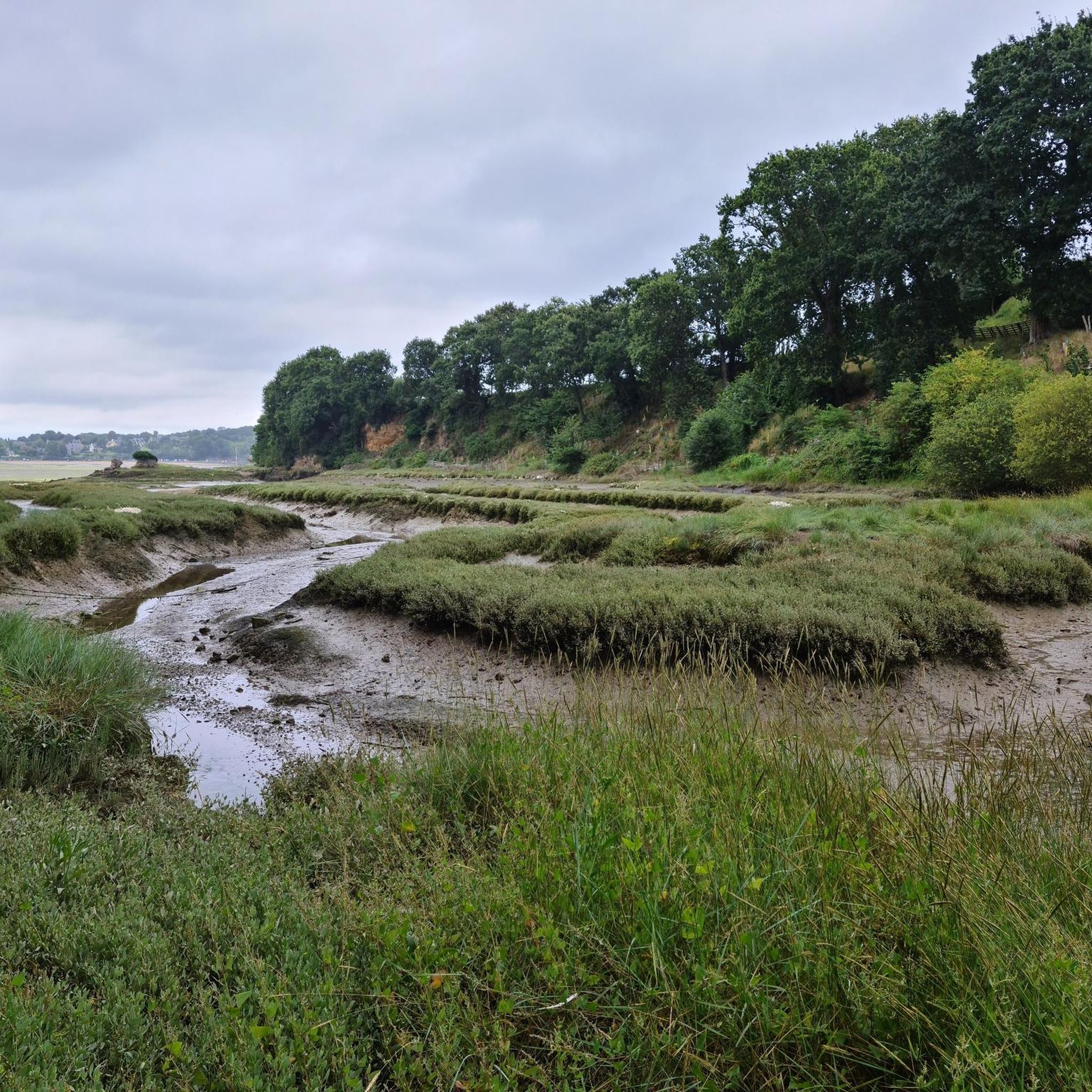
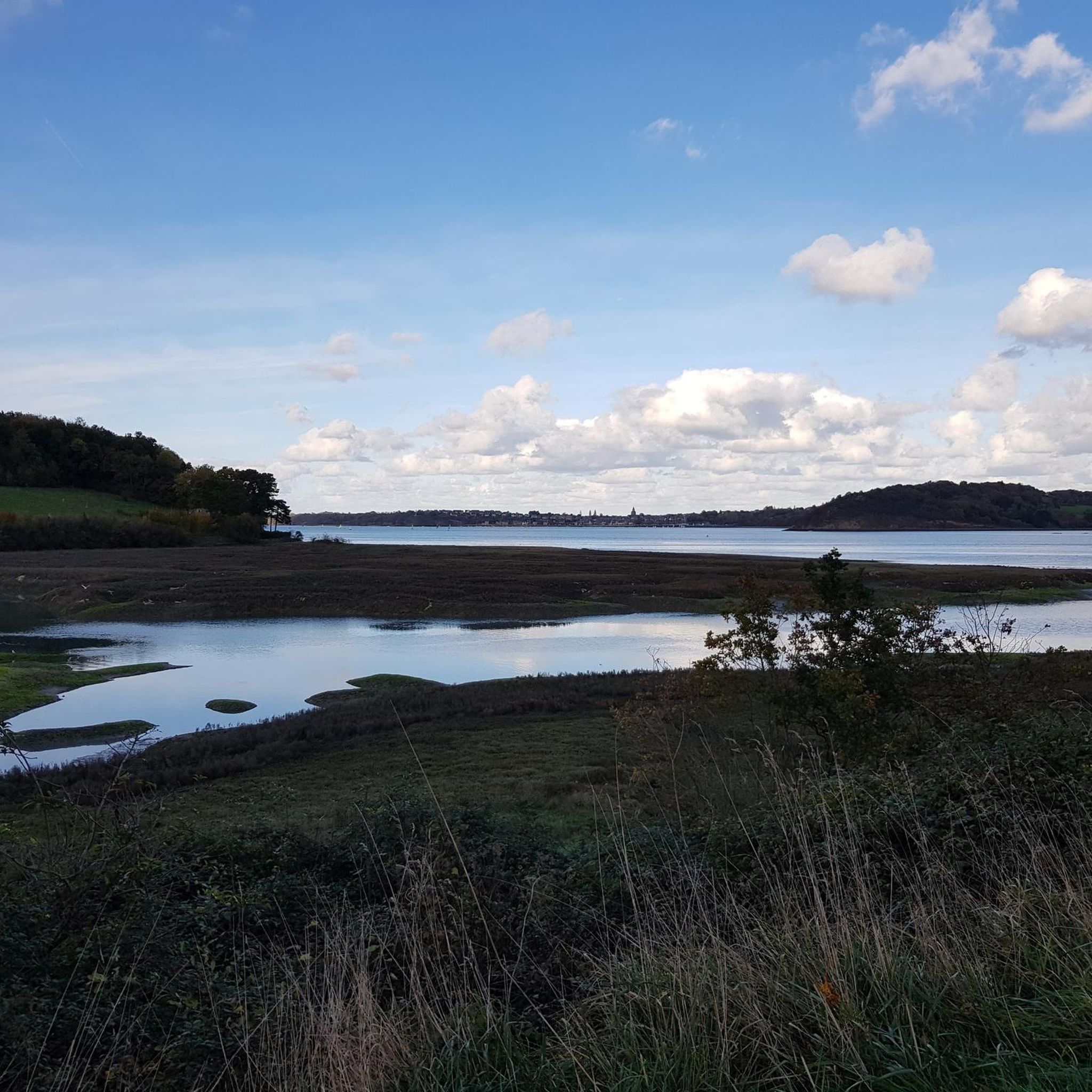
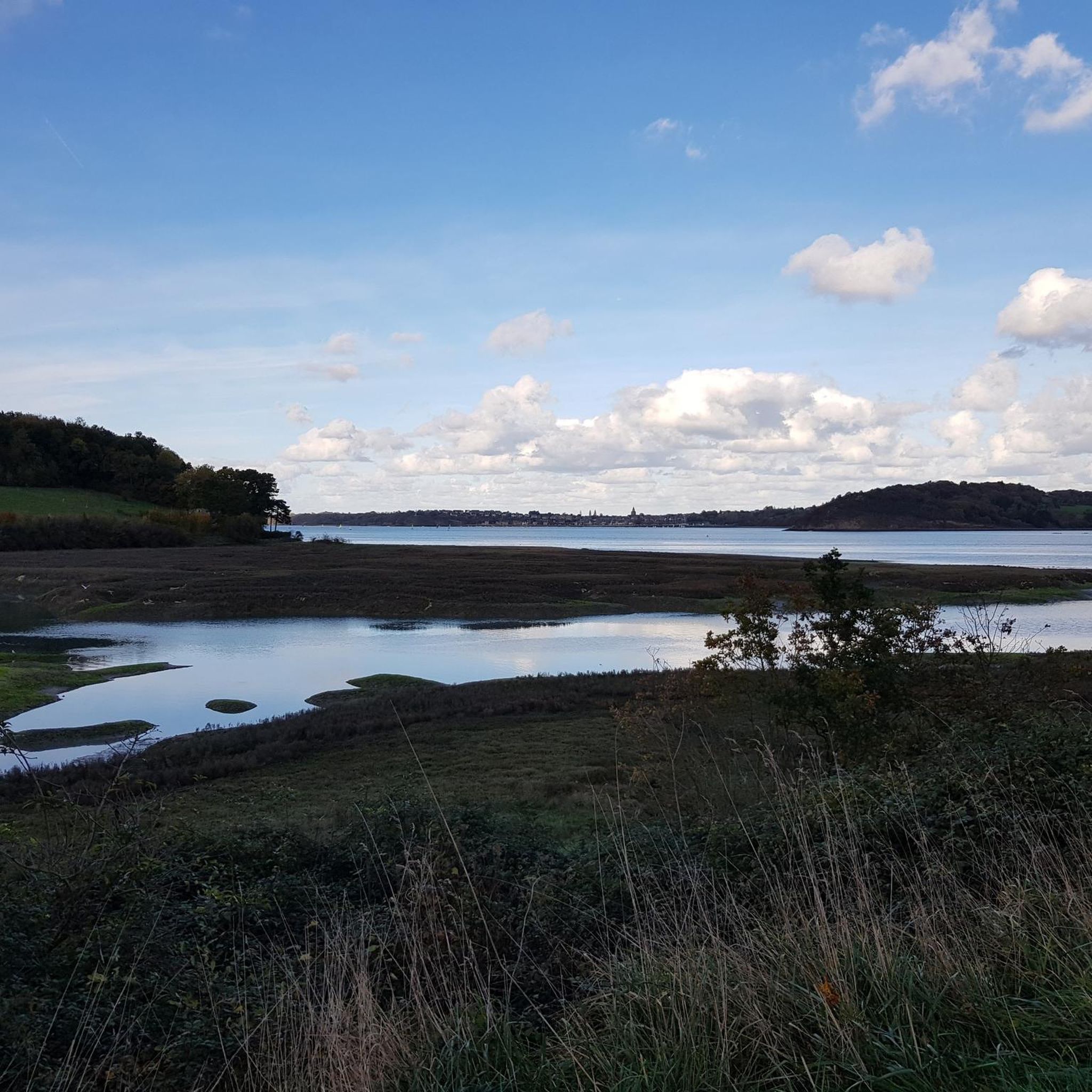
Jogging routes around Langrolay-Sur-Rance offer diverse landscapes, from picturesque waterside paths along the Rance Estuary to inland trails through forests and countryside. The region features a mix of very low locations near sea level and low-lying hills, providing varied terrain for different running preferences. The famous GR 34 coastal path also provides extensive scenic routes, winding through coves and cliffs.
Best jogging routes around Langrolay-Sur-Rance
- The most popular jogging route is Chemin de Minihic – Around Minihic loop from Langrolay-sur-Rance…
Last updated: May 18, 2026
107
runners
16.8km
01:58
180m
180m
Hard run. Very good fitness required. Mostly paved surfaces. Suitable for all skill levels.
55
runners
6.18km
00:44
70m
70m
Moderate run. Good fitness required. Mostly paved surfaces. Suitable for all skill levels.

Sign up for free
27
runners
67.7km
07:43
730m
730m
Hard run. Very good fitness required. Mostly paved surfaces. Suitable for all skill levels.
19
runners
7.25km
00:50
90m
90m
Moderate run. Good fitness required. Mostly paved surfaces. Suitable for all skill levels.
10
runners
11.3km
01:17
90m
90m
Moderate run. Good fitness required. Mostly paved surfaces. Suitable for all skill levels.
Get access to more routes and recommendations from other explorers.
Sign up for free
Already have an account?
Our route recommendations are based on thousands of hikes, rides, and runs completed by other people on komoot.
Start today with a free account
Your next adventure awaits.
Login or Signup

Tips from the Community

The viaduct spans the valley spectacularly, and it's particularly beautiful from the harbor.
0
0

Magnificent road viaduct which crosses the Rance river above the port of Dinan.
0
0


Dinan, its port and its upper town, a quick bike ride
0
0

Be careful with the tides, some passages are really on the water's edge
0
0

This grandiose granite monument which honors Mr. Fessard, engineer, has a length of 250 meters including the abutments *; its height is 40 meters above the towpath and 50 meters including the foundations. It is made up of 10 arches with an opening of 16 meters, separated by straight legs 4 meters thick; the width of the cart lane is 5 meters; it is lined with sidewalks 1 meter wide. It was completed in 1852.
0
0
Facing the Solidor tower, one of the historic districts of Saint-Malo.
0
0

Good starting point for a run to Saint-Malo. In Saint-Servan it may be a little easier to find a parking space and then you can walk around the cité d'Alette past the harbor.
0
0
Frequently Asked Questions
How many running routes are available around Langrolay-Sur-Rance?
There are over 330 running routes around Langrolay-Sur-Rance, catering to various fitness levels. You'll find a good mix of easy, moderate, and difficult trails to explore.
Are there any easy jogging routes suitable for beginners or families?
Yes, Langrolay-Sur-Rance offers a selection of easy running routes. For example, the Chemin de Minihic loop from Le Minihic-sur-Rance is a moderate 6 km path that provides a pleasant experience without significant elevation changes, ideal for a relaxed run or a family outing.
What kind of terrain can I expect on the running trails in this region?
The region around Langrolay-Sur-Rance boasts incredibly varied terrain. You can expect picturesque waterside paths along the Rance Estuary, sections of the famous GR 34 coastal path winding through coves and cliffs, as well as inland trails leading through forests, countryside, and small valleys. This mix offers everything from flat, easy paths to more challenging routes with low-lying hills.
Are there any circular running routes in Langrolay-Sur-Rance?
Many of the running routes in Langrolay-Sur-Rance are circular, allowing you to start and finish at the same point. This is convenient for parking and exploring the diverse landscapes. The guide features several loop trails that take you through coastal areas, forests, and charming villages.
What are the best times of year for running in Langrolay-Sur-Rance?
Langrolay-Sur-Rance is enjoyable for running throughout much of the year. Spring and autumn offer pleasant temperatures and beautiful scenery, with fewer crowds. Summer is also popular, especially for coastal runs, but can be warmer. Winter runs can be invigorating, particularly along the Rance Estuary, though some paths might be muddy after rain.
What do other runners enjoy most about jogging in Langrolay-Sur-Rance?
The running routes in Langrolay-Sur-Rance are highly rated by the komoot community, with an average score of 4.4 stars from over 250 reviews. Runners often praise the stunning views of the Rance Estuary, the variety of coastal and inland trails, and the well-maintained paths that offer a mix of natural beauty and historical interest.
Are there any long-distance running options for experienced athletes?
Yes, for those seeking a greater challenge, there are longer and more difficult routes available. The Port Solidor – Solidor Tower loop from Pleslin is a demanding 66.1 km trail with significant elevation changes, offering an extensive journey through the region's diverse landscapes.
Can I find trails with panoramic viewpoints in the area?
Absolutely. The region is known for its scenic viewpoints. Mont Garrot, a natural promontory above the Rance estuary, offers expansive panoramic views overlooking Saint-Suliac and the Anse de Vigneux. Pointe de Cancaval also provides beautiful vistas of the right bank, including sights of Saint-Servan and Saint-Malo, making for rewarding running experiences.
What interesting landmarks or attractions can I see near the running routes?
While running, you can discover several interesting landmarks. The area features ancient tidal mills, adding a touch of history to some routes. Nearby, you can explore the charming village of Saint-Suliac, or visit historical sites like Dinan Old Town and Saint-Malo Castle, which are easily accessible from Langrolay-Sur-Rance.
Are there any dog-friendly running trails in Langrolay-Sur-Rance?
Many of the natural trails and coastal paths around Langrolay-Sur-Rance are suitable for running with dogs, provided they are kept under control. The GR 34 coastal path, for instance, is generally accessible. However, it's always advisable to check local signage for any specific restrictions, especially in nature reserves or protected areas, and to ensure your dog is well-behaved around other users and wildlife.
Is public transport available to access the running trails?
While Langrolay-Sur-Rance itself is a smaller commune, its proximity to larger towns like Dinard, Dinan, and Saint-Malo means that public transport options (buses) can get you to the general area. However, direct access to specific trailheads might require a short walk or a local taxi. Planning your route in advance and checking local bus schedules is recommended.
Are there facilities like cafes or restaurants near the running routes?
Langrolay-Sur-Rance and its surrounding villages offer a selection of cafes and restaurants where you can refuel after your run. While not every trailhead will have immediate facilities, many routes pass through or near charming villages like Saint-Suliac, where you can find places to eat and drink. It's a good idea to carry water and snacks, especially on longer runs.
Most popular routes around Langrolay-Sur-Rance
Most popular attractions around Langrolay-Sur-Rance

Get inspired with the komoot mobile app


Explore more
Browse the best Running Trails & Routes in other regions.
