The best walks and hikes around Aimargues
4.4
(453)
2,634
hikers
149
hikes
Hiking around Aimargues offers a network of trails primarily characterized by low elevation changes, often following river paths and historical routes. The landscape features open fields, agricultural areas, and occasional wooded sections, providing accessible walks for various skill levels. The region's terrain is generally flat, making it suitable for leisurely exploration.
Best hiking trails around Aimargues
- The most popular hiking route is Pont Ambroix – Ambroix Bridge loop from Via Domitia, a 2.8 miles (4.5 km) trail that takes…
Last updated: May 28, 2026
3.0
(1)
15
hikers
3.85km
01:01
30m
30m
Easy hike. Great for any fitness level. Easily-accessible paths. Suitable for all skill levels.
5.0
(2)
13
hikers
10.8km
02:44
20m
20m
Moderate hike. Good fitness required. Easily-accessible paths. Suitable for all skill levels.

Sign up for free
4.0
(2)
7
hikers
10.6km
02:43
30m
30m
Moderate hike. Good fitness required. Easily-accessible paths. Suitable for all skill levels.
4.5
(2)
3
hikers
14.1km
03:37
60m
60m
Moderate hike. Good fitness required. Easily-accessible paths. Suitable for all skill levels.
3.0
(1)
9
hikers
22.6km
05:43
40m
40m
Hard hike. Very good fitness required. Easily-accessible paths. Suitable for all skill levels.
Get access to more routes and recommendations from other explorers.
Sign up for free
Already have an account?
Our route recommendations are based on thousands of hikes, rides, and runs completed by other people on komoot.
Start today with a free account
Your next adventure awaits.
Login or Signup

Tips from the Community

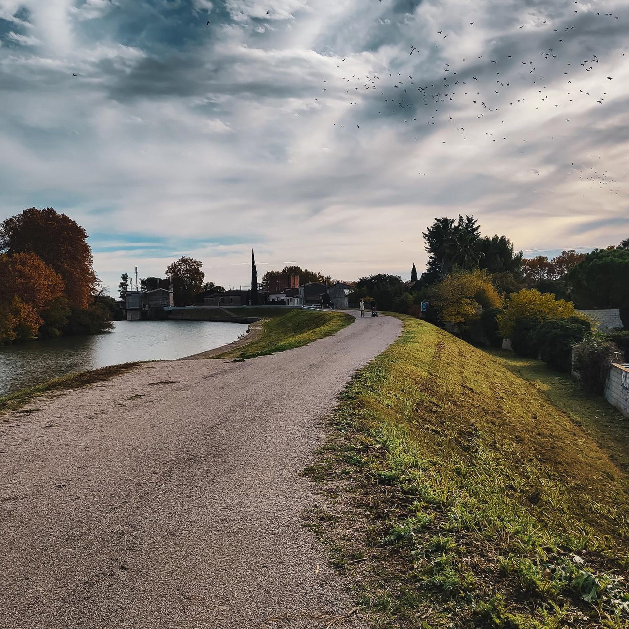
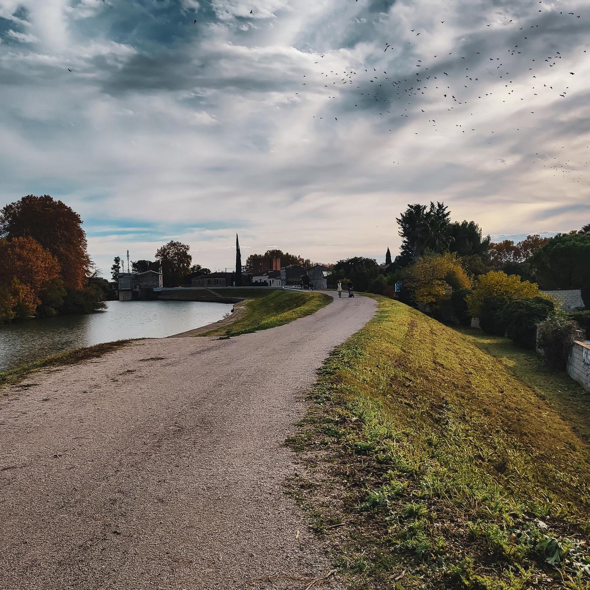
The crossing must actually be done with wet feet.
1
0

I love this place. We enter a cathedral of plane trees.
0
0

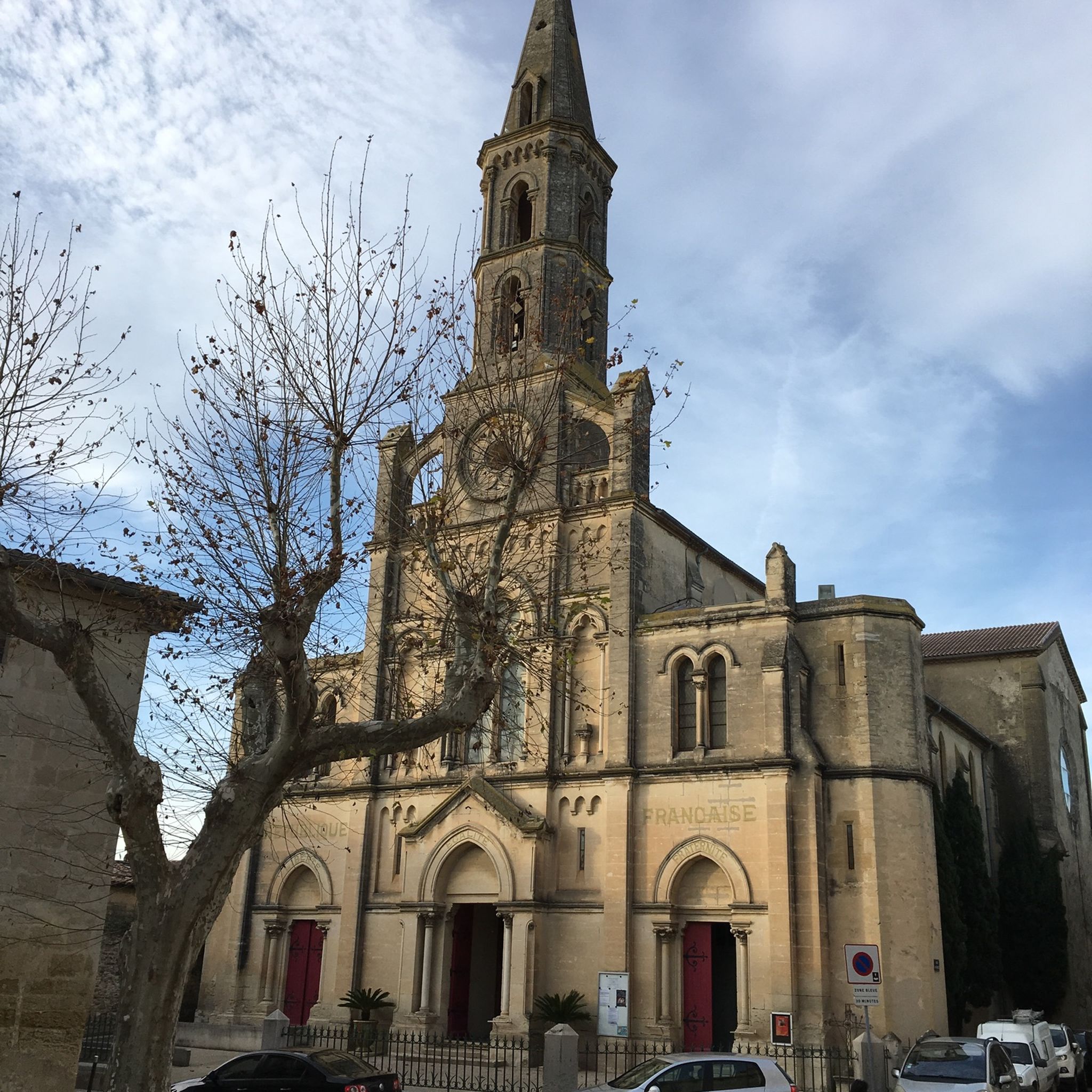
The Notre-Dame church was completely rebuilt on medieval foundations in the 17th century after suffering severe damage during the Wars of Religion. Its imposing Baroque façade, associated with the Counter-Reformation, was restored in 1984.
8
0

Lunel is a town in the Camargue with a small cozy center and pedestrian zone. Here you will also find an arena where the typical camarquaise are held.
1
0

Beautiful sign of the Via Tolosana in Vauvert
3
0
Directions to Santiago de Compostela with the distance to travel
2
0

Very fun to cross by jumping from stone to stone, but it is better to have a light bike ;) Be careful though, the passage is frequently submerged by water, especially after heavy rains: plan your routes accordingly and have a plan B (going OVER the railway bridge is NOT an option). https://www.youtube.com/shorts/zFVZByrhIxQ
3
0

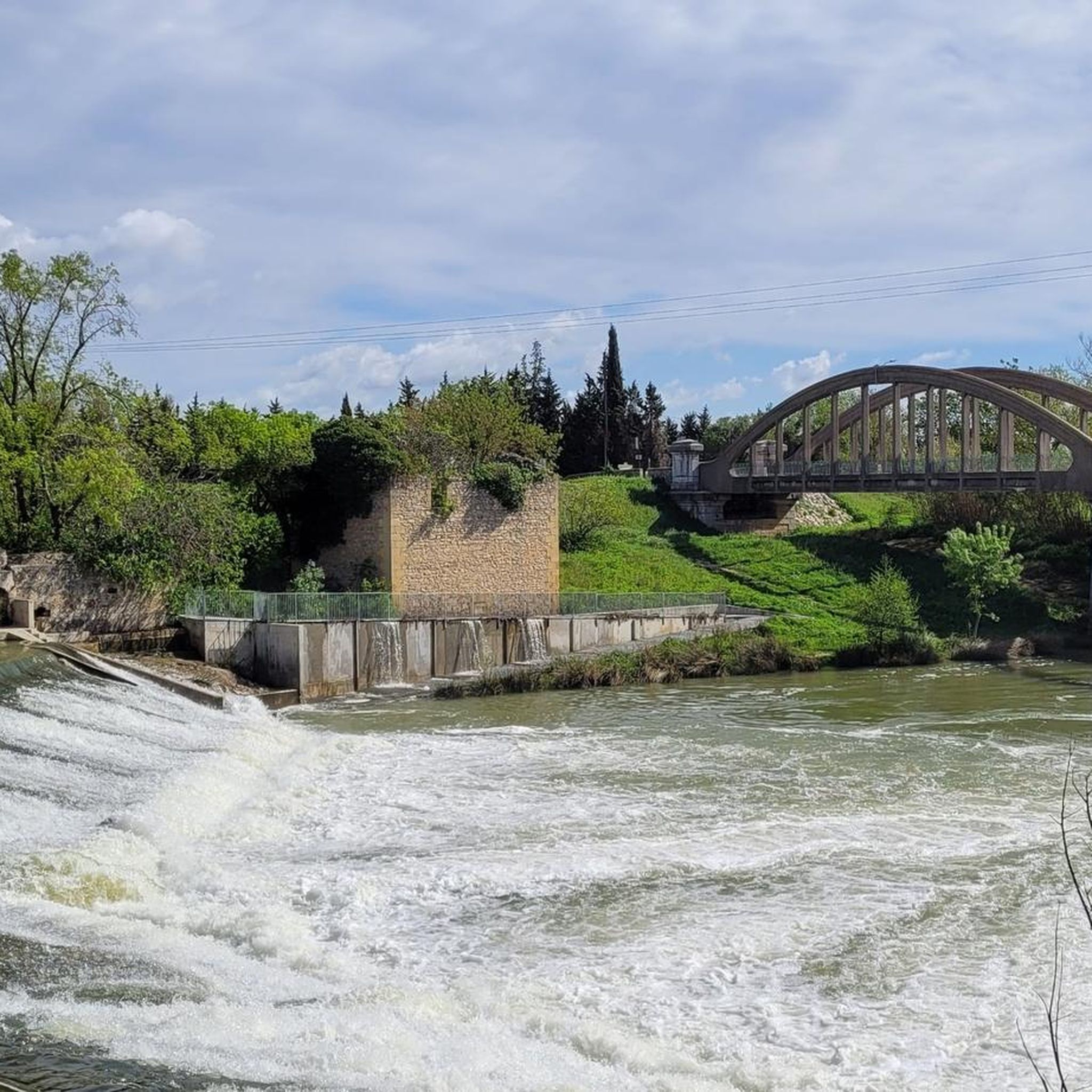
Only an arch remains of the Roman bridge spanning the Vidourle, but the site has a lot of charm and remains a must-see when you drive in the surrounding area.
0
0
Frequently Asked Questions
How many hiking trails are available around Aimargues?
There are over 140 hiking routes documented around Aimargues on komoot, offering a wide variety of options for different skill levels and preferences.
Are there many easy hiking trails suitable for beginners in Aimargues?
Yes, the region is known for its generally flat terrain, making it very accessible for beginners. Over 70 of the 146 available routes are rated as easy. For example, the Pont Ambroix – Ambroix Bridge loop from Via Domitia is an easy 2.8-mile (4.5 km) trail that explores historical landmarks and riverside scenery.
What is the typical length of hiking trails around Aimargues?
Trails vary in length, catering to both short strolls and longer excursions. You'll find routes like the Ambroix Bridge loop from Via Domitia at 2.4 miles (3.9 km) for a quick walk, up to more extensive options such as the Pont Ambroix – Ambrussum Museum loop from Lunel which is 8.8 miles (14.1 km).
Are there family-friendly hiking options suitable for children in Aimargues?
Absolutely. The predominantly flat terrain and numerous easy routes make Aimargues ideal for families. Many trails follow river paths or explore historical sites, providing engaging and manageable walks for all ages. Consider routes that pass by the historic Pont Ambroix for an interesting family outing.
Can I bring my dog on the hiking trails in Aimargues?
Many trails in Aimargues are suitable for dogs, especially those that traverse open fields and agricultural areas. However, it's always recommended to keep your dog on a leash, particularly when passing through farmland or near livestock, and to check specific route details for any restrictions.
What kind of landscape can I expect to see while hiking in Aimargues?
The landscape around Aimargues is characterized by low elevation changes, open fields, and agricultural areas. You'll often find trails following river paths and historical routes, with occasional wooded sections. The region offers a blend of cultural and natural exploration, including views of historical bridges and the flat, expansive terrain of the Camargue.
Are there any circular walks available in Aimargues?
Yes, many of the routes around Aimargues are designed as circular walks, allowing you to start and end at the same point. Examples include the Pont Ambroix – Ambroix Bridge loop from Via Domitia and the Prés du Cailar loop from Le Cailar, which is a moderate 6.6-mile (10.6 km) trail.
What interesting landmarks or attractions can I see along the hiking trails?
The region is rich in history and natural beauty. Along the trails, you might encounter historical sites like the Aigues-Mortes City Gate or the Tower of Constance. Natural highlights include the unique Pink Salt Flats of Aigues-Mortes and the Scamandre Discovery Center, offering insights into the local ecosystem.
What do other hikers enjoy most about hiking in Aimargues?
The area is highly rated by the komoot community, with an average score of 4.4 stars from over 400 reviews. Reviewers often praise the region's accessible, flat terrain, the blend of historical and natural sights, and the well-maintained paths that make for enjoyable and leisurely walks.
Is public transport available to reach hiking trailheads in Aimargues?
While specific public transport options vary by trailhead, Aimargues and nearby towns like Lunel are generally accessible by regional transport. For routes starting further afield, such as the Musée Médard – Lunel loop from Lunel, public transport to the starting point is often feasible. It's advisable to check local bus or train schedules for the most up-to-date information.
Are there any viewpoints or scenic spots along the trails in Aimargues?
While the terrain is generally flat, trails often offer expansive views of the Camargue landscape, agricultural fields, and river scenery. For a specific viewpoint, consider exploring areas near the Roc de Gachone – 4 Windmills, which provides a vantage point over the surrounding area.
Most popular routes around Aimargues
Most popular attractions around Aimargues

Get inspired with the komoot mobile app


Explore more
Browse the best Hikes in other regions.
