The best walks and hikes around Obermorschweiler
4.6
(432)
2,787
hikers
370
hikes
Hiking around Obermorschweiler offers access to varied terrain within the Haut-Rhin department of Alsace, France. The region is characterized by rolling hills and lush green landscapes of the Sundgau, alongside the more expansive natural features of the nearby Parc naturel régional des Ballons des Vosges. This area features ancient forests of oak, beech, and fir, with rounded summits and high-altitude pastures providing diverse hiking experiences. Trails often lead through historical sites, including medieval castle ruins and traditional Sundgauvian villages.
Best…
Last updated: July 5, 2026
4.4
(7)
21
hikers
6.25km
01:47
140m
140m
Easy hike. Great for any fitness level. Easily-accessible paths. Suitable for all skill levels.
4.6
(7)
27
hikers
9.88km
02:46
200m
190m
Moderate hike. Good fitness required. Easily-accessible paths. Suitable for all skill levels.

Sign up for free
5.0
(2)
7
hikers
17.8km
04:49
240m
240m
Moderate hike. Good fitness required. Easily-accessible paths. Suitable for all skill levels.
3.0
(2)
8
hikers
20.4km
05:34
310m
310m
Hard hike. Very good fitness required. Easily-accessible paths. Suitable for all skill levels.
5.0
(2)
5
hikers
13.0km
03:32
190m
190m
Moderate hike. Good fitness required. Easily-accessible paths. Suitable for all skill levels.
Get access to more routes and recommendations from other explorers.
Sign up for free
Already have an account?
Our route recommendations are based on thousands of hikes, rides, and runs completed by other people on komoot.
Start today with a free account
Your next adventure awaits.
Login or Signup

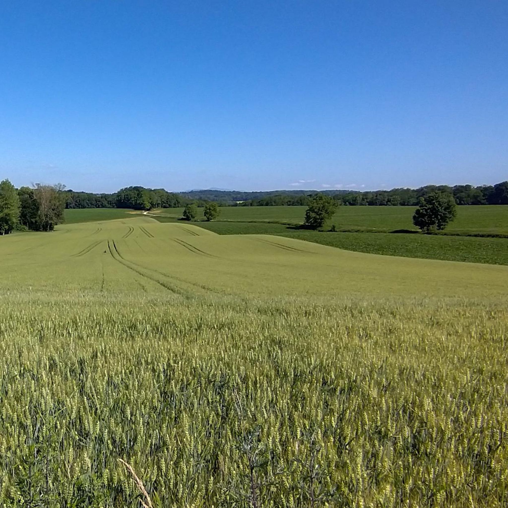
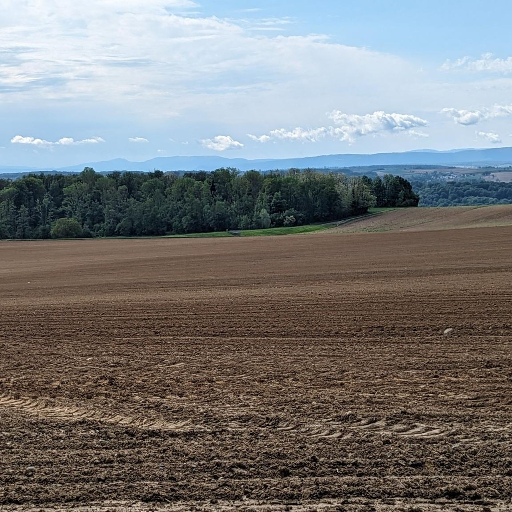
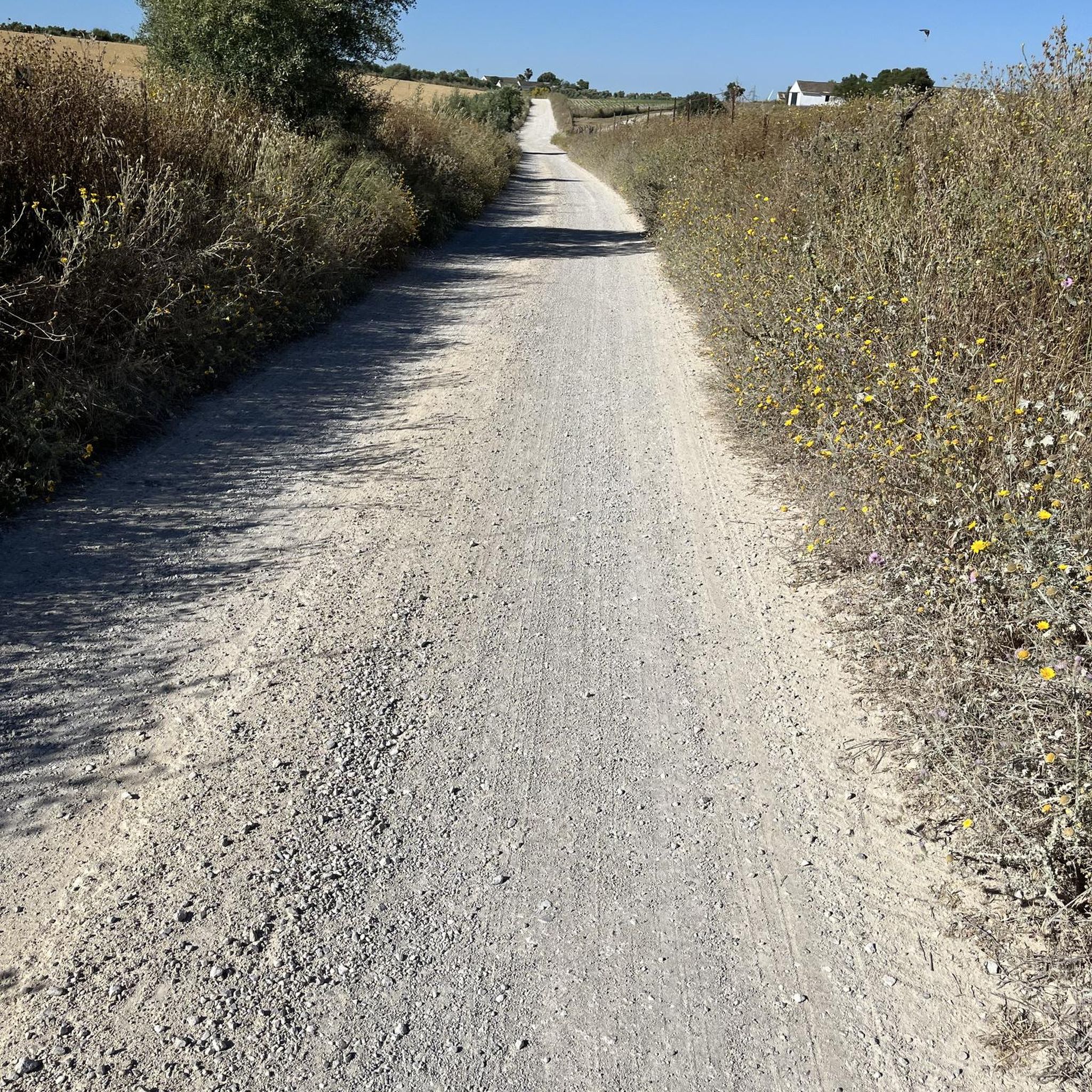
Tips from the Community


Quiet and very pretty trail up to the village of Heilhoff
0
0

The German soldiers who died in the Battle of Mühlhausen in August 1914 are buried there, including the first casualty of World War I. It's a bit off the beaten track and very well maintained.
0
0

In 1720, the religious building was recorded as a ruin. Reconstruction work began in 1765. The chapel was destroyed during the Revolution and rebuilt in 1870, expanded in 1925, and the last restoration was carried out in 1998.
5
0
The Illfurth German War Cemetery was established by the French military authorities in April 1920. As a collective cemetery, it housed some of the fallen soldiers from the battles of August 7 and 17, 1914. The transfer of war dead to Illfurth, who had been provisionally buried in 64 municipalities and districts during the war or who had died in French captivity, ended in 1924. Among those reburied was the first German casualty of the 1914-1918 War on the Western Front, Lieutenant Albert Mayer, who fell on August 2, 1914, while on patrol. The first French soldier also lost his life in this battle. Several memorials erected in field cemeteries during the war were also relocated to Illfurth.
8
0

A few more photos and texts can be found in the corresponding hiking highlight in the komoot system, under the title "Chapelle Notre-Dame-des-Neiges" it can be reached with the following link =>>https://www.komoot.com/de-de/highlight/3297592
0
0
Many churches in France, including this chapel, are dedicated to the Virgin Mary under the widely used title "Notre-Dame" (in German: "Our Dear Lady"). A brief thought on the Mother of God from Albino Luciani (Pope John Paul I): "Mary is indeed our sister, as Saint Ambrose says. She led a life very similar to ours. It is of course beautiful to venerate Mary as the Virgin and Mother of God, as the one conceived immaculately by original sin and taken up into heaven; but she is also the Madonna of plates, brooms and cooking pots..." The visitor to the small Marian shrine can decide for himself which "Notre-Dame" he would like to venerate here.
0
0

This small hill is known in the region as an ancient Roman camp, certainly because of the Roman road located nearby. However, no remains have been found to date.
1
0
Frequently Asked Questions
What kind of terrain can I expect when hiking around Obermorschweiler?
Hiking around Obermorschweiler offers a diverse landscape. You'll find rolling hills and lush green areas characteristic of the Sundgau region, along with ancient forests of oak, beech, and fir. Further afield, within the Parc naturel régional des Ballons des Vosges, the terrain includes rounded summits and high-altitude pastures, providing varied experiences from gentle walks to more challenging ascents.
Are there many hiking trails available in the Obermorschweiler area?
Yes, the area around Obermorschweiler boasts a comprehensive network of trails. There are over 350 hiking routes available, catering to various skill levels. This includes approximately 148 easy routes, 188 moderate routes, and 19 more challenging trails.
What do other hikers enjoy most about the trails near Obermorschweiler?
The hiking trails around Obermorschweiler are highly regarded by the komoot community, with an average rating of 4.6 stars. Hikers frequently praise the varied terrain, from peaceful forest paths to open fields, and the well-maintained routes that offer a mix of natural beauty and historical interest.
Are there any family-friendly hiking options around Obermorschweiler?
Absolutely. Many of the 148 easy routes are suitable for families. For example, the Luemschwiller – Our Lady of the Snows Chapel loop from Luemschwiller is an easy 3.8-mile (6.1 km) trail with gentle ascents, perfect for a family outing. The village of Obermorschweiler itself also has an architectural heritage trail that's great for cultural exploration with children.
Can I find circular hiking routes in the region?
Yes, many of the trails around Obermorschweiler are designed as circular routes, allowing you to start and end in the same location. Examples include the Luemschwiller – Our Lady of the Snows Chapel loop from Luemschwiller and the Saint-Brice Chapel – Luemschwiller loop from Luemschwiller, offering convenient options for your hike.
Are there any challenging hikes near Obermorschweiler for experienced hikers?
For those seeking a more challenging experience, there are 19 difficult routes in the area. A notable option is the Ancient Roman camp – Motte Castrale de Willer loop from Schwoben, which is a 12.7-mile (20.4 km) trail with over 1,000 feet (300 m) of elevation gain, offering a robust workout and historical exploration.
What kind of landmarks or points of interest can I discover along the trails?
The region is rich in both natural and historical points of interest. You might encounter medieval castle ruins within the Vosges Mountains or explore traditional Sundgauvian villages. Specific highlights near Obermorschweiler include the Zillisheim Drawbridge and Lock No. 35, the Grand Cannon of Zillisheim, and the Eglingen Lock, which offer glimpses into the area's heritage and infrastructure.
Is Obermorschweiler a good base for exploring the Parc naturel régional des Ballons des Vosges?
Yes, Obermorschweiler's location makes it an excellent base for accessing the vast Parc naturel régional des Ballons des Vosges. This park, one of France's largest, offers over 7,000 kilometers of marked trails through varied landscapes, including rounded summits, ancient forests, and high-altitude pastures, all within easy reach.
Are there any trails that lead through dense woodlands?
Many routes in the Obermorschweiler area traverse dense woodlands. For instance, the Memorial Bench in the Forest loop from Tagsdorf is an 11.0-mile (17.7 km) trail that specifically leads through extensive forested sections, providing a serene hiking experience amidst the trees.
What is the best time of year to go hiking in Obermorschweiler?
The region offers pleasant hiking conditions throughout much of the year. Spring brings blooming flora, while autumn showcases vibrant fall foliage in the extensive forests. Summer is ideal for longer days and exploring higher elevations in the nearby Vosges Mountains. Even winter can offer unique experiences, though some trails might require appropriate gear for snow or ice.
Are there opportunities for wildlife spotting on the trails?
The natural areas around Obermorschweiler, particularly within the Parc naturel régional des Ballons des Vosges, are rich in biodiversity. Hikers might spot various wildlife, including roe deer, chamois, and a diverse array of birdlife. The ancient forests and high-altitude pastures provide habitats for many species.
How long do hikes typically take around Obermorschweiler?
Hike durations vary significantly depending on the route's length and difficulty. Easy trails like the Luemschwiller – Our Lady of the Snows Chapel loop can be completed in under two hours. Moderate routes, such as the Memorial Bench in the Forest loop from Tagsdorf, might take around 4 to 5 hours, while more challenging and longer trails can extend to 6 hours or more.
Most popular routes around Obermorschweiler
Most popular attractions around Obermorschweiler

Get inspired with the komoot mobile app


Explore more
Browse the best Hikes in other regions.
