The best road cycling routes around Heiweiler
4.5
(111)
2,429
riders
232
rides
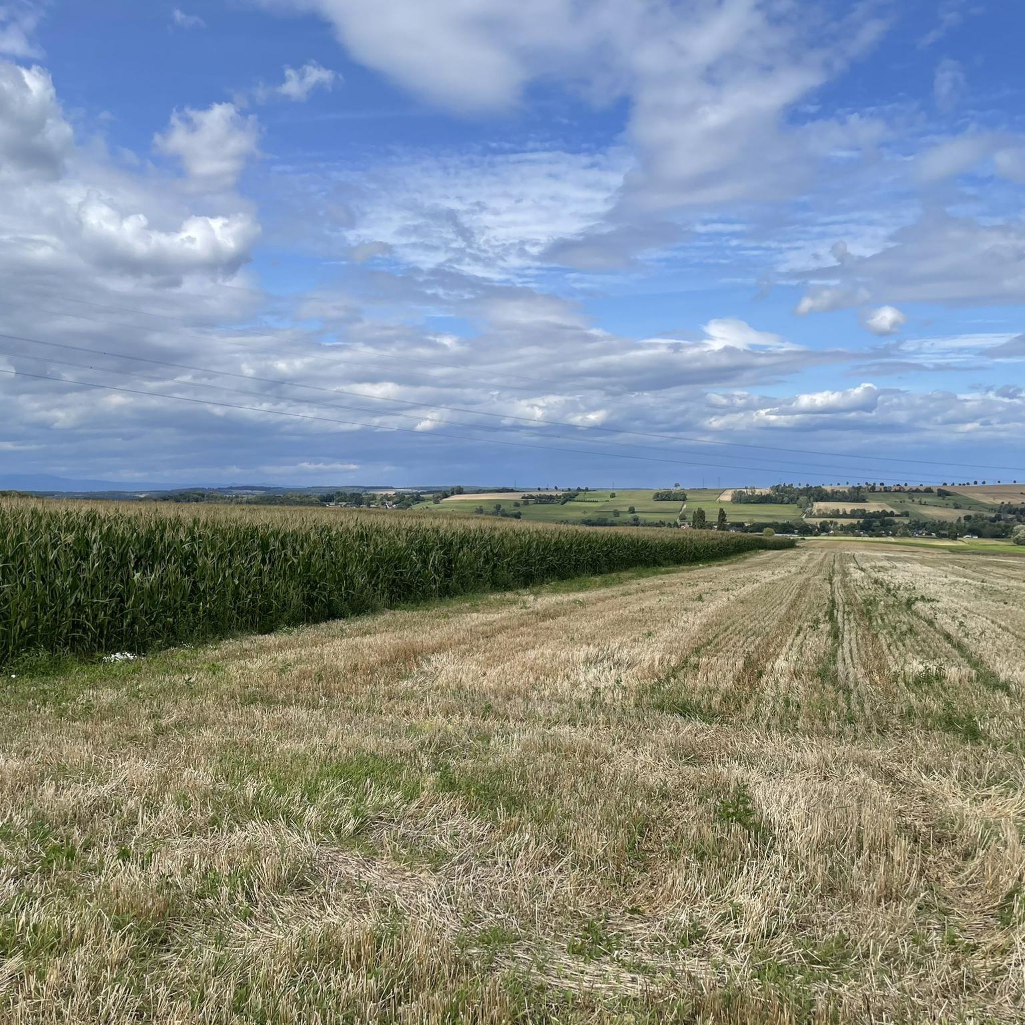
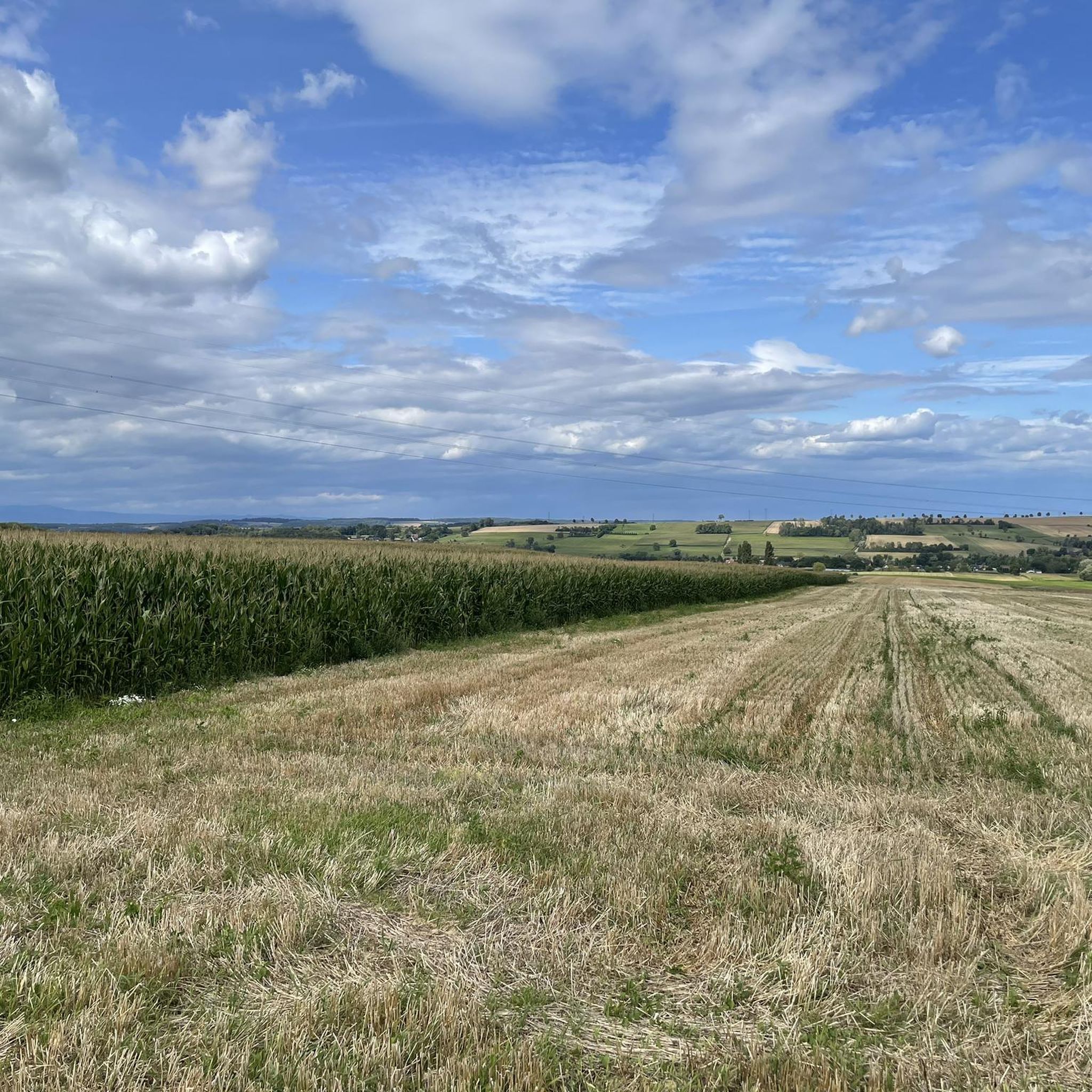
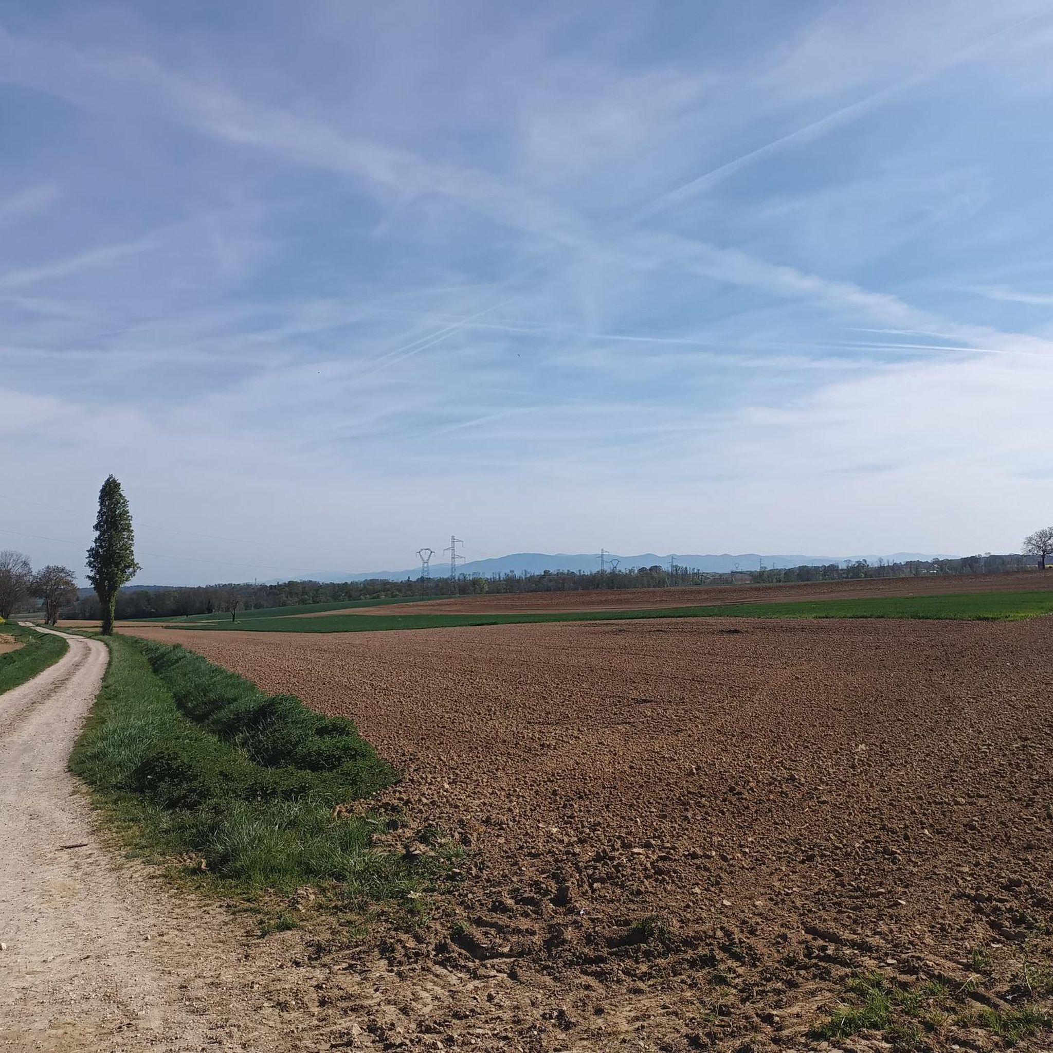
Road cycling routes around Heiweiler traverse a landscape characterized by rolling hills and agricultural plains, often following quiet country roads that connect small villages. The region features moderate elevation changes, with some routes offering views over the surrounding countryside. Road cyclists can expect a mix of open fields and occasional wooded sections, providing varied scenery throughout their rides.
Best road cycling routes around Heiweiler
- The most popular road cycling route is Vue sur Wolschwiller – Bridge over the Ill in…
Last updated: May 22, 2026
39
riders
50.7km
02:19
540m
540m
Moderate road ride. Good fitness required. Mostly well-paved surfaces and easy to ride.
34
riders
57.9km
02:33
450m
450m
Moderate road ride. Good fitness required. Mostly well-paved surfaces and easy to ride.

Sign up for free
27
riders
41.5km
01:41
190m
190m
Easy road ride. Great for any fitness level. Mostly well-paved surfaces and easy to ride.
4.8
(6)
14
riders
30.2km
01:17
180m
180m
Easy road ride. Great for any fitness level. Mostly well-paved surfaces and easy to ride.
5.0
(1)
8
riders
17.6km
00:47
140m
140m
Easy road ride. Great for any fitness level. Mostly well-paved surfaces and easy to ride.
Get access to more routes and recommendations from other explorers.
Sign up for free
Already have an account?
Our route recommendations are based on thousands of hikes, rides, and runs completed by other people on komoot.
Start today with a free account
Your next adventure awaits.
Login or Signup


Tips from the Community

I can only agree with Mattia: it's a short stretch of road through fields, but otherwise completely unspectacular, not even worth a tip...
0
0

Biederthal is often reached by car from Basel / the Birstal valley, but this point here is nothing special in itself.
0
0
The former Altkirch-Waldighofen railway line has been converted into a cycle path in some sections, leading through fields and forests without disturbing car traffic. Highly recommended!
0
0

Before arriving at the Rail Trail, one is surrounded by magnificent half-timbered typical Alsatian houses from 100 years ago. The road is in need of some repairs.
0
0

Nice asphalted cycleway with mostly smooth surface, once in a while a few bumps created by the roots of trees below the surface. The only place where one must slow down and look where one is riding, is 1 km before Altkirch which looks to have been damaged from floods creating potholes and broken asphalt but this is the only real obstacle on this nicely well kept cycleway.
0
0
This cycling route for the most part is in very good condition, in some places a bit in need of repair from the roots of trees pushing up the asphalt, at times creating an uneven bumpy surface. The only place where one needs to pay attention is near the last 1 km before Altkrich where it seems the proximity of the cycleway to the stream has been damaged by floods, which has made the surface rough and a lot of potholes, other than that, one can really ride well on this cycleway.
0
0
Fresh public water fountains are sometimes scarce in France. A big thank you to the city officials of Hirtzbach for creating this public fountain. A perfect stop to tank up your water bottles and a lot of shade in the summertime.
0
0
Frequently Asked Questions
How many road cycling routes are available around Heiweiler?
There are over 240 road cycling routes available around Heiweiler, offering a wide range of options for different skill levels and preferences.
What are the general characteristics of road cycling in Heiweiler?
Road cycling routes around Heiweiler are characterized by rolling hills and agricultural plains, often following quiet country roads that connect small villages. You can expect moderate elevation changes and varied scenery, including open fields and occasional wooded sections.
Are there road cycling routes suitable for beginners in Heiweiler?
Yes, Heiweiler offers a good selection of routes suitable for beginners. There are 55 easy routes, such as the Wittersdorf – Altkirch loop from Hausgauen, which is 25.8 miles (41.5 km) long, or the shorter Knœringue Village Center – Between Willer and Hundsbach loop from Hausgauen at 17.5 miles (28.2 km).
What kind of terrain can I expect on road cycling routes near Heiweiler?
The terrain in Heiweiler primarily features rolling hills and agricultural plains. Routes often follow quiet country roads, providing a mix of gentle ascents and descents. You'll encounter open fields and some wooded areas, offering diverse views throughout your ride.
Are there any interesting landmarks or sights to see along road cycling routes in Heiweiler?
Yes, you can discover several interesting landmarks. For example, you might pass by the Zillisheim Drawbridge and Lock No. 35, the historic Grand Cannon of Zillisheim, or the Illfurth German military cemetery. The Altkirch-Hirsingue cycle path, a former railway line, also offers a unique cycling experience.
What do other road cyclists enjoy most about the routes in Heiweiler?
The road cycling routes in Heiweiler are highly rated by the komoot community, with an average score of 4.5 stars from over 130 reviews. Cyclists often praise the varied terrain, the quiet country roads, and the scenic views over the surrounding countryside.
Are there any long-distance road cycling routes near Heiweiler?
Yes, Heiweiler offers several longer routes. The Hausgauen <-> Grenzingen – Wittersdorf loop from Hausgauen is a moderate 35.9 miles (57.8 km) path, and the Vue sur Wolschwiller – Bridge over the Ill in Fislis loop from Hausgauen covers 31.5 miles (50.7 km).
Can I find family-friendly road cycling routes in Heiweiler?
Many of the easy and moderate routes are suitable for families, especially those that follow quieter country roads and have less elevation gain. Look for routes marked as 'easy' in the komoot app for the most family-friendly options.
Are there road cycling routes with scenic viewpoints in Heiweiler?
Yes, routes like the Vue sur Wolschwiller – Bridge over the Ill in Fislis loop from Hausgauen are known for offering scenic views over the surrounding countryside and passing over the Ill river.
Are there circular road cycling routes available in Heiweiler?
Many of the popular road cycling routes in Heiweiler are circular loops, designed to bring you back to your starting point. Examples include the Wittersdorf – Altkirch loop from Hausgauen and the Wittersdorf – Riverside café loop from Hausgauen.
Is parking available near the starting points of road cycling routes in Heiweiler?
While specific parking information for each route varies, many routes start from villages or towns where public parking is generally available. It's advisable to check the route details on komoot for specific parking recommendations near your chosen starting point.
What are some moderate road cycling routes for a good workout in Heiweiler?
For a good workout, consider moderate routes like the Hausgauen <-> Grenzingen – Wittersdorf loop from Hausgauen, which covers 35.9 miles (57.8 km) with varied terrain, or the Vue sur Wolschwiller – Bridge over the Ill in Fislis loop from Hausgauen, a 31.5 miles (50.7 km) trail with moderate elevation.
Most popular attractions around Heiweiler

Get inspired with the komoot mobile app


Explore more
Browse the best Road cycling routes in other regions.
