The best running trails around Beaucaire
4.5
(5)
504
runners
29
runs
Jogging routes around Beaucaire traverse a diverse landscape, blending natural features with historical sites. The region is characterized by Mediterranean garrigue, featuring scrubland with aromatic plants and views of the Rhône Valley and Alpilles mountains. Running trails often follow the Rhône-Sète Canal and the banks of the Rhône, providing flat, scenic paths. The area also includes wooded hills and ancient paths, offering varied terrain for runners.
Best jogging routes around Beaucaire
- The most popular jogging route is The Aiguille rock formation loop from Beaucaire, a 7.3 miles (11.7 km) trail that takes 1 hour 23 minutes to complete. This route features moderate elevation gain and views of the distinctive rock formations.
- Another top favourite among local runners is Château de Beaucaire – Port of Beaucaire loop from Beaucaire, a moderate 8.0 miles (12.8 km) path. This route combines historical landmarks like the Château de Beaucaire with scenic stretches along the port and canal.
- Local runners also love the Pont du Gard Greenway loop from Beaucaire, a 10.3 miles (16.6 km) trail leading through varied terrain, often completed in about 1 hour 44 minutes.
- Jogging around Beaucaire is defined by Mediterranean garrigue, canal-side paths, and wooded hills. The network offers options for easy, moderate, and difficult running, catering to different ability levels.
- The routes in Beaucaire are highly rated by the komoot community with an average score of 4.7 stars from 4 reviews. More than 400 runners have used komoot to explore Beaucaire's varied terrain.
Last updated: May 18, 2026
77
runners
11.7km
01:23
170m
170m
Moderate run. Good fitness required. Mostly accessible paths. Some sure footedness required.
63
runners
13.0km
01:31
160m
160m
Moderate run. Good fitness required. Mostly paved surfaces. Suitable for all skill levels.

Sign up for free
5.0
(2)
42
runners
16.6km
01:46
90m
90m
Hard run. Very good fitness required. Mostly paved surfaces. Suitable for all skill levels.
34
runners
9.62km
01:05
30m
30m
Moderate run. Good fitness required. Mostly paved surfaces. Suitable for all skill levels.
28
runners
Moderate run. Good fitness required. Mostly paved surfaces. Suitable for all skill levels.
Get access to more routes and recommendations from other explorers.
Sign up for free
Already have an account?
Our route recommendations are based on thousands of hikes, rides, and runs completed by other people on komoot.
Start today with a free account
Your next adventure awaits.
Login or Signup
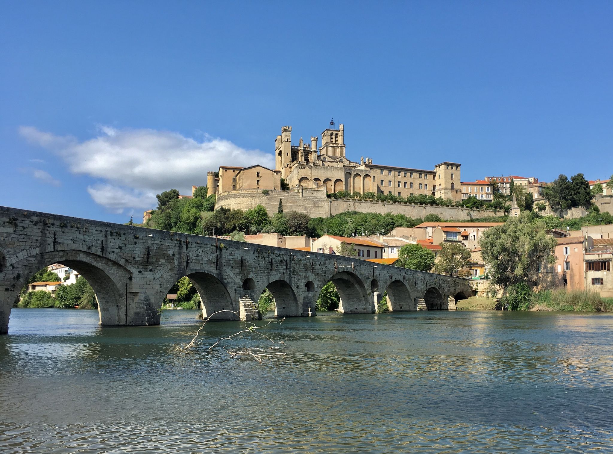
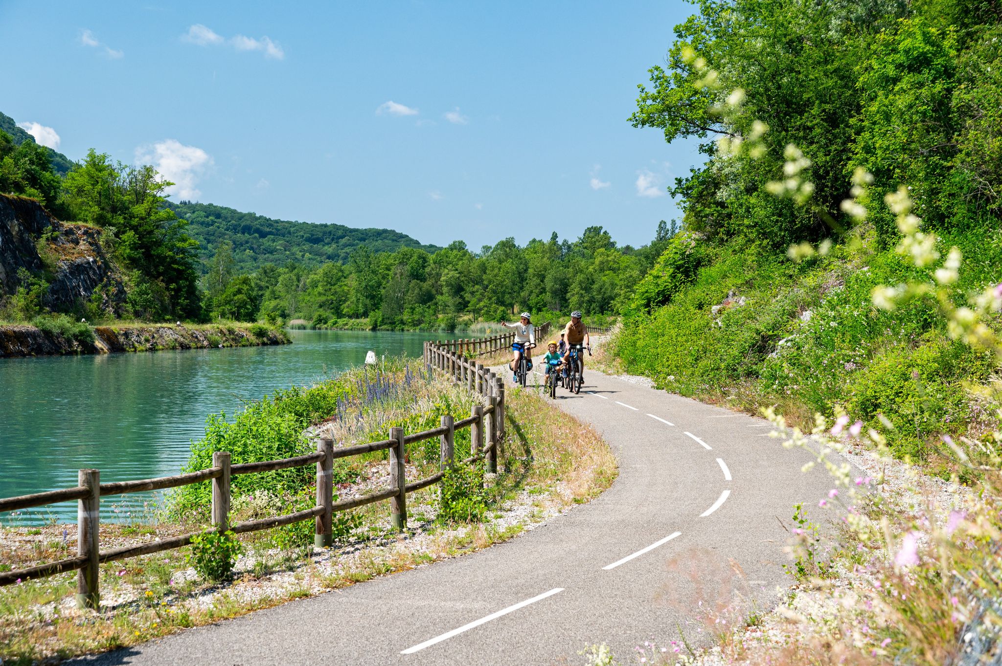
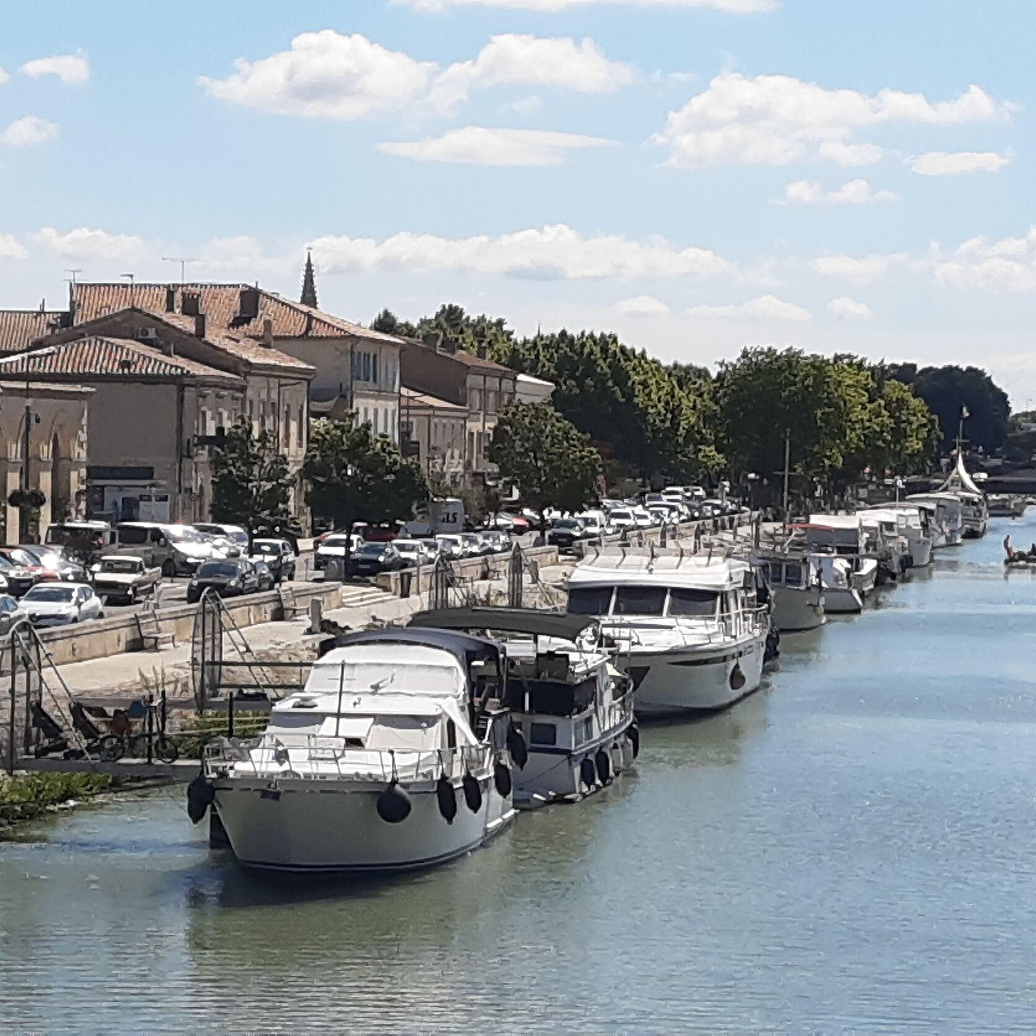
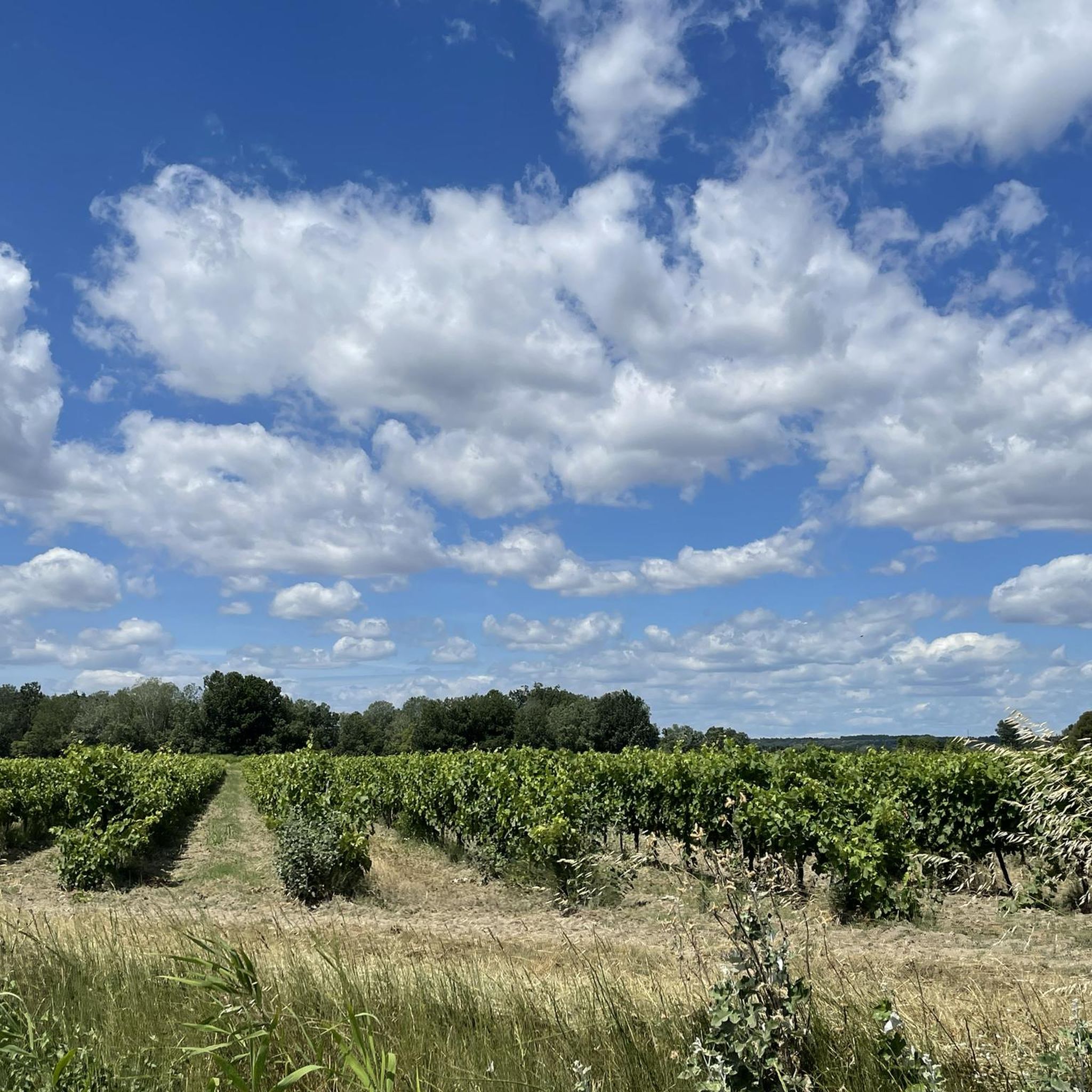



Tips from the Community

Super layout of an old railway line.
0
0

nice little tunnel on an old railway line
0
0

Do this circuit during the week, not on the weekend, too many people around
0
0

Don't hesitate to stop in the tunnel to enjoy the light shows.
0
0


Thanks a lot for the nice pictures.
2
0
Frequently Asked Questions
How many running routes are available around Beaucaire?
There are nearly 30 running routes around Beaucaire listed on komoot, catering to various fitness levels. Most of these, about 25, are rated as moderate, with a few easy and difficult options available.
What kind of terrain can I expect on jogging trails in Beaucaire?
Jogging routes in Beaucaire offer a diverse mix of terrain. You'll find paths along the Rhône-Sète Canal and the banks of the Rhône, providing flat and scenic runs. The region also features the distinctive Mediterranean garrigue (scrubland) with its aromatic plants, as well as wooded hills and ancient trails, offering varied surfaces and elevation changes.
Are there any running routes that pass by historical landmarks in Beaucaire?
Yes, many routes in Beaucaire blend natural beauty with historical sites. For example, the Château de Beaucaire – Port of Beaucaire loop from Beaucaire takes you past the impressive Château de Beaucaire. The region's ancient paths, including sections of the GR6 and GR42, often lead past sites like the troglodyte Abbey of Saint-Roman.
What do other runners say about the trails in Beaucaire?
The running routes in Beaucaire are highly regarded by the komoot community, with an average rating of 4.7 stars from over 400 runners. Users often praise the varied terrain that combines historical castles and abbeys with scenic countryside, making for engaging experiences.
Are there any easy running paths suitable for beginners in Beaucaire?
While most routes are moderate, there is at least one easy running path available. Routes along the Rhône-Sète Canal and the banks of the Rhône generally offer flatter, more accessible surfaces, ideal for beginners or a relaxed jog.
Can I find long-distance running trails near Beaucaire?
Yes, Beaucaire offers options for longer runs. The Pont du Gard Greenway loop from Beaucaire is a challenging 10.3-mile (16.6 km) trail that takes about 1 hour 44 minutes to complete, leading through varied terrain.
What natural features can I expect to see while running in Beaucaire?
Beaucaire's running routes showcase the region's unique natural beauty. You'll experience the Mediterranean garrigue with its distinctive scrubland and aromatic plants like thyme and rosemary. Many paths also follow the picturesque Rhône-Sète Canal and the banks of the Rhône, offering views of local flora and fauna. In the distance, you might catch glimpses of the Alpilles mountains.
Are there any circular running routes in Beaucaire?
Yes, many of the running routes around Beaucaire are circular, allowing you to start and end in the same location. Examples include The Aiguille rock formation loop from Beaucaire and the Château de Beaucaire – Port of Beaucaire loop from Beaucaire.
What are some notable attractions or points of interest along the running routes?
Beyond the natural landscapes, several running routes pass by significant attractions. You can explore the Pont du Gard Greenway, or run past the historic Château de Beaucaire. Other nearby highlights include the Arles Amphitheatre and the Van Gogh Bridge.
Are there any running routes that offer good viewpoints in Beaucaire?
Yes, the region around Beaucaire offers several scenic viewpoints. Routes that traverse the garrigue or ascend to higher ground, such as The Aiguille rock formation loop from Beaucaire, often provide expansive views of the Rhône Valley and the Alpilles mountains. The area around the Abbey of Saint-Roman is also known for lovely views across Provence.
What is the best time of year for running in Beaucaire?
Beaucaire benefits from a Mediterranean climate. Spring and autumn generally offer the most pleasant conditions for running, with milder temperatures and blooming landscapes. Summer can be hot, so early morning or late evening runs are advisable, especially on routes with less shade. Winter runs are also possible, often with crisp, clear weather.
Are there any running routes near the Abbey of Saint-Roman?
Yes, you can find running routes that incorporate the historic Abbey of Saint-Roman. The Running loop from Abbaye Saint-Roman is a moderate 9.5 km (5.9 miles) trail that starts from the abbey, offering both historical interest and scenic views.
Most popular attractions around Beaucaire

Get inspired with the komoot mobile app


Explore more
Browse the best Running Trails & Routes in other regions.
