The best walks and hikes around Saint-Hilaire-D'Ozilhan
4.6
(1820)
8,799
hikers
210
hikes
Hiking around Saint-Hilaire-D'Ozilhan offers a variety of trails through diverse landscapes. The region features a mix of rural terrain, river valleys, and historical landmarks, including views of the Pont du Gard. Elevation changes are generally moderate, making many routes accessible for different fitness levels. The area provides opportunities to explore both natural surroundings and cultural heritage on foot.
Best hiking trails around Saint-Hilaire-D'Ozilhan
- The most popular hiking route is Fosses de Fournès Loop, a 3.7 miles (5.9 km) trail…
Last updated: June 25, 2026
4.6
(16)
70
hikers
5.95km
01:37
90m
90m
Easy hike. Great for any fitness level. Easily-accessible paths. Suitable for all skill levels.
4.6
(16)
70
hikers
6.02km
01:39
100m
100m
Easy hike. Great for any fitness level. Easily-accessible paths. Suitable for all skill levels.

Sign up for free
4.9
(9)
33
hikers
11.7km
03:11
150m
150m
Moderate hike. Good fitness required. Mostly accessible paths. Sure-footedness required.
5.0
(2)
22
hikers
12.6km
03:27
190m
190m
Moderate hike. Good fitness required. Mostly accessible paths. Sure-footedness required.
3.0
(1)
26
hikers
3.03km
00:48
20m
20m
Easy hike. Great for any fitness level. Easily-accessible paths. Suitable for all skill levels.
Get access to more routes and recommendations from other explorers.
Sign up for free
Already have an account?
Our route recommendations are based on thousands of hikes, rides, and runs completed by other people on komoot.
Start today with a free account
Your next adventure awaits.
Login or Signup
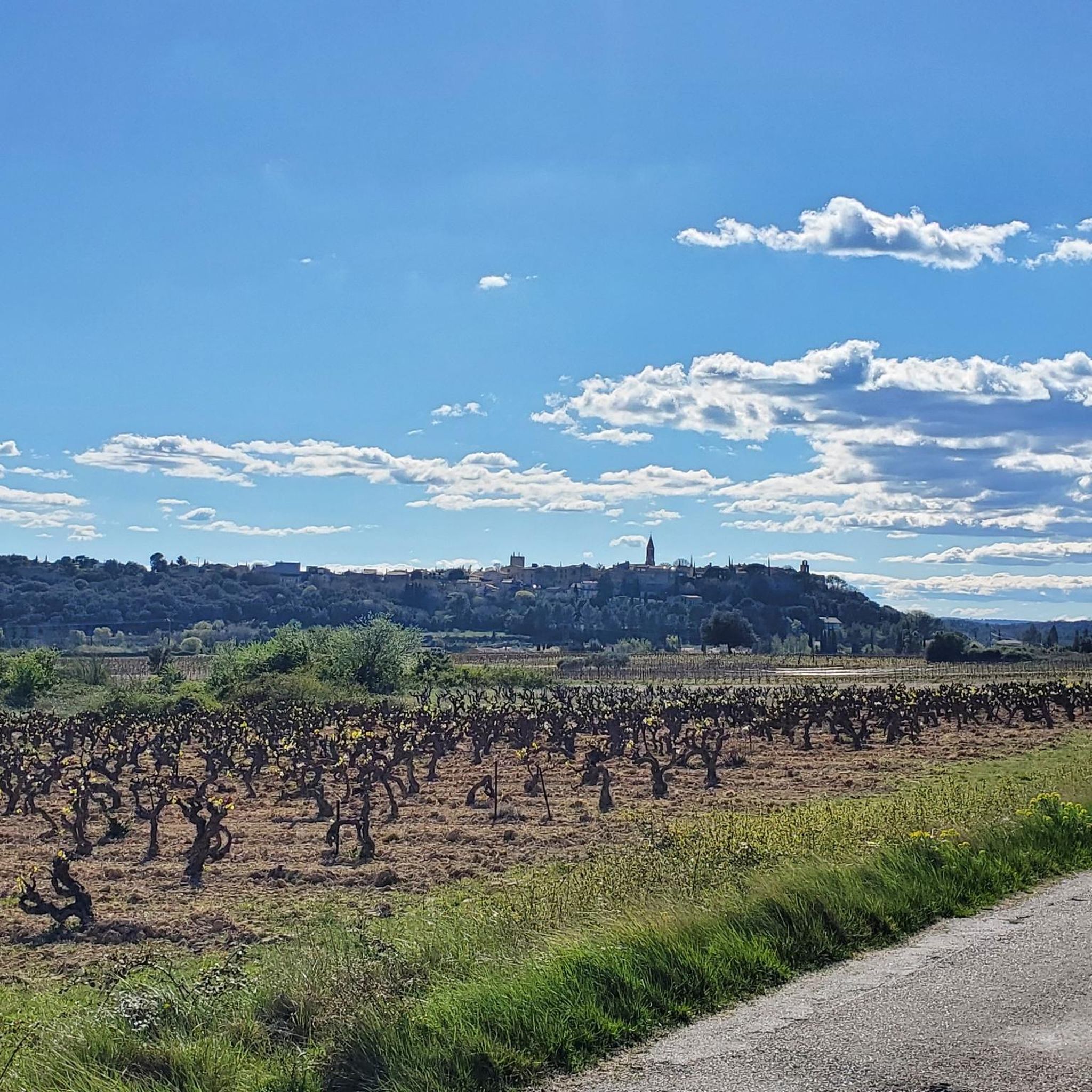
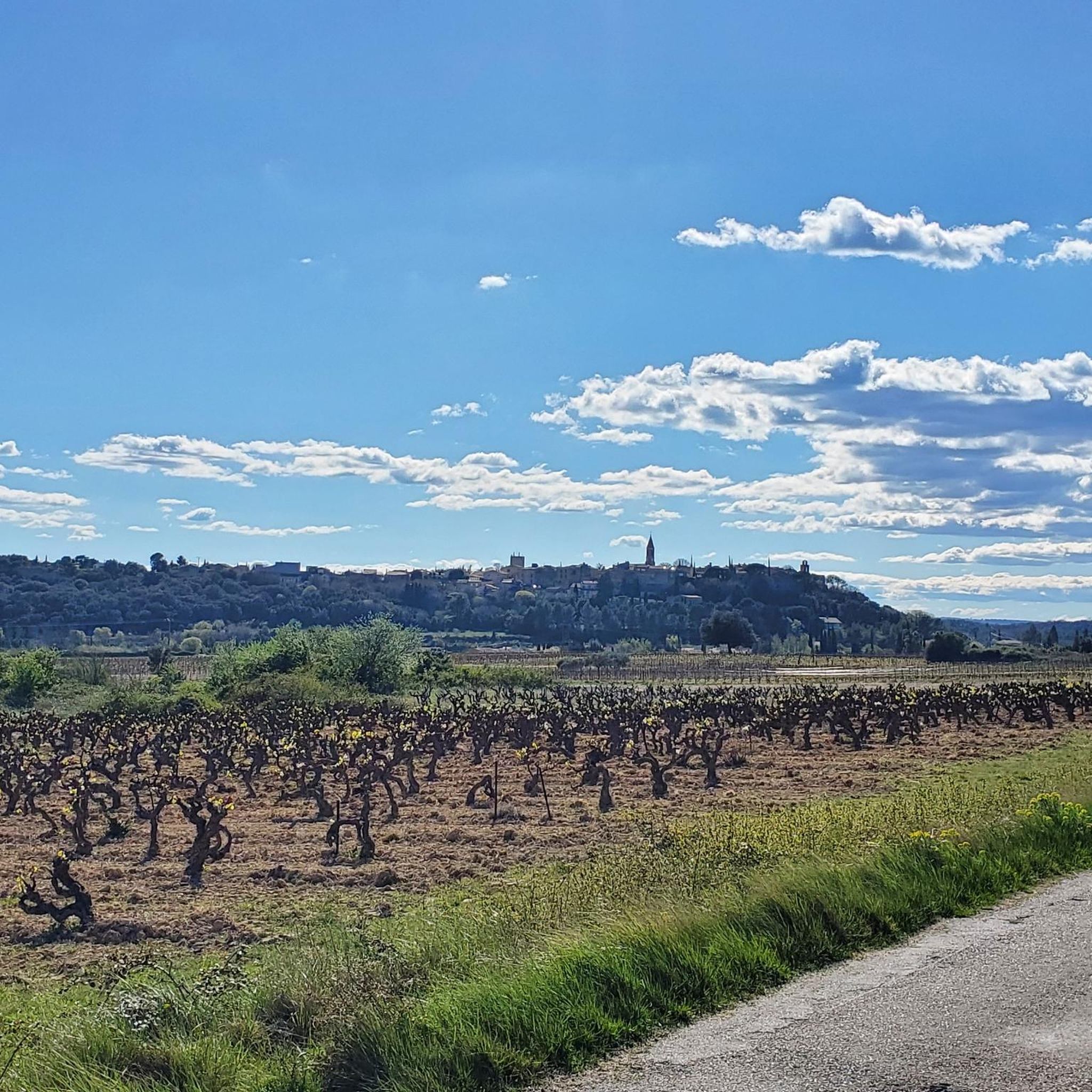
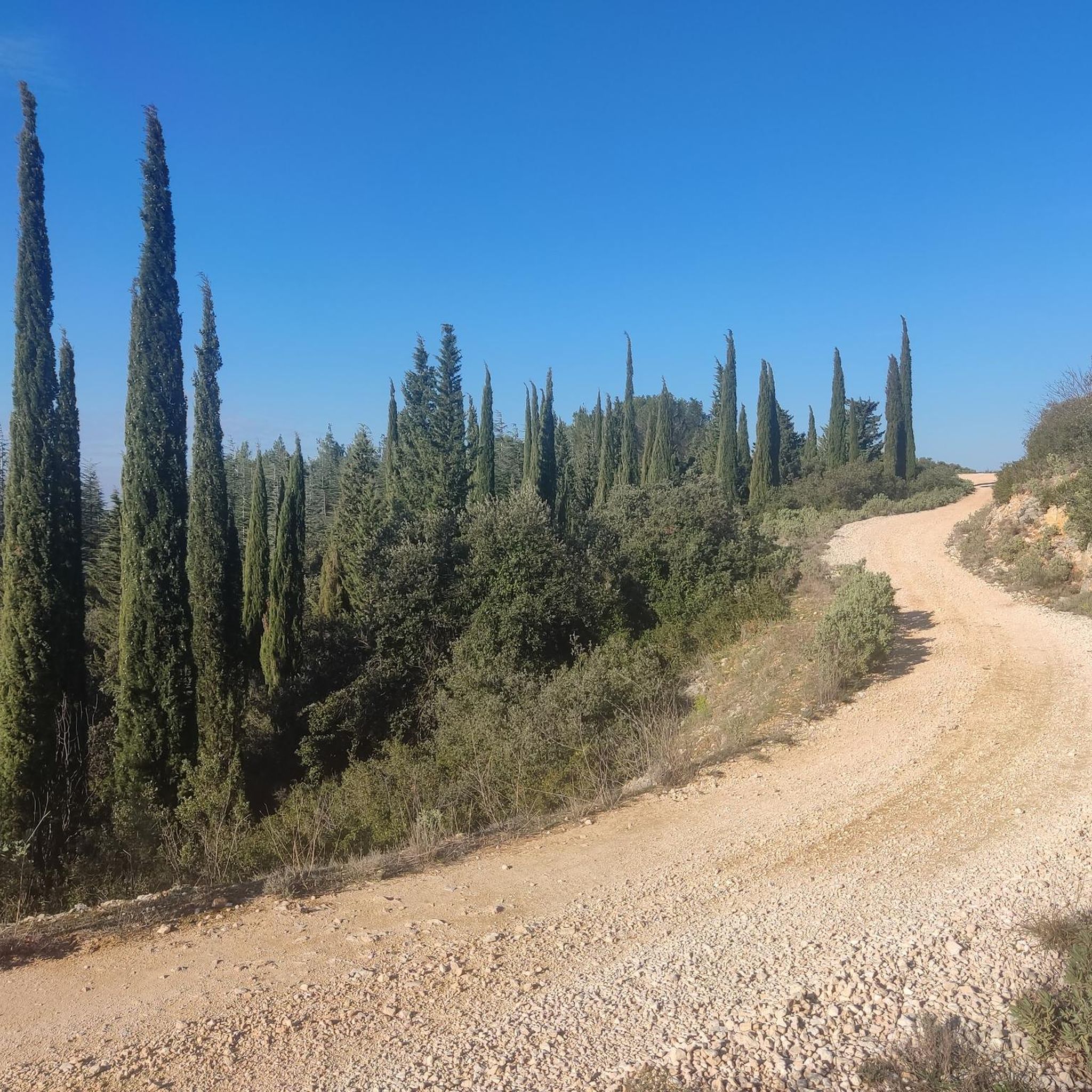
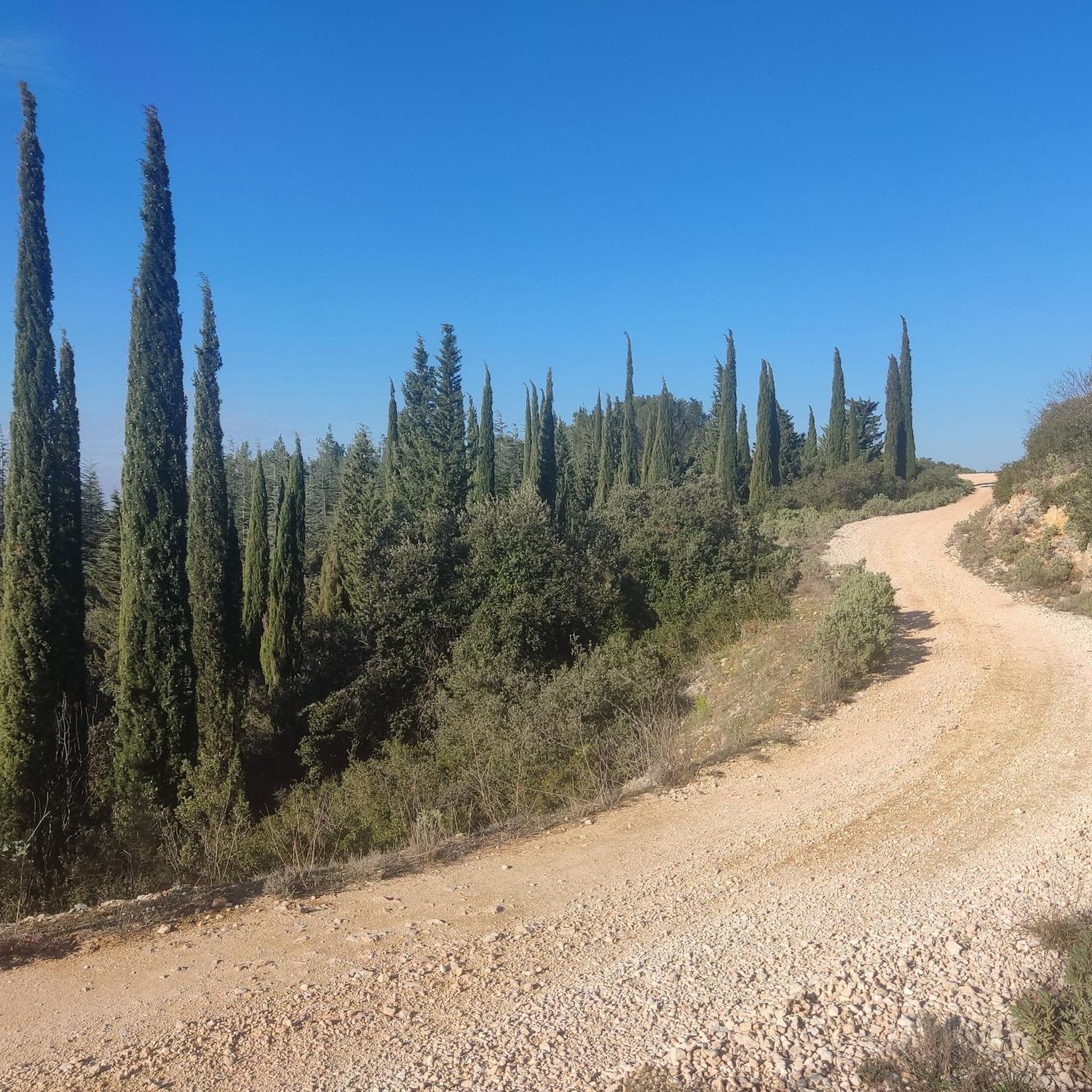
Tips from the Community

A masterpiece of Roman engineering, the Pont du Gard is a UNESCO World Heritage site. This three-tiered aqueduct is one of the region's iconic landmarks.
0
0

It's really nice to walk along the path that runs alongside these ruins!
0
0

Sturdy footwear is recommended! €9 per vehicle for the day. Guided tours cost €15 per adult/€6 per child. This includes your entrance ticket to the adventure rooms.
0
0


Olive trees in the meadow
0
0

superb viewpoint
0
0

The Pont du Gard aqueduct was built in the opus quadratum (Roman ashlar construction method), which means that Cretaceous limestones were used, all of the same height and extracted from quarries near Pont du Gard.
13
0

I was born in the year 908. I measure 5m in trunk circumference, 15m in stump circumference.
0
0
Frequently Asked Questions
How many hiking trails are available around Saint-Hilaire-D'Ozilhan?
There are over 190 hiking routes in the Saint-Hilaire-D'Ozilhan region, offering a wide variety of options for different skill levels and preferences. The komoot community has explored more than 7,800 of these routes.
What is the typical length and difficulty of hikes in Saint-Hilaire-D'Ozilhan?
The trails around Saint-Hilaire-D'Ozilhan vary in length and difficulty. You'll find a good mix, with 87 easy routes, 97 moderate routes, and 11 more challenging trails. Distances range from shorter loops, like the Fosses de Fournès Loop at 3.7 miles (5.9 km), to longer excursions such as the View of the Pont du Gard – Pont du Gard loop from Remoulins - Pont-du-Gard, which is 7.0 miles (11.2 km).
Are there any easy, family-friendly hikes in the area?
Yes, Saint-Hilaire-D'Ozilhan offers many easy routes suitable for families. For instance, the Pure nature – Watch and enjoy loop from Fournès is an easy 3.7 miles (6.0 km) path through natural surroundings, perfect for a relaxed outing. Another great option is the Pont du Gard – Right bank viewpoint loop from Castillon-du-Gard, an easy 3.5 miles (5.7 km) trail with minimal elevation gain.
What kind of landscapes can I expect to see while hiking here?
The region features diverse landscapes, including rural terrain, picturesque river valleys, and historical landmarks. You can expect to encounter a mix of natural surroundings and cultural heritage, with many routes offering views of the iconic Pont du Gard.
What do other hikers enjoy most about the trails in Saint-Hilaire-D'Ozilhan?
The trails in Saint-Hilaire-D'Ozilhan are highly rated by the komoot community, with an average score of 4.6 stars from over 1,500 reviews. Hikers often praise the varied local scenery, the blend of natural beauty with historical sites, and the well-maintained paths that cater to different abilities.
Are there any circular walks available?
Yes, many of the trails around Saint-Hilaire-D'Ozilhan are circular, making them convenient for day trips. Examples include the popular Fosses de Fournès Loop and the Pure nature – Watch and enjoy loop from Fournès, both offering a complete loop experience.
What historical landmarks or points of interest can I see on a hike?
The region is rich in history. Many trails offer views of or pass by the magnificent Pont du Gard, an ancient Roman aqueduct. You might also encounter the Remains of the Old Remoulins Suspension Bridge or the Former Meynes-Montfrin station, adding a cultural dimension to your outdoor adventure.
When is the best time of year to go hiking in Saint-Hilaire-D'Ozilhan?
Given the Mediterranean climate, the best times for hiking are typically spring (April to June) and autumn (September to October). During these seasons, the weather is generally mild and pleasant, avoiding the intense heat of summer and the cooler, potentially wetter conditions of winter. This allows for comfortable exploration of the diverse landscapes.
Are there any trails that offer views of the Pont du Gard?
Absolutely. Several routes are specifically designed to showcase the Pont du Gard. The View of the Pont du Gard – Pont du Gard loop from Remoulins - Pont-du-Gard is a prime example, offering stunning perspectives of this ancient marvel. Another excellent option is the View of the Pont du Gard – View of the Pont du Gard loop from Remoulins.
Is there public transport access to the trailheads?
While specific public transport details for each trailhead are not provided, the region around Saint-Hilaire-D'Ozilhan is generally accessible. It's advisable to check local bus schedules or regional transport options for connections to villages near the starting points of your chosen hikes. Many routes are also easily reachable by car.
Are dogs allowed on the hiking trails?
Generally, dogs are welcome on many hiking trails in the region, especially if kept on a leash. However, it's always recommended to check specific regulations for nature reserves or protected areas you plan to visit, as rules can vary. Always ensure your dog is under control and clean up after them.
Most popular routes around Saint-Hilaire-D'Ozilhan
Most popular attractions around Saint-Hilaire-D'Ozilhan

Get inspired with the komoot mobile app


Explore more
Browse the best Hikes in other regions.
