The best road cycling routes around Brinkheim
4.4
(512)
11,284
riders
134
rides
Road cycling routes around Brinkheim traverse a landscape characterized by rolling terrain, often connecting picturesque villages and following waterways. The region features a network of roads that navigate through open countryside and past agricultural areas. Elevations typically involve gradual ascents and descents, with some routes incorporating more significant climbs over passes.
Best road cycling routes around Brinkheim
- The most popular road cycling route is Knoeringe > Jettingen – Drinking Water Fountain loop from Sierentz, a 33.6 miles (54.1 km) trail…
Last updated: June 24, 2026
5.0
(3)
90
riders
Moderate road ride. Good fitness required. Mostly well-paved surfaces and easy to ride.
4.9
(15)
68
riders
49.9km
02:09
380m
380m
Moderate road ride. Good fitness required. Mostly well-paved surfaces and easy to ride.

Sign up for free
54
riders
50.3km
02:21
120m
120m
Moderate road ride. Good fitness required. Mostly well-paved surfaces and easy to ride.
5.0
(4)
44
riders
72.6km
03:28
870m
870m
Moderate road ride. Good fitness required. Mostly well-paved surfaces and easy to ride.
5.0
(2)
77
riders
47.9km
02:05
320m
320m
Moderate road ride. Good fitness required. Mostly well-paved surfaces and easy to ride.
Get access to more routes and recommendations from other explorers.
Sign up for free
Already have an account?
Our route recommendations are based on thousands of hikes, rides, and runs completed by other people on komoot.
Start today with a free account
Your next adventure awaits.
Login or Signup

Tips from the Community

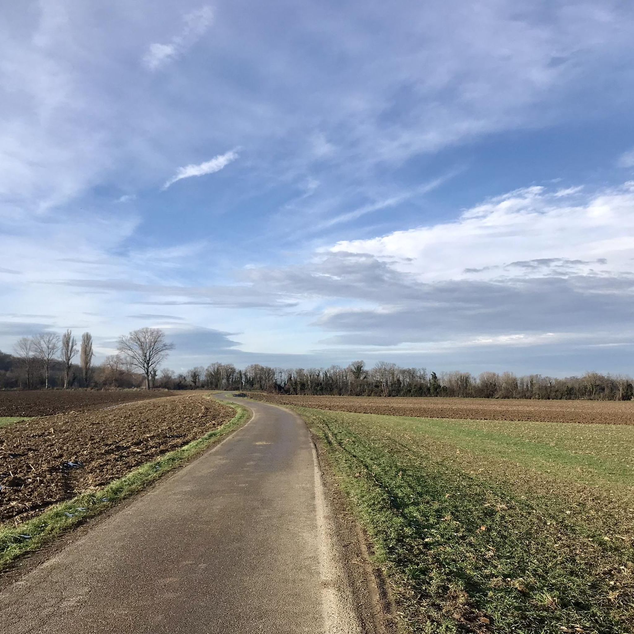
Unlike the Blochmont, which crosses the same ridge just a little further on, this road from Wolschwiller is considerably more challenging. After a gentle start, the route climbs relatively steeply through the narrow valley. A stream flows to the right, while beautiful rock formations are often visible to the left. At the top, near the unmistakable 'Lange Matte' (Long Meadow), the terrain levels out again, and soon you're at the top.
0
0

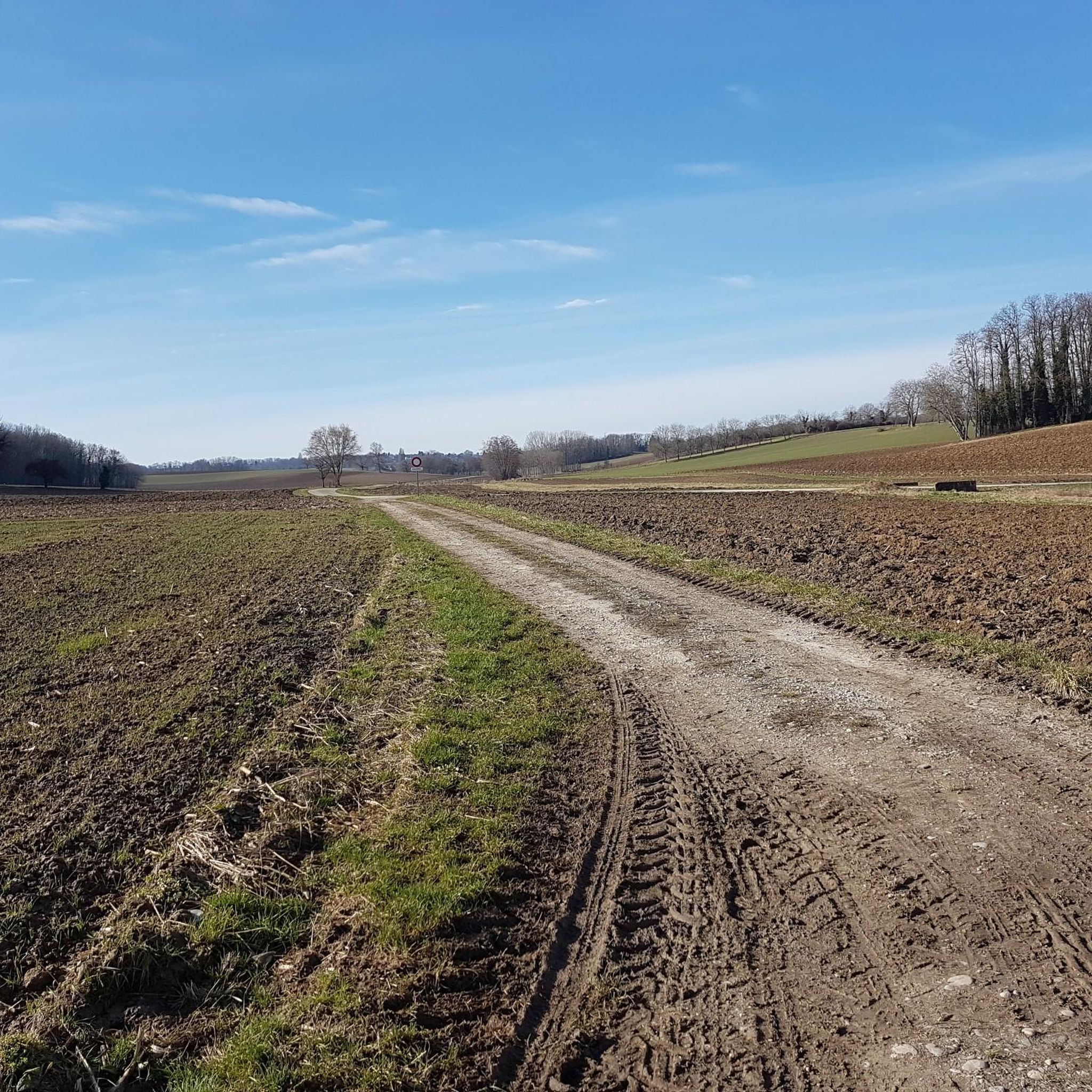
I can only agree with Mattia: it's a short stretch of road through fields, but otherwise completely unspectacular, not even worth a tip...
0
0
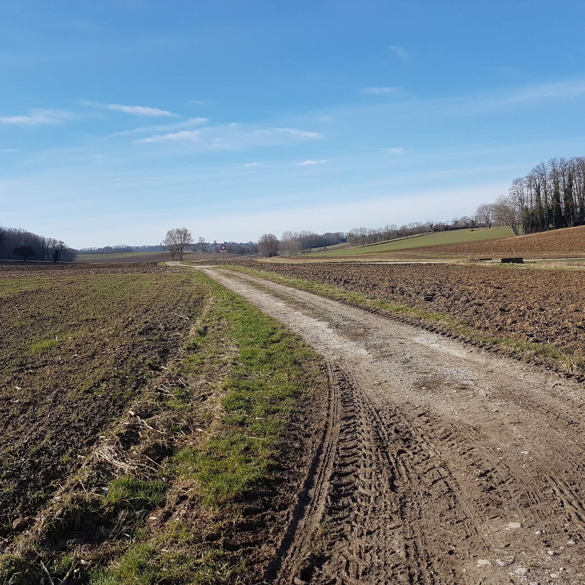
Biederthal is often reached by car from Basel / the Birstal valley, but this point here is nothing special in itself.
0
0

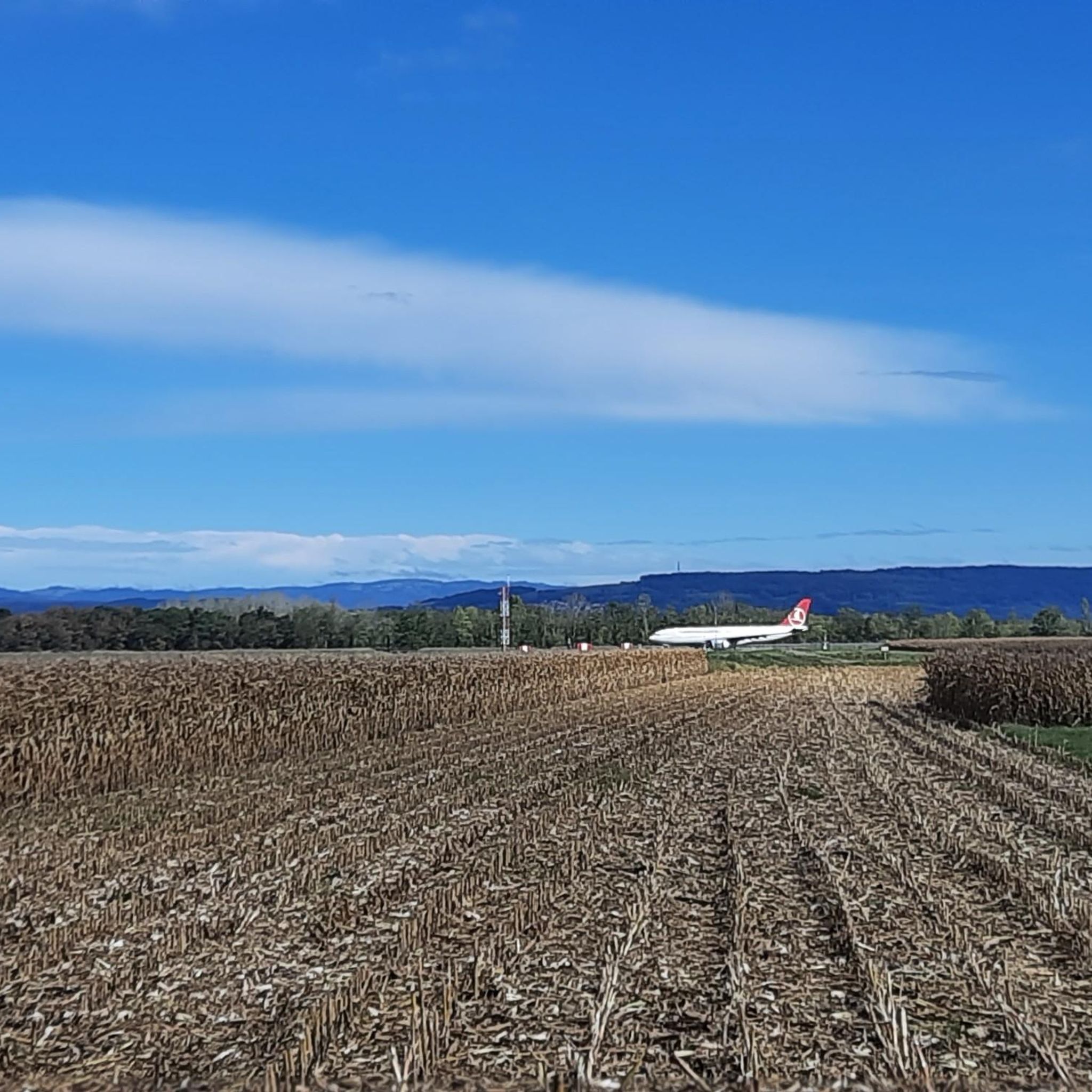
A sign has now been posted: "No drinking water."
0
0

very nice cycle path to Mulhouse without road proximity (no noise) pure nature
0
0

The Kembs Locks are located on the Grand Canal d'Alsace, near Rhine Island. They play a vital role in river navigation and managing the flow of the Rhine. There are several locks in this area, including the Kembs-Niffer Lock, designed by Le Corbusier and inaugurated in 1961. This lock has been listed as a Historic Monument since 2005 due to its remarkable architecture. The locks allow boats to pass between the Grand Canal d'Alsace and the Rhine, facilitating river transport. They are also integrated into EDF's hydroelectric projects, which harness the river's energy to generate electricity.
0
0

Boundless insight: The border triangle of Switzerland, France, and Germany
0
0

The Rhine-Rhone Canal between Sochaux and Mulhouse is an excellent very well kept cycleway with incredibly smooth asphalted surface. Picknick tables as well as numerous small charming cafés and bars line the cycleway.
0
0
Frequently Asked Questions
How many road cycling routes are available in Brinkheim?
Brinkheim offers a comprehensive network of over 130 road cycling routes. These routes cater to various skill levels, from easy rides to more challenging ascents.
What are the typical distances for road cycling routes in Brinkheim?
The road cycling routes in Brinkheim vary in length. For example, popular routes like the Knoeringe > Jettingen – Drinking Water Fountain loop from Sierentz cover approximately 33.6 miles (54.1 km), while the Vue sur Wolschwiller – Blochmont Pass loop from Bartenheim extends to about 45.5 miles (73.3 km).
Are there easy road cycling routes suitable for beginners in Brinkheim?
Yes, Brinkheim has 19 easy road cycling routes perfect for beginners or those looking for a relaxed ride. These routes typically feature gradual ascents and descents, often following canal-side paths or flatter countryside.
Are there challenging road cycling routes for experienced cyclists in Brinkheim?
Experienced cyclists will find 33 challenging routes in Brinkheim. These often incorporate more significant climbs over passes and through rolling terrain, such as the Vue sur Wolschwiller – Blochmont Pass loop from Bartenheim, which includes over 860 meters of elevation gain.
What kind of terrain can I expect on road cycling routes around Brinkheim?
Road cycling routes in Brinkheim traverse a landscape characterized by rolling terrain, connecting picturesque villages and often following waterways. You'll find a mix of open countryside, agricultural areas, and some routes incorporating more significant climbs over passes.
Are there any circular road cycling routes in Brinkheim?
Many of the road cycling routes in Brinkheim are circular, allowing you to start and end at the same point. Examples include the Knoeringe > Jettingen – Drinking Water Fountain loop from Sierentz and the Riverside open-air tavern – Wittersdorf loop from Sierentz.
What do other road cyclists say about the routes in Brinkheim?
The road cycling routes in Brinkheim are highly rated by the komoot community, with an average score of 4.4 stars from over 470 reviews. Cyclists often praise the varied terrain, the connections between charming villages, and the well-maintained paths.
Are there any places to stop for refreshments or practical breaks along the routes?
Yes, some routes are known for practical stops. For instance, the Knoeringe > Jettingen – Drinking Water Fountain loop from Sierentz offers a practical stop, and the Riverside open-air tavern – Wittersdorf loop from Sierentz suggests a stop at a riverside open-air tavern.
What scenic attractions can I see along the road cycling routes in Brinkheim?
Many routes offer scenic views and pass by interesting landmarks. You might encounter sights like the Istein Rapids, the Huningue Canal, or the View of the Rhine Between Istein and Kleinkems. Some routes also explore pretty village centers, such as the Pretty village center 🏘 – Knoeringe > Jettingen loop from Sierentz.
Are there any routes that follow canals or rivers?
Yes, road cycling around Brinkheim often includes canal-side paths and riverside areas. The Grand Canal d'Alsace – Kembs Lock loop from Bartenheim is a great example, following the canal, and the Riverside open-air tavern – Wittersdorf loop from Sierentz leads through riverside sections.
What are some notable man-made structures or bridges to see?
Along the routes, you might pass by structures like the Märkt Rhine Weir, the Kembs Drawbridge on the Huningue Canal, or even the impressive EDF Kembs Hydroelectric Power Plant.
Most popular attractions around Brinkheim

Get inspired with the komoot mobile app


Explore more
Browse the best Road cycling routes in other regions.
