The best cycling routes around Saint-Paul-Les-Fonts
4.4
(439)
3,254
riders
216
rides
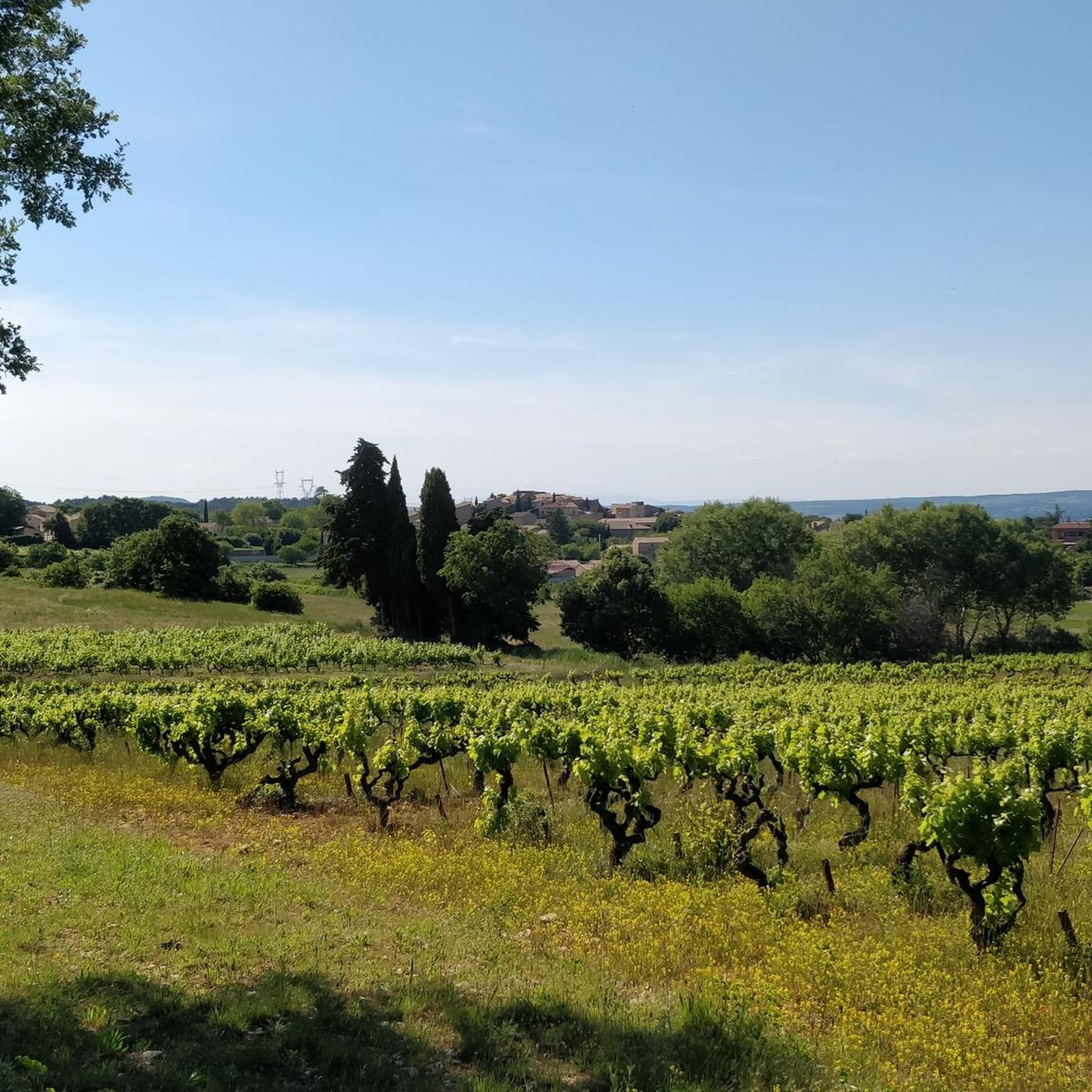
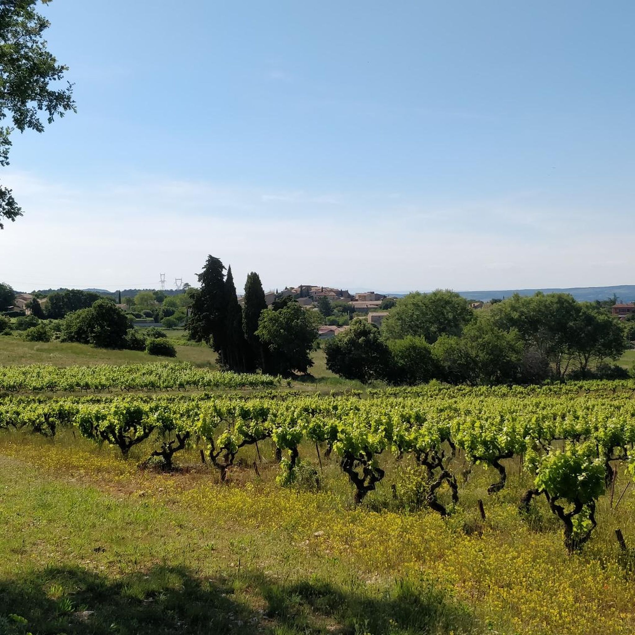
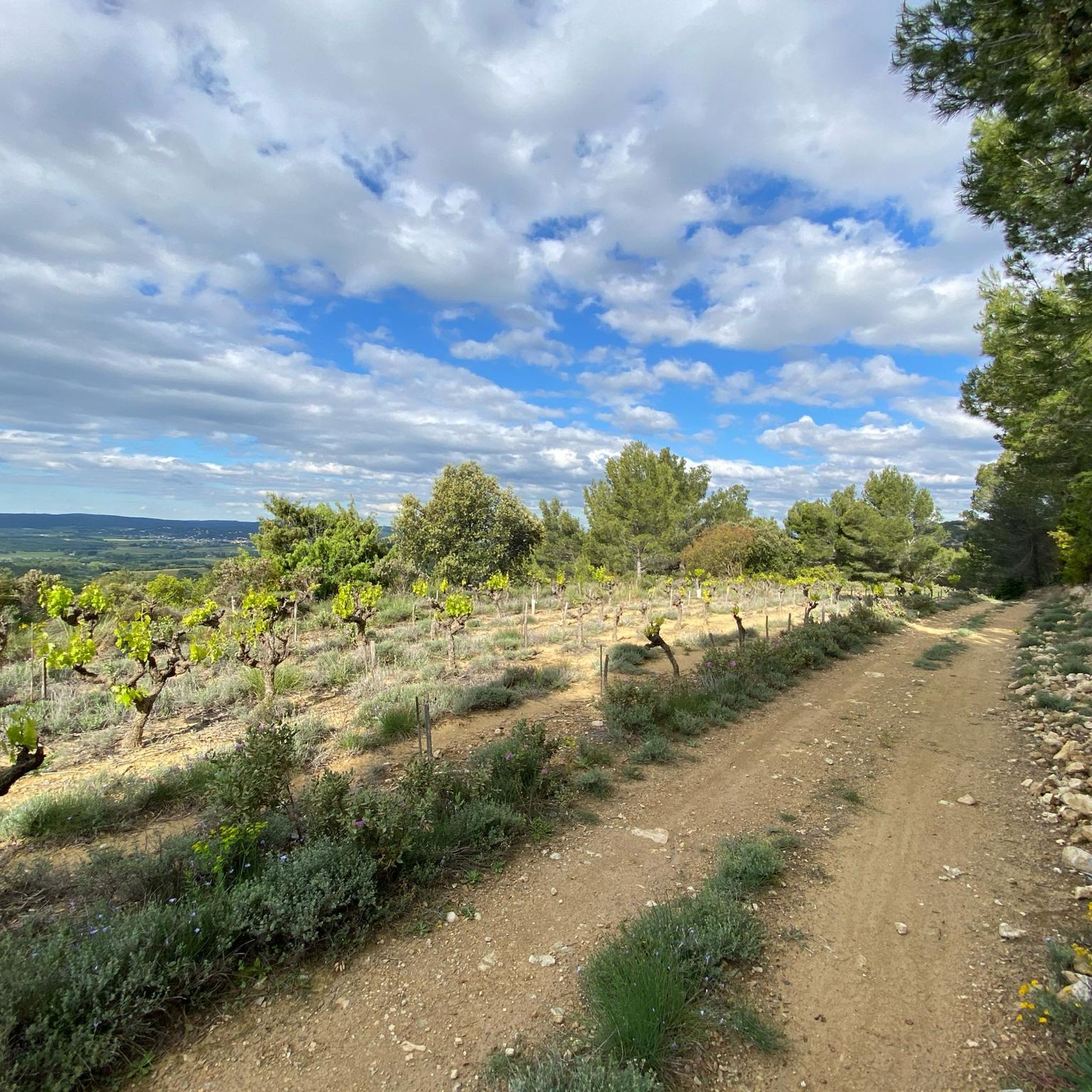
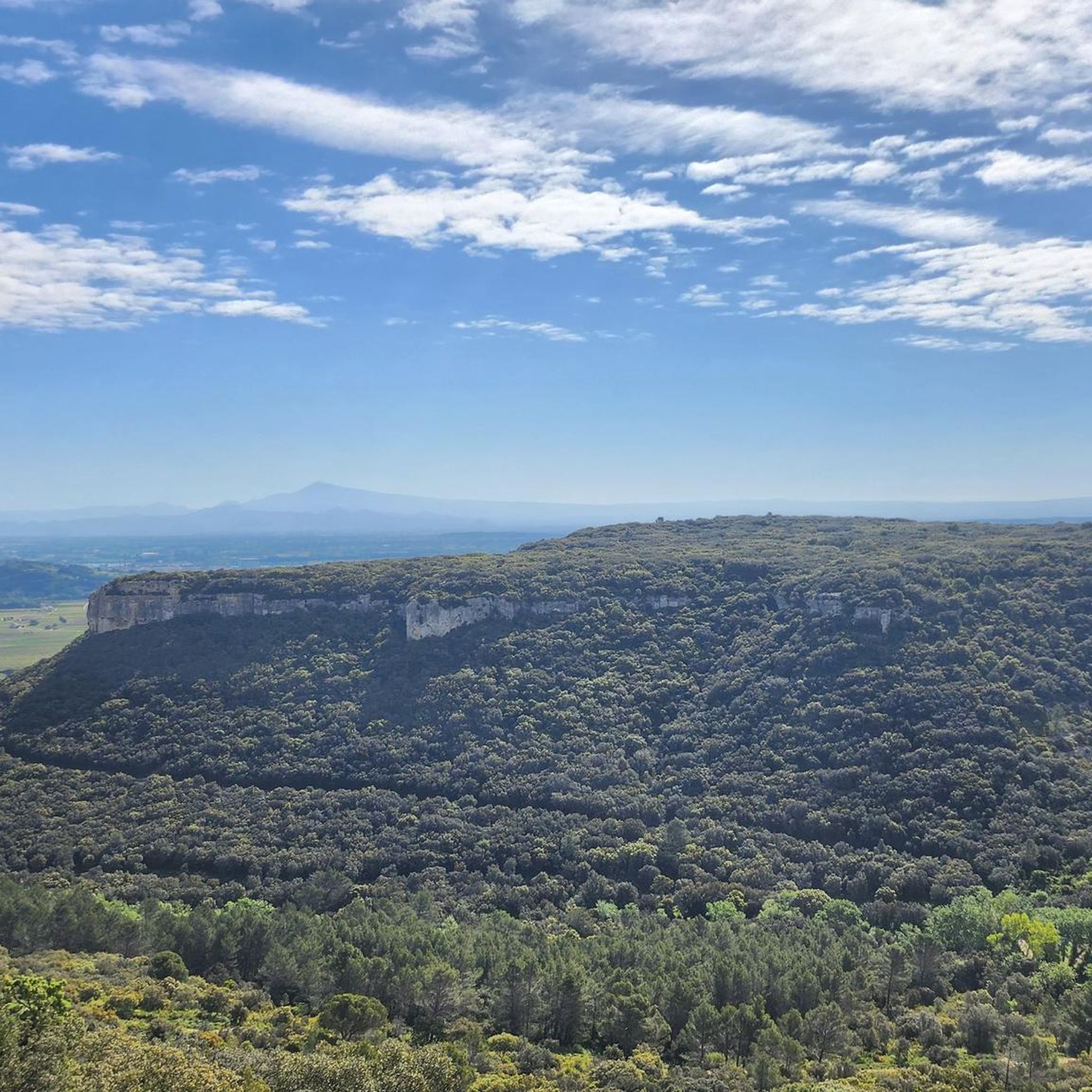
Touring cycling routes around Saint-Paul-Les-Fonts traverse a landscape characterized by gentle reliefs, open plains, and green oak trees. Elevations in the region range from 55 to 260 meters, providing varied terrain suitable for different cycling abilities. Routes often lead through thickets and fields, offering both shaded passages and panoramic views of the surrounding Gard department.
Best touring cycling routes around Saint-Paul-Les-Fonts
- The most popular touring cycling route is Saint-Quentin-la-Poterie – Caderousse loop from Gaujac, a 65.0 miles (104.7 km)…
Last updated: June 29, 2026
4.8
(24)
153
riders
105km
06:34
730m
730m
Hard bike ride. Very good fitness required. Mostly paved surfaces. Suitable for all skill levels.
4.8
(4)
106
riders
34.3km
03:16
660m
660m
Hard bike ride. Very good fitness required. You may need to push your bike for some segments of this route.

Sign up for free
5.0
(3)
49
riders
36.0km
03:12
510m
510m
Hard bike ride. Very good fitness required. Mostly paved surfaces. Suitable for all skill levels.
4.3
(3)
21
riders
47.4km
02:47
250m
250m
Moderate bike ride. Good fitness required. Mostly paved surfaces. Suitable for all skill levels.
26
riders
34.5km
03:00
510m
510m
Hard bike ride. Very good fitness required. You may need to push your bike for some segments of this route.
Get access to more routes and recommendations from other explorers.
Sign up for free
Already have an account?
Our route recommendations are based on thousands of hikes, rides, and runs completed by other people on komoot.
Start today with a free account
Your next adventure awaits.
Login or Signup

Tips from the Community

Leaving St Geniès de Comolas via the Grand Chemin de Pegueirol you also discover a beautiful view of Mont Ventoux with the beautiful feudal castle of Montfaucon in the foreground.
0
0
The chapel is worth it, especially if, like me, you ride up by gravel during the hottest hours of summer. But the work is finished and you can now enjoy a building in perfect condition (for a 12th-century chapel, everything is relative).
0
0


The Saint-Michel church in Caderousse is one of the rare examples of Provençal Flamboyant Gothic architecture. Built in Romanesque-Gothic style, it consists of a nave, four bays, and a semicircular Romanesque apse.
0
0

Chapel was under construction, returned later
0
0

"The Saint-Martin chapel probably occupies the site of an ancient pagan temple built along a Roman road: in fact, on one side, Saint-Martin is located along a road which once linked the road Nîmes-Alba with roads along the Rhône valley and, on the other, a Roman funerary stele used for reuse in the base of a pillar of the chapel attests to the pagan origin of the site2. The current chapel dates from the 11th and 12th centuries2,3: its construction began around 1050, in a place where the regional market was held4. This market having been transferred to Bagnols in 1223 on the orders of King Louis VIII4 (who also demolished the castle of the Count of Sabran which dominated the village), the chapel was abandoned by the markets and pilgrims and has not survived.
0
0

I agree with Jan, this is quite a dangerous bridge. I was worried my 700mm+ handlebars were too wide for the pavement so rode on the road. A macho driver drove past within centimeters at 80+KmH. On the return trip I used the pavement and it is actually ok for modern MTBs if you take it easy. Two older women were crossing with bikes but pushing them as they too were worried about riding on the pavement. Bottom line, use the pavement, either riding with care or pushing the bike if not that accomplished.
0
0
Frequently Asked Questions
How many touring cycling routes are available around Saint-Paul-Les-Fonts?
There are over 200 touring cycling routes in the Saint-Paul-Les-Fonts area, offering a wide variety of options for cyclists. These routes range from easy to difficult, ensuring there's something for every skill level.
What kind of terrain can I expect on touring cycling routes in Saint-Paul-Les-Fonts?
The terrain around Saint-Paul-Les-Fonts is characterized by gentle reliefs, open plains, and green oak trees. Routes often lead through thickets and fields, providing both shaded passages and panoramic views of the surrounding Gard department. Elevations typically range from 55 to 260 meters.
Are there any easy touring cycling routes suitable for beginners or families?
Yes, the region offers 28 easy touring cycling routes. While specific family-friendly routes aren't detailed here, the generally gentle relief and varied terrain mean many easy routes could be suitable. Always check the route details for specific suitability.
What are some challenging touring cycling routes in the area?
For those seeking a challenge, there are 74 difficult touring cycling routes. A notable difficult route is the Saint-Quentin-la-Poterie – Caderousse loop from Gaujac, which covers 65.0 miles (104.7 km) with significant elevation changes.
What historical landmarks or points of interest can I see along the cycling routes?
The region is rich in history. You can encounter sites like the Camp de César Archaeological Site. Further afield, the iconic Pont du Gard, a 2000-year-old Roman aqueduct, is approximately 18 km away and makes for an excellent cycling destination.
Are there any scenic viewpoints or natural features to discover while cycling?
Yes, the routes offer picturesque settings with green oak trees and open plains. You might also find routes that lead to a Panoramic View of the Rhône Valley Vineyards. The region's natural beauty extends to nearby sites like the Cascades du Sautadet and the Gorges de l'Ardèche, which are within a reasonable distance for day trips.
Is there a route that follows the Caderousse Dike?
Yes, the Caderousse – Caderousse Dike loop from Gaujac is a moderate 29.4-mile (47.4 km) path that follows the Caderousse Dike, offering open views of the surrounding landscape.
What do other touring cyclists enjoy most about cycling in Saint-Paul-Les-Fonts?
The area is highly rated by the komoot community, with an average score of 4.4 stars from over 500 reviews. Cyclists often praise the varied terrain, from gentle plains to routes through thickets, and the blend of shaded passages with panoramic views.
Are there any routes that explore the local countryside extensively?
For an extensive exploration of the local countryside, consider the Saint-Quentin-la-Poterie – Caderousse loop from Gaujac. This difficult 65.0-mile (104.7 km) route takes you through a wide area, showcasing the diverse landscapes of the region.
Can I find routes that pass by historical castles or chapels?
Yes, several routes may bring you close to historical structures. For instance, you could encounter the Château de Gicon or the Chapel of the Hermitage of Notre-Dame de Mayran. The village itself is home to the restored Romanesque Chapel of Saint-André de Sévanes.
Are there any routes that go through varied terrain, including forests or maquis?
Yes, routes like the Chemin de Vignes Rocheux – In the maquis loop from Gaujac offer a moderate 33.8-mile (54.4 km) experience through diverse landscapes, including sections of maquis.
Is the ViaRhôna Cycle Route accessible from Saint-Paul-Les-Fonts?
While not directly in Saint-Paul-Les-Fonts, the region is near a segment of the ViaRhôna Cycle Route, an extensive path running from the Swiss-French border to the Mediterranean. This major cycling route provides an excellent opportunity for longer touring rides, often featuring paved surfaces suitable for road cycling.
What is a good route for exploring the area around Tresques?
The La Chapelle Saint-Martin loop from Tresques is a popular 21.4-mile (34.5 km) trail that leads through varied terrain and is often completed in about 3 hours.
Most popular routes around Saint-Paul-Les-Fonts
Most popular attractions around Saint-Paul-Les-Fonts

Get inspired with the komoot mobile app


Explore more
Browse the best Cycling routes in other regions.
