The best running trails around La Ferté-Hauterive
4.0
(5)
556
runners
69
runs
Jogging around La Ferté-Hauterive, located in the Allier department of central France, offers routes through a rural landscape. The area is characterized by the Val d'Allier Nature Reserve, the Moladier forest, and the open plains of Barberier. Terrain is generally flat with slight elevation changes, ranging from 214 to 239 meters above sea level, providing accessible running conditions. The region's bocage landscapes offer a mix of open spaces and sheltered paths.
Best jogging routes around La Ferté-Hauterive
- The most popular…
Last updated: July 3, 2026
7
runners
21.7km
02:23
260m
260m
Hard run. Very good fitness required. Mostly paved surfaces. Suitable for all skill levels.
4
runners
5.10km
00:32
70m
70m
Moderate run. Good fitness required. Mostly paved surfaces. Suitable for all skill levels.

Sign up for free
4
runners
8.34km
00:52
60m
60m
Moderate run. Good fitness required. Mostly paved surfaces. Suitable for all skill levels.
4
runners
6.55km
00:41
50m
50m
Moderate run. Good fitness required. Mostly paved surfaces. Suitable for all skill levels.
4
runners
12.1km
01:19
80m
80m
Moderate run. Good fitness required. Mostly paved surfaces. Suitable for all skill levels.
Get access to more routes and recommendations from other explorers.
Sign up for free
Already have an account?
Our route recommendations are based on thousands of hikes, rides, and runs completed by other people on komoot.
Start today with a free account
Your next adventure awaits.
Login or Signup

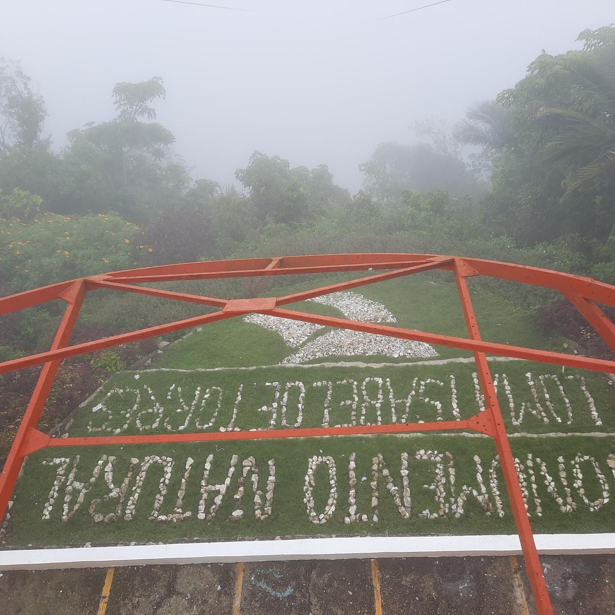

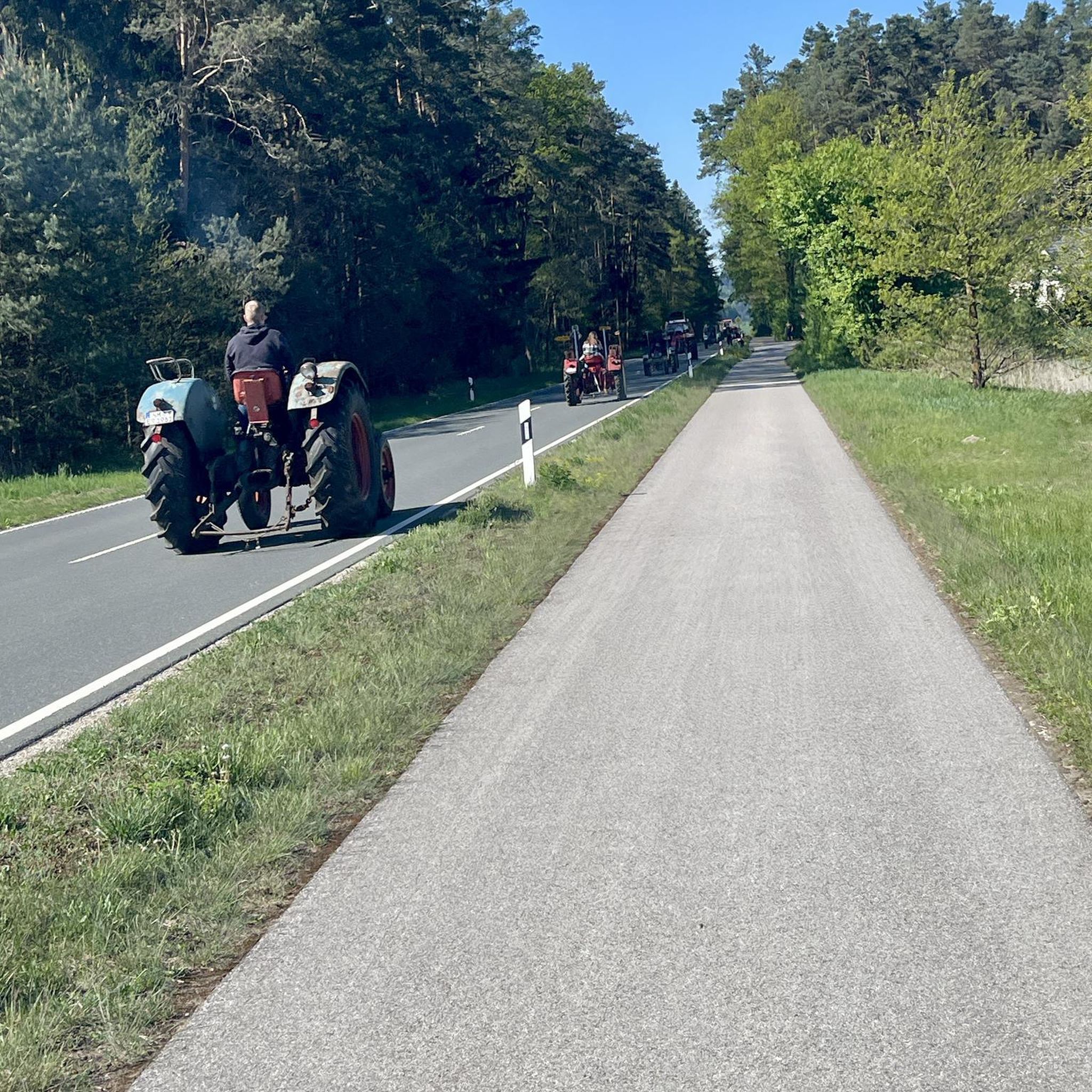
Tips from the Community

The Sainte-Croix Church has a magnificent wooden ceiling in the nave and colorfully painted Gothic columns!
4
0

Small wine town in the heart of Allier, on the banks of the Sioule, the wild tributary of the Allier. It is known for its famous vineyard, which has produced AOC labeled wines since 2009.
1
0
Frequently Asked Questions
How many running routes are available around La Ferté-Hauterive?
There are over 50 running routes available around La Ferté-Hauterive on komoot, offering a variety of distances and difficulty levels. The region's diverse landscape provides options for every runner.
What kind of terrain can I expect on the jogging trails in La Ferté-Hauterive?
The terrain around La Ferté-Hauterive is generally flat with only slight elevation changes, ranging from 214 to 239 meters above sea level. You'll find a mix of river floodplains, forested areas like the Forêt de Moladier, and open plains such as the Plaine de Barberier, characteristic of the region's bocage landscapes.
Are the running routes in La Ferté-Hauterive suitable for beginners?
Yes, La Ferté-Hauterive offers several easy jogging routes perfect for beginners. The generally flat terrain and accessible paths make it a welcoming area for those new to running or looking for a relaxed pace. There are 3 easy routes available on komoot.
Are there any challenging running trails for experienced runners?
Absolutely. For experienced runners seeking a challenge, there are 3 difficult routes available. One notable option is the Saint-Pourçain-sur-Sioule loop from Contigny, which covers 21.7 km with significant elevation changes, offering a demanding experience through the local countryside.
What natural features or landmarks can I see while jogging in the area?
While jogging, you can experience the natural beauty of the Val d'Allier Nature Reserve, run through the peaceful Moladier Forest along the Via Allier, or explore the open Plaine de Barberier. You might also pass by historical sites such as the Fourchaud Castle or the Saint Lawrence Church.
Are there any circular running routes in La Ferté-Hauterive?
Yes, many of the running routes in La Ferté-Hauterive are circular, allowing you to start and finish at the same point. For example, the Château du Moulin Neuf loop from Châtel-de-Neuvre is a moderate 5.1 km circular path offering scenic views.
What do other runners enjoy the most about jogging in La Ferté-Hauterive?
The running routes in La Ferté-Hauterive are highly rated by the komoot community, with an average score of 3.75 stars from over 4 reviews. Runners often praise the varied terrain, from river floodplains to forested areas, and the peaceful, rural atmosphere that makes for an enjoyable experience.
Are there any family-friendly jogging routes in the region?
Given the generally flat topography and the presence of easy routes, many trails around La Ferté-Hauterive are suitable for families. The rural countryside and bocage landscapes provide a safe and pleasant environment for a family run or walk.
Is there parking available near the running trails?
While specific parking locations for each trail are not detailed, as a rural area, La Ferté-Hauterive and its surrounding villages typically offer public parking options in town centers or near trailheads. It's advisable to check local signage upon arrival.
Can I reach the running routes using public transport?
Public transport options directly to specific trailheads might be limited in this rural area. However, La Ferté-Hauterive is connected by local bus services to surrounding villages. For detailed information on bus routes and schedules, it's best to consult local transport authorities.
What is a good moderate running route to try?
A great moderate option is the Running loop from Bessay-sur-Allier. This 8.3 km trail takes you through the plains and near the Allier river, typically completed in about 52 minutes, offering a balanced workout with pleasant scenery.
Are there any running routes that pass by a castle?
Yes, the Château de Chaugy loop from Bessay-sur-Allier is a moderate 12.1 km route that will take you past the Château de Chaugy, allowing you to enjoy both your run and a glimpse of local heritage.
Most popular attractions around La Ferté-Hauterive

Get inspired with the komoot mobile app


Explore more
Browse the best Running Trails & Routes in other regions.
