The best walks and hikes around Saint-Laurent-De-Carnols
4.4
(1370)
6,765
hikers
273
hikes
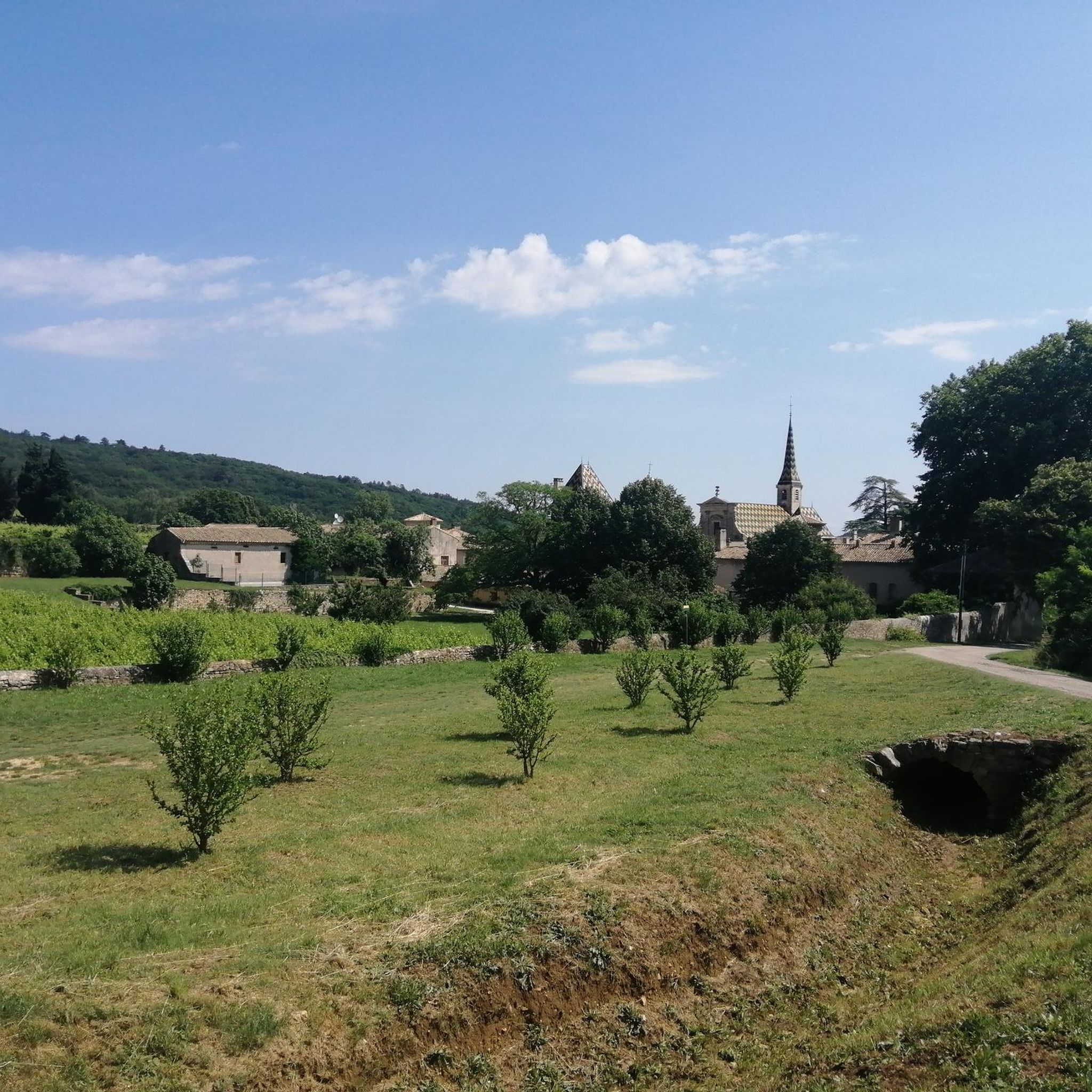
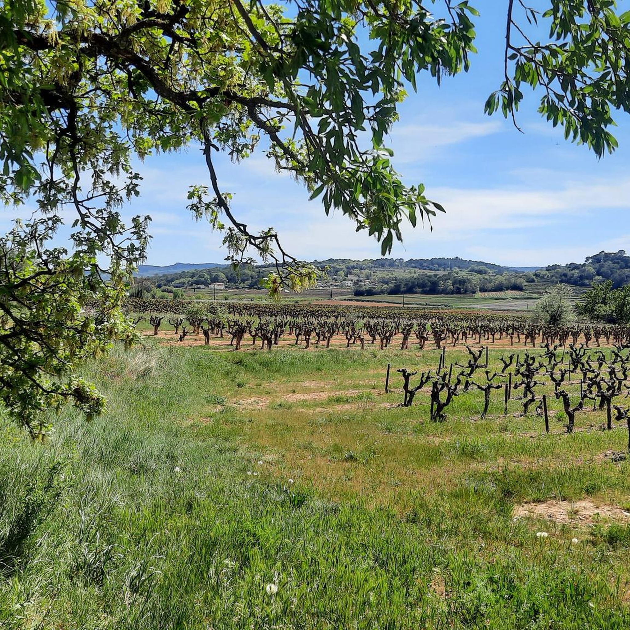
Hiking around Saint-Laurent-De-Carnols offers a variety of trails through the region's landscape. The area features rolling hills, wooded sections, and river valleys, providing diverse environments for outdoor activity. Trails often follow the contours of the land, with some routes offering views of local landmarks and natural features. The terrain is generally accessible, with options ranging from gentle paths to more challenging ascents.
Best hiking trails around Saint-Laurent-De-Carnols
- The most popular hiking route is View of La Roque-sur-Cèze – The Sautadet…
Last updated: May 12, 2026
4.5
(106)
346
hikers
Moderate hike. Good fitness required. Easily-accessible paths. Suitable for all skill levels.
4.7
(17)
94
hikers
Moderate hike. Good fitness required. Easily-accessible paths. Suitable for all skill levels.

Sign up for free
4.3
(10)
43
hikers
11.2km
03:12
240m
240m
Moderate hike. Good fitness required. Easily-accessible paths. Suitable for all skill levels.
3.9
(8)
51
hikers
3.27km
00:56
80m
70m
Easy hike. Great for any fitness level. Easily-accessible paths. Suitable for all skill levels.
3.0
(1)
20
hikers
5.84km
01:37
100m
100m
Easy hike. Great for any fitness level. Easily-accessible paths. Suitable for all skill levels.
Get access to more routes and recommendations from other explorers.
Sign up for free
Already have an account?
Our route recommendations are based on thousands of hikes, rides, and runs completed by other people on komoot.
Start today with a free account
Your next adventure awaits.
Login or Signup
Tips from the Community

A functioning traffic light system allows the use of the bridge by cars. If there are also pedestrians on the bridge, it gets tight.
0
0

Discovering the fauna and flora of the garrigue
0
0

Built to carry the road linking Uzès to Pont-Saint-Esprit, the main gateway of the former bishopric to the Rhône Valley, it boasts an exceptional length of 155 meters. The bridge is built directly onto the bedrock. To withstand the onslaught of the Cèze River's floods, this structure, with its 12 semicircular arches, is equipped with robust cutwaters at the front and rear of the piers. This strength was severely tested during the once-in-a-century flood of 2002, which partially submerged it. It was restored in 2014.
0
0
The castle and its chapel were built in the 12th century for defensive purposes. The viewpoint at the foot of the chapel offers a magnificent view over the Cèze valley. Private property, the castle and chapel are not open to the public.
0
0

A nice restaurant, very good Mas du Belier in La Roque-sur-Céze.
0
0

beautiful little place, invites you to take a walk
0
0

La Roque-sur-Cèze is a rural commune with a population of 174 in 2022, having peaked at 369 in 1806. It is part of the Bagnols-sur-Cèze catchment area. Its inhabitants are called Roquairols or Roquairoles. The commune's architectural heritage includes two buildings protected as historic monuments: the funerary cippus, listed in 1912, and the Charles-Martel Bridge over the Cèze, listed in 1980.
0
0
Very pretty bucolic bridge over the Cèze.
0
0
Frequently Asked Questions
How many hiking trails are available around Saint-Laurent-De-Carnols?
There are over 270 hiking routes in the Saint-Laurent-De-Carnols area, catering to various skill levels. This includes approximately 120 easy trails, 130 moderate routes, and 20 more challenging hikes.
Are there any family-friendly hiking options in Saint-Laurent-De-Carnols?
Yes, Saint-Laurent-De-Carnols offers many family-friendly routes. For an easy and relatively short walk, consider the Valbonne Charterhouse loop from Chartreuse de Valbonne, which is 3.3 km long and takes just over an hour. This trail leads through pleasant wooded areas suitable for families.
Can I find circular walks around Saint-Laurent-De-Carnols?
Many of the trails in the region are circular, allowing you to start and end at the same point. An example is the View of La Roque-sur-Cèze – La Roque-sur-Cèze loop from La Roque-sur-Cèze, an easy 5.8 km route that offers scenic views.
Are there any hikes that feature waterfalls in the Saint-Laurent-De-Carnols area?
Absolutely! The region is known for the stunning Sautadet Waterfalls. You can experience them on routes like the View of La Roque-sur-Cèze – The Sautadet Waterfalls loop from Saint-Michel-d'Euzet, a moderate 8.3 km hike that offers excellent views of this natural wonder.
What kind of natural landscapes can I expect to see while hiking here?
The hiking trails around Saint-Laurent-De-Carnols traverse diverse landscapes, including rolling hills, dense wooded sections, and picturesque river valleys. You'll find paths that follow the natural contours of the land, often providing scenic views of the surrounding countryside.
Are there any historical or cultural landmarks to explore on the trails?
Yes, the area is rich in history. You can hike past the historic Charterhouse of Valbonne, a significant religious site. The Idyllic location – Valbonne Charterhouse loop from Chartreuse de Valbonne is a moderate 11.2 km trail that takes you directly through this area.
What do other hikers say about the trails in Saint-Laurent-De-Carnols?
The trails in Saint-Laurent-De-Carnols are highly regarded by the komoot community, with an average rating of 4.5 stars from over 1,300 reviews. Hikers frequently praise the varied terrain, the well-maintained paths, and the beautiful natural scenery, especially the river valleys and wooded areas.
Are there any easy routes suitable for beginners?
Yes, there are over 120 easy routes perfect for beginners or those looking for a relaxed walk. The View of La Roque-sur-Cèze – La Roque-sur-Cèze loop from La Roque-sur-Cèze is an easy 5.8 km trail that offers a gentle introduction to the region's beauty.
What are some notable villages or towns to visit near the hiking routes?
The charming village of La Roque-sur-Cèze, known for its medieval character and proximity to the Sautadet Waterfalls, is a popular destination. Another picturesque settlement nearby is Aiguèze, often considered one of France's most beautiful villages.
Are there any castles or ancient structures to discover while hiking?
Yes, the region boasts several historical structures. Beyond the Charterhouse of Valbonne, you can find castles like Bosquet Castle and Château de Cornillon, which add a historical dimension to your outdoor adventures.
What is the typical duration for a moderate hike in this area?
Moderate hikes in Saint-Laurent-De-Carnols can vary in length and duration. For example, the View of La Roque-sur-Cèze – The Sautadet Waterfalls loop from La Roque-sur-Cèze is a moderate 7.5 km trail that typically takes around 2 hours to complete, depending on your pace.
Most popular routes around Saint-Laurent-De-Carnols
Most popular attractions around Saint-Laurent-De-Carnols

Get inspired with the komoot mobile app


Explore more
Browse the best Hikes in other regions.
