The best walks and hikes around Galfingen
4.6
(821)
4,897
hikers
11
hikes
Hiking around Galfingen offers a network of trails through varied terrain. The region is characterized by woodlands, gentle hills, and open fields, providing diverse environments for outdoor activities. These landscapes support a range of hiking experiences, from short walks to longer excursions. The area's topography generally features moderate elevation changes, making it accessible for different fitness levels.
Best hiking trails around Galfingen
- The most popular hiking route is Luemschwiller loop from Illfurth, a 6.1 miles (9.8 km) trail that…
Last updated: August 28, 2026
4.7
(3)
12
hikers
9.87km
02:36
90m
80m
Moderate hike. Good fitness required. Easily-accessible paths. Suitable for all skill levels.
6
hikers
11.2km
02:57
90m
90m
Moderate hike. Good fitness required. Easily-accessible paths. Suitable for all skill levels.

Sign up for free
4.0
(1)
8
hikers
11.1km
02:51
50m
50m
Moderate hike. Good fitness required. Easily-accessible paths. Suitable for all skill levels.
3
hikers
7.07km
01:52
60m
60m
Easy hike. Great for any fitness level. Easily-accessible paths. Suitable for all skill levels.
3
hikers
5.12km
01:20
40m
40m
Easy hike. Great for any fitness level. Easily-accessible paths. Suitable for all skill levels.
Get access to more routes and recommendations from other explorers.
Sign up for free
Already have an account?
Our route recommendations are based on thousands of hikes, rides, and runs completed by other people on komoot.
Start today with a free account
Your next adventure awaits.
Login or Signup


Tips from the Community

A beautiful fishing pond in the middle of the forest
0
0

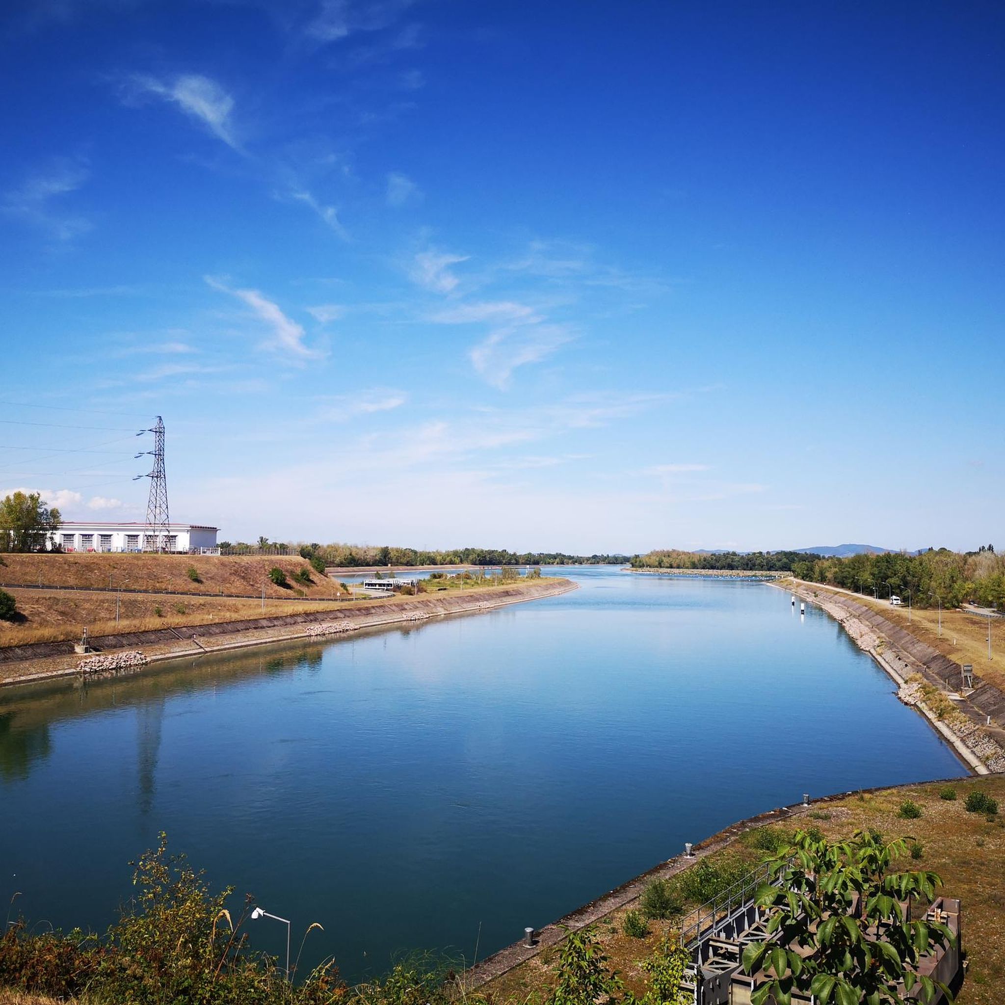
The Riedweiher pond is a charming little body of water where you can find a bit of nature near Mulhouse, without having to go to the slopes of Sundgau or Vosges.
0
0
Frequently Asked Questions
How many hiking trails are available around Galfingen?
There are over 360 hiking routes in the Galfingen region, offering a wide variety of options for different skill levels and preferences. This includes 192 easy routes, 161 moderate routes, and 8 more challenging trails.
Are there any easy hikes suitable for beginners in Galfingen?
Yes, Galfingen offers numerous easy hikes perfect for beginners. For example, the Bunker – 5 bunkers loop from Burnhaupt-le-Bas is a short 1.7-mile (2.7 km) trail through woodlands, ideal for a gentle walk. Another great option is the Heidwiller lock – ecluse loop from Illfurth, which is 3.1 miles (5.0 km) and relatively flat.
What kind of terrain can I expect on hikes around Galfingen?
The hiking trails around Galfingen are characterized by varied terrain, including woodlands, gentle hills, and open fields. The region's topography generally features moderate elevation changes, making it accessible for different fitness levels while still offering diverse scenery.
Are there any circular hiking routes in Galfingen?
Many of the trails in Galfingen are circular, allowing you to start and end at the same point. A popular example is the Luemschwiller loop from Illfurth, which is 6.1 miles (9.8 km) long. Another well-liked option is the Notre-Dame du Mont loop from Ammertzwiller, covering 5.9 miles (9.5 km).
What are some interesting landmarks or attractions I can see near the hiking trails?
The Galfingen area is rich in points of interest. You can explore natural monuments like Michelbach Lake or the ancient The Great Oak. For historical insights, consider visiting the Port of Dannemarie or the Grand Cannon of Zillisheim.
What do other hikers enjoy most about the trails in Galfingen?
The trails in Galfingen are highly rated by the komoot community, with an average score of 4.5 stars from over 700 reviews. Hikers often praise the varied scenery, the well-maintained paths, and the peaceful atmosphere found within the woodlands and open fields.
Are there any long-distance hiking options around Galfingen?
While many routes are suitable for day trips, you can find longer excursions. For instance, the Luemschwiller – Ancient Jewish Cemetery loop from Illfurth is a moderate 7.9-mile (12.7 km) hike that takes approximately 3 hours 35 minutes, offering a more extended experience.
What is the best time of year to go hiking in Galfingen?
Galfingen offers pleasant hiking conditions throughout much of the year. Spring and autumn provide mild temperatures and beautiful scenery with blooming flowers or vibrant fall foliage. Summer is also popular, though it can be warmer. Winter hiking is possible, but conditions may vary, with potential for snow or ice on trails.
Are there any trails that pass by water features like lakes or springs?
Yes, the region has several natural water features. You can find trails that lead to or pass by springs such as Ziehlbrunnen Spring or Kehlenbrunnen Spring. Michelbach Lake is also a notable natural attraction in the area.
Are the hiking trails in Galfingen suitable for families with children?
Many of the easy and moderate trails in Galfingen are suitable for families. The gentle hills and well-defined paths make for enjoyable walks with children. Shorter loop trails, like the Bunker – 5 bunkers loop from Burnhaupt-le-Bas, are particularly good for younger hikers.
Is parking available at the trailheads in Galfingen?
Parking availability varies by trailhead. Many popular starting points for hikes, especially those near villages like Illfurth or Burnhaupt-le-Bas, typically offer designated parking areas. It's advisable to check the specific route details on komoot for information on parking at your chosen trailhead.
Can I bring my dog on the hiking trails in Galfingen?
Generally, dogs are welcome on most hiking trails in Galfingen, provided they are kept on a leash and owners clean up after them. The varied terrain and woodlands offer a great environment for walks with your canine companion. Always check local signage for any specific restrictions in certain areas.
Most popular routes around Galfingen
Most popular attractions around Galfingen

Get inspired with the komoot mobile app


Explore more
Browse the best Hikes in other regions.
