The best road cycling routes around Schlierbach
4.5
(396)
7,885
riders
293
rides
Road cycling routes around Schlierbach are characterized by rolling agricultural landscapes and a network of roads connecting charming villages. The terrain typically features moderate elevation changes, suitable for varied road cycling experiences. Routes often traverse open countryside, offering views of the surrounding rural environment. The region provides a mix of well-maintained roads for cyclists.
Best road cycling routes around Schlierbach
- The most popular road cycling route is Knoeringe > Jettingen – Drinking Water Fountain loop from Sierentz, a 33.6 miles…
Last updated: July 8, 2026
5.0
(3)
90
riders
Moderate road ride. Good fitness required. Mostly well-paved surfaces and easy to ride.
4.9
(15)
68
riders
49.9km
02:09
380m
380m
Moderate road ride. Good fitness required. Mostly well-paved surfaces and easy to ride.

Sign up for free
5.0
(2)
77
riders
47.9km
02:05
320m
320m
Moderate road ride. Good fitness required. Mostly well-paved surfaces and easy to ride.
23
riders
58.1km
02:15
80m
80m
Moderate road ride. Good fitness required. Some segments of this route may be unpaved and difficult to ride.
4.0
(1)
33
riders
28.3km
01:14
70m
70m
Easy road ride. Great for any fitness level. Mostly well-paved surfaces and easy to ride.
Get access to more routes and recommendations from other explorers.
Sign up for free
Already have an account?
Our route recommendations are based on thousands of hikes, rides, and runs completed by other people on komoot.
Start today with a free account
Your next adventure awaits.
Login or Signup
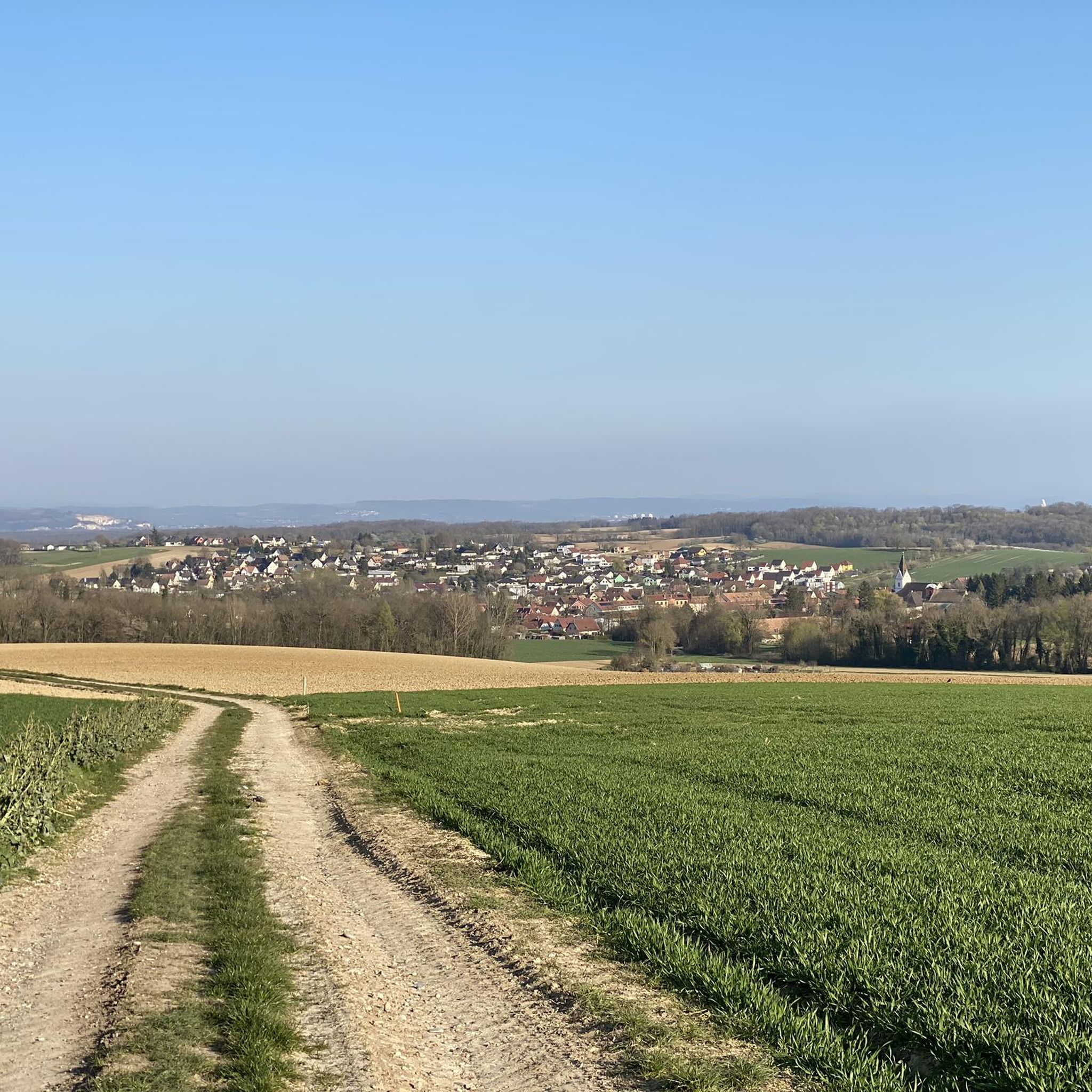
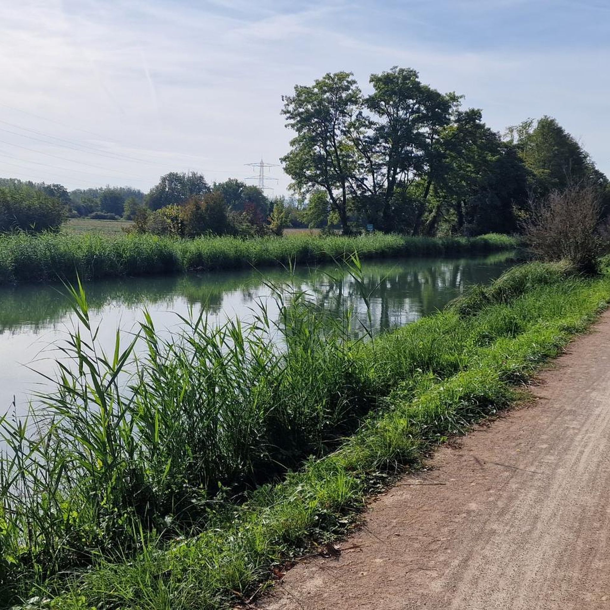
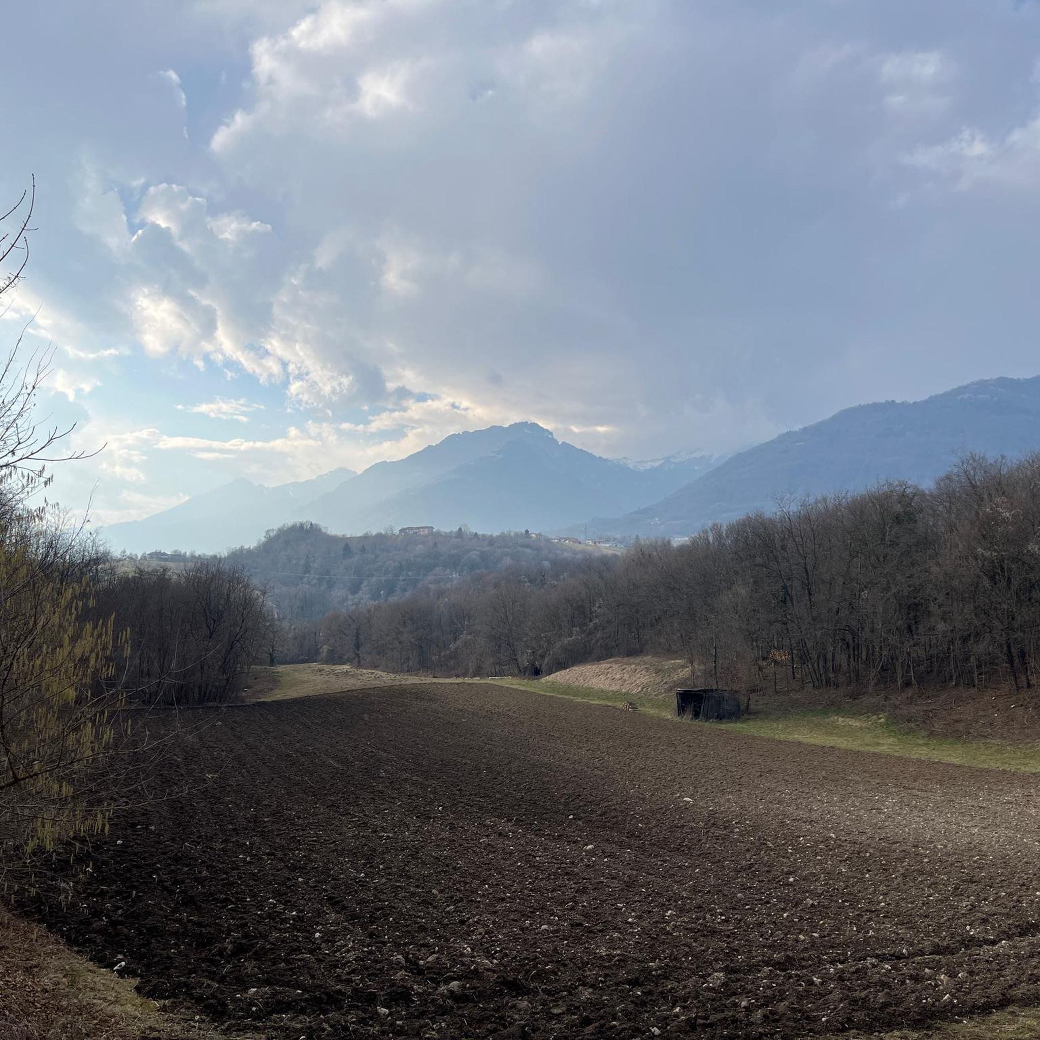
Tips from the Community


A sign has now been posted: "No drinking water."
0
0

Nice town near the German-French border
1
0

very nice cycle path to Mulhouse without road proximity (no noise) pure nature
0
0

The Rhine-Rhone Canal between Sochaux and Mulhouse is an excellent very well kept cycleway with incredibly smooth asphalted surface. Picknick tables as well as numerous small charming cafés and bars line the cycleway.
0
0

An impressive architecture. A wonderful place of peace and reflection.
1
0

Built in 1030 by Rudolf von Altenburg, the abbey church is the oldest building in Alsace that has been preserved in its original state. Admire its Romanesque style as well as its two Gothic chapels.
1
0

If you drive away from the large, ugly national roads with poor surfaces, Alsace, especially on the east side of the Vosges, is a beautiful racing bike area.
0
0
Frequently Asked Questions
How many road cycling routes are available around Schlierbach?
There are over 300 road cycling routes around Schlierbach. These include a diverse range of options, with approximately 60 easy routes, nearly 200 moderate routes, and around 60 difficult routes, catering to various skill levels.
What kind of terrain can I expect on road cycling routes in Schlierbach?
Road cycling routes around Schlierbach are characterized by rolling agricultural landscapes and a network of roads connecting charming villages. The terrain typically features moderate elevation changes, offering views of the surrounding rural environment and river valleys.
Are there road cycling routes suitable for beginners in Schlierbach?
Yes, Schlierbach offers approximately 60 easy road cycling routes. These trails are generally suitable for beginners, featuring manageable distances and elevation changes. An example is the It's gravel, but easy to ride loop from Sierentz, which has minimal elevation gain.
What is the typical duration and distance of road cycling routes in this region?
Routes vary in length and duration. Many popular routes, such as the Knoeringe > Jettingen – Drinking Water Fountain loop from Sierentz, are around 30-34 miles (48-55 km) and can be completed in about 2 hours to 2 hours 30 minutes. There are also shorter and longer options available.
What do other road cyclists enjoy most about cycling in Schlierbach?
The area is highly rated by the komoot community, with an average score of 4.4 stars from over 300 reviews. Cyclists often praise the well-maintained roads, the charming village centers, and the scenic agricultural landscapes that define the region.
Are there any circular road cycling routes around Schlierbach?
Yes, many of the road cycling routes in Schlierbach are designed as loops, allowing you to start and end at the same point. Examples include the Pretty village center 🏘 – Knoeringe > Jettingen loop from Sierentz and the Riverside open-air tavern – Wittersdorf loop from Sierentz.
What are some scenic attractions or landmarks I can see along the road cycling routes?
You can encounter various scenic spots and landmarks. Routes often pass through charming villages or along river valleys. Notable natural attractions nearby include the Istein Rapids and the Isteiner Klotz and the Cliff Chapel. You might also find viewpoints like the View of the Rhine Between Istein and Kleinkems.
Are there any routes that are particularly family-friendly for road cycling?
While specific 'family-friendly' designations for road cycling can vary, routes with lower elevation gain and less traffic are generally preferred. The region's rolling agricultural landscapes offer many quieter roads. Consider routes with moderate difficulty and shorter distances, or those that pass through villages where stops can be made.
When is the best season for road cycling in Schlierbach?
The best seasons for road cycling in Schlierbach are typically spring, summer, and early autumn. During these months, the weather is generally mild, and the agricultural landscapes are vibrant. Summer offers longer daylight hours, while spring and autumn provide pleasant temperatures and beautiful scenery.
Are there any routes that avoid cars or have dedicated cycling paths?
While most road cycling routes utilize public roads, some may feature sections with less traffic or dedicated paths. For example, the Car-free – Burrus Castle loop from Niffer is specifically highlighted for being car-free, offering a more relaxed experience.
Can I find places to eat or drink along the road cycling routes?
Yes, many routes connect charming villages where you can find cafes, restaurants, or local taverns. For instance, the Riverside open-air tavern – Wittersdorf loop from Sierentz specifically mentions passing an open-air tavern, providing a convenient stop for refreshments.
Where can I park my car when starting a road cycling route in Schlierbach?
Parking availability often depends on the specific starting point of your chosen route. Many routes begin in or near villages like Sierentz or Niffer, where public parking options may be available. It's advisable to check the route details on komoot for specific parking recommendations for your chosen tour.
Most popular routes around Schlierbach
Most popular attractions around Schlierbach

Get inspired with the komoot mobile app


Explore more
Browse the best Road cycling routes in other regions.
