The best walks and hikes around Lanuéjols
4.6
(812)
4,740
hikers
203
hikes
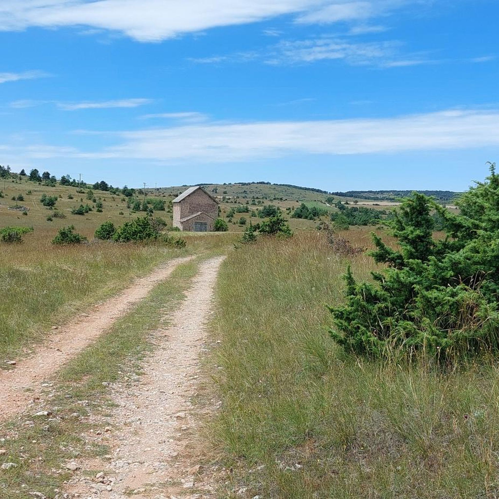
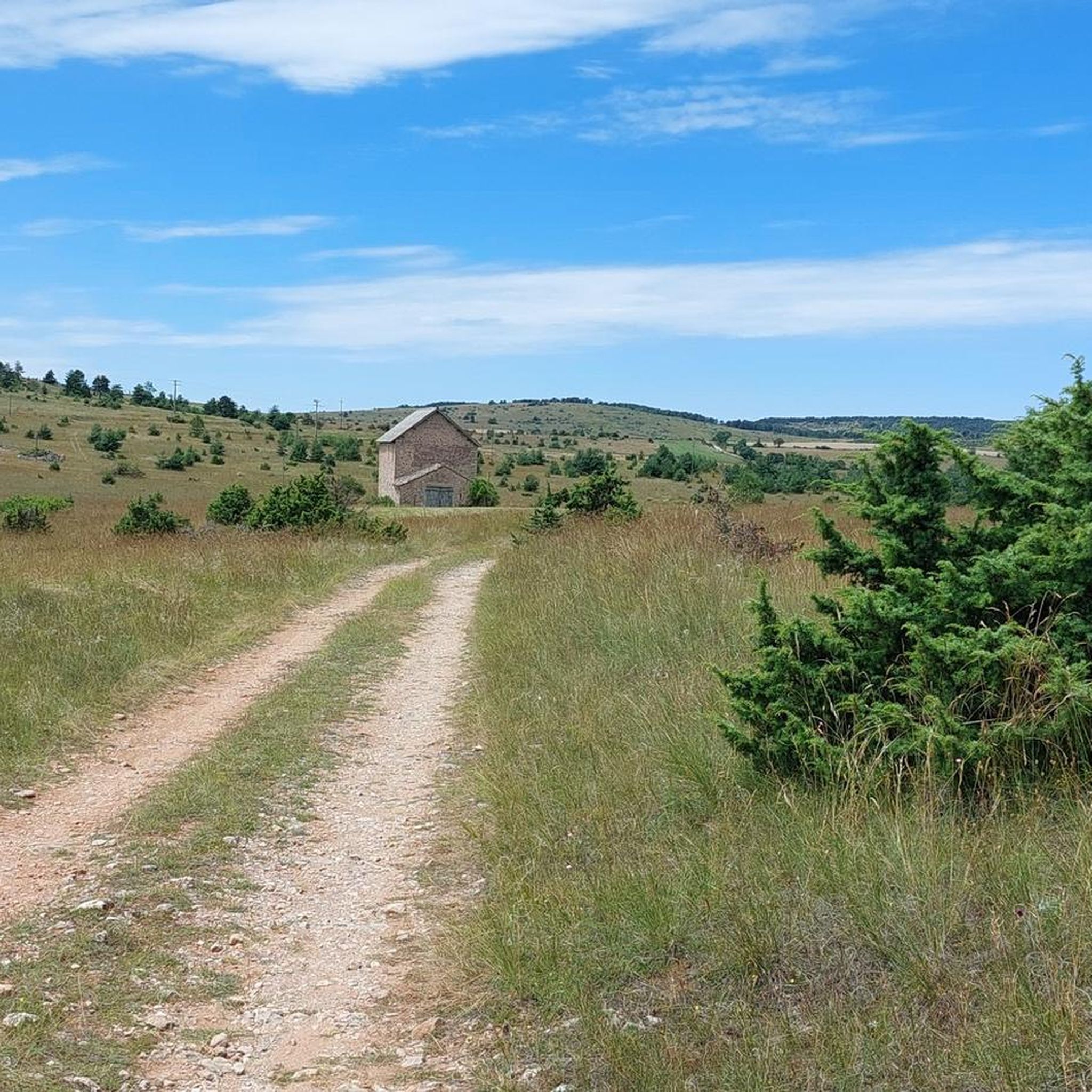
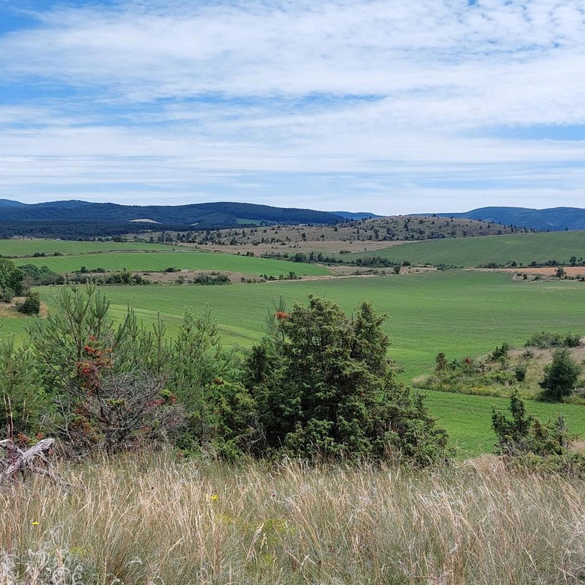
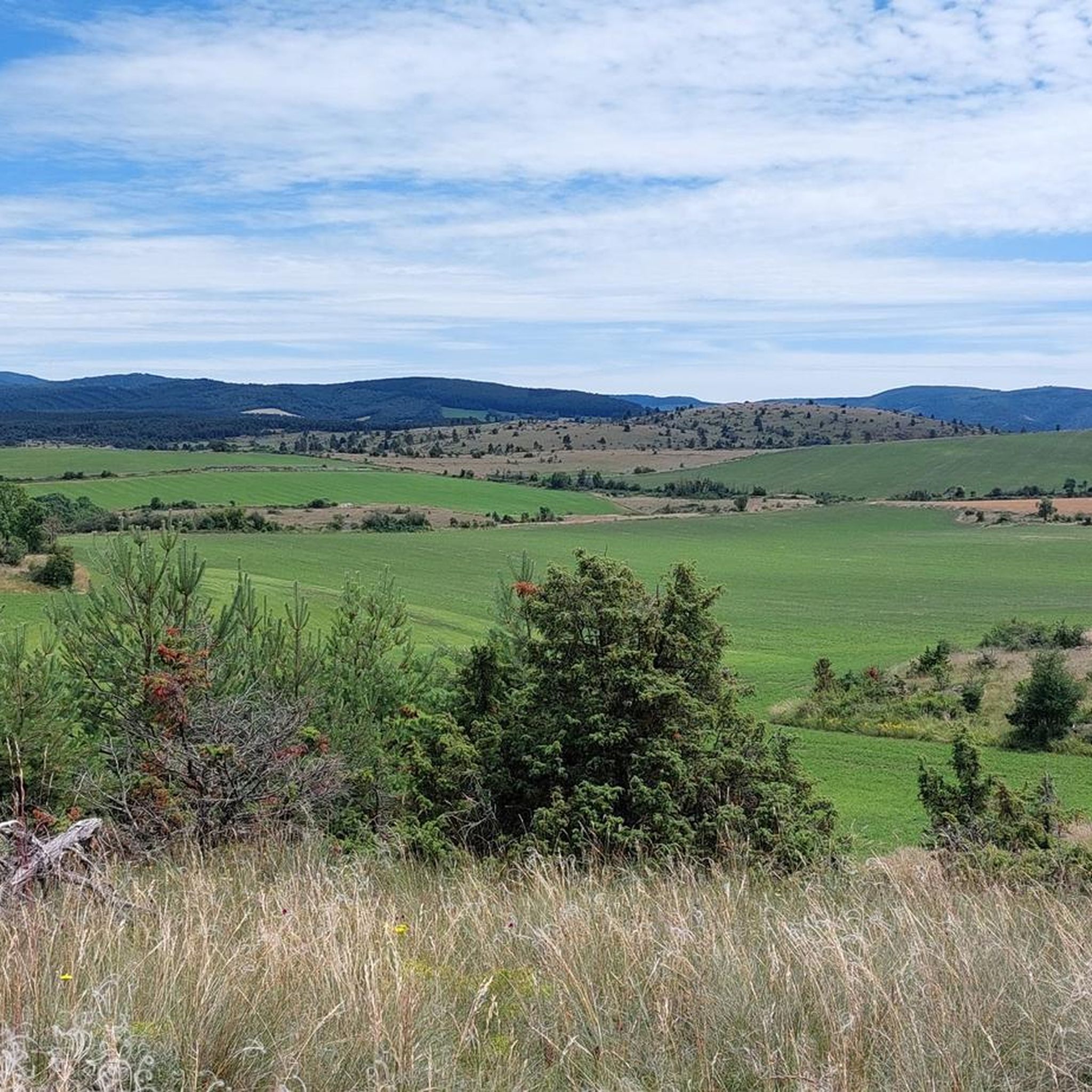
Hiking around Lanuéjols offers diverse experiences across a varied landscape in the south of France. The region is characterized by the distinctive limestone plateau of the Causse Noir, providing open, rocky terrains and expansive views. Deep river gorges, carved by rivers such as the Jonte, Tarn, Trévezel, and Dourbie, create dramatic valleys and canyons. Extensive forested areas, including the communal woods of Devois and Rey, offer shaded trails and opportunities for wildlife observation. With altitudes ranging from 614 meters to 1,187 meters, Lanuéjols presents a varied topography suitable for different hiking abilities.
Best hiking trails in Lanuéjols
- The most popular hiking route is Canayère Loop Trail, a 4.3 miles (6.9 km) trail that takes 2 hours 49 minutes to complete. This moderate route explores parts of the Cévennes National Park.
- Another top favourite among local hikers is Michelin lc57 – Roquedols Castle loop from Villemagne, a difficult 12.5 miles (20.1 km) path. This route traverses varied landscapes, including forests and open plateaus, offering panoramic views.
- Local hikers also love the Lanuéjols – Lanuéjols loop from Pataugeoire enfants, a 5.2 miles (8.3 km) trail leading through local village surroundings, often completed in about 2 hours 13 minutes.
- Hiking around Lanuéjols is defined by limestone plateaus, deep river gorges, and dense forests. The network of routes offers options for various ability levels, from gentle walks to more challenging ascents.
- The routes in Lanuéjols are highly rated by the komoot community with an average score of 4.6 stars from over 700 reviews. More than 4000 hikers have used komoot to explore Lanuéjols's varied terrain.
Last updated: July 8, 2026
4.7
(3)
9
hikers
6.94km
02:50
390m
390m
Hike the moderate Canayère Loop Trail for 4.3 miles (6.9 km) with 1295 feet (395 metres) of elevation gain in Cévennes National Park.
4.9
(7)
47
hikers
20.1km
06:04
680m
680m
Hard hike. Very good fitness required. Easily-accessible paths. Suitable for all skill levels.

Sign up for free
4.5
(6)
22
hikers
8.32km
02:13
90m
90m
Moderate hike. Good fitness required. Easily-accessible paths. Suitable for all skill levels.
4.5
(6)
21
hikers
8.21km
02:11
90m
90m
Moderate hike. Good fitness required. Easily-accessible paths. Suitable for all skill levels.
5.0
(3)
15
hikers
12.9km
04:21
520m
520m
Moderate hike. Good fitness required. Mostly accessible paths. Sure-footedness required.
Get access to more routes and recommendations from other explorers.
Sign up for free
Already have an account?
Our route recommendations are based on thousands of hikes, rides, and runs completed by other people on komoot.
Start today with a free account
Your next adventure awaits.
Login or Signup

Tips from the Community

Very strenuous, lots of climbing and up and down - slippery when wet
0
0
At the end of the tour a swim in the river is great
0
0


Cave occupied since prehistoric times but fortified in the Middle Ages to serve as a refuge for the surrounding populations.
1
0

Nice lookout point with stone bridge. And water. You also loot to the village again. Path where you can also take a walk with donkeys.
0
0
Great expansive rustic campsite. Without artificial light at night with a starry sky that you will not find anywhere else in France. Walks along a walking path so you can enjoy the area well. On the property old ruins used for their buildings. A lovely place.
2
0
Frequently Asked Questions
How many hiking trails are available around Lanuéjols, and what are their difficulty levels?
Lanuéjols offers a wide range of hiking experiences with over 190 trails. Approximately 50 are considered easy, over 110 are moderate, and around 20 are difficult, ensuring options for all skill levels. The varied terrain, from the limestone plateaus of the Causse Noir to deep river gorges and dense forests, provides diverse challenges and scenic changes.
Are there family-friendly hiking options suitable for children in Lanuéjols?
Yes, Lanuéjols has numerous easy and moderate trails perfect for families. These routes often traverse less challenging terrain, such as the communal woods, offering shaded paths and opportunities to explore nature. One moderate option that explores local village surroundings is the Lanuéjols – Lanuéjols loop from Pataugeoire enfants, which is about 5.2 miles (8.3 km) long.
Can I bring my dog on hikes around Lanuéjols?
Generally, dogs are welcome on many hiking trails in the Lanuéjols region. However, given the presence of wildlife, including a fragile population of red deer, it's advisable to keep dogs on a leash, especially in forested areas like the communal woods of Devois and Rey. Always check specific trail regulations, particularly within the Cévennes National Park, where rules might be stricter.
Are there any circular hiking routes in Lanuéjols?
Yes, many of the trails around Lanuéjols are designed as circular routes, allowing you to start and end at the same point. For example, the Canayère Loop Trail is a moderate 4.3-mile (6.9 km) route that explores parts of the Cévennes National Park, offering a complete loop experience.
What kind of natural landmarks or viewpoints can I expect to see while hiking?
The Lanuéjols region is rich in dramatic natural features and offers exceptional panoramic views. You can expect to see impressive river gorges carved by the Jonte, Tarn, Trévezel, and Dourbie rivers, as well as the expansive, rocky terrains of the Causse Noir. Notable viewpoints include The Prehistoric Mushroom and Vertigo Viewpoint. You might also encounter unique rock formations like Vase de Sèvres and Vase de Chine or Arcs de Saint-Pierre.
What is the best time of year to go hiking in Lanuéjols?
The varied terrain of Lanuéjols, with altitudes ranging from 614 to 1,187 meters, makes it suitable for hiking across multiple seasons. Spring and autumn generally offer pleasant temperatures and vibrant landscapes, with blooming flora or rich autumnal colors. Summer is also popular, especially for shaded forest trails, but higher altitudes can provide cooler air. Winter hiking is possible, but some higher or more exposed trails might require appropriate gear due to colder conditions.
Are there any historical sites or ancient structures to discover on the trails?
Yes, the Lanuéjols area is dotted with historical elements. Hikers can discover ancient megalithic structures such as menhirs and dolmens, which bear witness to the region's past settlement by Celtic peoples. Some trails also pass through agricultural hamlets with restored dovecotes, offering a glimpse into local heritage. The perched village of Cantobre is another fascinating historical highlight nearby.
What do other hikers enjoy most about hiking in Lanuéjols?
The hiking experiences in Lanuéjols are highly rated by the komoot community, with an average score of 4.6 stars from over 700 reviews. Hikers often praise the diverse and dramatic landscapes, from the open Causse Noir plateaus to the stunning river gorges and extensive forests. The variety of trails, catering to different difficulty levels, and the opportunities for panoramic views are frequently highlighted as key attractions.
Are there any challenging long-distance hikes available?
For those seeking a more challenging experience, Lanuéjols offers several difficult routes that traverse varied landscapes and cover longer distances. An example is the Michelin lc57 – Roquedols Castle loop from Villemagne, a difficult 12.5-mile (20.1 km) path that includes significant elevation changes and offers panoramic views across the region.
Is public transport available to reach hiking trailheads in Lanuéjols?
While Lanuéjols is a rural commune, public transport options might be limited directly to all trailheads. It's often recommended to have personal transportation to access the more remote starting points. However, some trails might be accessible from the village center. For detailed information on local transport, it's best to consult regional transport services or local tourist information.
Where can I find parking for hiking trails in Lanuéjols?
Parking is generally available at or near many popular trailheads and in the village of Lanuéjols itself. Specific parking information is often provided on individual route descriptions on komoot. When planning your hike, look for designated parking areas, especially for trails that start from smaller hamlets or natural sites, to ensure convenient access.
Are there any specific trails that offer views of the famous river gorges?
Many trails in the Lanuéjols area provide stunning views of the region's dramatic river gorges, including those carved by the Jonte, Tarn, Trévezel, and Dourbie. Routes that ascend to higher points on the Causse Noir plateau or follow the rim of the gorges will offer the best perspectives. For example, the View over Trèves – Saint-Firmin Cave loop from Trèves offers excellent vistas over the surrounding valleys and gorges.
Most popular routes around Lanuéjols
Most popular attractions around Lanuéjols

Get inspired with the komoot mobile app


Explore more
Browse the best Hikes in other regions.
