The best walks and hikes around Fontenille-Saint-Martin-D'Entraigues
4.5
(51)
112
hikers
28
hikes
Hiking around Fontenille-Saint-Martin-D'Entraigues, located in the Deux-Sèvres department of Nouvelle-Aquitaine, offers a rural setting for outdoor activities. The landscape is characterized by the River Boutonne, bocage, and gardens, providing scenic backdrops for trails. The area features gentle elevation changes, making it accessible for various fitness levels, often integrating historic landmarks like Javarzay Castle.
Best hiking trails around Fontenille-Saint-Martin-D'Entraigues
- The most popular hiking route is Javarzay Castle Loop, a moderate 8.0 miles (12.9 km) trail that takes 2 hours 6…
Last updated: June 27, 2026
3.5
(2)
4
hikers
8.05km
02:06
60m
60m
Moderate hike. Good fitness required. Easily-accessible paths. Suitable for all skill levels.
4.0
(2)
21
hikers
3.84km
01:00
20m
20m
Easy hike. Great for any fitness level. Easily-accessible paths. Suitable for all skill levels.

Sign up for free
5.0
(1)
6
hikers
6.18km
01:37
50m
50m
Easy hike. Great for any fitness level. Easily-accessible paths. Suitable for all skill levels.
4.0
(2)
6
hikers
4.68km
01:13
30m
30m
Easy hike. Great for any fitness level. Easily-accessible paths. Suitable for all skill levels.
5.0
(2)
3
hikers
13.7km
03:33
70m
70m
Moderate hike. Good fitness required. Easily-accessible paths. Suitable for all skill levels.
Get access to more routes and recommendations from other explorers.
Sign up for free
Already have an account?
Our route recommendations are based on thousands of hikes, rides, and runs completed by other people on komoot.
Start today with a free account
Your next adventure awaits.
Login or Signup



Tips from the Community


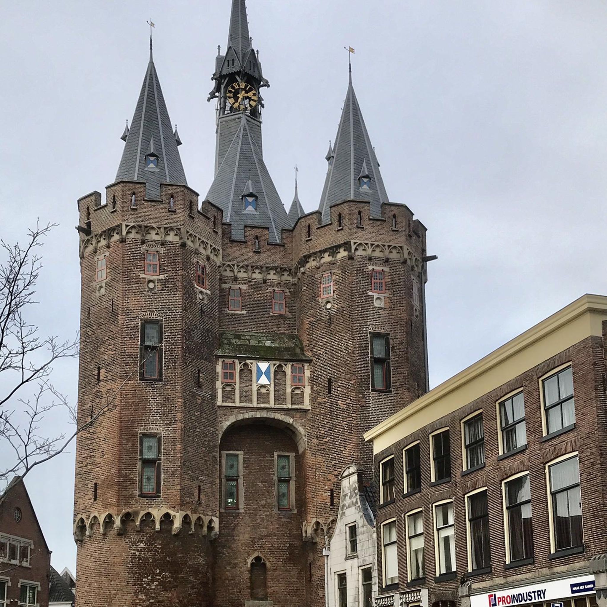
Javarzay Castle, the most imposing of its time in Deux-Sèvres, was originally made up of 12 towers, two of which remain today.
2
0

Javerzay castle with and and picnic table and children's play area
0
0
Frequently Asked Questions
How many hiking trails are available in Fontenille-Saint-Martin-D'Entraigues?
There are nearly 30 hiking trails around Fontenille-Saint-Martin-D'Entraigues. The area offers a diverse network of paths, with options ranging from easy strolls to more challenging routes.
What kind of landscapes can I expect to see while hiking here?
The landscape around Fontenille-Saint-Martin-D'Entraigues is characterized by its rural charm, featuring the scenic River Boutonne, traditional bocage (mixed woodland and farmland), and pleasant gardens. You'll find gentle elevation changes, making for enjoyable walks through the French countryside.
Are there any family-friendly hiking routes in the area?
Yes, many trails are suitable for families. For an easy and scenic option, consider the Javarzay Castle and Park – Javarzay Castle loop from Chef-Boutonne, which is 2.5 miles (4.1 km) and winds through the beautiful park grounds.
Can I bring my dog on the hiking trails?
Most trails in the region are dog-friendly, but it's always recommended to keep your dog on a leash, especially when passing through agricultural areas or near livestock. Always check local signage for specific restrictions.
Are there any circular hiking routes?
Yes, many routes are designed as loops. A popular moderate option is the Javarzay Castle Loop, which is 8.0 miles (12.9 km) and explores the surroundings of the historic castle.
What historical landmarks or points of interest can I see on a hike?
The region is rich in history. A prominent landmark is Javarzay Castle, around which several hiking routes are centered. You can also discover the historic charm of the commune itself, including the church of Saint-Martin-d'Entraigues, which adds a cultural dimension to your outdoor excursions.
What is the best time of year to go hiking in Fontenille-Saint-Martin-D'Entraigues?
Spring and autumn generally offer the most pleasant hiking conditions with mild temperatures and beautiful scenery. Summer can also be enjoyable, especially in the mornings or late afternoons, though it can be warmer.
Are there options for longer distance walks?
While many routes are shorter, you can combine trails or choose longer loops. For example, the Javarzay Castle – Javarzay Castle and Park loop from Chef-Boutonne offers a 5.4 miles (8.7 km) walk through rural landscapes.
Where can I find parking for hiking trailheads?
Parking is generally available near popular trailheads, especially around key attractions like Javarzay Castle or in the villages from which routes depart. Specific parking information is often detailed on individual route pages on komoot.
What do other hikers enjoy most about the trails here?
The trails in Fontenille-Saint-Martin-D'Entraigues are highly rated by the komoot community, with an average score of 4.6 stars from over 40 reviews. Hikers often praise the serene rural atmosphere, the gentle terrain, and the integration of historical sites like Javarzay Castle into the routes.
Are there any easy hiking trails for beginners or a relaxed stroll?
Absolutely. Many trails are classified as easy. The LA BARBETTE loop from Tillou is an easy 6.2 km route, perfect for a relaxed walk through the local landscape.
Are there any more challenging or advanced hiking routes?
While the majority of routes are easy to moderate, there is at least one trail classified as difficult for those seeking a greater challenge. These routes typically involve longer distances or slightly more varied terrain, though significant elevation changes are not characteristic of the region.
Is public transport available to reach the trailheads?
Public transport options directly to specific trailheads might be limited in this rural area. It's advisable to check local bus schedules or consider driving to the starting points of your chosen hikes.
Most popular routes around Fontenille-Saint-Martin-D'Entraigues

Get inspired with the komoot mobile app


Explore more
Browse the best Hikes in other regions.
