The best walks and hikes around Mooslarg
4.6
(767)
3,529
hikers
230
hikes
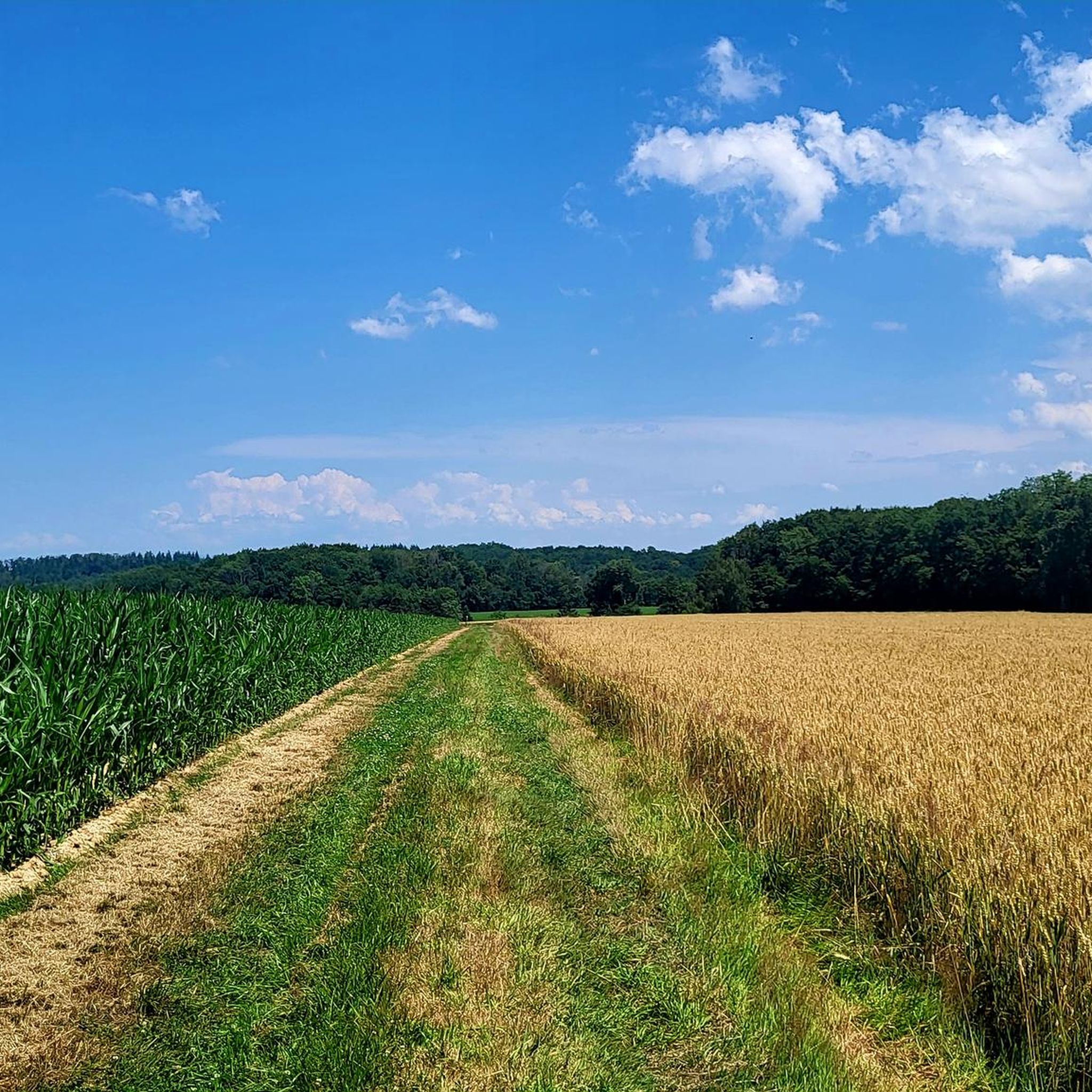
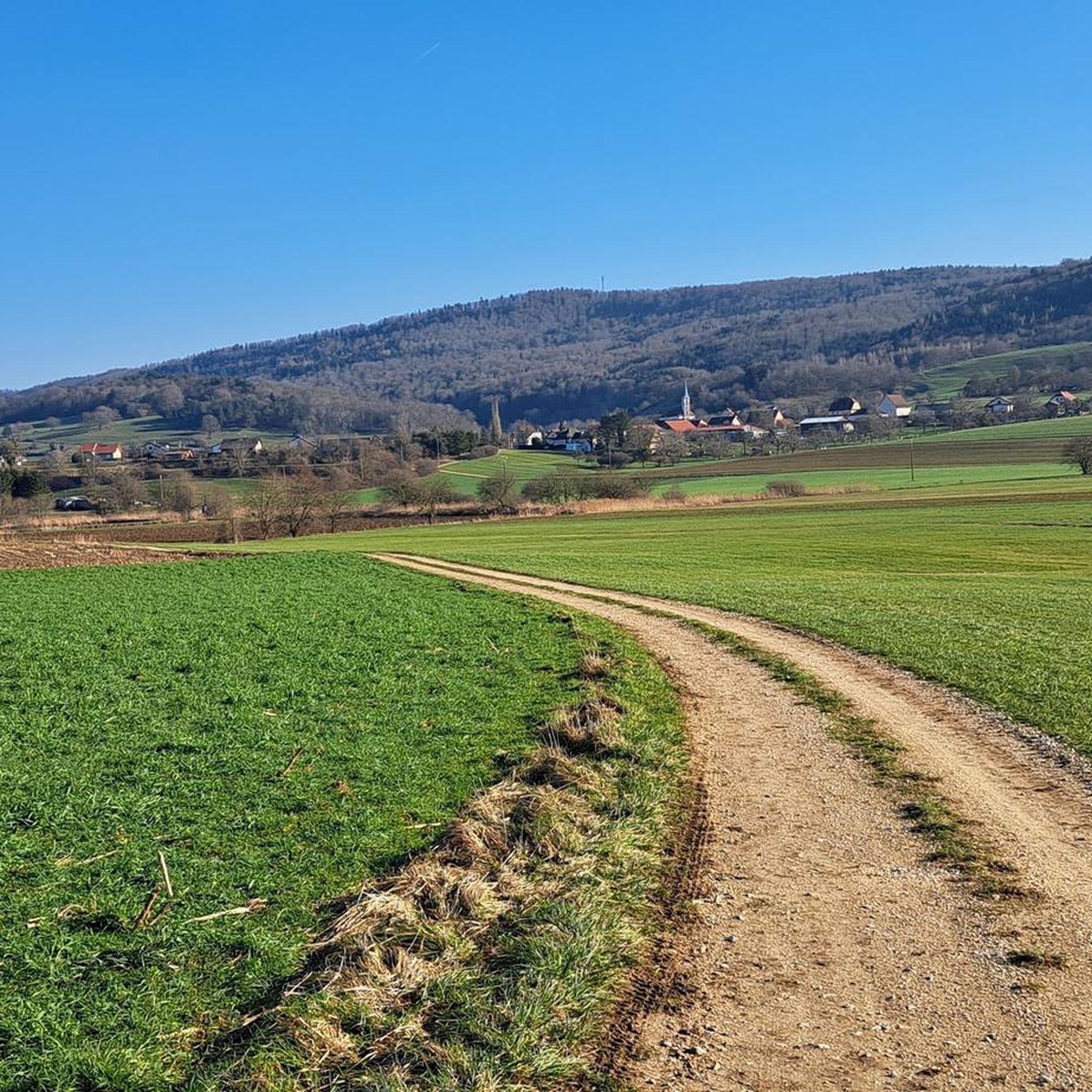
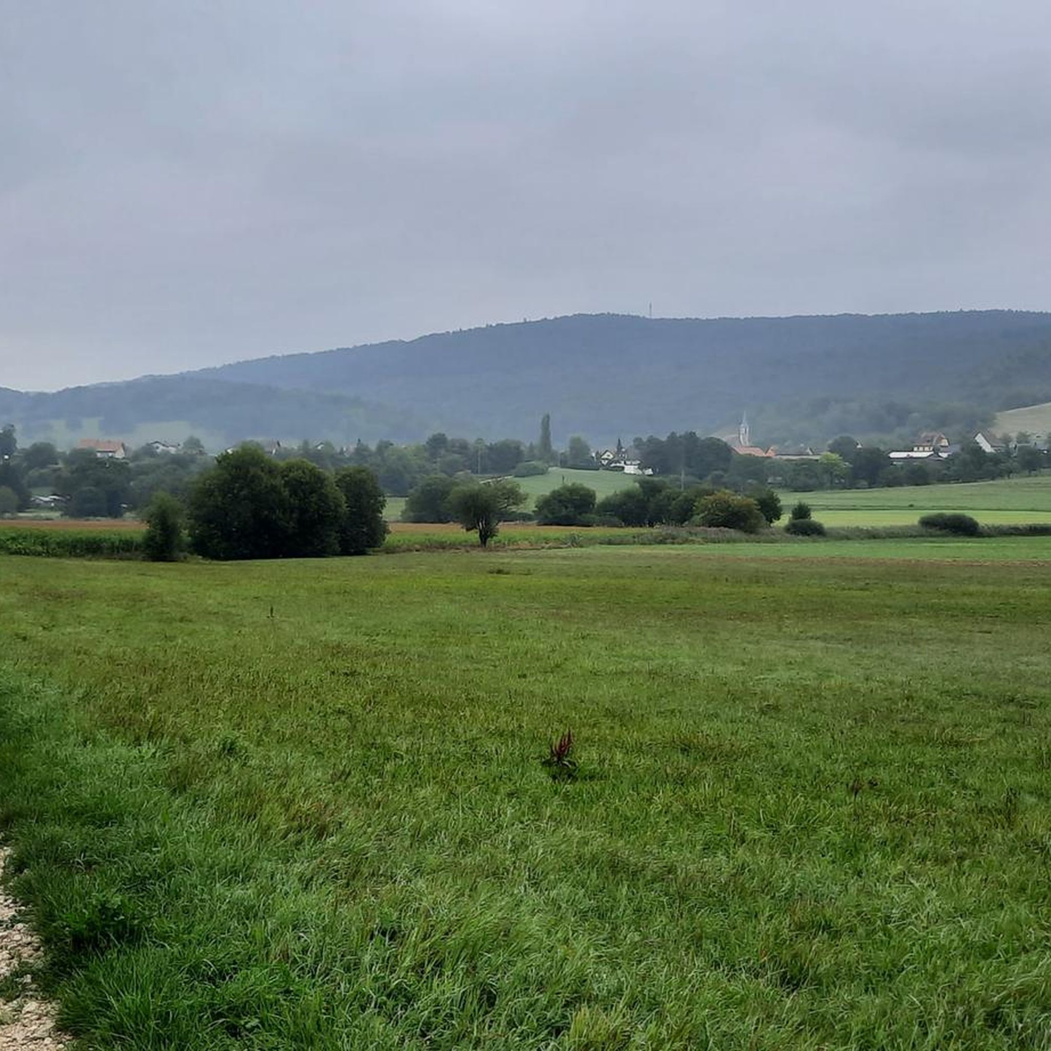
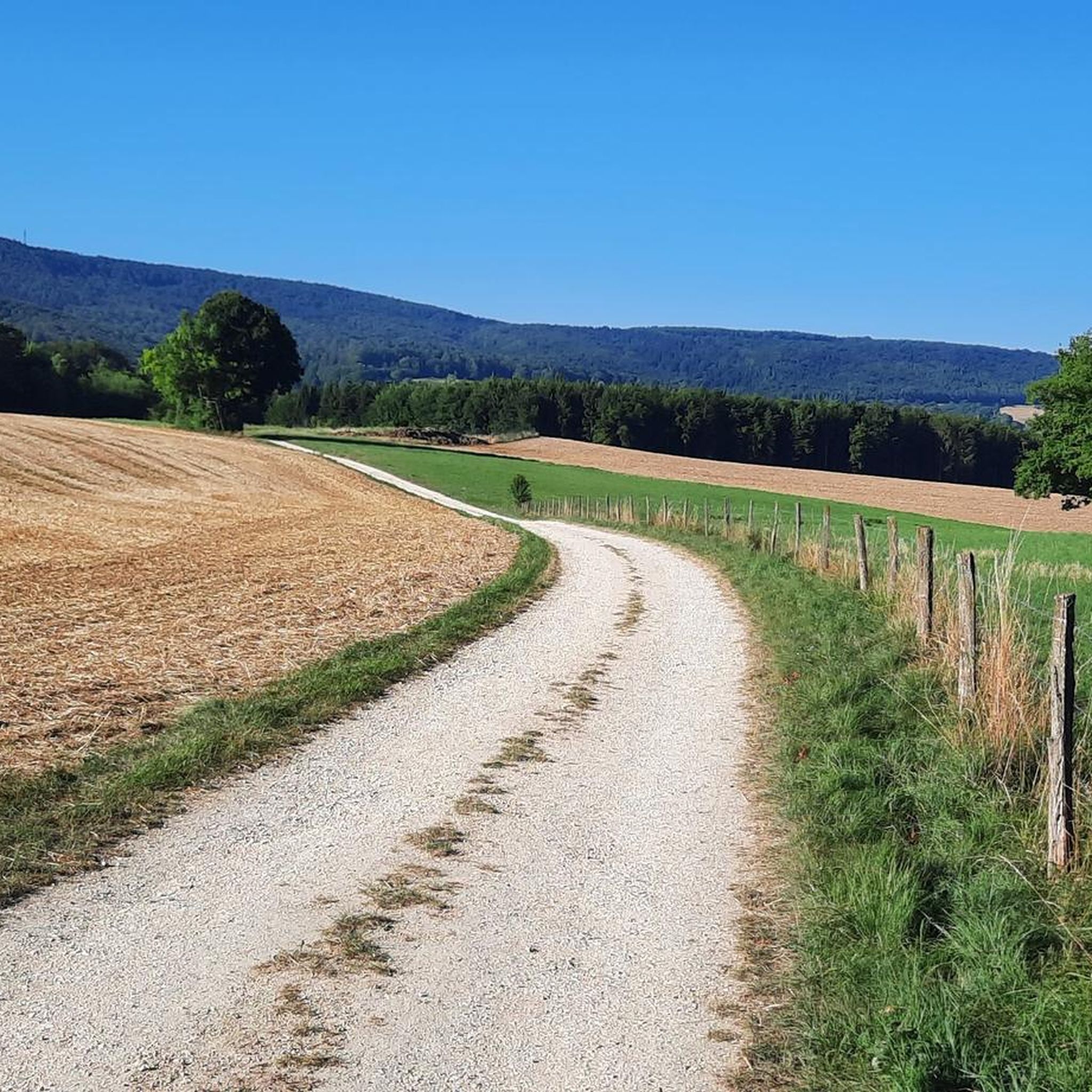
Hiking around Mooslarg offers a network of trails characterized by gentle terrain and a landscape featuring ponds and historic border markers. The region's routes often traverse open areas and woodlands, providing accessible outdoor experiences. Elevation changes are generally modest, making the area suitable for various fitness levels.
Best hiking trails around Mooslarg
- The most popular hiking route is Bisel Ponds Loop, a moderate 7.3 miles (11.7 km) trail that takes 3 hours 2 minutes to complete, exploring the local…
Last updated: October 8, 2026
4.5
(19)
101
hikers
11.7km
03:03
70m
70m
Moderate hike. Good fitness required. Mostly accessible paths. Sure-footedness required.
4.8
(32)
145
hikers
Moderate hike. Great for any fitness level. Mostly accessible paths. Sure-footedness required.

3.7
(6)
26
hikers
8.41km
02:11
60m
60m
Moderate hike. Good fitness required. Easily-accessible paths. Suitable for all skill levels.
3.0
(2)
11
hikers
Moderate hike. Good fitness required. Easily-accessible paths. Suitable for all skill levels.
4.8
(32)
145
hikers
6.75km
01:49
80m
80m
Moderate hike. Great for any fitness level. Mostly accessible paths. Sure-footedness required.
Get access to more routes and recommendations from other explorers.
Already have an account?
Our route recommendations are based on thousands of hikes, rides, and runs completed by other people on komoot.
Start today with a free account
Your next adventure awaits.

Tips from the Community

The „German infantry outpost at the Largue bridge“ is indeed an interesting installation from the First World War. It is located at the so-called Kilomètre Zéro, where the former Western Front began on the Franco-Swiss border near Pfetterhouse / Mooslargue. The installation is designated as structure No. 8. It was a small concrete casemate for observation and defense. It was built by German troops in the autumn of 1915. Its task was primarily to monitor the exit of the road bridge over the Largue. From there, it was possible to observe whether French soldiers were advancing across the bridge or along the road. The five firing slits are particularly interesting. Together, they covered approximately a 180° area. This allowed the crew to control a relatively large section in front of the position. This is particularly exciting: the road bridge at the time had a stone arch. It was destroyed by the Germans in 1917 because a French attack with tanks was feared. It is also interesting that other German installations are located nearby – including a machine gun outpost at the Moos bridge, blocking positions, and another infantry casemate. The entire area can be explored today via the „Sentier du Kilomètre Zéro“.
0
0
The railway bridges near Pfetterhouse The former Largtalbahn Dannemarie–Pfetterhouse–Bonfol ran directly through the front line. The French army not only used the infrastructure for transport but also integrated the railway line and its bridges into the military infrastructure. The bridges in Bannholz, immediately east/southeast of Pfetterhouse station, are particularly interesting. Today, remnants of the former railway bridges can still be seen there. https://www.flickr.com/photos/94033413@N06/albums/72157633003469056/
0
0
The Largtalbahn: Dannemarie–Pfetterhouse–Bonfol The line was called Largtalbahn in German, or the Dannemarie–Pfetterhouse railway line. It ran from Dannemarie (Dammerkirch) through the Largtal via Dannemarie → Altenach → Mertzen → Friesen → Seppois-le-Bas → Pfetterhouse → Swiss border → Bonfol → Porrentruy. The French section was about 20 km long. The line opened in 1910 and was initially a connection within the then German Empire, or between the German Empire and Switzerland. When the line was built, Alsace still belonged to the German Empire. The state treaty for the railway connection between Pfetterhausen and Bonfol was concluded in 1906 between the German Empire and Switzerland. With the start of the First World War, cross-border traffic was stopped. The border between Pfetterhouse and Bonfol was closed. At the same time, Pfetterhouse was located directly at the southern end of the Western Front. The railway could no longer be used simply as a normal international connection. The military significance of the area was considerable: military operations took place in the forests on both sides of the border, partly to prevent Alsatians from fleeing to Switzerland. Even today, traces of shell impacts are still present there.
0
0

After prolonged periods of rain and heavy machinery, the path can become impassable. Then it's a matter of heading into the thicket and skirting around the affected areas. Not always easy. A great route when dry. ...
0
0

In the centre of Bonfol the path is signposted
0
1

Vegetation is not very exciting, like in Switzerland, in a normal forest. The only highlight is the Étang de Bonfol.
0
0

The list of the so-called "14 emergency helpers" is not uniform everywhere, as regional peculiarities are sometimes taken into account. As a rule, the following patron saints are named (the text is from a notice board from Memmingen, which was created in the Baroque period, the original spelling - which is partly foreign to us - has been retained): St. Blasius - intercedes for sore throats St. George - should be called upon in times of war St. Erasmus - for intestinal and abdominal pain St. Vitus - a great friend of children's hearts St. Pantaleon - patron of doctors, powerful with God St. Christopher - he protects powerfully against hail and bad weather St. Dionysus - is called upon in times of major pain St. Cyriacus - can help those possessed by the devil St. Achatius - he helps Christian soldiers quickly St. Eustachius - averts sorrow in marriage St. Aegidius - helps to recognize secret sins St. Margaretha - where the devil's cunning finds access St. Catherine - when wisdom is found in studying lacks St. Barbara - received the sacrament in death
0
0

The pretty chapel of the Fourteen Saints, also called “Pfifferkapelle”, is located on the edge of the woods on the municipal ban of Bisel, on the edge of Moernach.
0
0
Frequently Asked Questions
How many hiking trails are available around Mooslarg?
Mooslarg offers a wide selection of hiking routes, with over 220 trails recorded on komoot. These include 83 easy routes, 120 moderate trails, and 23 more challenging options, ensuring there's something for every fitness level.
Are there easy or beginner-friendly hikes in Mooslarg?
Yes, Mooslarg is well-suited for beginners and those looking for easier walks. The region's terrain is generally gentle, with modest elevation changes. You'll find over 80 easy routes, many of which traverse open areas and woodlands, making them accessible and enjoyable for all.
What kind of scenery can I expect on hikes around Mooslarg?
Hiking around Mooslarg offers diverse scenery characterized by numerous ponds, tranquil woodlands, and open landscapes. Many routes also feature historic border markers, providing a glimpse into the region's past. The gentle, rolling terrain makes for pleasant and varied walks.
Are there any circular walks or loop trails in the Mooslarg area?
Yes, Mooslarg is known for its many circular routes. A popular option is the Bisel Ponds Loop, which is a moderate 7.3-mile (11.7 km) trail exploring the local pond systems. Another highly-rated loop is the Work of art near the pond – Buergerweiher pond loop from Bisel, covering 5.2 miles (8.4 km) through varied scenery.
What are some interesting historical landmarks to see while hiking?
Mooslarg's history is marked by its unique location at the intersection of borders. You can explore trails that feature historic border markers, such as the Km 0 – Historic Border Marker D/F/CH loop from Borne frontière N° 116, which traces a significant historical boundary.
Are there family-friendly hiking options in Mooslarg?
Absolutely. The gentle terrain and modest elevation changes make many of Mooslarg's trails suitable for families. The network of routes includes options that are perfect for walks with children, allowing everyone to enjoy the natural beauty of the ponds and woodlands.
What do other hikers say about the trails in Mooslarg?
The hiking trails in Mooslarg are highly regarded by the komoot community, holding an average rating of 4.6 stars from over 600 reviews. Hikers often praise the well-maintained paths, the tranquil pond landscapes, and the accessible nature of the routes, making them enjoyable for various skill levels.
What is the best time of year to go hiking in Mooslarg?
Given the gentle terrain and the presence of ponds and woodlands, Mooslarg is enjoyable for hiking throughout much of the year. Spring and autumn offer pleasant temperatures and vibrant natural colors, while summer provides lush greenery. Even in winter, many trails remain accessible for a refreshing walk, though conditions may vary.
Are there any castles or natural monuments near the hiking trails?
Yes, the region around Mooslarg is rich in both historical sites and natural beauty. You can find several castles nearby, such as Ferrette Castle and Château du Morimont. For natural attractions, consider visiting Lucelle Lake or the intriguing Dwarves' Grotto.
Are there any viewpoints along the Mooslarg walking paths?
While the terrain is generally gentle, there are spots offering scenic views. For example, the Loechle Rock is a notable viewpoint in the area, providing elevated perspectives of the surrounding landscape. Many trails also offer open vistas across fields and ponds.
Are there any longer, moderate hikes available?
For those seeking a longer, moderate challenge, the Historic Border Marker D/F/CH – Étangs de Bonfol loop from Borne frontière N° 116 is an excellent choice. This trail covers over 10 km (6.2 miles) and takes you through varied landscapes, including the historic border area and the Étangs de Bonfol.
Most popular attractions around Mooslarg

Get inspired with the komoot mobile app


Explore more
Browse the best Hikes in other regions.
