The best road cycling routes around Araules
4.5
(82)
2,198
riders
203
rides
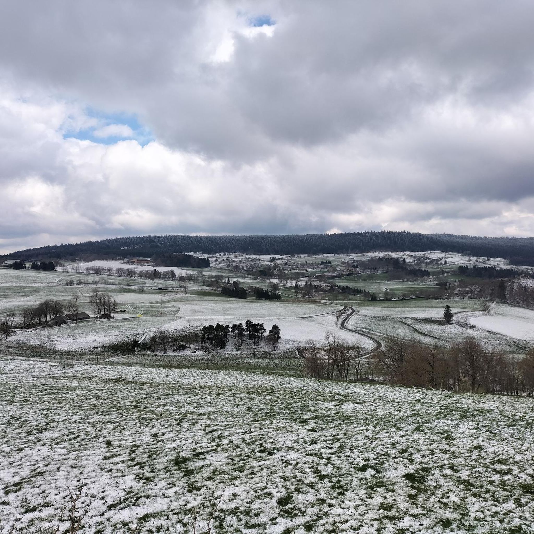
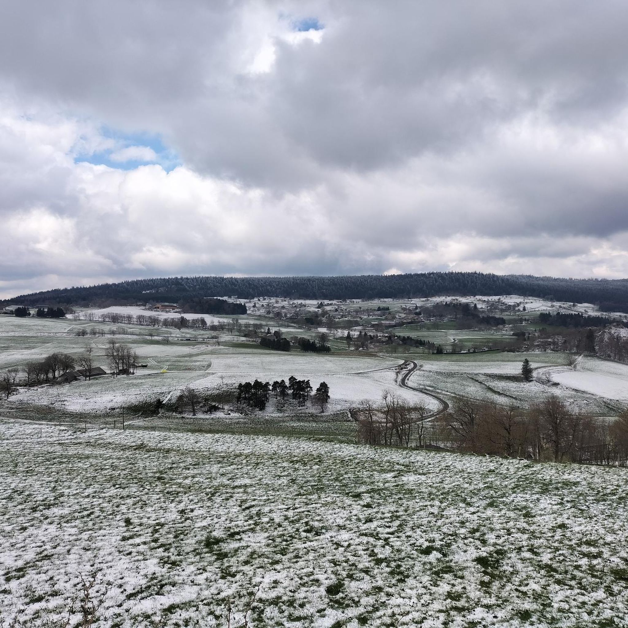
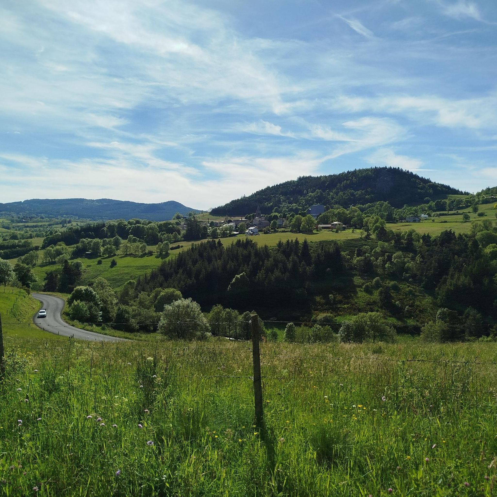
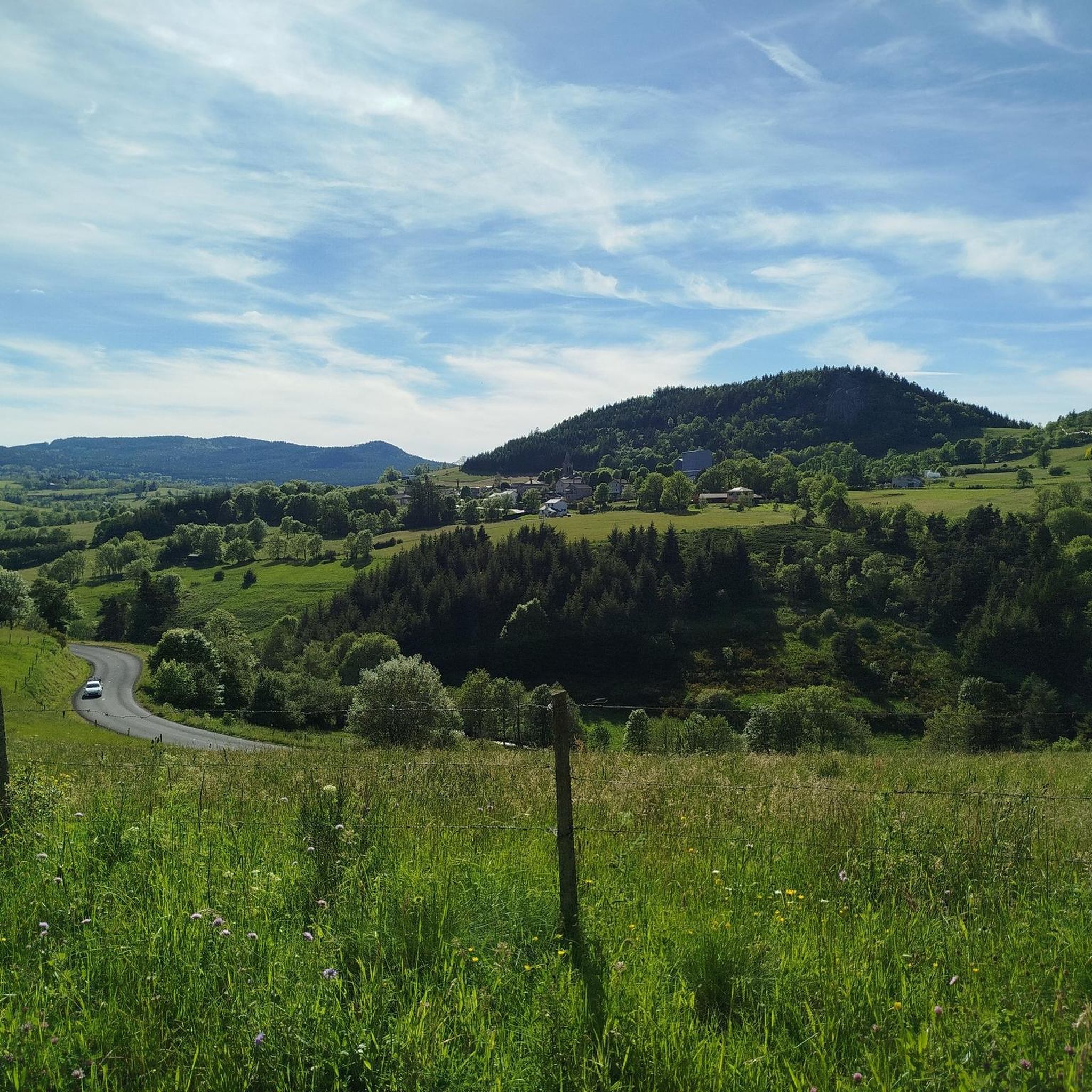
Road cycling routes around Araules are set within the natural and historical Velay region of south-central France, characterized by ancient volcanic landscapes. The area features a mid-mountain environment with varied elevations, including plateaus and stony summits, offering challenging ascents and descents. Notable features include the Pic du Lizieux, the highest point at 1,388 meters, and the extensive forests of the Meygal massif. This terrain provides a diverse backdrop for road cyclists seeking engaging rides.
Best road cycling routes around Araules
…Last updated: July 1, 2026
5.0
(4)
40
riders
61.9km
03:11
1,050m
1,050m
Hard road ride. Very good fitness required. Mostly well-paved surfaces and easy to ride.
1.0
(1)
24
riders
45.6km
02:26
840m
840m
Moderate road ride. Good fitness required. Mostly well-paved surfaces and easy to ride.

Sign up for free
10
riders
91.4km
05:02
1,750m
1,750m
Hard road ride. Very good fitness required. Some segments of this route may be unpaved and difficult to ride.
4.0
(1)
11
riders
41.8km
02:09
690m
690m
Moderate road ride. Good fitness required. Mostly well-paved surfaces and easy to ride.
8
riders
107km
06:01
2,160m
2,160m
Hard road ride. Very good fitness required. Mostly well-paved surfaces and easy to ride.
Get access to more routes and recommendations from other explorers.
Sign up for free
Already have an account?
Our route recommendations are based on thousands of hikes, rides, and runs completed by other people on komoot.
Start today with a free account
Your next adventure awaits.
Login or Signup

Tips from the Community

Beautiful viewpoint overlooking the village. Be careful on the climb to the cross; the rock is polished, and there's a risk of falling!
0
0


This lake located at an altitude of over 1200 m has magnificent colours
0
0
A pass at an altitude of over 1500 m. It is the highest in Ardèche.
0
0

Culminating at more than 1,250 meters, Lake Saint-Front is the highest lake in Haute-Loire. This natural lake of volcanic origin is seven meters deep and underneath is 47 meters of mud accumulated over geological time.
0
0

It is a road bridge but not without its charm. From here, you enjoy breathtaking views of the Loire and the surrounding hills.
0
1
This viaduct is a true technical feat. Leaving the Bon-Pas tunnel, we discover this magnificent curved viaduct and its six arches. A board explains the reasons for its nickname, the Bridge of Misfortune....
0
0
Arrival point of the Dolce Via and numerous roads, with a magnificent view of the Sucs and the Mézenc
1
0
Frequently Asked Questions
How many road cycling routes are available around Araules?
There are over 10 road cycling routes around Araules, offering a variety of experiences for cyclists. These routes are highly rated by the komoot community, with an average score of 4.5 stars.
What is the general difficulty level of road cycling routes in Araules?
Road cycling around Araules is characterized by volcanic formations and mid-mountain terrain, leading to routes that are generally moderate to difficult. You'll find 3 moderate and 7 difficult routes, featuring significant climbs and descents.
What kind of terrain can I expect when road cycling in Araules?
You can expect a diverse mid-mountain environment with ancient volcanic landscapes. The terrain includes plateaus and stony summits, offering winding roads, challenging ascents, and rewarding descents. Notable features include the Pic du Lizieux and the extensive forests of the Meygal massif.
Are there any routes that feature the Via Fluvia?
Yes, the route Belle Vue – Via Fluvia loop from Araules incorporates sections of the Via Fluvia, providing varied scenery and elevation changes over its 44.4 miles (71.5 km).
What natural features or landmarks can I see while road cycling in Araules?
While cycling, you can encounter various natural and historical points of interest. These include the Queyrières volcano, the Lake Lavalette, and the Cascade de la Beaume waterfall. The region is also home to the Suc de Chapteuil and the Basalt organ of Queyrières.
Are there any specific viewpoints or panoramic spots along the routes?
Yes, the region offers stunning panoramic views, especially from higher elevations. The Pic du Lizieux, at 1,388 meters, provides a 360° vista that can extend to the Alps on clear days. Many routes traverse these mid-mountain areas, offering scenic overlooks.
When is the best time of year to go road cycling in Araules?
Given its mid-mountain environment, the best time for road cycling in Araules is typically from late spring through early autumn (May to October). During these months, the weather is generally more favorable, with milder temperatures and less chance of snow or ice at higher altitudes.
Are there circular road cycling routes available in Araules?
Many of the road cycling routes in Araules are designed as loops, allowing you to start and end in the same location. Examples include the Col de Médille, elevation 1,332 m – Col de la Croix de Boutières loop from Recharinges and the Rochepaule Pass – Saint-Agrève Village loop from Araules.
What do other road cyclists say about the routes in Araules?
The road cycling routes in Araules are highly regarded by the komoot community, with an average rating of 4.5 stars from over 60 reviews. Cyclists often praise the challenging volcanic terrain, the varied scenery, and the rewarding climbs and descents.
Is there parking available for road cyclists in Araules?
While specific parking areas for cyclists are not detailed, Araules is a commune with various starting points for routes. It is generally possible to find parking in or near the villages where routes begin, such as Araules or Recharinges, though availability may vary.
How accessible is Araules by public transport for cyclists?
Information on specific public transport options for cyclists bringing bikes to Araules is limited. It's advisable to check local bus or train services in the Haute-Loire department for their bike carriage policies, as options can vary significantly by region and operator.
Are the road cycling routes in Araules suitable for families?
Given that most routes are rated moderate to difficult with significant elevation changes, many of the road cycling routes in Araules may be challenging for younger children or families seeking very easy, flat rides. However, experienced cycling families might enjoy the adventure. For easier options, look for routes with less elevation gain or consider shorter sections of the Via Fluvia in nearby areas.
Most popular attractions around Araules

Get inspired with the komoot mobile app


Explore more
Browse the best Road cycling routes in other regions.
