The best running trails around Grazac
3.9
(31)
1,309
runners
13
runs
Jogging around Grazac, located in the Tarn department of the Occitanie region in France, offers diverse natural landscapes for outdoor activity. The area is characterized by a mix of forests, including proximity to the Forêt de Bouconne, and riverine areas along the Tarn. While larger natural attractions like the Gorges de l'Aveyron are a short drive away, the immediate surroundings provide dedicated trails suitable for running. The terrain includes varied elevations, from moderate paths to more challenging ascents.
Best jogging…
Last updated: October 24, 2026
15
runners
19.1km
02:14
440m
440m
Hard run. Very good fitness required. Mostly runnable paths. Some sure-footedness required.
16
runners
12.1km
01:23
260m
260m
Moderate run. Good fitness required. Mostly paved surfaces.

14
runners
11.2km
01:17
160m
160m
Moderate run. Good fitness required. Mostly paved surfaces.
12
runners
18.1km
02:19
630m
630m
Hard run. Very good fitness required. Mostly paved surfaces.
11
runners
12.4km
01:19
160m
160m
Moderate run. Good fitness required. Mostly paved surfaces.
Get access to more routes and recommendations from other explorers.
Already have an account?
Our route recommendations are based on thousands of hikes, rides, and runs completed by other people on komoot.
Start today with a free account
Your next adventure awaits.

Tips from the Community

Yes, in July 2026, with the barrier the castle is not visible 🫤
1
0

2026, the ruins are no longer accessible. A barrier really blocks the passage and many signs are present. Construction machines were in place, probably for a restoration...
1
0
Potentially very dangerous passage!
0
0

On the Saint-Maurice-de-Lignon side, in addition to access to the Gorges du Lignon footbridge, a belvedere awaits the bravest. With a 7-meter overhang above the gorges, the Belvédère du Lignon offers a magnificent view of the footbridge, but also of the river below.
3
1

Superb bike path, not always continuous, but one of the longest and most pleasant that I have been able to travel.
0
0


By bike, dismount on the footbridge, it's a little swaying... but magnificent. We can make a loop and leave on the other side
3
2
Frequently Asked Questions
How many running routes are available around Grazac?
There are over a dozen dedicated running routes around Grazac, offering a variety of distances and difficulty levels. In total, komoot features 13 routes for jogging in the area.
Are there any easy jogging routes for beginners in Grazac?
While Grazac offers many moderate and difficult routes, there are no routes specifically categorized as 'easy' in the immediate vicinity. The region's terrain often includes varied elevations. However, some moderate routes, like the Ruins of Château de Carry – Château de Carry Ruins loop from Grazac, might be suitable for runners with a reasonable fitness level, covering 12.1 km.
What kind of natural scenery can I expect on running trails near Grazac?
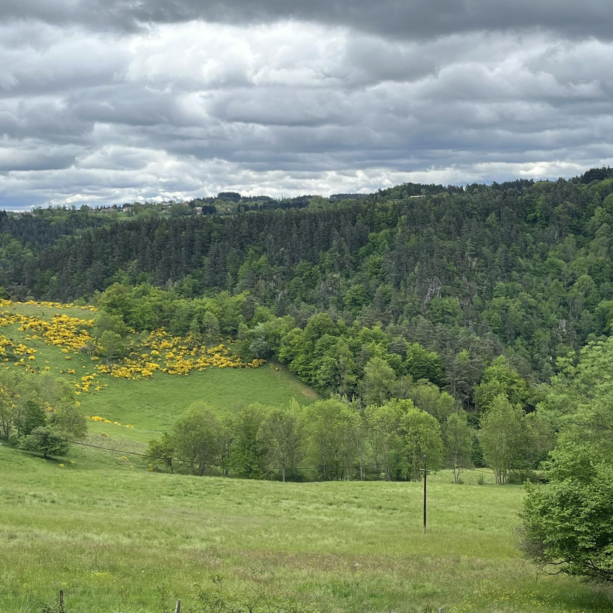
Jogging routes around Grazac feature a mix of natural landscapes. You'll find dense woodlands, riverine areas along the Tarn, and varied terrain. The region is known for its natural beauty, including proximity to areas like the Forêt de Bouconne and the Gorges de l'Aveyron further afield.
Are there any circular running routes in Grazac?
Yes, many of the running routes around Grazac are circular, allowing you to start and finish in the same location. Examples include the challenging Lignon Loop via the Himalayan Footbridge and the moderate Château de Carry Ruins loop from Grazac.
What are some notable landmarks or points of interest I might see on a run?
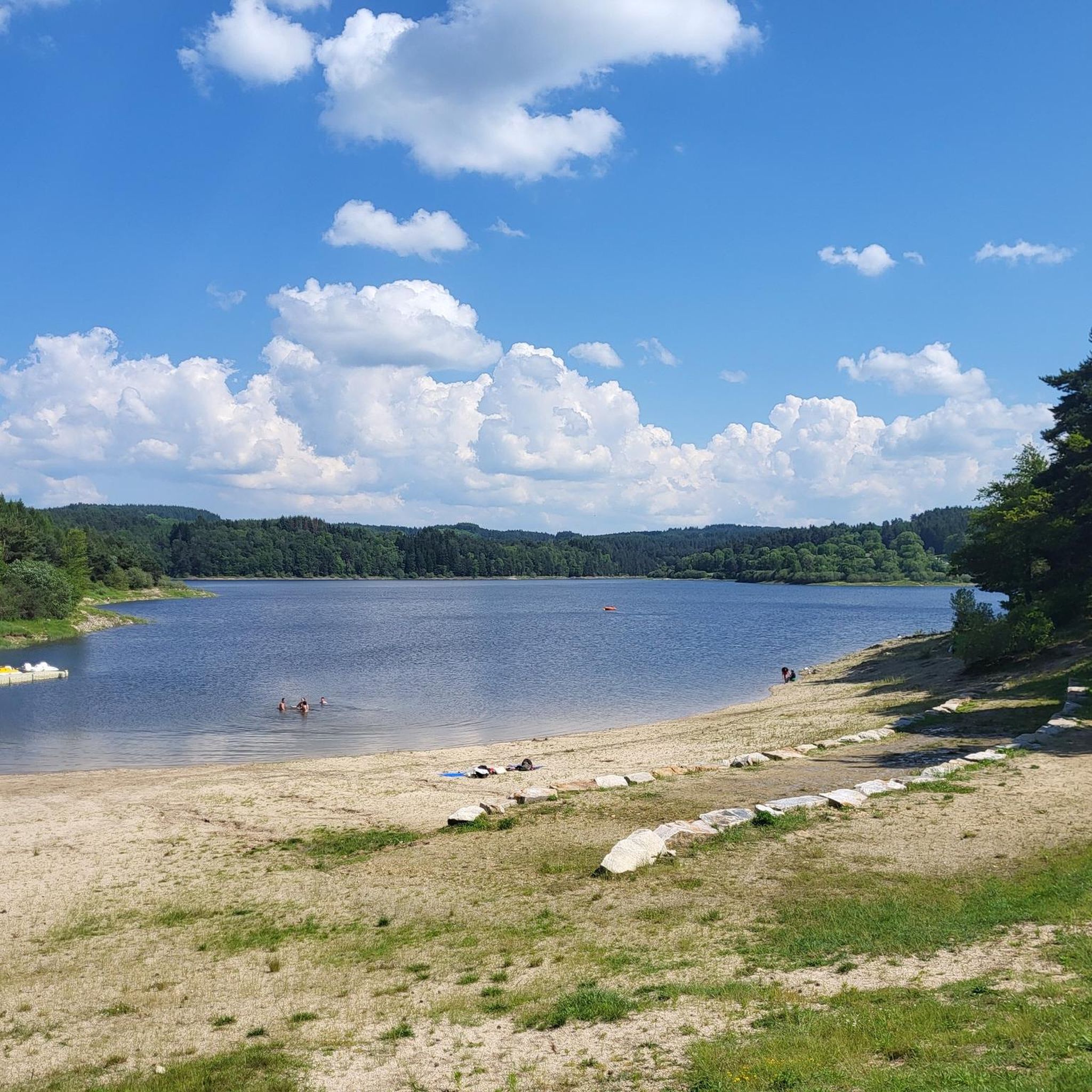
Several routes offer glimpses of interesting landmarks. For instance, the Lignon Loop via the Himalayan Footbridge features the impressive Himalayan footbridge at Gorges du Lignon. You might also encounter historical sites like the Ruins of Château de Carry on some trails. Other highlights in the area include Lake Lavalette and the Croix de Couvet.
What do other runners say about the trails in Grazac?
The running trails in Grazac are highly regarded by the komoot community, holding an average rating of 4.0 stars from over 20 reviews. Runners often praise the varied terrain, the natural beauty of the woodlands, and the historical points of interest along the routes.
Are there any routes that follow waterways or rivers?
Yes, the region's riverine areas provide opportunities for runs along water. The Waterways – Via fluvia in the forest loop from Grazac is a challenging 20.79 km route that specifically highlights its connection to waterways and forest paths.
What is the longest running route available in Grazac?
The longest running route featured is the Waterways – Via fluvia in the forest loop from Grazac, which spans approximately 20.8 km and is categorized as difficult. It typically takes around 2 hours and 11 minutes to complete.
Are there any challenging running routes with significant elevation gain?
Absolutely. Grazac offers several difficult routes with notable elevation changes. The Grassy Embankment Near Grazac loop from Grazac, for example, is an 18.1 km difficult trail with significant ascents, often taking around 2 hours and 19 minutes to complete.
Can I find running routes that combine natural beauty with historical sites?
Yes, Grazac's routes often blend natural landscapes with historical interest. The Ruins of Château de Carry – Château de Carry Ruins loop from Grazac is a prime example, offering a moderate 12.1 km run through natural scenery that includes the historical ruins of Château de Carry.
What is the best time of year for jogging in Grazac?
The Occitanie region, where Grazac is located, generally offers pleasant conditions for outdoor activities for much of the year. Spring and autumn typically provide mild temperatures ideal for running. Summer can be warm, so early morning or late evening runs are often preferred, while winter can be cooler but still suitable depending on local conditions.
Most popular attractions around Grazac

Get inspired with the komoot mobile app


Explore more
Browse the best Running Trails & Routes in other regions.
