The best running trails around Arrigas
4.6
(82)
1,884
runners
80
runs
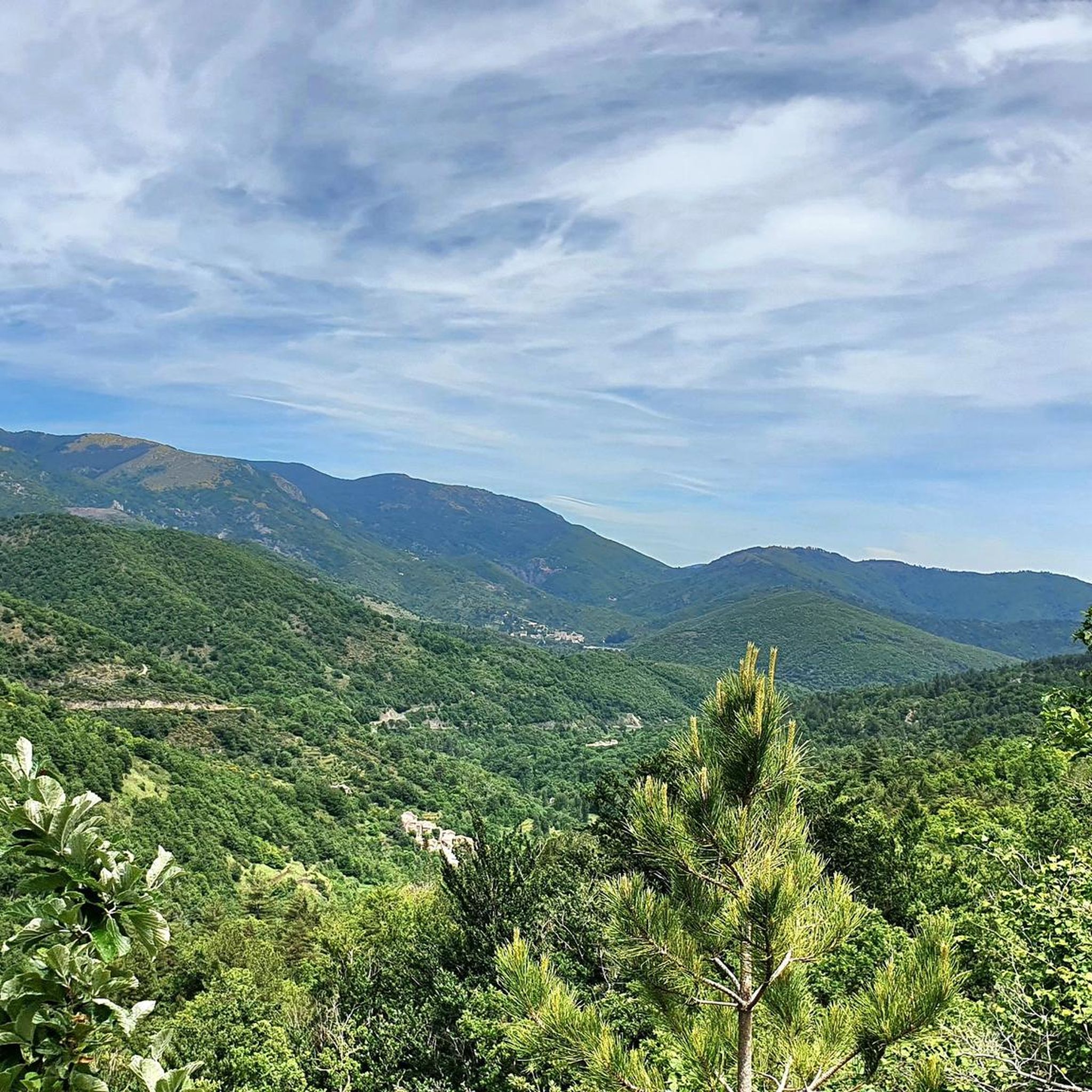
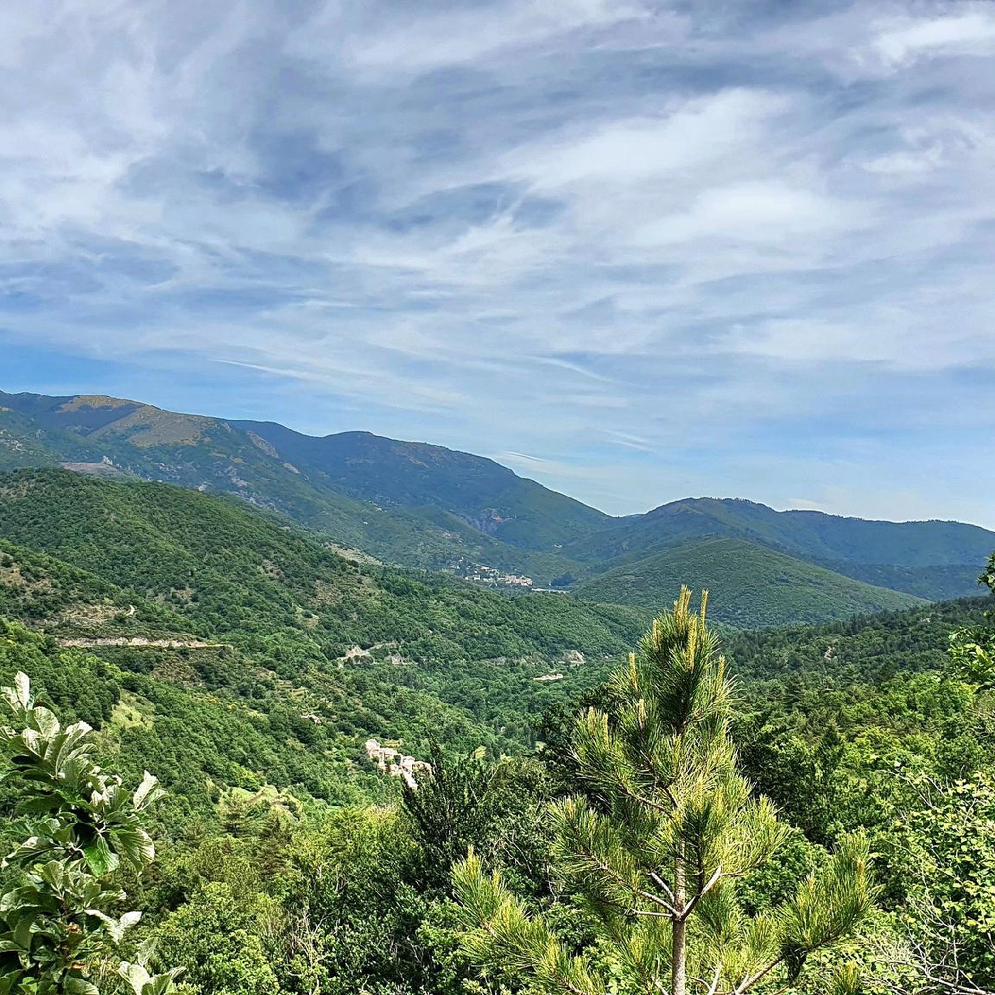
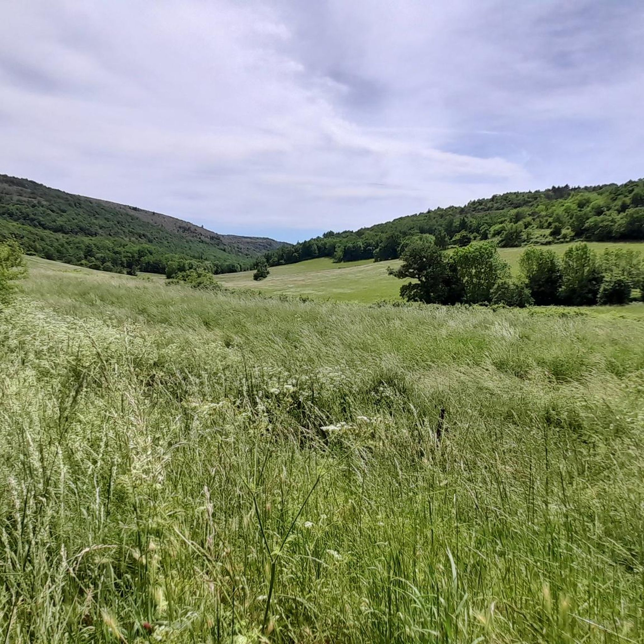
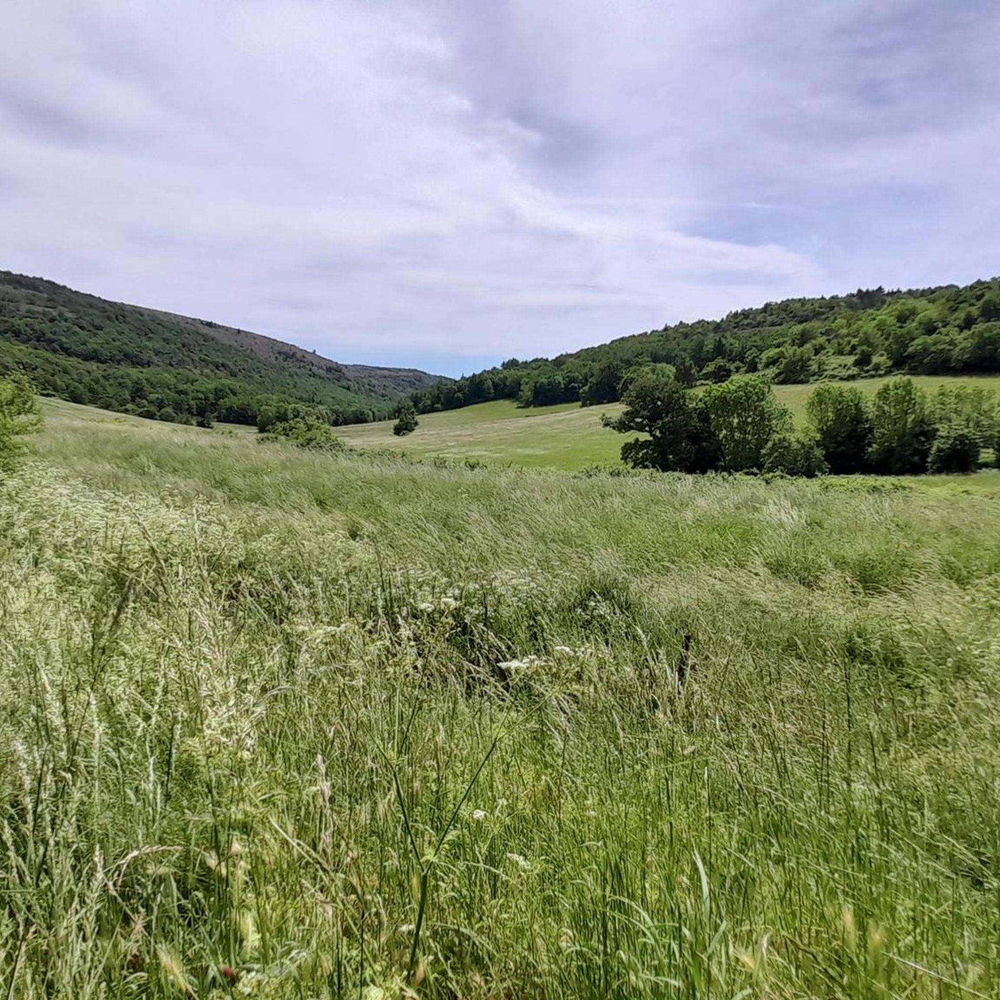
Jogging routes around Arrigas are set within the Cévennes mountains, a UNESCO biosphere reserve in Occitanie, France. The region features a diverse landscape, including pseudo-alpine grasslands, moors, and river valleys, providing varied terrain for running. Joggers can explore trails through Natura 2000 sites, such as the Massif de l'Aigoual et du Lingas and the Causse de Blandas, which offer wide-open vistas and distinct geological formations. Several rivers, including the Vis and Arre, drain the commune, suggesting scenic routes along their…
Last updated: October 25, 2026
38
runners
35.6km
04:56
1,200m
1,200m
Hard run. Very good fitness required. Sure-footedness, sturdy shoes and alpine experience required.
26
runners
38.8km
05:30
1,710m
1,710m
Hard run. Very good fitness required. Mostly paved surfaces.

5.0
(1)
9
runners
26.2km
03:41
1,100m
1,100m
Hard run. Very good fitness required. Mostly paved surfaces.
8
runners
19.5km
02:54
980m
980m
Hard run. Very good fitness required. Mostly paved surfaces.
8
runners
6.24km
00:40
100m
100m
Moderate run. Good fitness required. Mostly paved surfaces.
Get access to more routes and recommendations from other explorers.
Already have an account?
Our route recommendations are based on thousands of hikes, rides, and runs completed by other people on komoot.
Start today with a free account
Your next adventure awaits.

Tips from the Community

Completely crazy as a place, it's worth the descent and the climb back up in the furnace!
0
0

A truly extraordinary spot. A few information panels explain a great deal about the mill, as well as the resurgence of the Vis River. This place should be respected, of course (as everywhere). Be careful, there are a few tricky sections. Keep an eye on your children, pets, or elderly visitors.
0
0

This viaduct is a perfect example of the many structures that make up the La Cévenol Greenway. Indeed, it follows the old railway line that crossed the Cévennes mountains.
0
0

A single track without any major technical difficulty, but dizzying! I took it uphill, and the shoulder made me sweat at times! Be careful, however, if there are a lot of hikers, the area could be unpleasant for everyone.
0
0

Very nice walk
0
0

We first looked from above before going down.
0
0

Beautiful waterfall in the Cirque de Navacelles
3
0
Frequently Asked Questions
What types of terrain can I expect on running trails around Arrigas?
Jogging routes in Arrigas traverse a diverse landscape within the Cévennes mountains. You'll encounter varied terrain, including pseudo-alpine grasslands, moors, and scenic river valleys. The region's Natura 2000 sites, such as the Massif de l'Aigoual et du Lingas and the Causse de Blandas, offer wide-open vistas and distinct geological formations, providing a mix of surfaces from challenging uphill climbs to more gentle paths.
Are there running routes suitable for beginners or those looking for an easier jog?
While many routes in Arrigas are considered difficult due to significant elevation gain, there are options for moderate ability levels. For instance, the Aumessas loop from Aumessas is a moderate 6.2 km (3.9 miles) path with a more manageable elevation gain, offering a good option for a less strenuous run.
What natural features or landmarks can I see while jogging in Arrigas?
The region is rich in natural beauty and unique geological formations. You can explore areas like the dramatic Cirque de Navacelles and its nearby La Vis Waterfall. Other notable features include the Blandas Viewpoints, offering expansive vistas, and various mountain passes such as Minier Pass.
Are there any circular running routes in the Arrigas area?
Yes, many of the running routes around Arrigas are circular, allowing you to start and finish in the same location. Examples include the Arre Valley – Lac des Pises loop from Aumessas and the Saint-Guiral Rock loop from Arrigas, which offer varied distances and challenges.
What do other runners say about the jogging routes in Arrigas?
The running routes in Arrigas are highly rated by the komoot community, with an average score of 4.6 stars from over 20 reviews. More than 1800 runners have used komoot to explore the area, often praising the diverse terrain, stunning views, and the immersive experience within the preserved natural environment of the Cévennes.
Are there any specific routes that pass by a lake or offer water views?
Yes, several routes incorporate water features. The Arre Valley – Lac des Pises loop from Aumessas and the Portes Pass – Lake des Pises loop from Aumessas both feature the scenic Lac des Pises. Additionally, the commune is drained by several rivers like the Vis and Arre, suggesting picturesque routes along their banks.
Is it possible to find parking near the trailheads in Arrigas?
While specific parking locations for every trailhead are not detailed, routes often start from villages like Aumessas or Arrigas, where local parking options are typically available. It's advisable to check local signage upon arrival for designated parking areas.
What is the best season for running in Arrigas?
Arrigas, being in the Cévennes mountains, experiences a mountain climate. Spring and autumn generally offer pleasant temperatures for running. Summer can be warm, especially at lower elevations, so early morning or late afternoon runs are recommended. Winter can bring colder temperatures and potentially snow or ice at higher altitudes, requiring appropriate gear.
Are there any permits or fees required to access running trails in the Cévennes near Arrigas?
Arrigas is part of the Cévennes, a UNESCO biosphere reserve. While general access to trails for activities like jogging typically does not require specific permits or fees, it's always recommended to respect local regulations, especially within Natura 2000 sites. No specific permits for running are mentioned in the provided data.
Can I find running routes that offer expansive views?
Absolutely. The mountainous terrain and open grasslands of the Cévennes provide numerous opportunities for panoramic views. The Portes Pass – Lake des Pises loop from Aumessas is known for its expansive views from Portes Pass, and the View of Aumessas – Le Caladon loop from Aumessas also offers scenic vistas of the surrounding area.
Are there any options for public transport to reach the running trailheads in Arrigas?
The region around Arrigas is rural. While specific public transport links to individual trailheads are not detailed, access to the commune itself might be possible via regional bus services. However, for flexibility in reaching various starting points, personal transport is generally recommended.
What is the typical length of running trails in Arrigas?
The running trails around Arrigas vary significantly in length. You can find shorter, moderate routes like the Aumessas loop from Aumessas at 6.2 km (3.9 miles), up to more challenging, longer runs such as the Portes Pass – Lake des Pises loop from Aumessas, which spans 27.5 km (17.1 miles).
Most popular attractions around Arrigas

Get inspired with the komoot mobile app


Explore more
Browse the best Running Trails & Routes in other regions.
