The best walks and hikes around Saint-Maximin
4.6
(2358)
12,708
hikers
319
hikes
Hiking around Saint-Maximin offers access to diverse landscapes, primarily defined by the Sainte-Baume massif. This region features a striking contrast of limestone cliffs, ancient forests, and karstic relief. The terrain includes both gentle paths and more challenging ascents, with elevations providing panoramic views. The area is characterized by its unique blend of Mediterranean and mid-level mountain forest ecosystems.
Best hiking trails around Saint-Maximin
- The most popular hiking route is Roman regulating basin of Uzès loop from Uzès, a 3.5…
Last updated: May 12, 2026
4.5
(11)
34
hikers
5.68km
01:37
130m
130m
Easy hike. Great for any fitness level. Easily-accessible paths. Suitable for all skill levels.
4.4
(16)
119
hikers
16.2km
04:35
330m
320m
Moderate hike. Good fitness required. Mostly accessible paths. Sure-footedness required.

Sign up for free
5.0
(3)
10
hikers
9.99km
02:47
190m
180m
Moderate hike. Good fitness required. Easily-accessible paths. Suitable for all skill levels.
5.0
(5)
11
hikers
9.28km
02:36
180m
180m
Moderate hike. Good fitness required. Easily-accessible paths. Suitable for all skill levels.
4.0
(2)
4
hikers
5.48km
01:35
80m
80m
Moderate hike. Great for any fitness level. Mostly accessible paths. Sure-footedness required.
Get access to more routes and recommendations from other explorers.
Sign up for free
Already have an account?
Our route recommendations are based on thousands of hikes, rides, and runs completed by other people on komoot.
Start today with a free account
Your next adventure awaits.
Login or Signup
Tips from the Community

The true starting point of the aqueduct, this masonry structure, measuring approximately ten square meters and located a few hundred meters downstream from the water intake in the Eure Valley, was discovered in 1991 by a team of amateur archaeologists. It served to regulate the amount of water delivered to Nîmes using sluice gates that diverted excess water back into the Alzon River. At the other end of the structure, 50 kilometers away, the Castellum (still visible on Rue de la Lampèze, it is the best-preserved Roman aqueduct) distributed water to the various districts of the city.
0
0

A square surrounded by arcades. Beautiful cafés, shops, and restaurants are located beneath the plane trees. There's a market here and throughout most of the town on Wednesdays and Saturdays.
0
0

Impressive church
1
0

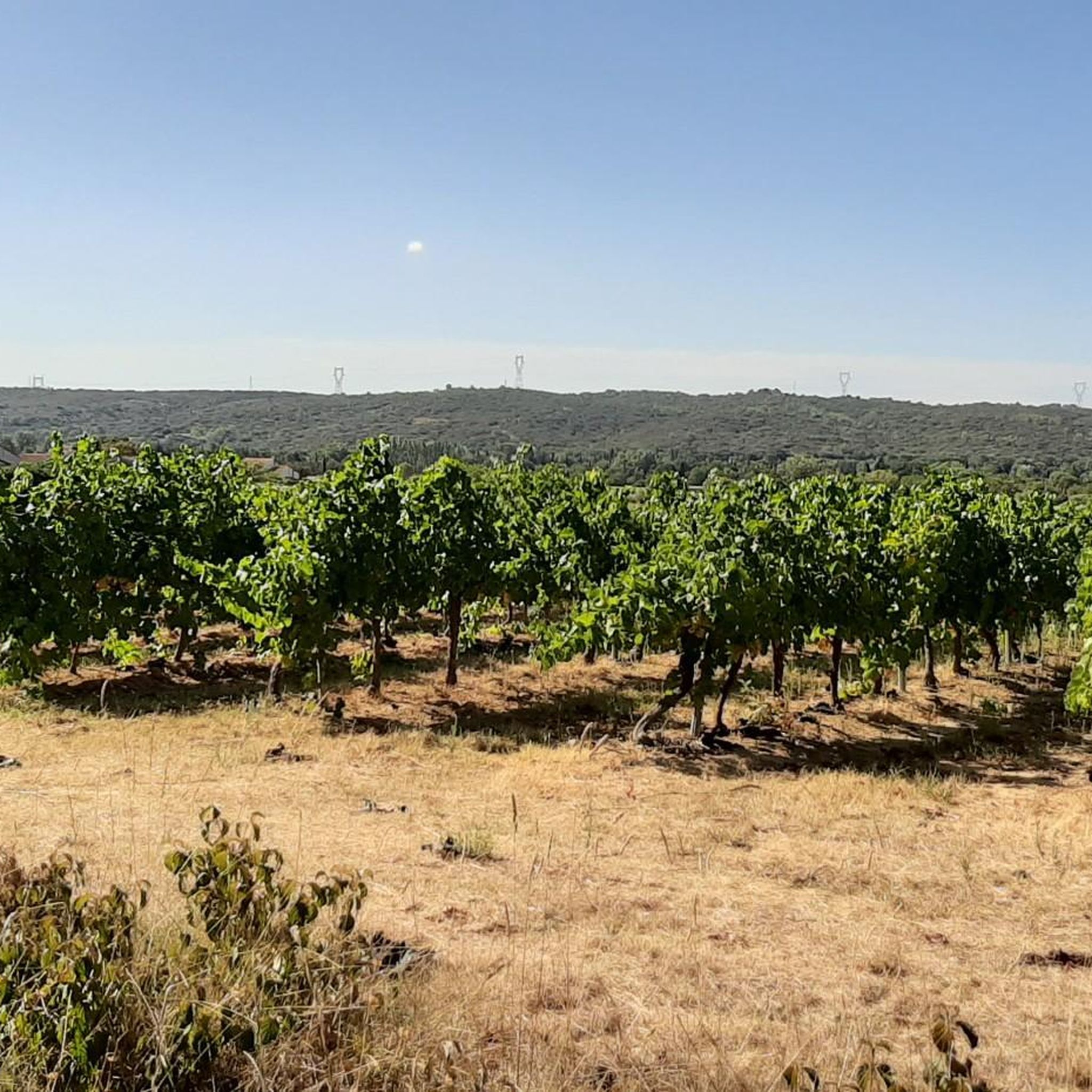
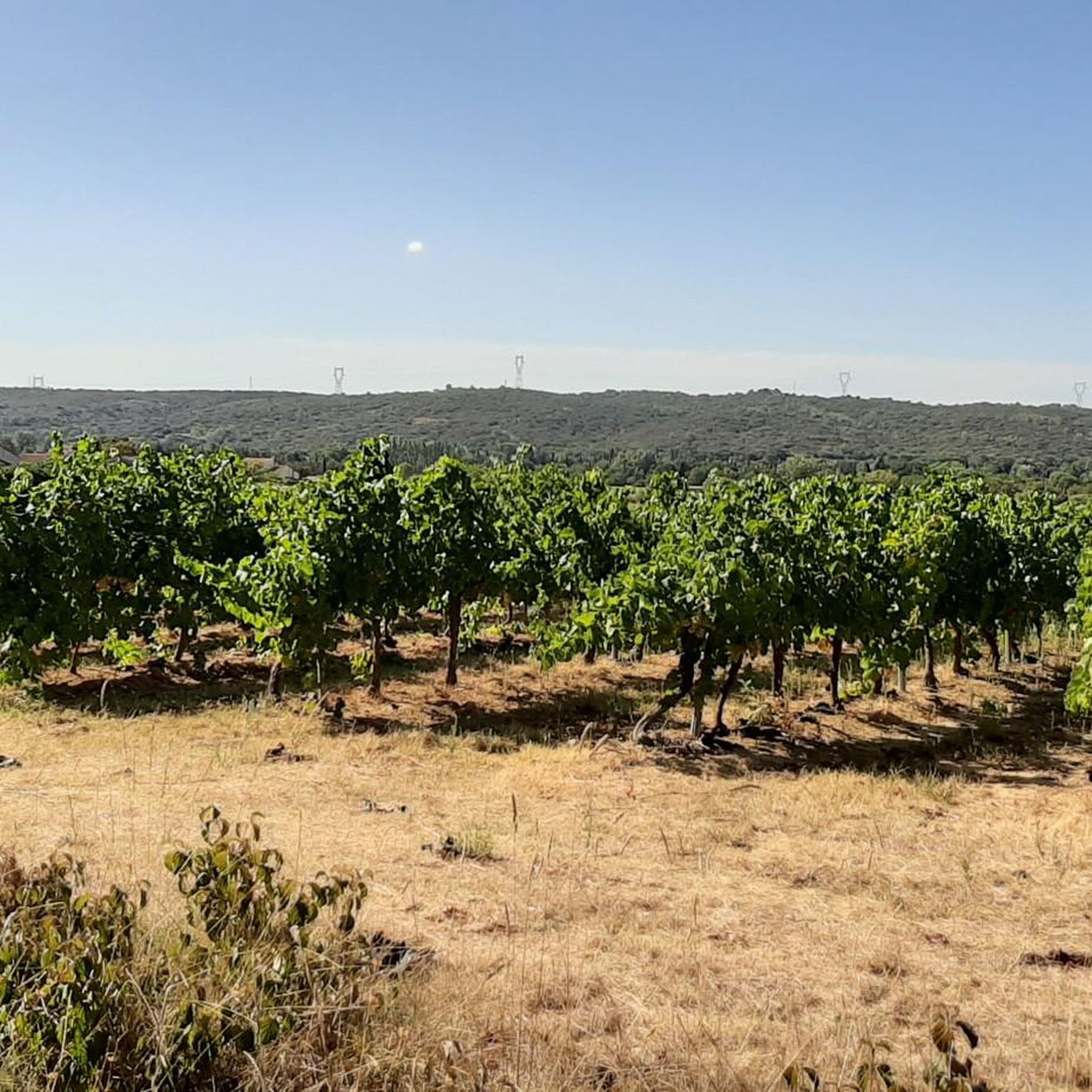
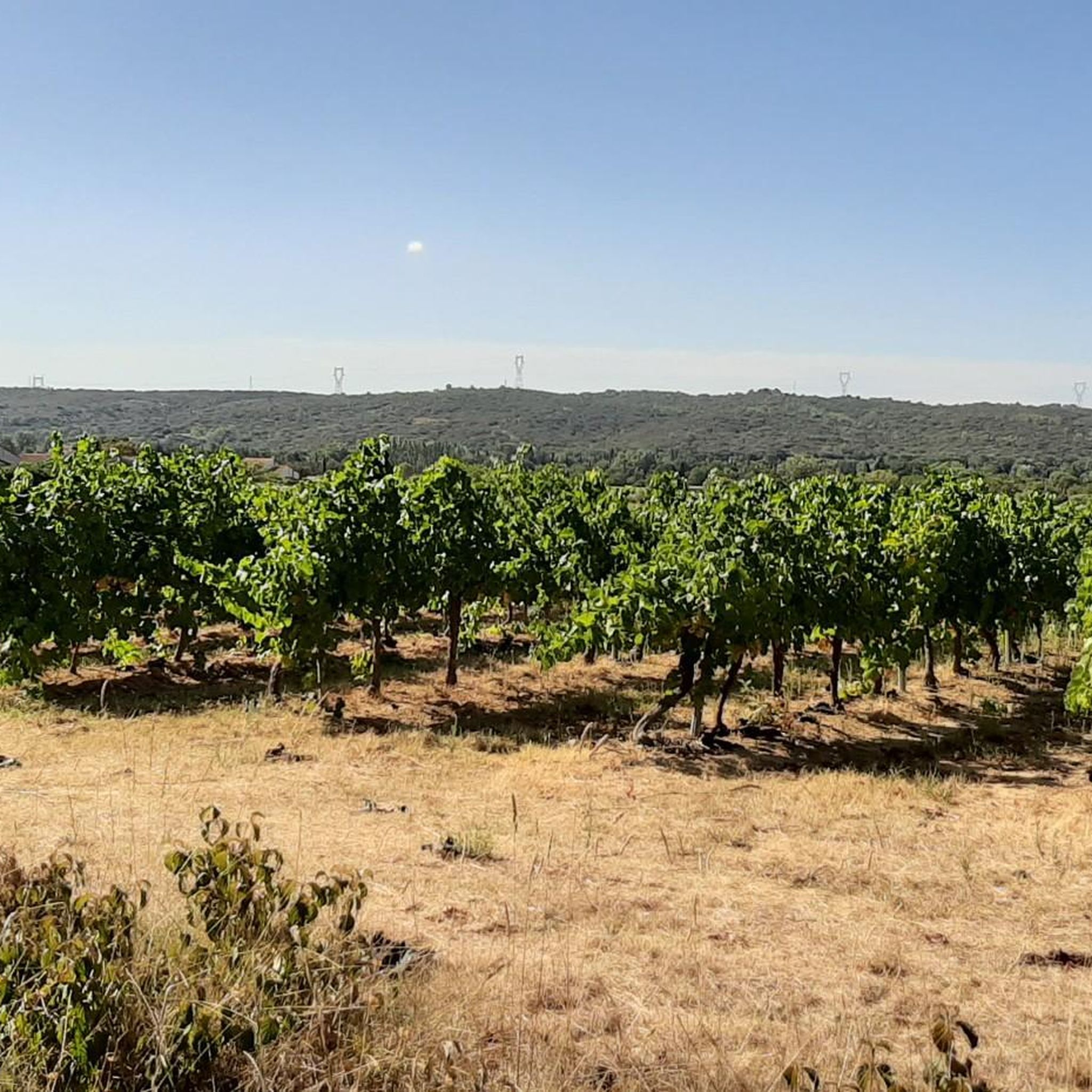
The path down to the river and back up to the viewpoint is green, varied and nice to walk. Various insects along the path. Great panorama of the city when you are at the top. Fewer views further along.
0
0

Can be visited approximately 1 per hour
0
0
Antique, well preserved and maintained
1
0
Accessible path which runs along the watercourse then passes through the middle of a meadow where horses are present, a white man even came to say hello to me. then it ends with a portal on the right (the small one) is open.
1
0

Frequently Asked Questions
How many hiking trails are available around Saint-Maximin?
There are over 300 hiking routes around Saint-Maximin, offering a wide variety of experiences. These include 130 easy trails, 150 moderate paths, and 25 more challenging routes, ensuring options for all skill levels.
What kind of terrain can I expect on hikes in the Saint-Maximin area?
The terrain around Saint-Maximin is largely defined by the Sainte-Baume massif, featuring a striking contrast of limestone cliffs, ancient forests, and karstic relief. You'll find both gentle paths and more technical ascents, with elevations providing panoramic views. The region boasts a unique blend of Mediterranean and mid-level mountain forest ecosystems.
Are there any circular walks available near Saint-Maximin?
Yes, many trails in the region are circular. For example, the Place aux Herbes – Belvédère des Garrigues loop from Saint-Maximin is a moderate 16.2 km path that offers expansive views. Another option is the MaximTrail loop from Saint-Maximin, a moderate 5.5 km route.
What are some notable natural features or landmarks to see while hiking?
The region is rich in natural beauty and historical sites. You can explore the ancient 'Relique' Forest, a unique vestige of the ice age, or discover the Sources of the Huveaune river with its distinctive 'water bottles' cascades. For impressive views, consider visiting Le Castellas – View over the Gardon or the View of a bend in the Gardon River. The Sainte-Baume massif itself offers breathtaking panoramic vistas from various points.
Are there any caves or religious sites accessible via hiking trails?
Yes, the region is known for its spiritual sites. The revered Grotte de Sainte-Marie-Madeleine (Mary Magdalene's Cave) is a significant pilgrimage site, often reached by a 45-minute hike through the sacred forest. Nearby, the Saint-Pilon Chapel at 994 meters altitude also offers breathtaking panoramic views and is a common destination on these trails.
What is the best time of year to go hiking in Saint-Maximin?
The Sainte-Baume massif and surrounding areas offer great hiking opportunities throughout much of the year. Spring and autumn generally provide the most pleasant temperatures for longer hikes. Summer can be hot, making early morning or late afternoon hikes preferable, especially in shaded forest areas like the 'Relique' Forest. Winter hikes are also possible, particularly on lower-altitude trails, but always check local conditions.
Are there any easy, family-friendly trails suitable for beginners?
Yes, Saint-Maximin offers many easy trails. Over 130 routes are classified as easy, providing gentle paths suitable for families and beginners. While specific stroller-friendly routes aren't detailed, many easy paths through the forests or along less rugged terrain would be suitable for a leisurely walk.
What do other hikers say about the trails in Saint-Maximin?
The routes in Saint-Maximin are highly rated by the komoot community, with an average score of 4.6 stars from over 2,100 reviews. Hikers often praise the diverse landscapes, from ancient forests to panoramic viewpoints, and the extensive network of trails that cater to all abilities.
Are there any trails that offer views of the Mediterranean Sea?
Yes, from various points within the Sainte-Baume massif, especially from higher elevations like the Col du St-Pilon or the ridge of the Sainte-Baume Massif, you can enjoy spectacular panoramic views. On clear days, these vistas can stretch all the way to the Mediterranean Sea to the south.
Are there any long-distance hiking routes that pass through the Saint-Maximin area?
Yes, the region is part of significant long-distance trails. The GR 9 trail runs along the ridge of the Sainte-Baume massif, offering extraordinary hiking. Additionally, a section of the GR®653A, part of the UNESCO World Heritage listed Way of St. James, passes through the region, connecting Menton to Arles.
Where can I find a trail that explores historical water management features?
You can explore historical water management features on the Roman regulating basin of Uzès loop from Uzès. This easy 5.7 km trail is a popular choice for those interested in the region's ancient engineering.
Are there any trails that lead to a viewpoint over the Gardon River?
Yes, you can hike to several viewpoints offering stunning perspectives of the Gardon River. Consider visiting Le Castellas – View over the Gardon or the View of a bend in the Gardon River, both of which are popular highlights in the area.
Most popular routes around Saint-Maximin
Most popular attractions around Saint-Maximin

Get inspired with the komoot mobile app


Explore more
Browse the best Hikes in other regions.
