The best walks and hikes around Saint-André-De-Majencoules
4.5
(537)
3,447
hikers
14
hikes
Hiking around Saint-André-De-Majencoules offers an exceptional natural setting within the Cévennes mountains, a UNESCO-listed area. The region is characterized by a diverse topography, ranging from river valleys at 180 meters to elevations of 900 meters, featuring rocky spurs, dense forests of holm oaks and chestnut trees, and historical terraced fields. This varied terrain provides a wide range of hiking experiences for nature enthusiasts.
Best hiking trails around Saint-André-De-Majencoules
- The most popular hiking route is Serre de la Toureille – Col de Peyrefiche loop from L'Arboux, a 8.9 miles (14.3 km) trail that takes about 4 hours 40 minutes to complete. This moderate route offers varied terrain through the Cévennes landscape.
- Another top favourite among local hikers is Saint-André-de-Majencoules loop from Saint-André-de-Majencoules, an easy 2.2 miles (3.5 km) path. This shorter route provides an accessible way to explore the immediate surroundings of the village.
- Local hikers also love the Saint-André-de-Majencoules – Col de Peyrefiche loop from Saint-André-de-Majencoules, a 10.3 miles (16.6 km) trail leading through mountainous terrain, often completed in about 5 hours 32 minutes.
- Hiking around Saint-André-De-Majencoules is defined by its Cévennes mountain landscapes, river valleys, and dense forests, offering a blend of challenging ascents and gentler paths. The network of trails provides options for various ability levels, from easy village loops to difficult mountain expeditions.
- The routes in Saint-André-De-Majencoules are highly rated by the komoot community with an average score of 4.5 stars from over 500 reviews. More than 3000 hikers have used komoot to explore Saint-André-De-Majencoules's varied terrain.
Last updated: June 25, 2026
5.0
(4)
23
hikers
16.8km
05:38
810m
810m
Hard hike. Very good fitness required. Easily-accessible paths. Suitable for all skill levels.
3.5
(2)
10
hikers
3.48km
01:01
100m
100m
Easy hike. Great for any fitness level. Easily-accessible paths. Suitable for all skill levels.

Sign up for free
5.0
(2)
11
hikers
10.2km
03:14
410m
410m
Moderate hike. Good fitness required. Easily-accessible paths. Suitable for all skill levels.
4.0
(4)
8
hikers
7.15km
02:14
270m
270m
Moderate hike. Good fitness required. Easily-accessible paths. Suitable for all skill levels.
4.5
(2)
5
hikers
9.60km
02:59
370m
370m
Moderate hike. Good fitness required. Easily-accessible paths. Suitable for all skill levels.
Get access to more routes and recommendations from other explorers.
Sign up for free
Already have an account?
Our route recommendations are based on thousands of hikes, rides, and runs completed by other people on komoot.
Start today with a free account
Your next adventure awaits.
Login or Signup

Tips from the Community


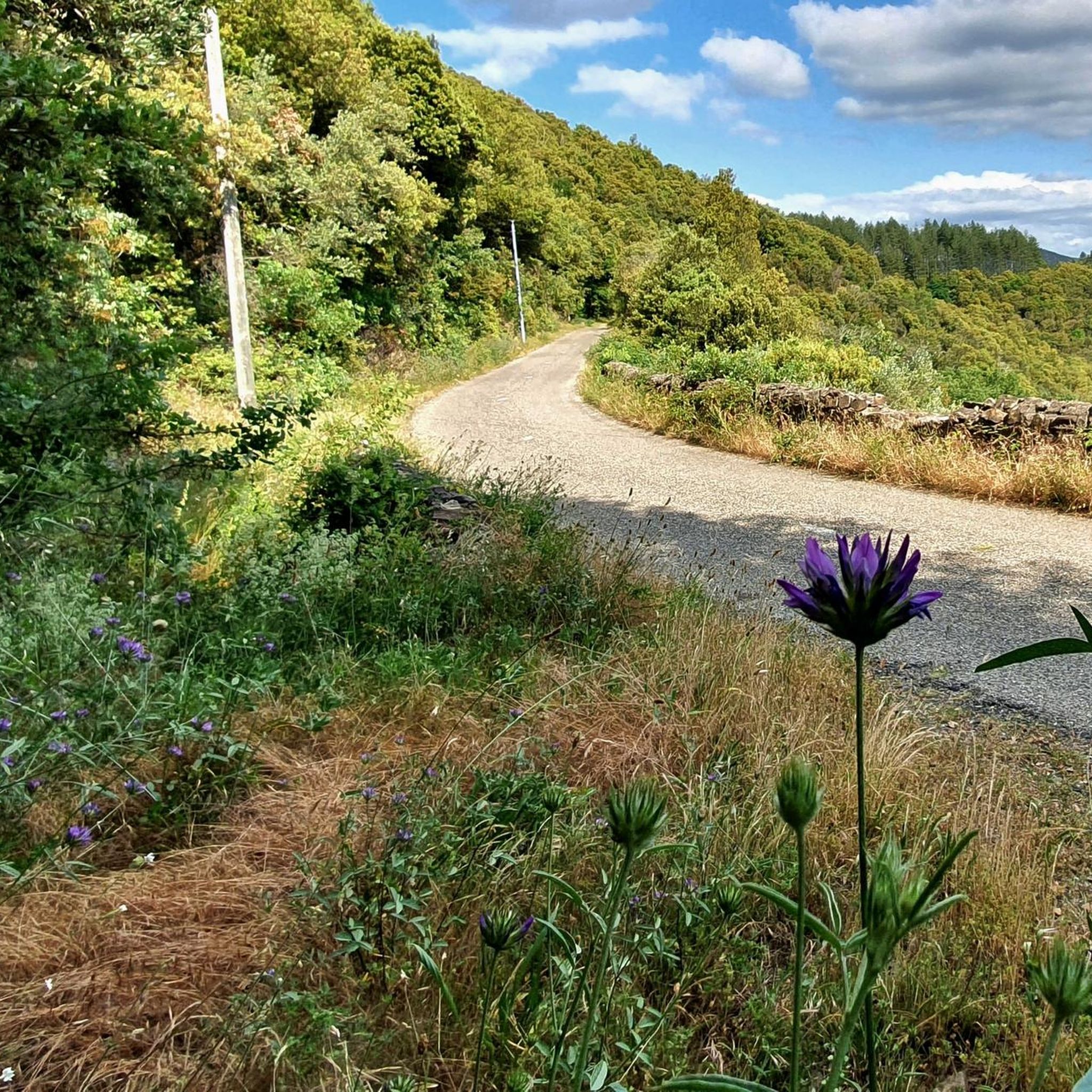
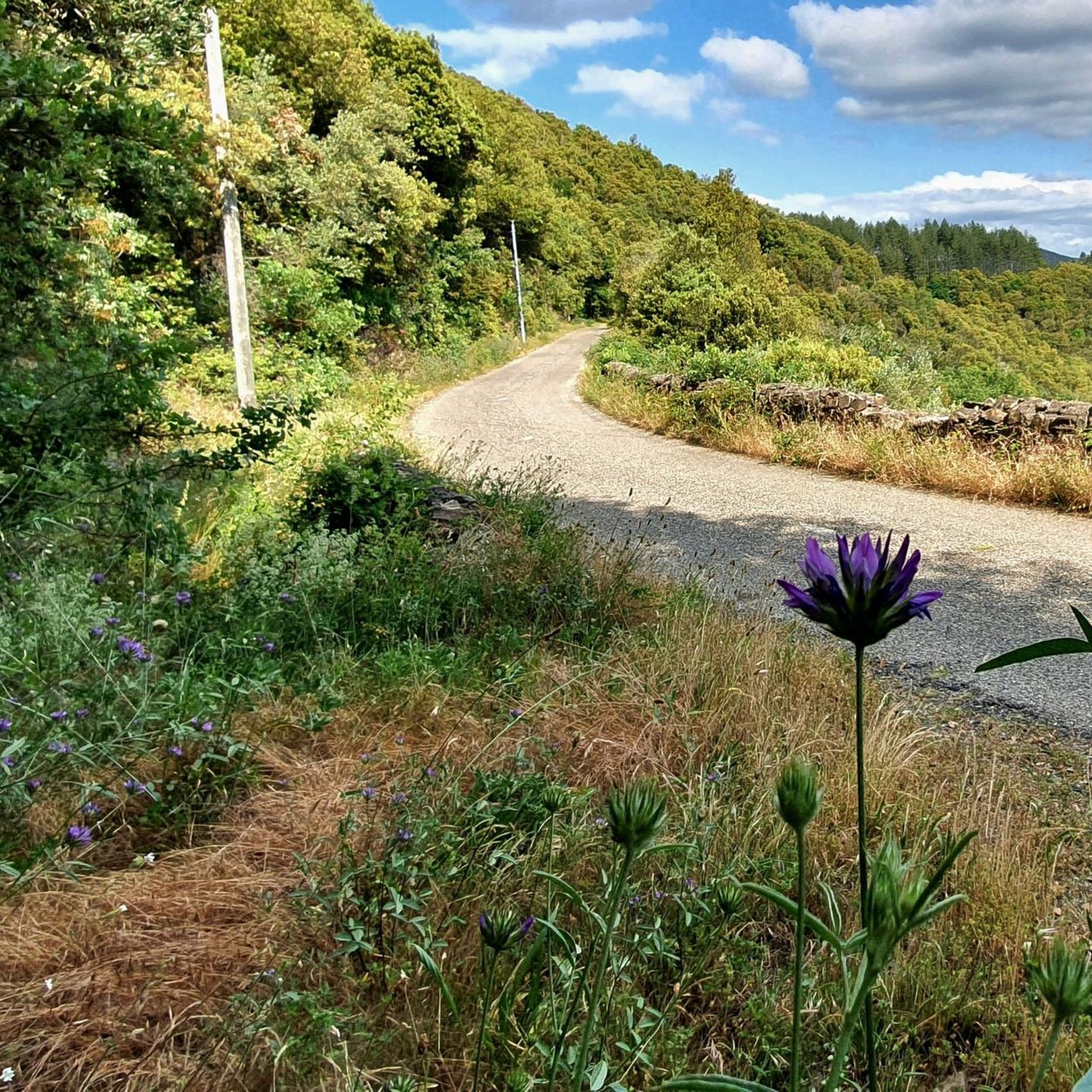
Pass without a noteworthy view in the forest with an ancient tree.
0
0

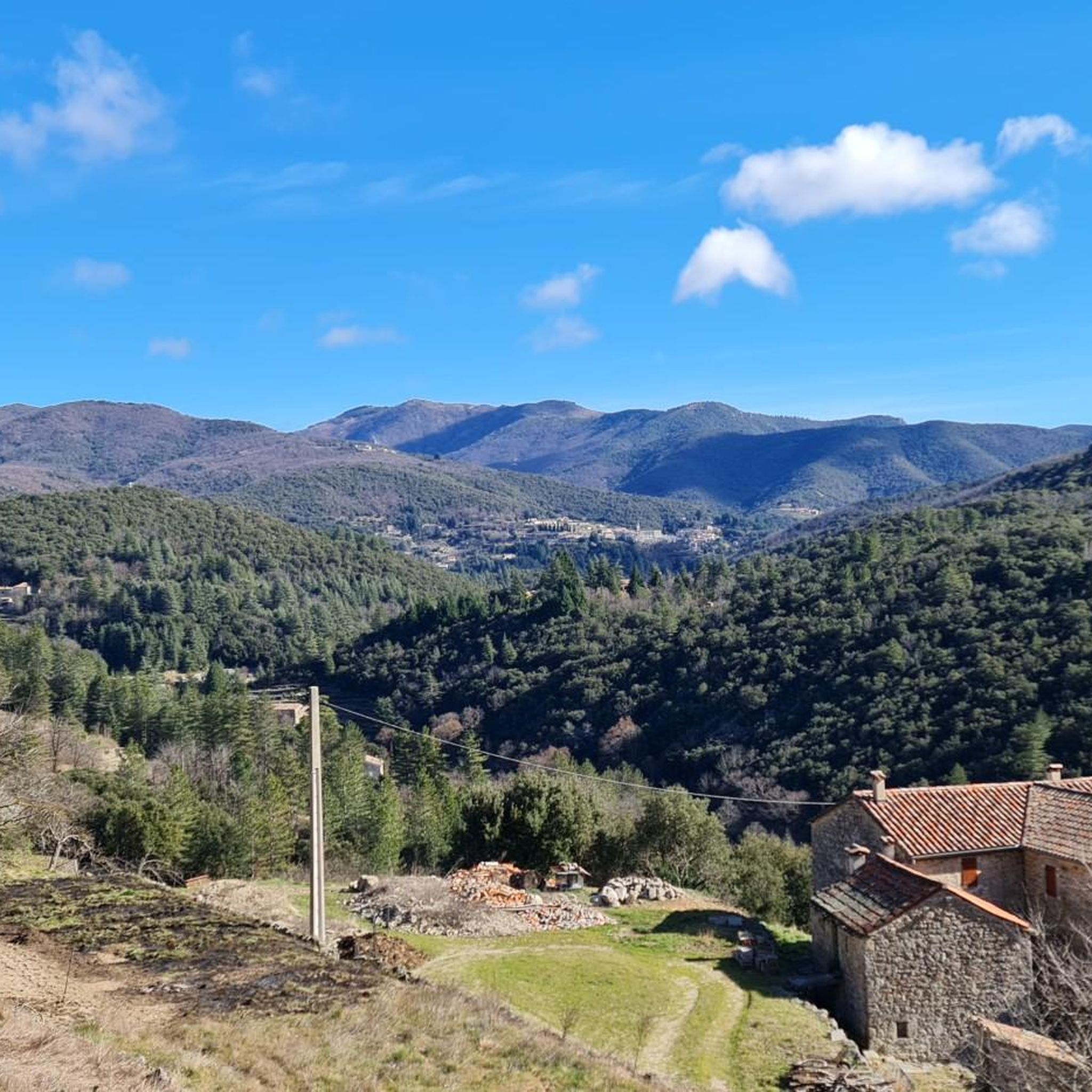
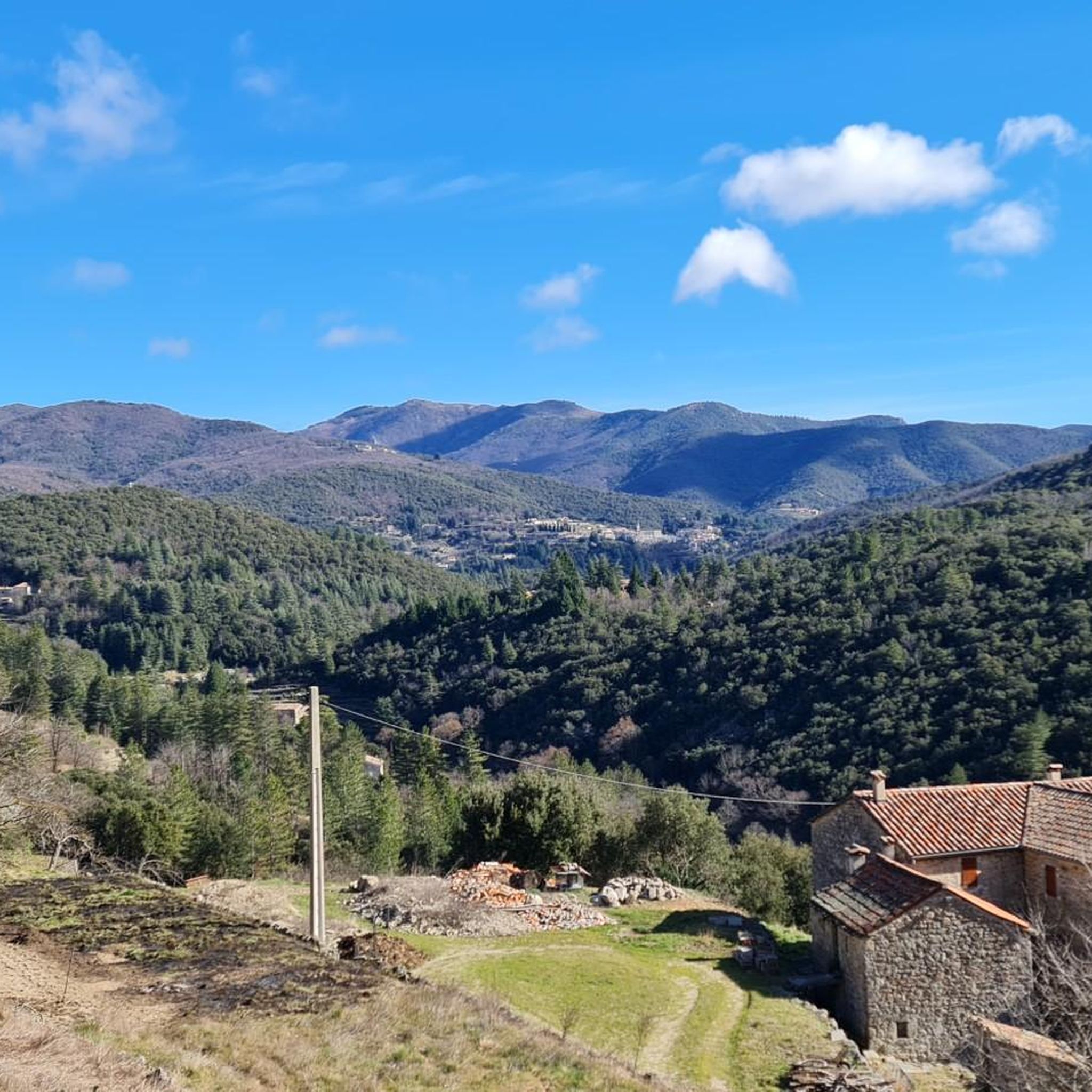
The village being very small gathered in community of communes. Its high bridge is beautifully made and gives access to the village.
0
0

A bench to rest, a panorama and 100 meters further on, a café
1
0

A dream pass in the Cévennes! Very nice place 👍
0
0

Pretty village of St André de Majencoules
0
1
Frequently Asked Questions
What types of hiking trails can I find around Saint-André-de-Majencoules?
The region offers a diverse range of hiking experiences, from easy village loops to more challenging mountain expeditions. You'll find trails traversing ancient granite paths, dense forests of holm oaks and chestnut trees, and historical terraced fields. The elevation in the commune ranges significantly from 180 to 900 meters, providing varied terrain.
Are there any easy or short hiking options suitable for beginners?
Yes, there are several accessible options. For an easy introduction to the area, consider the Saint-André-de-Majencoules loop from Saint-André-de-Majencoules, which is an easy 3.5 km path. The 'Les Rouquis' trail, mentioned in local information, is also an easy 6.1 km loop offering a magnificent walk.
What natural landmarks or viewpoints can I discover on hikes in the area?
Hiking around Saint-André-de-Majencoules offers access to several notable natural features. You can explore the dramatic landscapes of the Cévennes National Park, a UNESCO-listed area. Nearby, you'll find prominent features like Mount Aigoual, known for its mountain characteristics, and the remarkable geological formation of the Cirque de Navacelles. The artificial yet scenic La Vis Waterfall is also a beautiful spot.
Are there any circular hiking routes available?
Yes, the region is well-equipped with marked loop hiking trails. For example, the Serre de la Toureille – Col de Peyrefiche loop from L'Arboux is a moderate 14.3 km circular route. Another option is the more challenging Saint-André-de-Majencoules – Col de Peyrefiche loop from Saint-André-de-Majencoules, which covers 16.6 km through mountainous terrain.
What do other hikers say about the trails in Saint-André-de-Majencoules?
The routes in Saint-André-de-Majencoules are highly rated by the komoot community, with an average score of 4.5 stars from over 500 reviews. Hikers often praise the varied terrain, the blend of challenging ascents and gentler paths, and the stunning Cévennes mountain landscapes.
Are there any hikes that offer views of the terraced fields?
Yes, the village is situated near a river with magnificent terraced fields lining its banks. These distinctive man-made features, historically used for agriculture, are integrated into the natural landscape. Many local trails, especially those closer to the village and river valleys, will offer views of these unique terraces.
What is the best time of year to go hiking in Saint-André-de-Majencoules?
The Cévennes region generally offers pleasant hiking conditions from spring through autumn. Spring brings blooming flora, while autumn showcases vibrant foliage. Given the varied elevation, some higher trails might be more challenging in winter due to weather conditions, but lower-altitude paths can still be enjoyable.
Are there any specific trails that lead to mountain peaks or passes?
Yes, the area provides access to several mountain peaks and passes. You can find trails leading to summits like Mount Aigoual or Anjeau Peak. For mountain passes, options include Minier Pass and Lusette Pass, which are often part of longer routes.
How many hiking trails are there in total around Saint-André-de-Majencoules?
There are over 15 hiking routes available around Saint-André-de-Majencoules, catering to various skill levels. These include 3 easy, 10 moderate, and 2 difficult trails, ensuring options for everyone from casual walkers to experienced hikers.
Are there any other outdoor activities or attractions near the hiking trails?
Beyond hiking, the broader Cévennes region offers activities like kayaking, canyoning, and mountain biking. For a more relaxed experience, the Garden des Sambucs provides an 'ecological paradise' with unique 'stone trees' and a mosaic cave. The village itself also has narrow, often flowered streets worth exploring.
Where can I find information about parking for trailheads?
While specific parking details for every trailhead are not always listed, Saint-André-de-Majencoules is a village well-accustomed to hikers. It's generally advisable to look for designated parking areas within or on the outskirts of the village, especially for routes that start directly from the commune. Local tourist offices can also provide detailed parking information.
Are there any trails that offer views of geological wonders?
Absolutely. The region is rich in geological formations. Besides the Cirque de Navacelles, you can find other natural sites such as the Grotte des Demoiselles, Abîme de Bramabiau, Cirque de Vissec, and Chaos de Nimes-le-Vieux within a reasonable distance, often accessible via hiking trails or short drives from the main routes.
Most popular routes around Saint-André-De-Majencoules
Most popular attractions around Saint-André-De-Majencoules

Get inspired with the komoot mobile app


Explore more
Browse the best Hikes in other regions.
