The best walks and hikes around Rädersdorf
4.6
(1103)
5,751
hikers
368
hikes
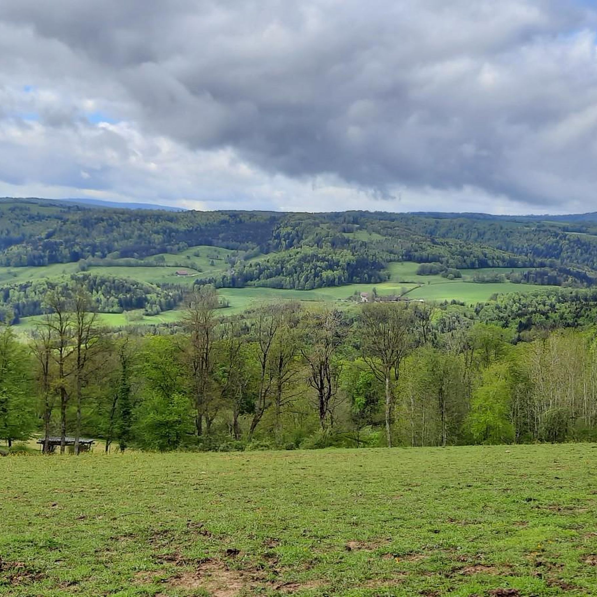
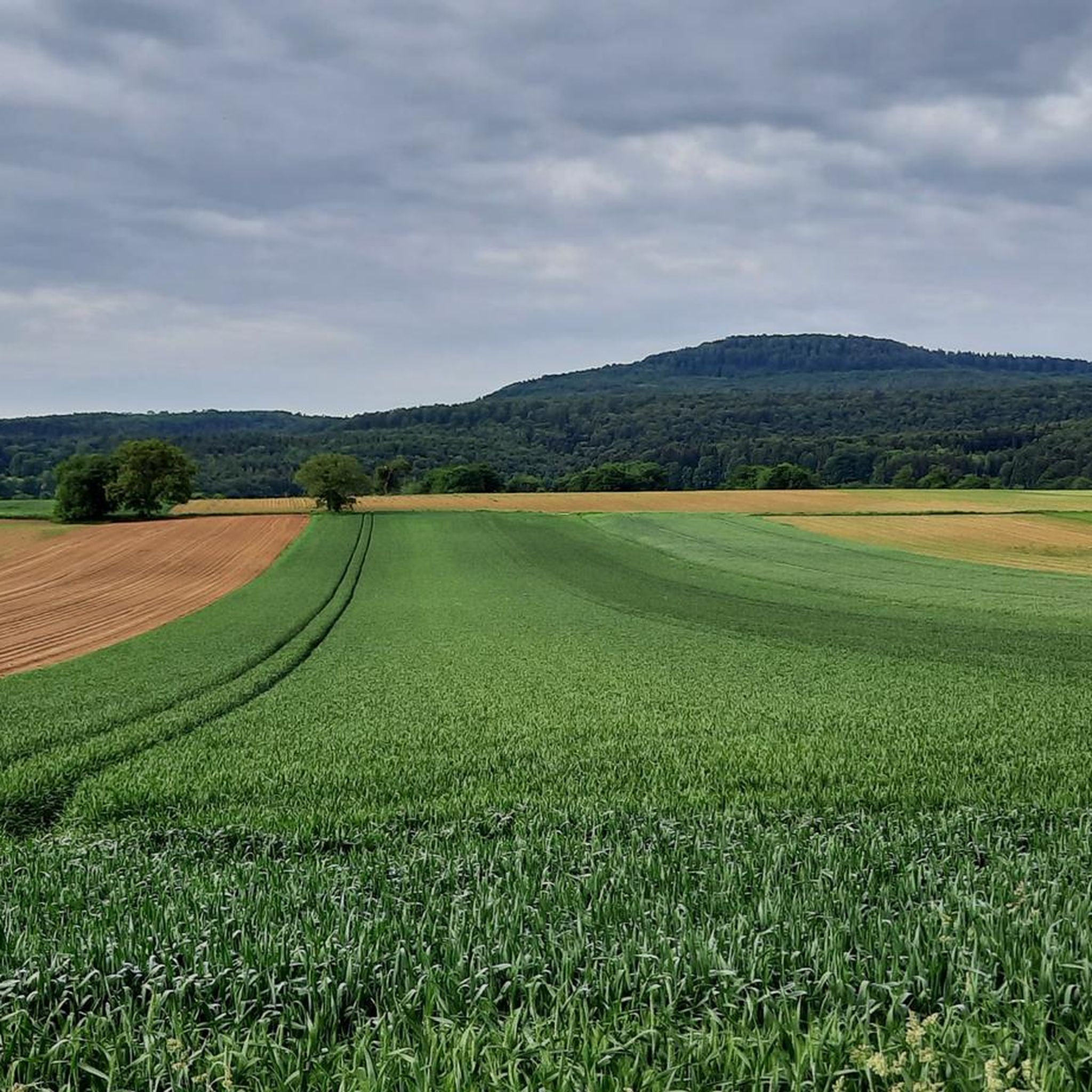
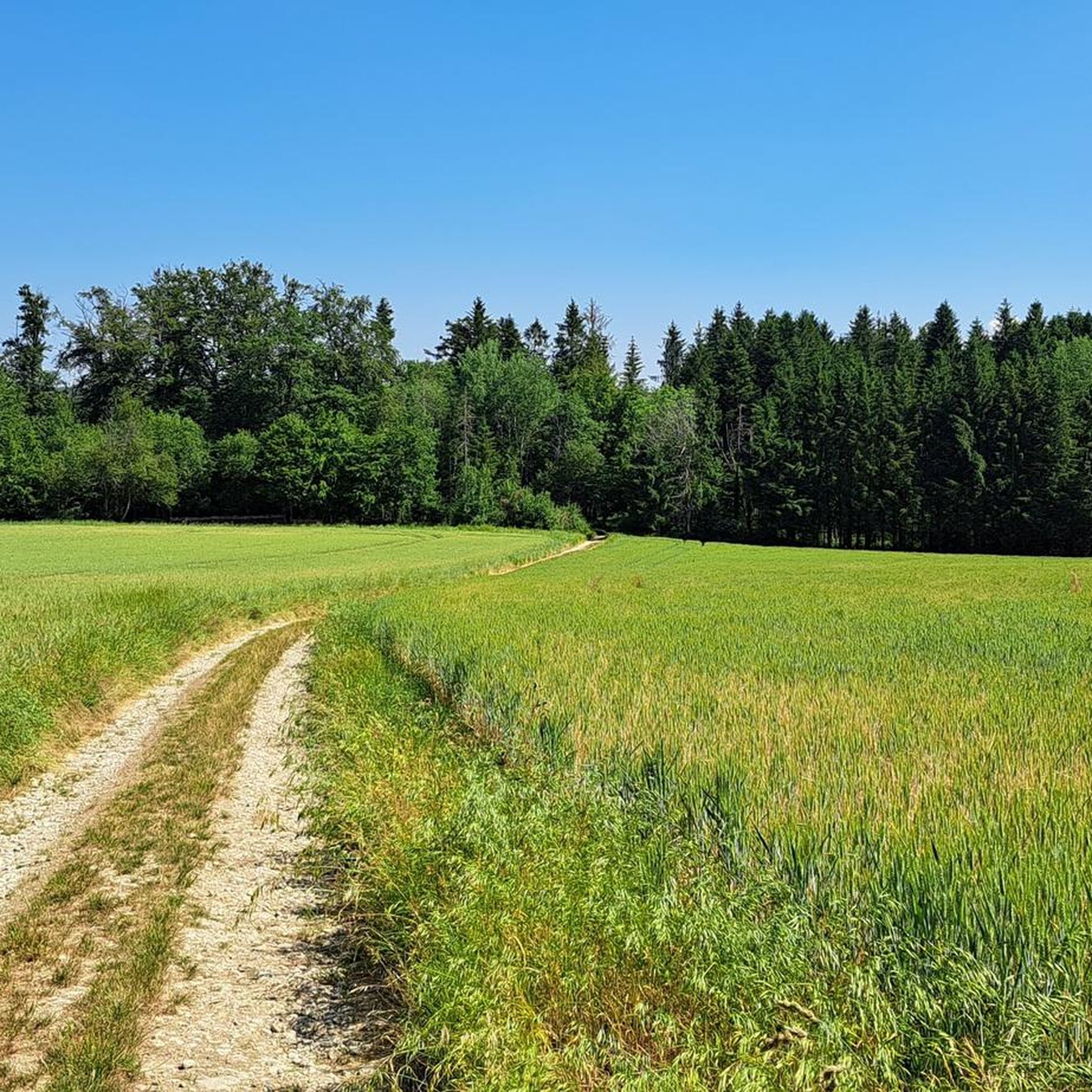
Hiking around Rädersdorf, which encompasses the French commune of Raedersdorf and its Swiss neighbor Rodersdorf, offers diverse landscapes ideal for outdoor exploration. The region is characterized by its position within the Jura Mountains, featuring rolling hills, extensive forests, and picturesque valleys. The upper Ill river flows through Raedersdorf, contributing to the area's natural beauty. Hikers can expect varied terrain, from dense woodlands to open meadows, with opportunities for panoramic views.
Best hiking trails around Rädersdorf
- The most popular hiking route…
Last updated: May 25, 2026
4.5
(2)
30
hikers
3.38km
00:59
90m
90m
Easy hike. Great for any fitness level. Easily-accessible paths. Suitable for all skill levels.
4.7
(7)
16
hikers
12.9km
04:05
460m
460m
Hard hike. Good fitness required. Sure-footedness, sturdy shoes and alpine experience required.

Sign up for free
4.5
(6)
12
hikers
Easy hike. Great for any fitness level. Easily-accessible paths. Suitable for all skill levels.
4.4
(5)
16
hikers
5.61km
01:37
140m
140m
Easy hike. Great for any fitness level. Easily-accessible paths. Suitable for all skill levels.
5.0
(1)
5
hikers
9.98km
02:52
250m
250m
Moderate hike. Good fitness required. Easily-accessible paths. Suitable for all skill levels.
Get access to more routes and recommendations from other explorers.
Sign up for free
Already have an account?
Our route recommendations are based on thousands of hikes, rides, and runs completed by other people on komoot.
Start today with a free account
Your next adventure awaits.
Login or Signup
Tips from the Community

Added to the collection: komoot.com/de-de/collection/3600632/-naturdenkmaeler-besondere-baeume-und-weitere-schaetze-der-natur
0
0


The Blochmont is the perfect Sunday ride pass for a tour through Alsace. Approaching from the north, you'll almost feel like you're in the Tour de France, as the gentle gradient means you can climb really fast. Enjoyable ascents alternate between forest and sunny sections. Reaching the farm at the top means you've completed the climb, though it's certainly not a job; this climb is pure enjoyment.
1
0

A wonderful path! At times it is narrow and overgrown. Very idyllic - but you should still carry out a careful tick check after the hike.
2
0

La Neuneich is a picnic area on the site of an old farm. The name “Neuneich” comes from the “nine oaks” which were lined up next to the farm.
2
0

little break to enjoy this old gentleman
0
0

The “peak” of Horni and at the same time the western part of the Horni pastures with curious and not at all skittish llamas. In addition to the hiking trail on the Crête in a west-east direction, there is also the option of turning north to the Birgmatten or south into the Lützeltal to Neumühle. However, the route south is a bit adventurous and not well cleared everywhere.
0
0
A small rest area at the eastern end of the "Horni" pastures with llamas and alpacas and the best view of the Swiss Jura. Perfect for a little break.
0
0
Frequently Asked Questions
How many hiking trails are available around Rädersdorf?
There are over 370 hiking routes available around Rädersdorf, catering to various skill levels. This includes 128 easy trails, 213 moderate trails, and 32 difficult routes, ensuring options for every hiker.
Are there easy hiking trails suitable for beginners or families in Rädersdorf?
Yes, Rädersdorf offers a good selection of easy hiking trails. For example, the Hiking loop from Raedersdorf is an easy 3.3 km route that takes about an hour, perfect for a gentle introduction to the local landscape. Another accessible option is the Glaserberg Prehistoric Camp – Blauenberg Rocky Forest Trail loop from Kiffis, which is 4.9 km long and also considered easy.
What kind of landscapes can I expect to see while hiking in Rädersdorf?
Hiking in Rädersdorf offers diverse landscapes characteristic of the Jura Mountains. You'll encounter extensive forests, rolling hills, and picturesque valleys, with the upper Ill river flowing through parts of the French commune. The region also provides panoramic views of the Basel area and, from higher points, even glimpses of the Black Forest.
Are there any circular hiking routes in the Rädersdorf area?
Yes, many trails in the Rädersdorf region are designed as circular routes, allowing you to start and end at the same point. Examples include the easy Hiking loop from Raedersdorf and the more challenging Beautiful fireplace – Bunker "Blochmont Est" loop from Sondersdorf.
What historical or natural landmarks can I explore on the trails?
The region is rich in both historical and natural landmarks. Around Rodersdorf, you can find cultural sites like the Sainte-Walburge chapel, Saint-Brice Chapel, and the ruins of Landskron Castle. Natural attractions include Lucelle Lake, the mysterious Dwarves' Grotto, and the impressive Le Gros Chêne de Sondersdorf. You can also visit the Alt-Biederthal Castle Ruins.
What do other hikers say about the trails in Rädersdorf?
The hiking trails in Rädersdorf are highly regarded by the komoot community, with an average rating of 4.6 stars from over 990 reviews. Hikers often praise the well-marked paths, the tranquility of the forests, and the diverse terrain that offers both gentle strolls and more challenging ascents.
Are there any challenging hikes for experienced hikers?
Absolutely. For experienced hikers seeking a challenge, the region offers difficult routes such as the Beautiful fireplace – Bunker "Blochmont Est" loop from Sondersdorf. This 12.9 km trail features significant elevation changes and leads through varied terrain, including historical points of interest.
Can I find trails that offer panoramic views?
Yes, many hikes in the Rädersdorf area, particularly those in the Swiss Rodersdorf part of the region, offer stunning panoramic views. You can expect to see expansive vistas of the Basel region and the broader Jura mountains. On clear days, some elevated points even provide glimpses of the Black Forest in Germany.
How well-maintained are the hiking trails in Rädersdorf?
The area is known for its well-marked and maintained trails. These paths cater to various fitness levels, ensuring a pleasant and safe hiking experience through forests and hills. The komoot community's high ratings often reflect the quality of the trail infrastructure.
Are there opportunities for cross-border hiking in this region?
Given its unique location near the French, German, and Swiss borders, Rädersdorf offers excellent opportunities for cross-border exploration. This allows hikers to experience a blend of different landscapes and cultural influences within a single trip.
What is the typical duration for a moderate hike in Rädersdorf?
Moderate hikes in Rädersdorf can vary in duration depending on the specific route and your pace. For instance, the Blochmont Pass – Blauenberg Rocky Forest Trail loop from Lutter is a moderate 10.0 km trail that typically takes around 2 hours and 52 minutes to complete.
Most popular routes around Rädersdorf
Most popular attractions around Rädersdorf

Get inspired with the komoot mobile app


Explore more
Browse the best Hikes in other regions.
