The best cycling routes around Waldighofen
4.6
(143)
1,334
riders
172
rides
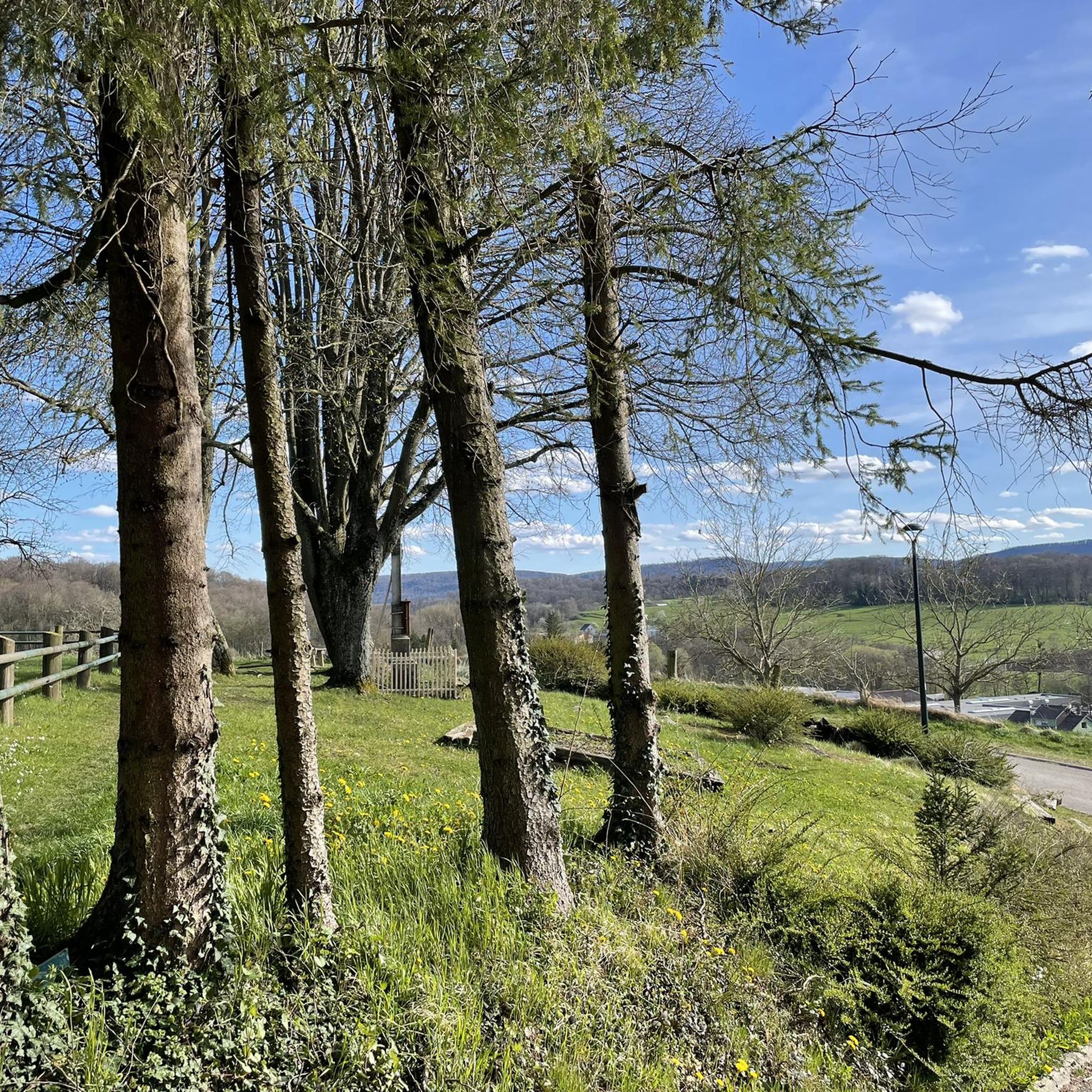
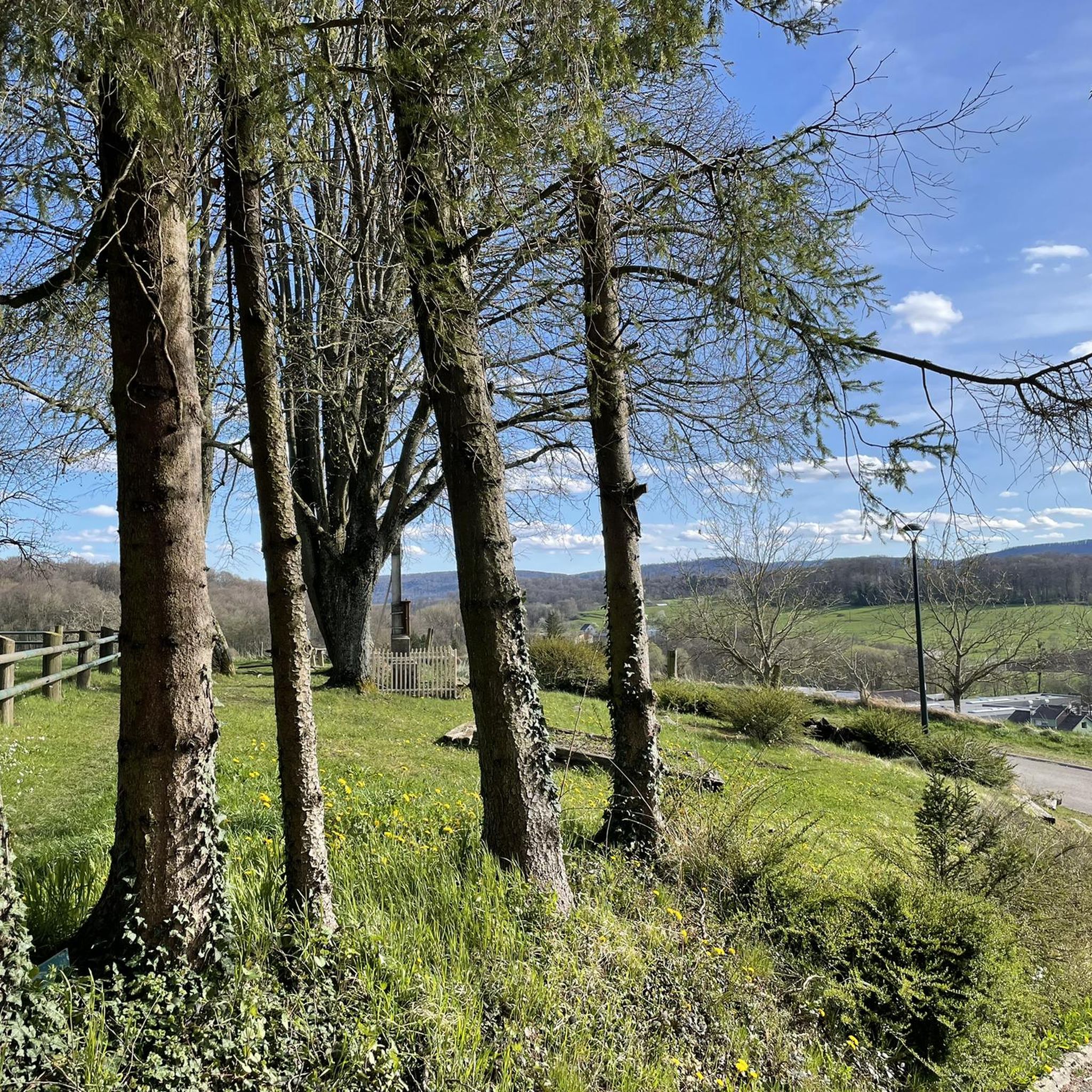
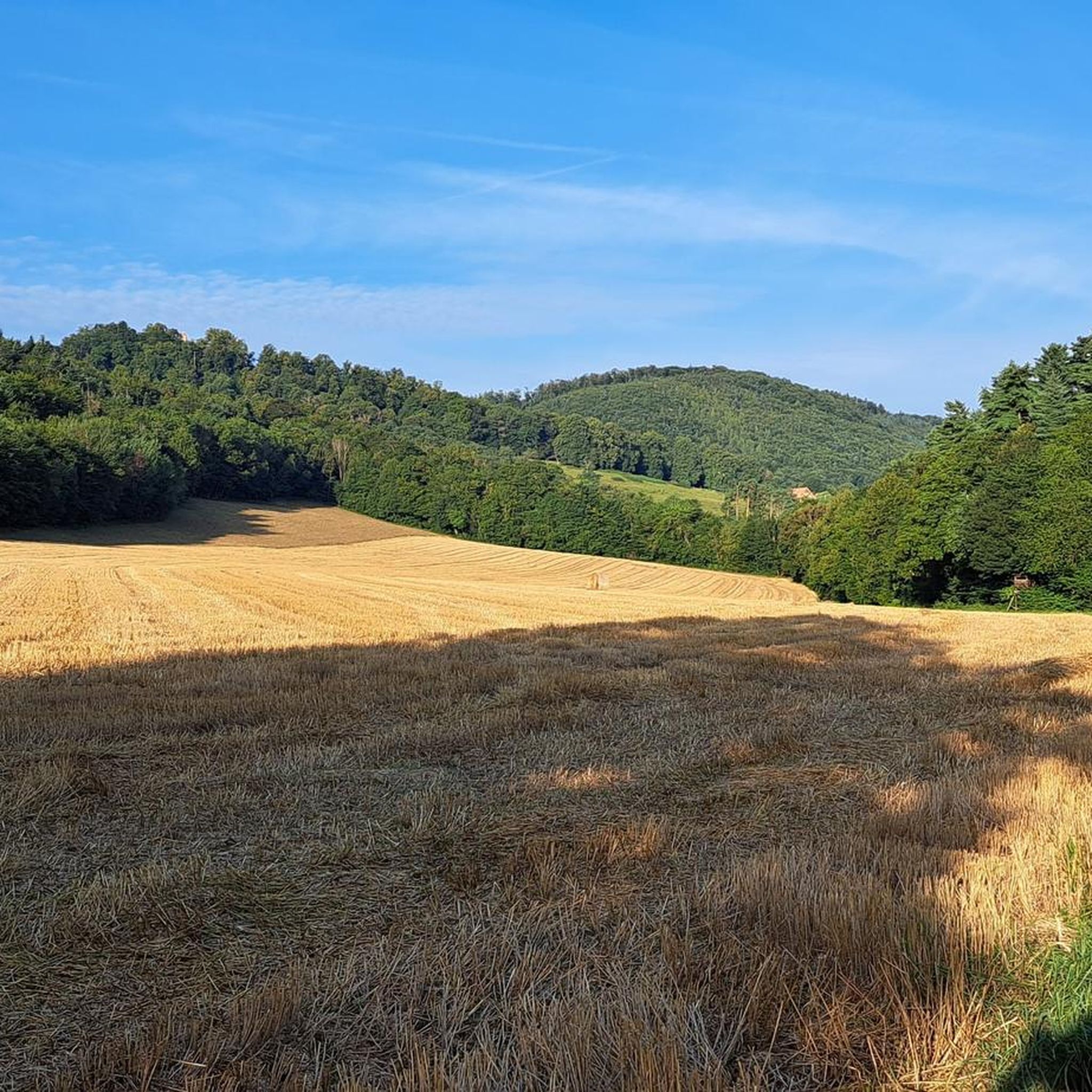
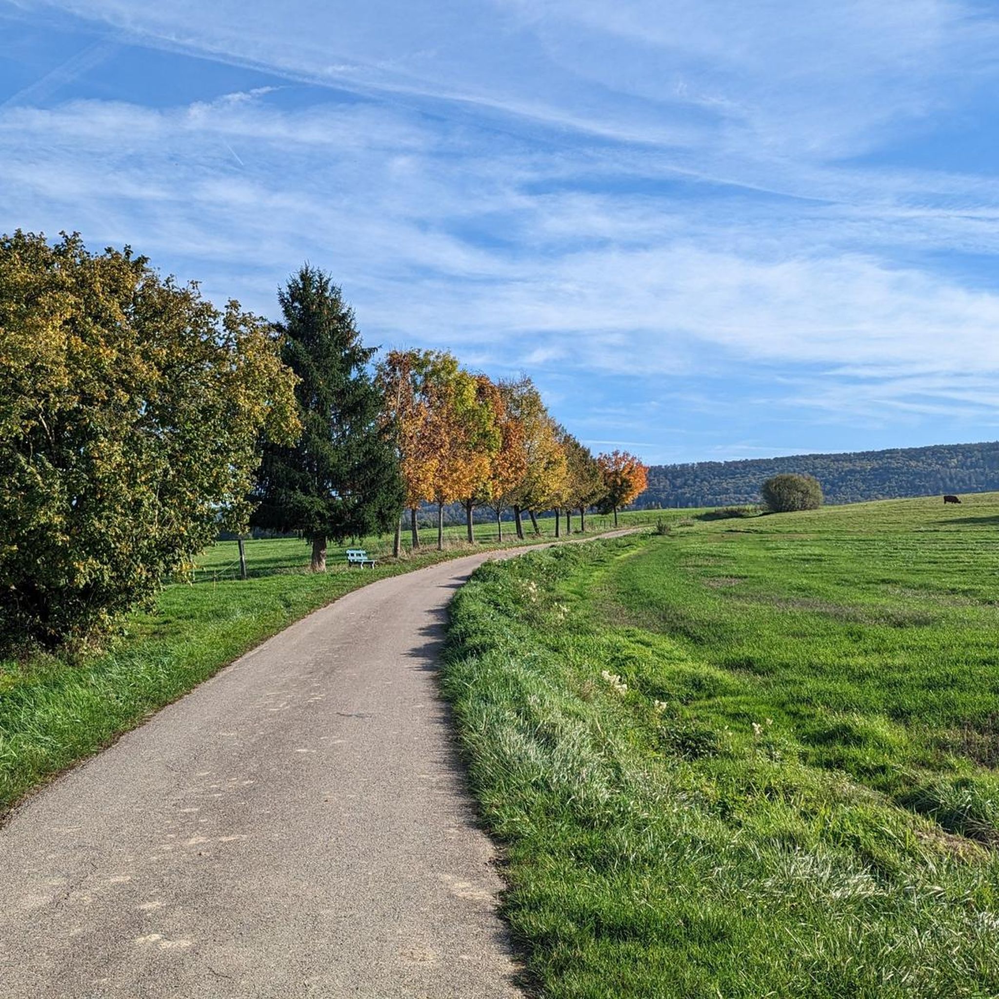
Touring cycling routes around Waldighofen traverse a gently rolling hill landscape in the Sundgau region of northeastern France's Alsace. This area is situated between the Vosges Mountains, the Jura, and the Rhine plain, offering varied topography with elevations typically ranging from 342 to 446 meters. The countryside features a mix of green fields, orchards, and forests, dotted with traditional villages. The Ill River, originating nearby, provides a scenic element, while the Alsatian Jura contributes unique clayey hills to the landscape.
…Last updated: May 15, 2026
4.8
(9)
35
riders
37.8km
02:21
370m
370m
Moderate bike ride. Good fitness required. Mostly paved surfaces. Suitable for all skill levels.
5.0
(1)
30
riders
40.1km
03:12
610m
600m
Hard bike ride. Very good fitness required. You may need to push your bike for some segments of this route.

Sign up for free
5.0
(1)
10
riders
21.8km
01:22
180m
180m
Moderate bike ride. Good fitness required. Mostly paved surfaces. Suitable for all skill levels.
5.0
(1)
15
riders
Moderate bike ride. Good fitness required. Mostly paved surfaces. Suitable for all skill levels.
13
riders
36.3km
03:16
860m
860m
Hard bike ride. Very good fitness required. You may need to push your bike for some segments of this route.
Get access to more routes and recommendations from other explorers.
Sign up for free
Already have an account?
Our route recommendations are based on thousands of hikes, rides, and runs completed by other people on komoot.
Start today with a free account
Your next adventure awaits.
Login or Signup

Tips from the Community

The Saint-Brice Chapel is located between Schwaben and Hausgauen in an idyllic and green setting and currently dates back to 1695.
0
0

Small regional museum in a restored farmhouse in the centre of Oltingue. The museum shows the daily life of farmers in the Sundgau in the 19th and early 20th century. The collection includes utensils, tools, religious objects and furniture, spread over several rooms and an old barn. The original faience stove, a ‘Chunscht’ bench and a baroque outdoor pulpit are striking. Visits are possible from March to November, usually on Tuesdays, Thursdays, Saturdays and Sundays from 15:00 to 18:00.
10
0
The current parish church of Oltingue was built between 1827 and 1831 in late classicist style. Striking features include the triangular pediment above the round-arched portal and the Callinet organ from 1843, which is still in use. Together with the presbytery and the former school, the church forms a well-preserved village ensemble from the Louis-Philippe period. The church replaced an older mother church outside the village.
11
0
Oltingue is a quiet village in the Sundgau with a late-classical village ensemble around the church of Saint-Martin (1827–1831), the rectory and the former school. The Callinet organ (1843), the double staircase of the rectory and the facade details are striking. There are several historic houses in the village, including half-timbered houses from 1695 and a farm from the 16th century. To the east lies the chapel of Saint-Brice, a former place of pilgrimage with a baroque altar and an outdoor pulpit.
10
0
Raedersdorf is located in the southernmost part of Alsace, in the hilly landscape of the Sundgau, close to the Swiss border. The village is surrounded by forests, springs and hiking trails leading to heritage sites such as the Église Saint-Étienne with its baroque interior and Callinet organ, and the Mariabrunn chapel in the forest. Its location between French-speaking and German-speaking Switzerland makes Raedersdorf a place where cultures come together.
8
0
The church of Raedersdorf was built in its present form between 1807 and 1811, on the foundations of an older church, the tower of which has been partly preserved. The interior was richly decorated in 1811 by sculptor Joseph Antoine Feuerstein, with a harmonious baroque ensemble. The organ was also built in the same year by Jean Frantz. The church was finally consecrated in 1851. It is located in the centre of the village, close to the town hall, and is a silent witness to religious art and village history in the south of Alsace.
10
0

Frequently Asked Questions
How many touring cycling routes are available around Waldighofen?
There are over 180 touring cycling routes around Waldighofen, offering a wide variety of options for different preferences and skill levels. The komoot community has explored these routes over 1400 times, giving them an average rating of 4.6 stars.
What are the different difficulty levels for touring cycling routes in the Sundgau region?
The touring cycling routes around Waldighofen cater to various abilities. You'll find 16 easy routes, 99 moderate routes, and 67 difficult routes. The region's gently rolling hills provide an undulating cycling experience, suitable for both leisurely rides and more challenging excursions.
Are there easy touring cycling routes suitable for beginners or families?
Yes, there are 16 easy touring cycling routes around Waldighofen. The region is known for its 'undulating' terrain, but many paths follow river valleys or old railway lines, offering gentler gradients. For example, the 'Ill Valley cycle route' is described as an easy 18km 'Nature and heritage trail' with manageable elevation gain, making it suitable for all cycling levels.
What natural features or landmarks can I see while cycling in the Sundgau region?
The Sundgau region offers a picturesque tapestry of green fields, orchards, and forests. You can explore the unique clayey hills of the Alsatian Jura, follow the scenic Ill River, or discover natural monuments. Notable natural highlights include the Dwarves' Grotto, Le Gros Chêne de Sondersdorf, and the Source de l'Ill.
Are there any historical sites or points of interest along the touring cycling routes?
Yes, the region is dotted with traditional villages and historical sites. You might encounter the Blochmont Pass, the Saint-Brice Chapel, or the impressive Ferrette Castle. The route Fislis – Ferrette Castle and Pond loop from Roppentzwiller specifically features views towards historical sites like Ferrette Castle.
What is the best time of year for touring cycling around Waldighofen?
The Sundgau region is generally pleasant for cycling from spring through autumn. The picturesque tapestry of green fields, orchards, and forests is particularly vibrant during these seasons. The 'Ill Valley cycle route' is noted for its shady journey, which can be a welcome feature during warmer months.
Are there any circular touring cycling routes available?
Yes, many routes in the area are designed as loops. For instance, the Roman road loop from Waldighofen is a popular 21.5 km trail that allows you to start and end in the same location. Another option is the The Ill in Hirsingue – Former Hirtzbach station loop from Riespach.
How can I reach Waldighofen by public transport with my bike?
While specific bike transport details for Waldighofen are not provided, the broader Sundgau region is accessible. For detailed information on public transport options that accommodate bicycles, it's best to consult local transport authorities or the regional tourism website: Alsace Tourism - Sundgau Cycling.
Is there parking available near the touring cycling routes in Waldighofen?
Yes, Waldighofen and the surrounding villages typically offer parking facilities, often near trailheads or village centers, making it convenient to start your cycling tour. Many routes, like the Bridge and fountain in Oltingen – Farm Museum loop from Waldighoffen, are designed to be accessible from local starting points.
What do other touring cyclists enjoy most about cycling in Waldighofen?
The area is highly rated by the komoot community, with an average score of 4.6 stars from over 130 reviews. Reviewers often praise the varied topography, from river valleys to rolling hills, and the blend of physical activity with scenic beauty and cultural immersion. The peaceful countryside, traditional villages, and well-maintained paths are frequently highlighted.
Are there any particularly challenging touring cycling routes in the area?
Yes, for experienced cyclists seeking a challenge, there are 67 difficult routes. These routes often feature significant elevation gains and varied terrain. An example is the Chemin de l'Alte Strasse – Ferrette Castle and Pond loop from Roppentzwiller, which includes substantial climbs and descents.
Can I find cafes or restaurants along the cycling routes?
The Sundgau region is known for its traditional villages, many of which offer local cafes, bakeries, and restaurants where you can stop for refreshments or a meal. While specific establishments aren't listed for every route, planning your tour through these villages will provide opportunities for breaks.
Most popular routes around Waldighofen
Most popular attractions around Waldighofen

Get inspired with the komoot mobile app


Explore more
Browse the best Cycling routes in other regions.
