The best walks and hikes around Palau-De-Cerdagne
4.4
(830)
7,990
hikers
432
hikes
Hiking around Palau-De-Cerdagne offers access to a diverse natural landscape within the Pyrénées-Orientales department. The region is characterized by mountains, valleys, forests, and high-altitude lakes, providing varied terrain for outdoor activities. Situated within the Cerdanya area, it features landscapes ranging from low plateaus to peaks over 2900 meters, including the Puigmal d'Er summit. This area provides a mix of open, panoramic trails and forested paths.
Best hiking trails around Palau-De-Cerdagne
- The most popular hiking route is Mas Tartàs – Belvédère…
Last updated: June 25, 2026
4.7
(9)
102
hikers
8.78km
02:40
310m
310m
Moderate hike. Good fitness required. Easily-accessible paths. Suitable for all skill levels.
4.3
(3)
32
hikers
15.2km
04:36
520m
520m
Moderate hike. Good fitness required. Easily-accessible paths. Suitable for all skill levels.

Sign up for free
5.0
(3)
28
hikers
5.43km
01:29
90m
90m
Easy hike. Great for any fitness level. Easily-accessible paths. Suitable for all skill levels.
4.5
(2)
34
hikers
7.43km
02:01
100m
100m
Moderate hike. Good fitness required. Easily-accessible paths. Suitable for all skill levels.
5.0
(1)
21
hikers
10.5km
03:36
570m
570m
Moderate hike. Good fitness required. Easily-accessible paths. Suitable for all skill levels.
Get access to more routes and recommendations from other explorers.
Sign up for free
Already have an account?
Our route recommendations are based on thousands of hikes, rides, and runs completed by other people on komoot.
Start today with a free account
Your next adventure awaits.
Login or Signup
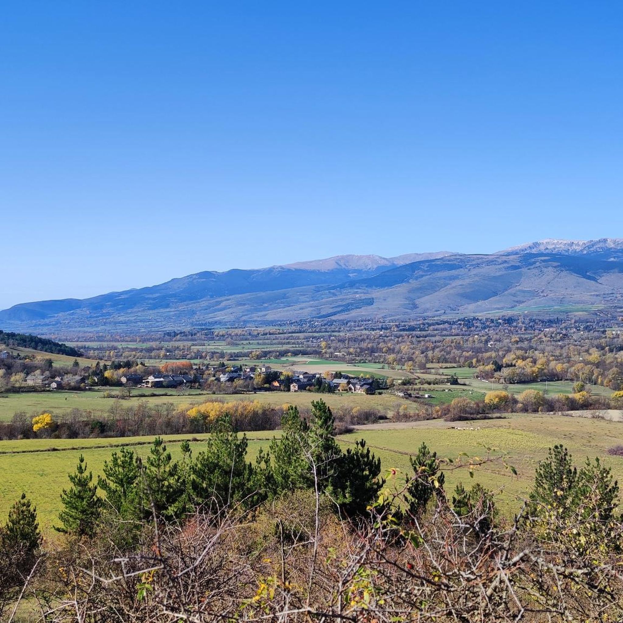
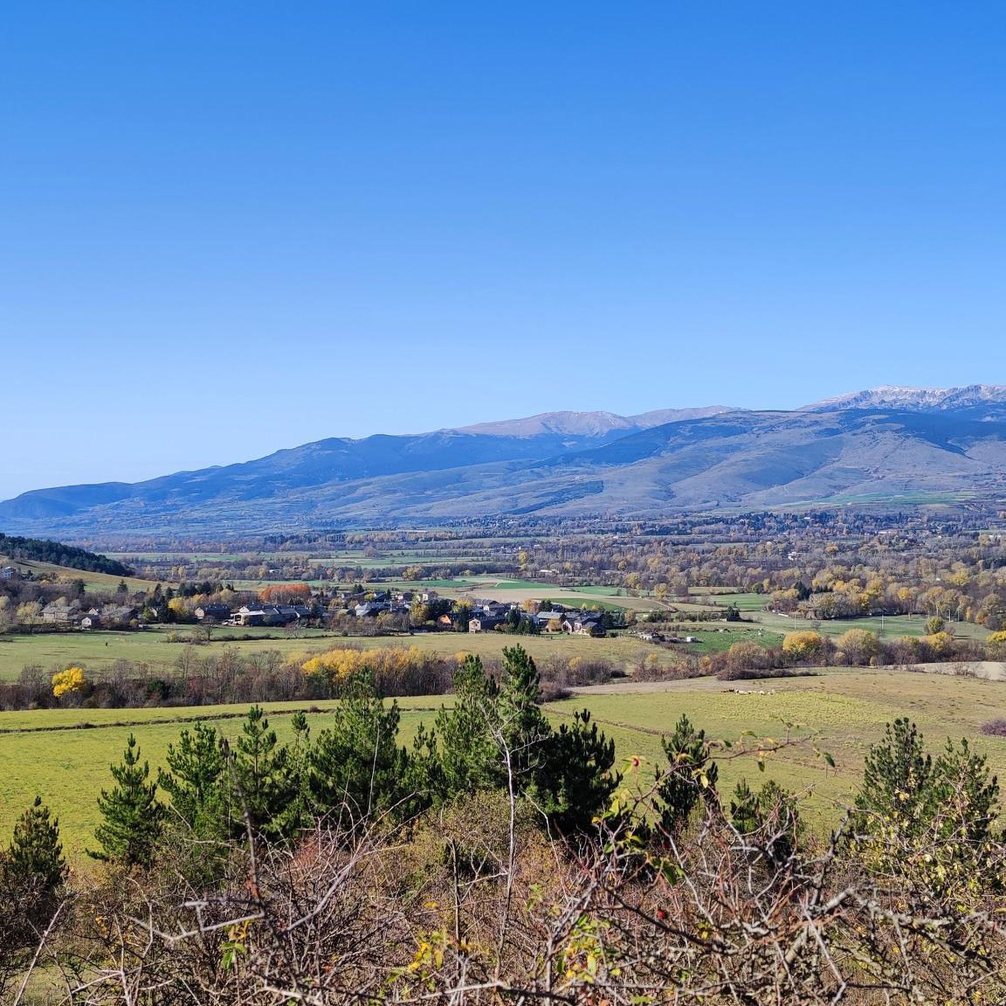
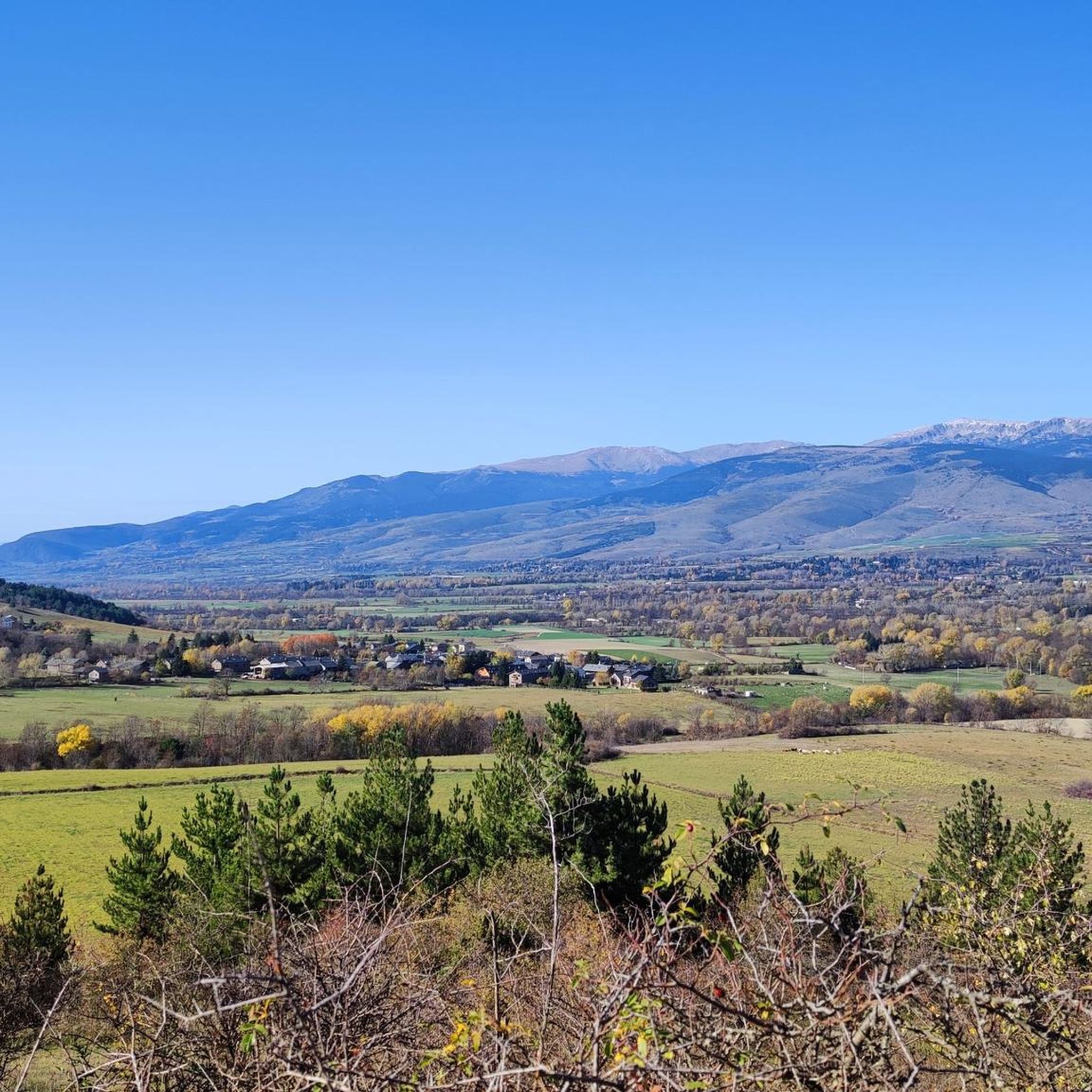

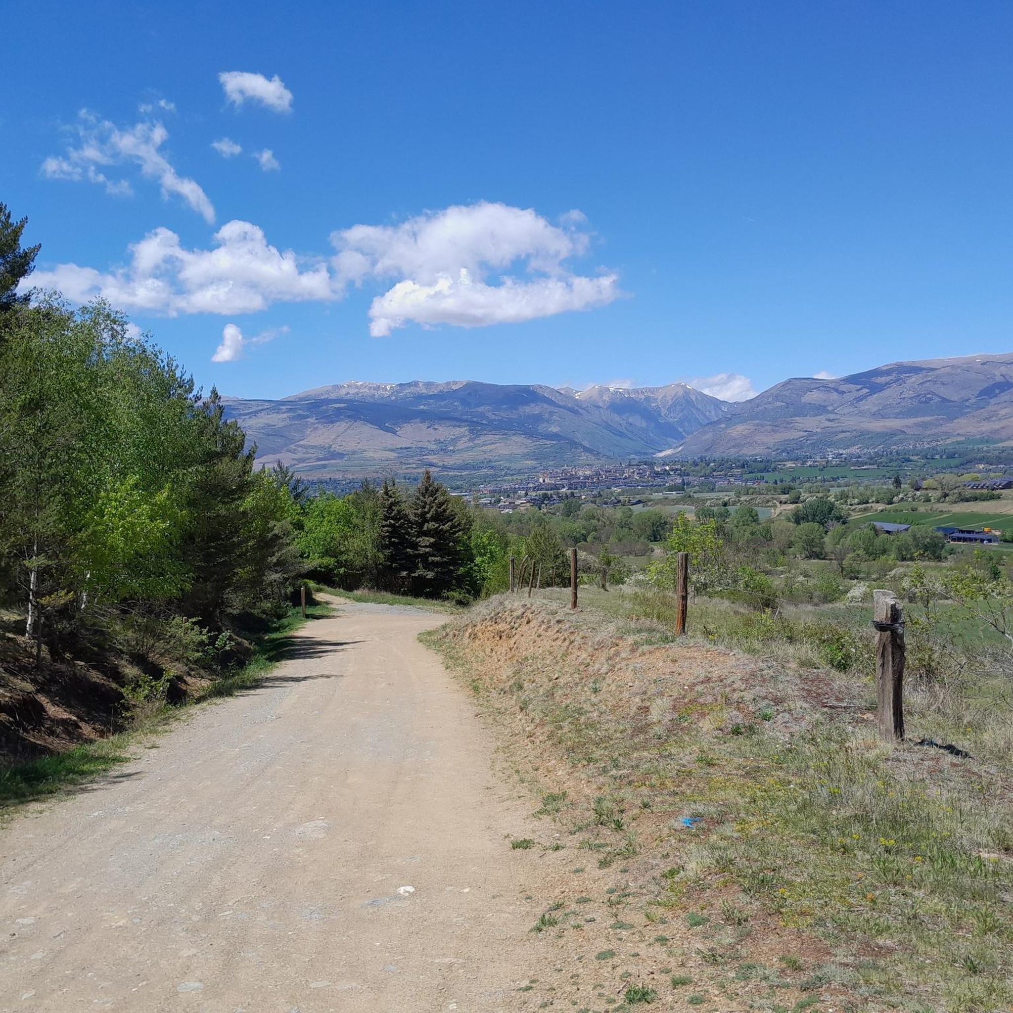
Tips from the Community

Very nice area, near the Spanish/French border
2
0
Very nice area, near the Spanish/French border
2
0
Very nice shady forest path.
2
0

The Nahuja belvedere allows you to take in the entire Cerdanya ditch in one glance. The Carol glacial valley offers itself to the eye from another perspective. We can also observe there, dug into the plateau carrying the Carlit ponds, the glacial valley of Angoustrine. The mountains that surround it have frozen the shape of the tongue of ice that came from it. These reliefs show several generations of moraines, recognizable by the state of alteration of the material of which they are composed. Towards the West, the gaze flees towards the Spanish Cerdanya. The effects of the Têt fault extend to the surroundings of Seu d'Urgell.
1
0
Don't hesitate to take a little detour via the Popy belvedere while crossing Osséja. The small path called “Sentier des orgues” which goes up towards the Popi allows you to tell the story of the Cerdagne ditch. It winds through *badlands*, areas where erosion is still very active, dug in the deposits torn from the reliefs and deposited at the foot of the reliefs. These orange deposits are those of the Miocene of Cerdanya, named after the geological period in which they were deposited. These are fine, reddish deposits alternating with beds of pebbles and schists.
1
0

Just have good legs to ride beautiful landscape and hello horses
1
0

The lake was created in 1955/60 and is rich in fish (trout). The beautiful hike there is suggested by the local tourist office (PR 2 - LE LAC DU PASSET).
2
0
Frequently Asked Questions
How many hiking trails are available around Palau-De-Cerdagne?
The region around Palau-De-Cerdagne offers a vast network of over 420 hiking trails. These routes cater to various skill levels, from easy walks to challenging full-day treks, ensuring there's something for every hiker.
What kind of terrain and landscapes can I expect on hikes near Palau-De-Cerdagne?
Hikes around Palau-De-Cerdagne traverse a diverse natural landscape, including mountains, valleys, forests, and high-altitude lakes. You'll encounter open, panoramic, and sunny landscapes, as well as paths through various forests. The Cerdanya area, where Palau-De-Cerdagne is located, ranges from low plateaus to peaks over 2900 meters, offering exceptional ecological diversity.
Are there easy hiking options suitable for beginners or casual walkers?
Yes, there are many easy hiking options. For instance, the Osséja loop from Osséja is an easy 5.5 km (3.4 miles) trail that takes about 1 hour 30 minutes, leading through local forests and open areas. Overall, there are 134 easy routes available.
Are there challenging hikes for experienced trekkers in the region?
Absolutely. For experienced trekkers, the region offers 47 difficult routes. The Puigmal d'Er Summit, at 2,909.8 meters, is a significant draw, offering panoramic views from its broad peak. High-altitude lakes and mountain passes also provide more strenuous options.
What are some notable natural features or landmarks to see while hiking?
The region is rich in natural beauty. You can explore the Puigmal d'Er Summit for breathtaking views, or visit the protected natural site of Lac des Bouillouses. The Eina Valley is also known for its exceptional flora and fauna. Hikers often encounter diverse forests, high-altitude lakes, and abundant wildlife.
Are there any circular hiking routes available?
Yes, many of the trails around Palau-De-Cerdagne are designed as circular routes. An example is the moderate Turó Pujamil loop from Osséja, which covers 10.2 km (6.3 miles) with significant elevation gain, offering a rewarding experience.
Is Palau-De-Cerdagne a good destination for family-friendly hikes?
Yes, the region offers trails suitable for families. With 134 easy routes, you can find paths that are less strenuous and shorter in duration, allowing families to enjoy the natural beauty together. The diverse terrain ensures there are options for various ages and abilities.
What is the best time of year to go hiking in Palau-De-Cerdagne?
The region is a year-round destination for outdoor enthusiasts. While summer and autumn offer ideal conditions for most hikes with pleasant weather and vibrant colors, spring brings blooming flora. Even in winter, activities like snowshoeing and ski hiking are popular, especially near refuges like Niu de l'Àliga Refuge.
What do other hikers enjoy most about hiking in Palau-De-Cerdagne?
The area is highly rated by the komoot community, with an average score of 4.4 stars from over 700 reviews. Hikers often praise the diverse terrain, ranging from open, panoramic trails to forested paths, and the stunning high mountain peaks and lakes. The variety of routes for all ability levels is also frequently highlighted.
Are there any specific routes that offer panoramic viewpoints?
Yes, many routes provide excellent viewpoints. The Belvédère de la Popy – Nahuja lookout loop from Osséja is a popular moderate trail featuring sustained climbs and panoramic viewpoints over the valley. The Puigmal d'Er Summit also offers expansive, panoramic views.
Are there options for hiking without a car, using public transport?
While specific public transport links to all trailheads can vary, the region is known for its accessibility. Some popular routes, like the 'Yellow Train day hike,' follow railway lines, suggesting public transport options might be available for certain areas. It's advisable to check local transport schedules for specific trail access.
Are there any mountain refuges or huts for hikers in the area?
Yes, the Niu de l'Àliga Refuge, situated at 2510 meters, is a vital stop for hikers, especially those undertaking longer routes like the 'Cavalls del Vent'. It provides a high mountain base and is also popular with skiers in winter.
Most popular routes around Palau-De-Cerdagne
Most popular attractions around Palau-De-Cerdagne

Get inspired with the komoot mobile app


Explore more
Browse the best Hikes in other regions.
