The best road cycling routes around Saint-Forgeux
4.4
(78)
2,031
riders
164
rides
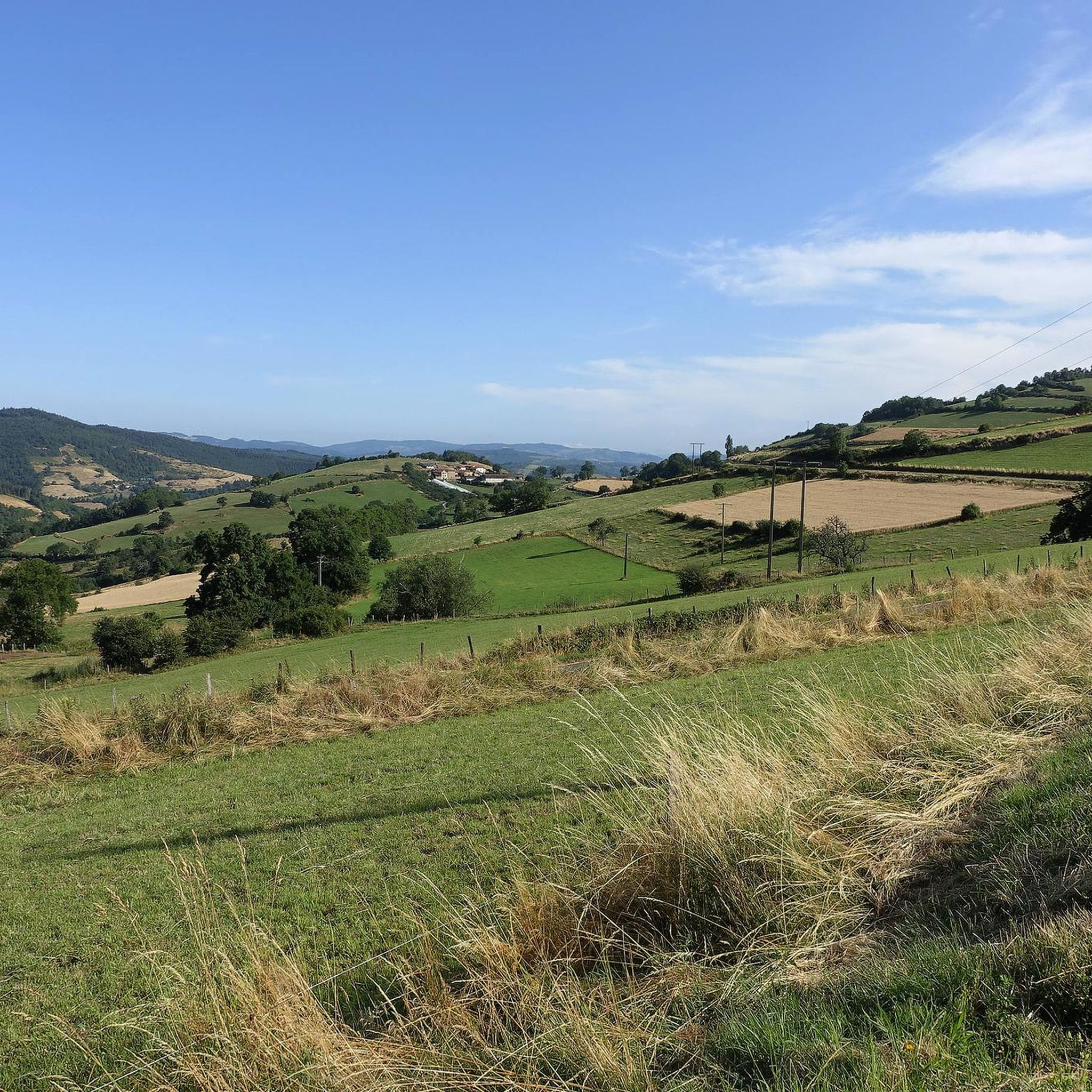
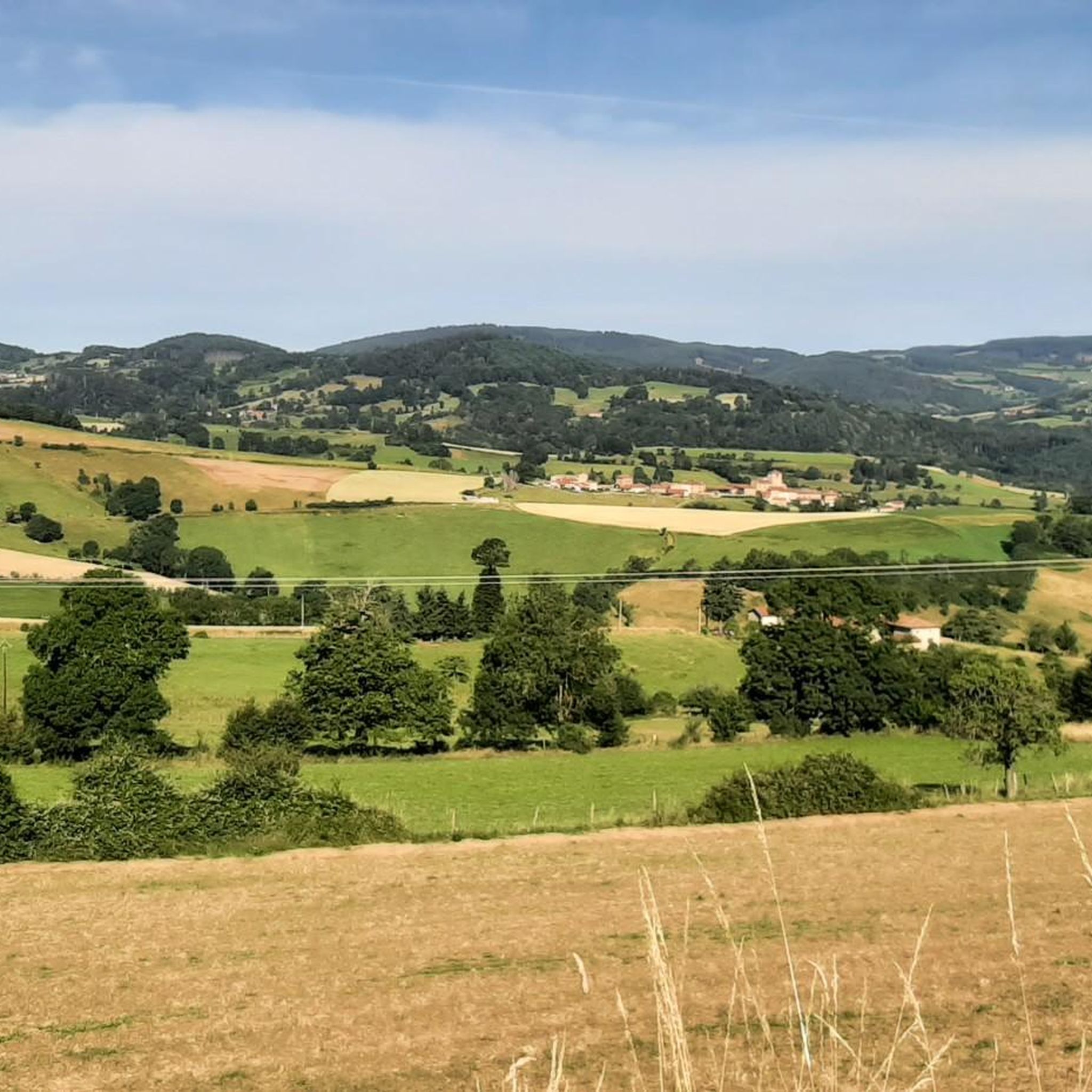
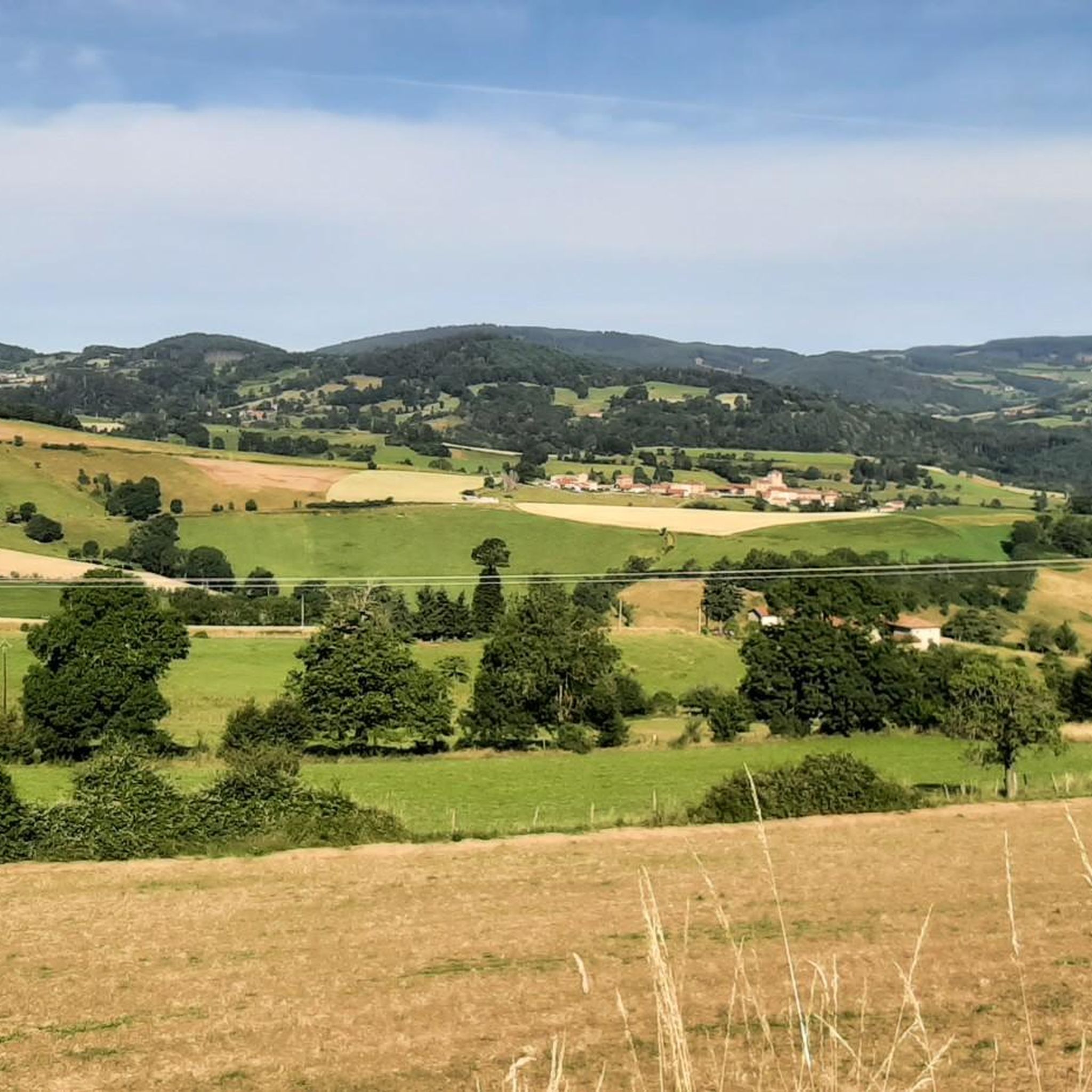
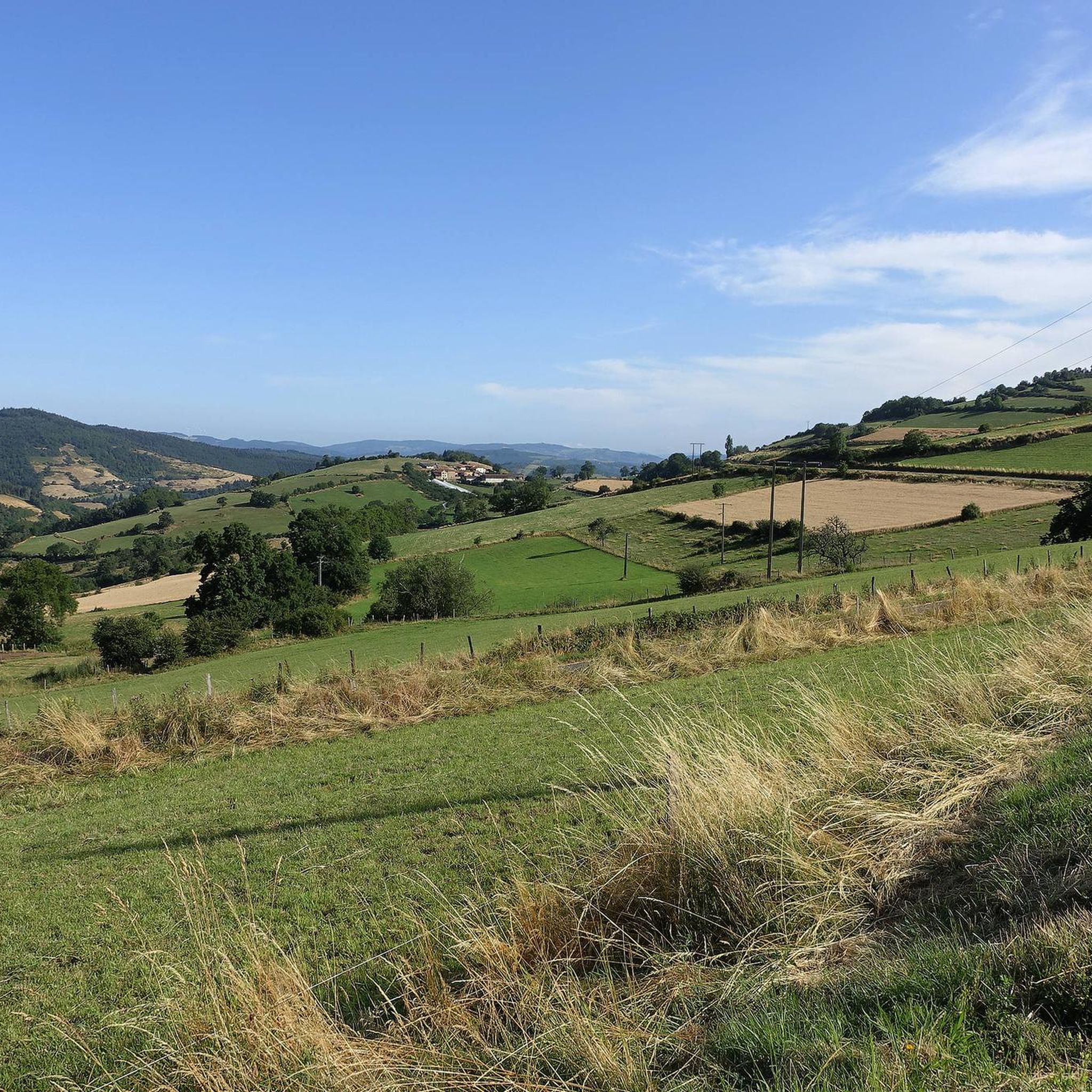
Road cycling routes around Saint-Forgeux are characterized by the hilly terrain of the Tarare mountains and the broader Monts du Lyonnais. This region, located approximately 25 miles (40 km) north-west of Lyon, features a green, undulating landscape with significant elevation changes. The area provides varied routes suitable for road cyclists seeking both challenge and scenic beauty, with its highest point being Roche Billet. The Beaujolais massif offers rolling hills, forests, and expansive rural landscapes, providing a dynamic riding experience.
Best…
Last updated: July 1, 2026
41
riders
Moderate road ride. Good fitness required. Mostly well-paved surfaces and easy to ride.
2.0
(1)
30
riders
44.9km
02:23
810m
810m
Moderate road ride. Good fitness required. Mostly well-paved surfaces and easy to ride.

Sign up for free
5.0
(1)
35
riders
60.1km
03:07
1,040m
1,040m
Hard road ride. Very good fitness required. Mostly well-paved surfaces and easy to ride.
3.7
(3)
22
riders
71.3km
03:41
1,220m
1,220m
Hard road ride. Very good fitness required. Mostly well-paved surfaces and easy to ride.
4.5
(2)
32
riders
52.0km
02:38
810m
810m
Moderate road ride. Good fitness required. Mostly well-paved surfaces and easy to ride.
Get access to more routes and recommendations from other explorers.
Sign up for free
Already have an account?
Our route recommendations are based on thousands of hikes, rides, and runs completed by other people on komoot.
Start today with a free account
Your next adventure awaits.
Login or Signup
Tips from the Community

To see the Matagrin tower on the summit of mount Bessuivre
0
0


Some might pass by this small, sacred monument without a second glance, but perhaps a passing biker might pause for a moment before the cross and, in keeping with ancient custom, utter a "Praised be Jesus Christ." Jesus Christ died for us on the cross, for the Son of God took this death upon himself out of love for us. Christiane Völkel offers a further reflection on this: "I have discovered that it benefits my relationship with God to at least be ready for those moments when God needs me to express his love [today]."
1
0

A crossroads, with a very beautiful willow tree, which offers several nice routes for amateur cyclists.
0
0

An essential landmark in the region for cyclists
0
0


Pass which joins Valsonne and Tarare.
0
0
Frequently Asked Questions
How many road cycling routes are available around Saint-Forgeux?
There are over 160 road cycling routes around Saint-Forgeux, offering a wide variety of options for different skill levels. The region is highly rated by the komoot community, with an average score of 4.4 stars from more than 60 reviews.
What kind of terrain can I expect when road cycling in Saint-Forgeux?
Road cycling in Saint-Forgeux is characterized by the green, hilly terrain of the Tarare mountains and the broader Monts du Lyonnais. You can expect winding roads with significant elevation changes, offering both challenging climbs and scenic beauty. The highest point in the commune is Roche Billet.
Are there easy road cycling routes suitable for beginners in Saint-Forgeux?
While the region is known for its hilly terrain, there are a few easier road cycling routes available. These routes typically feature less elevation gain and shorter distances, making them suitable for beginners or those looking for a more relaxed ride.
Where can I find challenging road cycling routes with significant climbs?
Saint-Forgeux is an excellent destination for challenging road cycling, with over 80 difficult routes. For a demanding ride, consider the Le Saule d'Oingt – Le Saule d'Oingt loop from Pontcharra - Saint-Forgeux, which covers 57.1 km with over 900 meters of elevation gain. Another challenging option is the Col des Cassettes (622 m) – Col de la Croix de l'Orme loop from Pontcharra - Saint-Forgeux, featuring over 1000 meters of ascent.
Are there circular road cycling routes available in Saint-Forgeux?
Yes, many of the road cycling routes in Saint-Forgeux are designed as loops, allowing you to start and finish in the same location. Examples include the Col de la Croix Paquet (598 m) – Croix Paquet Pass (598 m) loop from Pontcharra - Saint-Forgeux and the Oingt – Oingt loop from Pontcharra - Saint-Forgeux.
What scenic viewpoints or attractions can I discover along road cycling routes in Saint-Forgeux?
The region offers numerous scenic viewpoints and attractions. You can encounter mountain passes like Col de la Croix de Mazieux or Col de la Croix Paquet (598 m). Other points of interest include the Glay Quarries, a classified Sensitive Natural Area, and the Beaujolais Vert Wind Farm, which offers a unique sight.
Are there any historical or cultural points of interest near the cycling routes?
Yes, the area is rich in history. You might pass by the historic village of Ternand, known for its 12th-century castle ruins and Carolingian frescoes. The oldest chapel in the Tarare region, Chapelle de Grevilly, is also nearby, offering a glimpse into the area's past.
What is the best time of year for road cycling in Saint-Forgeux?
The best time for road cycling in Saint-Forgeux is generally from spring to autumn, when the weather is mild and the landscapes are lush. Summers are pleasant, but spring and autumn offer cooler temperatures ideal for tackling the region's hilly terrain.
Is there parking available for road cyclists in Saint-Forgeux?
While specific designated cycling parking areas are not detailed, Saint-Forgeux, as a rural commune, typically offers public parking options within the village or near popular starting points for outdoor activities. It's advisable to check local signage upon arrival.
Can I reach Saint-Forgeux by public transport to start a cycling route?
Saint-Forgeux is located approximately 40 km north-west of Lyon. While direct public transport options might be limited, you can likely reach nearby larger towns by regional transport and then cycle to Saint-Forgeux. Planning your journey in advance is recommended.
Are there places to stop for refreshments or food along the road cycling routes?
The region around Saint-Forgeux, including the village itself and surrounding communes, offers various small cafes, bakeries, and restaurants where you can stop for refreshments. These local establishments are perfect for a break and to experience regional hospitality.
What do other road cyclists say about their experience in Saint-Forgeux?
The komoot community highly rates road cycling in Saint-Forgeux, with an average score of 4.4 stars from over 60 reviews. Cyclists often praise the varied terrain, the beautiful green landscapes, and the challenging yet rewarding climbs through the Monts du Lyonnais.
Most popular routes around Saint-Forgeux
Most popular attractions around Saint-Forgeux

Get inspired with the komoot mobile app


Explore more
Browse the best Road cycling routes in other regions.
