The best walks and hikes around Saint-Laurent-De-Chamousset
4.6
(794)
4,111
hikers
328
hikes
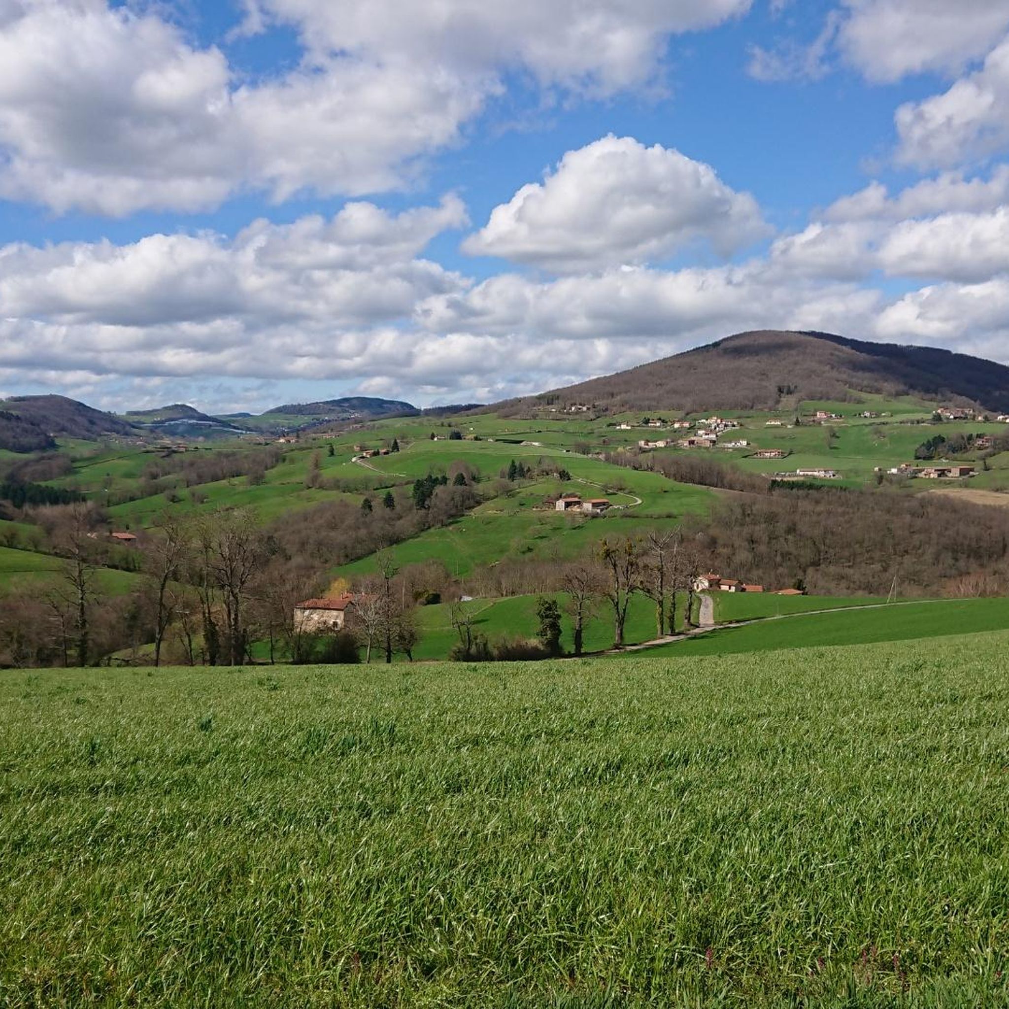
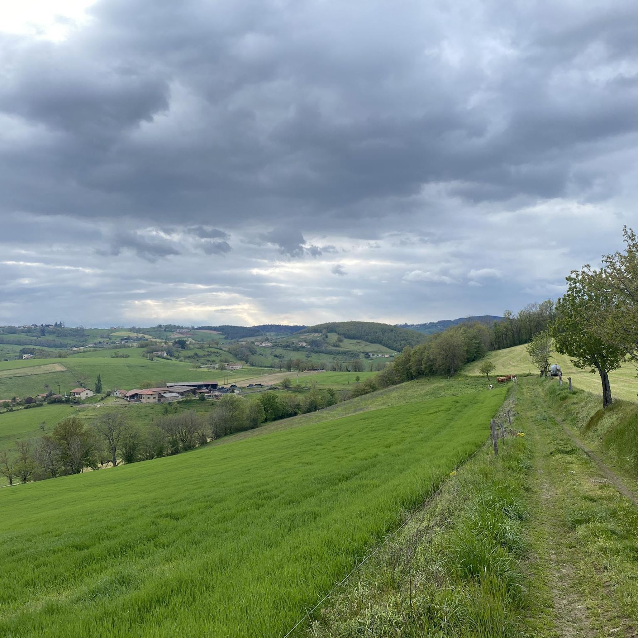
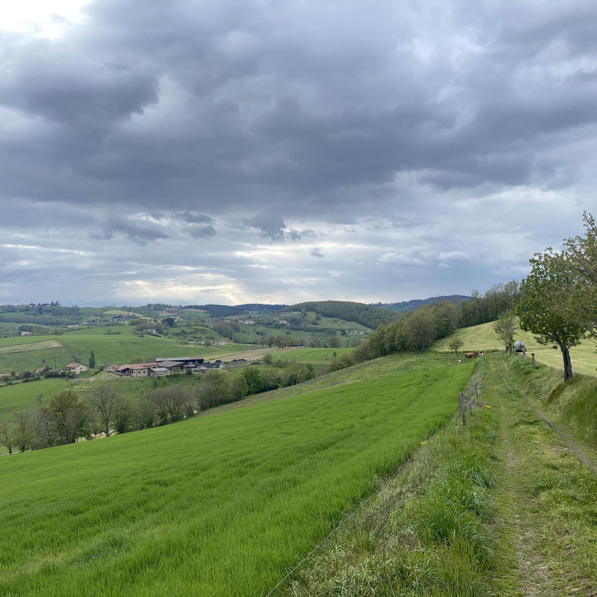
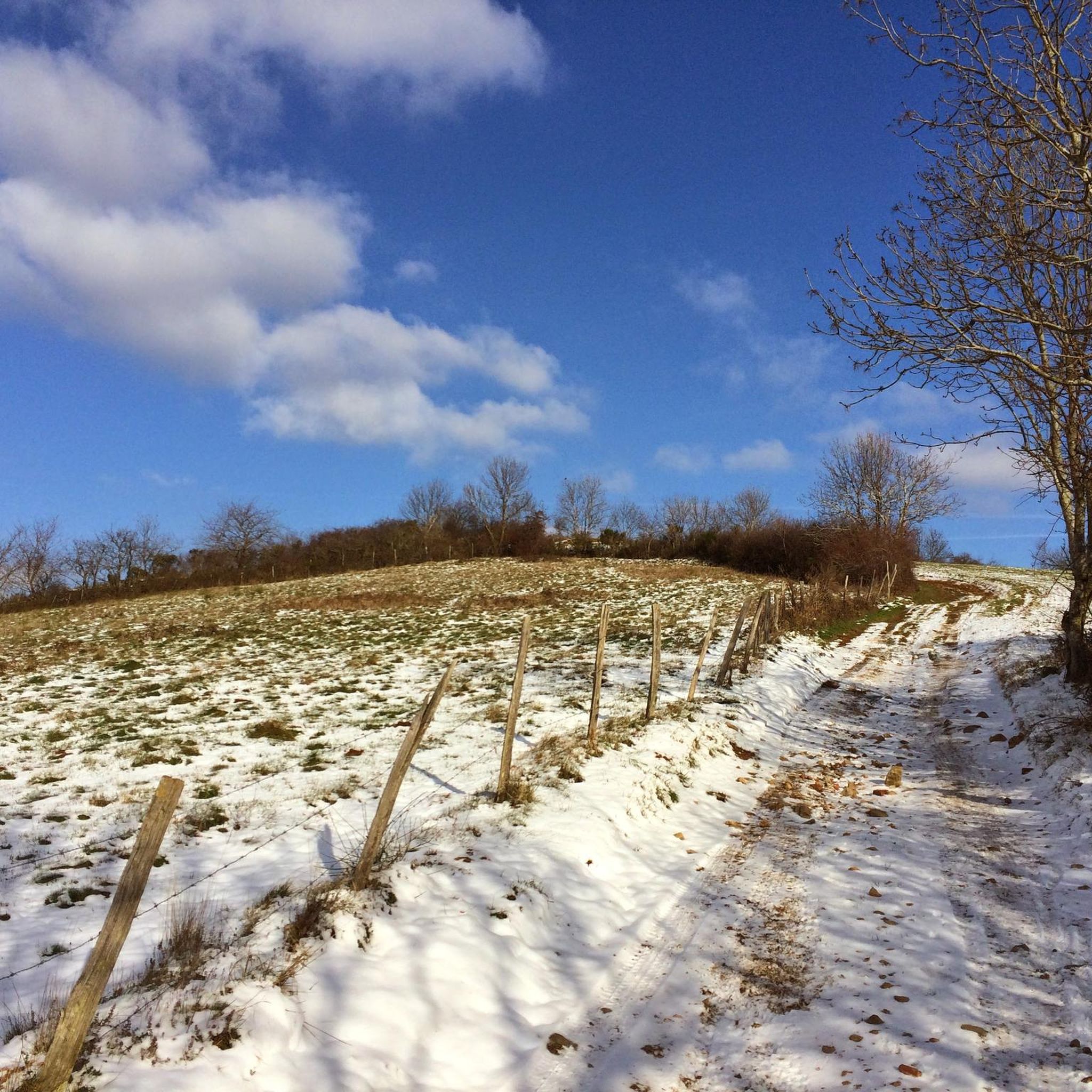
Hiking around Saint-Laurent-De-Chamousset offers diverse landscapes within the Monts du Lyonnais region. The area is characterized by verdant, hilly terrain, providing a mix of forests, valleys, and open fields. These natural features contribute to varied walking experiences, with many trails offering panoramic views. The region's topography includes numerous hills, making it suitable for different hiking terrain and elevation difficulty levels.
Best hiking trails around Saint-Laurent-De-Chamousset
- The most popular hiking route is Site of the Three Chapels – Crêt Favary loop…
Last updated: June 25, 2026
4.8
(4)
23
hikers
9.63km
02:58
350m
350m
Moderate hike. Good fitness required. Easily-accessible paths. Suitable for all skill levels.
5.0
(2)
5
hikers
4.89km
01:23
110m
110m
Easy hike. Great for any fitness level. Easily-accessible paths. Suitable for all skill levels.

Sign up for free
5.0
(1)
9
hikers
9.72km
02:48
250m
250m
Moderate hike. Good fitness required. Easily-accessible paths. Suitable for all skill levels.
11
hikers
8.84km
02:32
220m
210m
Moderate hike. Good fitness required. Easily-accessible paths. Suitable for all skill levels.
5
hikers
10.5km
02:57
220m
220m
Moderate hike. Good fitness required. Easily-accessible paths. Suitable for all skill levels.
Get access to more routes and recommendations from other explorers.
Sign up for free
Already have an account?
Our route recommendations are based on thousands of hikes, rides, and runs completed by other people on komoot.
Start today with a free account
Your next adventure awaits.
Login or Signup
Frequently Asked Questions
How many hiking trails are available around Saint-Laurent-De-Chamousset?
There are over 300 hiking routes in the Saint-Laurent-De-Chamousset area, catering to various skill levels. You'll find a diverse selection of paths through the Monts du Lyonnais, offering everything from gentle strolls to more challenging ascents.
What kind of terrain can I expect on hikes in the Monts du Lyonnais?
The Monts du Lyonnais region, where Saint-Laurent-De-Chamousset is located, is characterized by its verdant, hilly terrain. Hikers can expect a mix of forests, valleys, and open fields, with many trails offering panoramic views. The elevation changes vary, providing options for easy, moderate, and difficult hikes.
Are there any easy or beginner-friendly hiking routes?
Yes, Saint-Laurent-De-Chamousset offers a good selection of easy trails. Approximately 84 routes are classified as easy, perfect for beginners or those looking for a relaxed walk. An example is the Hiking loop from Les Halles, which is about 4.9 km long.
What are some notable landmarks or viewpoints I can discover while hiking?
The region offers several interesting landmarks and viewpoints. You can explore historical sites like the Château de Chamousset, or enjoy expansive views from elevated points such as the Crêt de la Madone, which features a statue of the Blessed Mother Mary. Other highlights include various mountain passes like the Malval Pass (732 m) and the Croix-de-Part Pass.
Are there any family-friendly hiking options in the area?
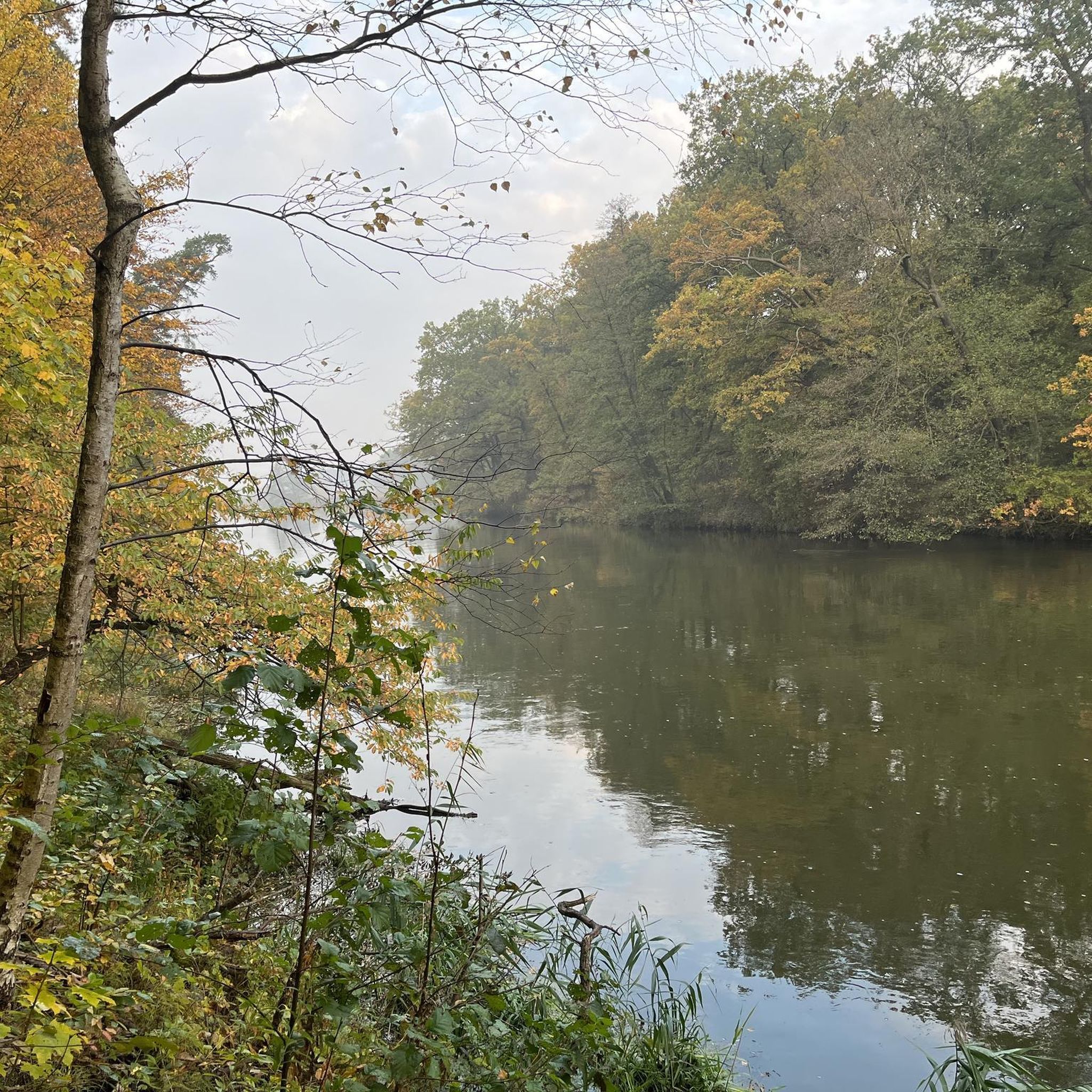
Absolutely. Many of the easier trails are suitable for families. The area around Lac du Ronzey, for instance, provides a beautiful setting for family outings and leisurely strolls. Additionally, the Monts du Lyonnais Educational Farm offers an enriching outdoor experience for children.
Can I bring my dog on the hiking trails?
Many trails in the Saint-Laurent-De-Chamousset area are dog-friendly, but it's always recommended to check specific trail regulations or local signage. Generally, dogs are welcome on leash, especially in rural and forested areas, allowing them to enjoy the varied landscapes alongside you.
What is the best time of year to go hiking in Saint-Laurent-De-Chamousset?
The Monts du Lyonnais are beautiful throughout the year. Spring and autumn offer pleasant temperatures and vibrant natural colors, making them ideal for hiking. Summer is also popular, though some trails might be warmer. Winter hiking is possible, but conditions can vary, especially on higher elevations, so check local weather forecasts.
Are there circular walking routes available?
Yes, the area is well-suited for circular walks. Many routes are designed as loops, allowing you to start and end at the same point without retracing your steps. Examples include the Site of the Three Chapels – Crêt Favary loop from Brullioles and the Hiking loop from Saint-Laurent-de-Chamousset.
What do other hikers say about the trails in Saint-Laurent-De-Chamousset?
The hiking routes in Saint-Laurent-De-Chamousset are highly rated by the komoot community, with an average score of 4.6 stars from over 680 reviews. Hikers often praise the diverse landscapes, well-maintained paths, and the serene natural environment of the Monts du Lyonnais.
Is parking available at the trailheads?
Parking availability varies by trailhead. Many popular starting points for hikes, especially those near villages or specific attractions, often have designated parking areas. It's advisable to check the route details on komoot for specific parking information before you set out.
Are there any challenging hikes for experienced trekkers?
Yes, for more experienced hikers, there are challenging routes available. The region offers 29 difficult trails with significant elevation gain, providing a good workout and rewarding views. These routes often traverse steeper sections of the Monts du Lyonnais, offering a more strenuous experience.
Can I combine hiking with a visit to a castle?
Absolutely. The region is home to historical castles that can be integrated into your hiking plans. For example, the Manoir de Tourville – Chateau de la Bonnetière loop from Les Halles takes you past historical landmarks, including the Château de la Bonnetière. The magnificent Château de Chamousset also offers guided tours during the summer, which can be combined with a hike.
Most popular routes around Saint-Laurent-De-Chamousset
Most popular attractions around Saint-Laurent-De-Chamousset

Get inspired with the komoot mobile app


Explore more
Browse the best Hikes in other regions.
