The best cycling routes around Saint-Bonnet
4.5
(20)
191
riders
29
rides
Touring cycling routes around Saint-Bonnet are situated in a region characterized by its diverse terrain, including the wide Champsaur valley and access to the Écrins National Natural Park. The landscape features winding roads through agricultural villages, wooded mountain slopes, and riverbanks along the Drac. This area offers a mix of paved surfaces and varied elevation, providing options for different cycling preferences.
Best touring cycling routes around Saint-Bonnet
- The most popular touring cycling route is La Galope Chopine and Haute-Saintonge Greenway…
Last updated: May 20, 2026
1
riders
64.0km
03:48
460m
460m
Hard bike ride. Very good fitness required. Mostly paved surfaces. Suitable for all skill levels.
5.0
(2)
2
riders
49.6km
03:07
400m
400m
Moderate bike ride. Good fitness required. Mostly paved surfaces. Suitable for all skill levels.

Sign up for free
4.8
(4)
33
riders
Moderate bike ride. Good fitness required. Mostly paved surfaces. Suitable for all skill levels.
5.0
(2)
10
riders
Hard bike ride. Very good fitness required. Mostly paved surfaces. Suitable for all skill levels.
3.0
(1)
11
riders
14.0km
00:49
70m
70m
Easy bike ride. Great for any fitness level. Mostly paved surfaces. Suitable for all skill levels.
Get access to more routes and recommendations from other explorers.
Sign up for free
Already have an account?
Our route recommendations are based on thousands of hikes, rides, and runs completed by other people on komoot.
Start today with a free account
Your next adventure awaits.
Login or Signup
Tips from the Community

You have to be very careful with the roots of the acacias which lift the bitumen in places as well as the thorns of these trees. Otherwise very pleasant.
0
0
You can even rent canoes there to discover the Charente river in a different way.
0
0

Consider deviating from the cycle path for a few minutes. Church your real the detour
1
0

Not yet fully developed on Komoot, so we only recorded part of the route, but the reality of our vacation is that we did the bike flow, from Angoulème to Ile Madame with our 11-year-old grandson at the rate of 50 km/day and that I can only recommend! Very nice hike, varied landscapes, pretty little villages, hotel campsites and frequent refreshments, a well-maintained path overall, everything to please!
0
0

Some sections of the track are damaged by tree roots and dangerous on a road bike. I often prefer to go by road.
1
0

The church is in the form of a rectangle thirty meters long and ten meters wide, flanked by 4 buttresses, one of which is located on the north wing and the 3 others on the south wing, a bell tower and a small extension on the south west part housing a chapel dedicated to the Virgin Massive building, reinforced by buttresses, low and poorly lit, it has a facade with a Romanesque portal surmounted by a large rose window. This gate is made up of 2 straight legs, and a projecting coving made up of 3 semicircular rollers with a keystone. The oculus rose is surrounded by a frieze with a sawtooth motif. The porch opens onto a single nave 22 m long by 9 wide without side aisles. It is made up of 4 bays with semi-circular vaults. The south wall is pierced under the 1st bay with a large semi-circular arch giving access to the chapel. The north wall has a pulpit which bears a monogram which would be that of Louis XIV. The choir of the church, raised from the nave by 3 steps, consists of a flat chevet and a span of semi-circular vaults. The bedside wall is pierced at each end with a rectangular door allowing access to the sacristy. The old sacristy has just been refurbished and has a very modern look with paneling on the floor and ceiling. The chapel of the Virgin is located on the southern extension of the church. It measures 13.50 m long by 7 wide, and consists of a small single nave 10 m long by 7 wide and a choir with a flat apse. The floor of this chapel is 1.25 m lower than the floor of the church corresponding to the initial floor of the old abbey. Access to the bell tower is through a door located on the east wall of the nave of the chapel. It consists of 4 floors and a vaulted ground floor. The facing is made up of medium-sized cut stone for the ground floor and the 1st floor and rubble stone coated with brown lime for the 2nd and 3rd floors.
0
0

A gravel section that lasts just under 2 km. The gravel is quite compact and quite soft to drive. This should pass easily on a touring bike with wide tires.
0
0
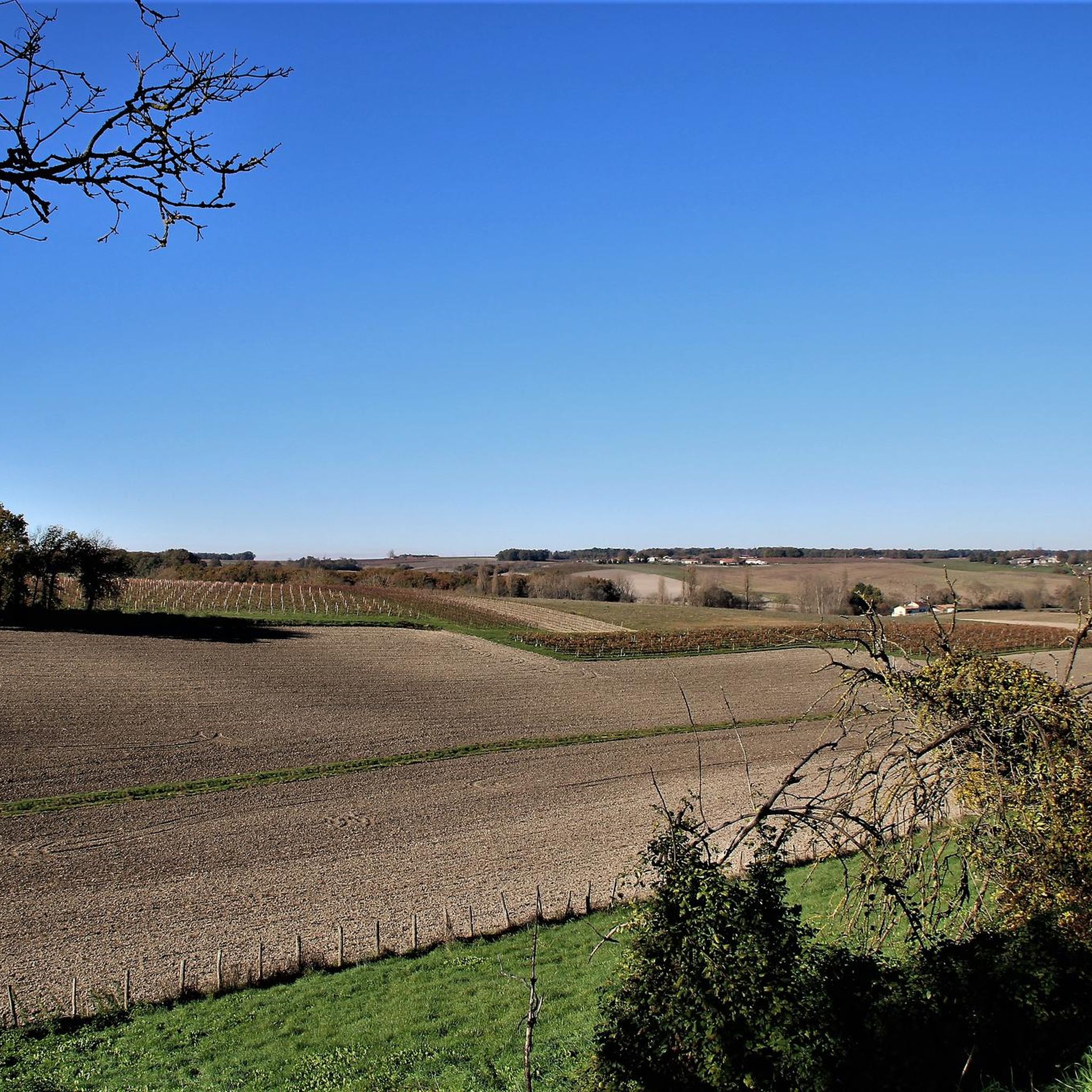
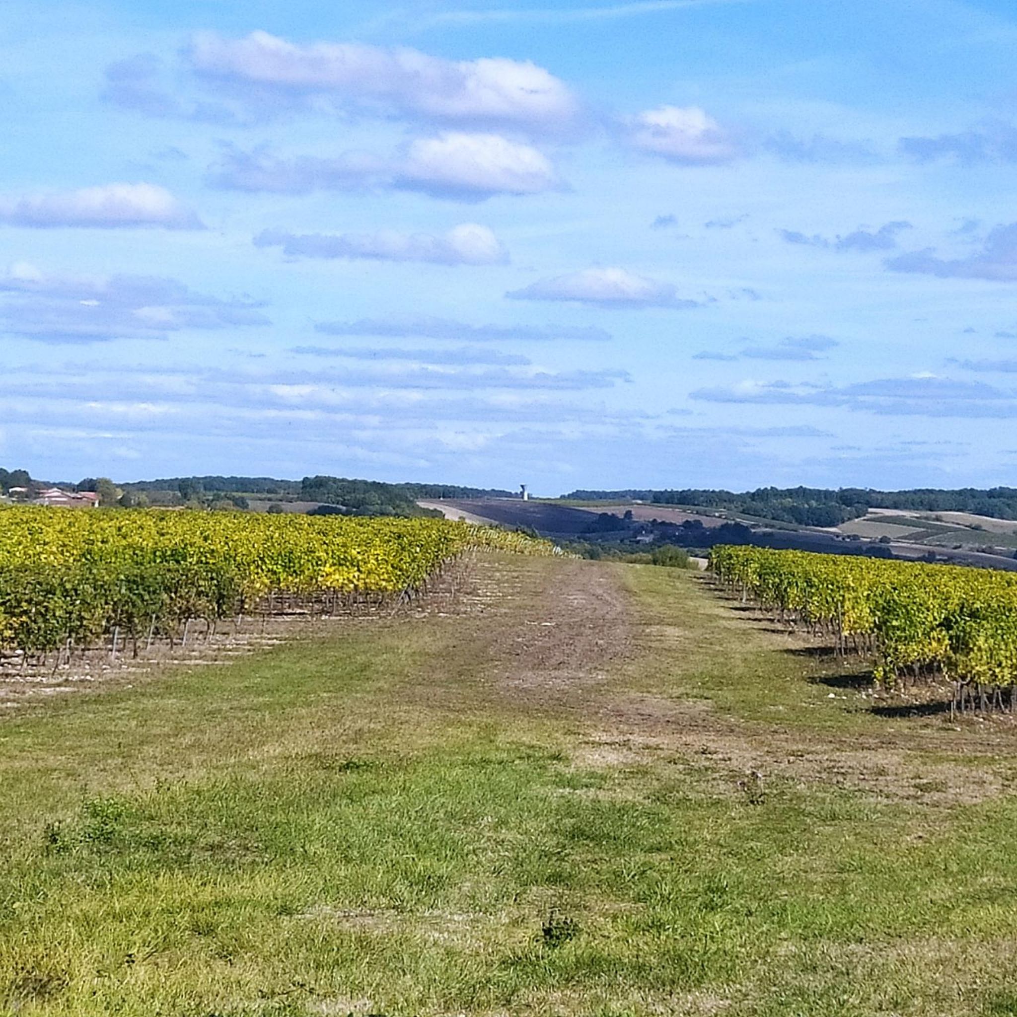
A unique hilly path that crosses the fields. It's worth riding.
0
0
Frequently Asked Questions
How many touring cycling routes are available in Saint-Bonnet?
There are over 30 touring cycling routes around Saint-Bonnet, offering a diverse range of experiences. These routes are highly rated by the komoot community, with an average score of 4.5 stars.
What is the best time of year for touring cycling in Saint-Bonnet?
The most popular months for touring cycling in Saint-Bonnet are July and August, when the weather is generally favorable for exploring the diverse terrain of the Champsaur valley and the Écrins National Natural Park.
Are there easy touring cycling routes suitable for beginners in Saint-Bonnet?
Yes, Saint-Bonnet offers several easy touring cycling routes. For instance, the Bike loop from Barbezieux-Saint-Hilaire is an easy 14 km ride with minimal elevation gain, perfect for a relaxed outing.
Where can I find challenging touring cycling routes around Saint-Bonnet?
For those seeking a challenge, Saint-Bonnet provides several difficult routes. The La Galope Chopine and Haute-Saintonge Greenway Loop is a demanding 64 km route with significant elevation gain. Additionally, the region is known for challenging climbs like the Col du Noyer, offering stunning panoramic views.
Are there any circular touring cycling routes in the Saint-Bonnet area?
Yes, many routes in the Saint-Bonnet area are designed as loops. A popular moderate option is the La voie verte – Château de Barbezieux loop from Barbezieux-Saint-Hilaire, which covers 41.8 km through rural landscapes.
What kind of scenery can I expect on touring cycling routes around Saint-Bonnet?
Touring cycling routes in Saint-Bonnet offer diverse scenery, from the wide Champsaur valley with its agricultural villages and hedged farmland to wooded mountain slopes and riverbanks along the Drac. You'll also find access to the majestic Écrins National Natural Park, providing high valleys and stunning natural features.
What interesting places can I explore along touring cycling routes in Saint-Bonnet?
Beyond the natural beauty, you can explore charming local heritage. Highlights include the historic Saint-Bonnet Church of Saint-Bonnet, the Saint-Pierre Church of Bonneuil, and the Saint-Cybard Church in Blanzac-Porcheresse. The region also features picturesque villages like Pont-du-Fossé and Chabottes.
Are there family-friendly touring cycling routes in Saint-Bonnet?
Yes, the region offers routes suitable for families, particularly those with easier terrain and mostly paved surfaces. The Champsaur valley itself provides winding roads through agricultural areas that are generally pleasant for family rides, allowing for exploration of the local landscape at a comfortable pace.
Are touring cycling routes in Saint-Bonnet dog-friendly?
While many outdoor areas in Saint-Bonnet are dog-friendly, especially on trails outside protected zones, it's important to check specific regulations, particularly when cycling near or within the Écrins National Natural Park, where dogs may need to be kept on a leash or are restricted in certain areas to protect wildlife.
What are the typical distances and durations for touring cycling routes in Saint-Bonnet?
Routes vary significantly. You can find shorter rides like the Bike loop from Barbezieux-Saint-Hilaire at 14 km, taking about 48 minutes. Moderate routes like Barbezieux Exploration Circuit 9 are around 49.6 km, taking about 3 hours 8 minutes, while more difficult routes can extend to over 60 km.
Are there any scenic viewpoints on the touring cycling routes?
Absolutely. The region is rich with scenic vistas. The climb to Col du Noyer (1664 m) offers stunning panoramic views separating the Champsaur and Dévoluy valleys. You can also find a dedicated rest area with a view and picture board, perfect for taking in the landscape.
Can I access touring cycling routes in Saint-Bonnet using public transport?
Access to touring cycling routes via public transport can be limited in rural areas like Saint-Bonnet. While some regional bus services might operate, it's advisable to check local transport schedules and bike carriage policies in advance. Many cyclists prefer to drive to a starting point and park.
Most popular attractions around Saint-Bonnet

Get inspired with the komoot mobile app


Explore more
Browse the best Cycling routes in other regions.
