The best walks and hikes around Saint-Avit
4.2
(29)
125
hikers
26
hikes
Hiking around Saint-Avit offers a diverse landscape characterized by gentle rolling terrain and numerous water features. The region provides a mix of open areas and wooded sections, with some routes featuring modest elevation changes. Trails often lead through natural pond areas and past local points of interest. The network of paths is suitable for various fitness levels, from short, easy strolls to longer, more challenging excursions.
Best hiking trails around Saint-Avit
- The most popular hiking route is Fountain of healing…
Last updated: November 1, 2026
4.0
(2)
8
hikers
6.57km
01:50
130m
130m
Easy hike. Easily walkable paths.
4.0
(3)
17
hikers
3.63km
00:58
40m
40m
Easy hike. Easily walkable paths.

4.0
(1)
7
hikers
9.62km
02:34
100m
100m
Moderate hike. Good fitness required. Easily walkable paths.
3.8
(4)
11
hikers
26.4km
07:05
320m
320m
Hard hike. Very good fitness required. Easily walkable paths.
4.0
(1)
4
hikers
9.23km
02:34
170m
170m
Moderate hike. Good fitness required. Easily walkable paths.
Get access to more routes and recommendations from other explorers.
Already have an account?
Our route recommendations are based on thousands of hikes, rides, and runs completed by other people on komoot.
Start today with a free account
Your next adventure awaits.
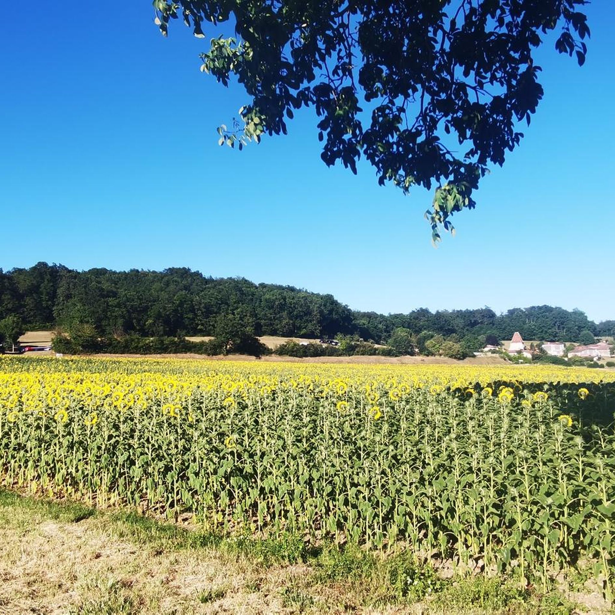
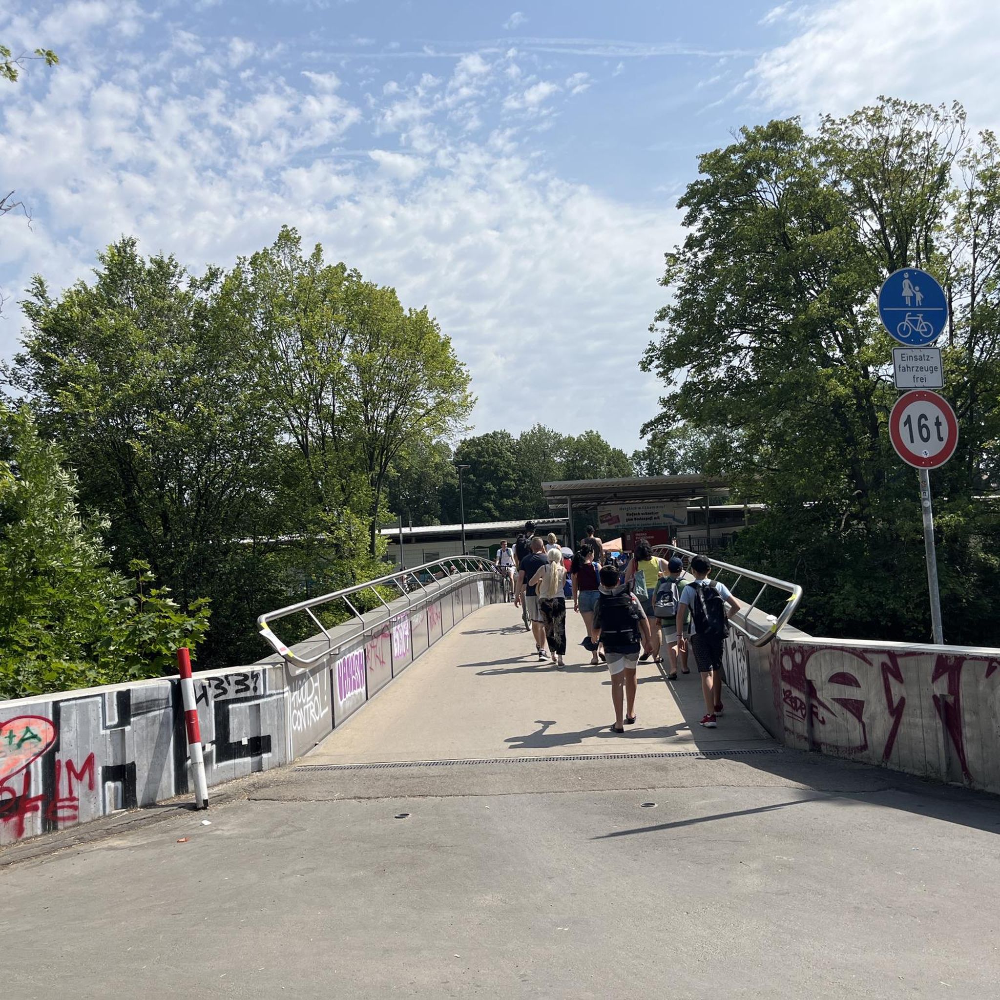
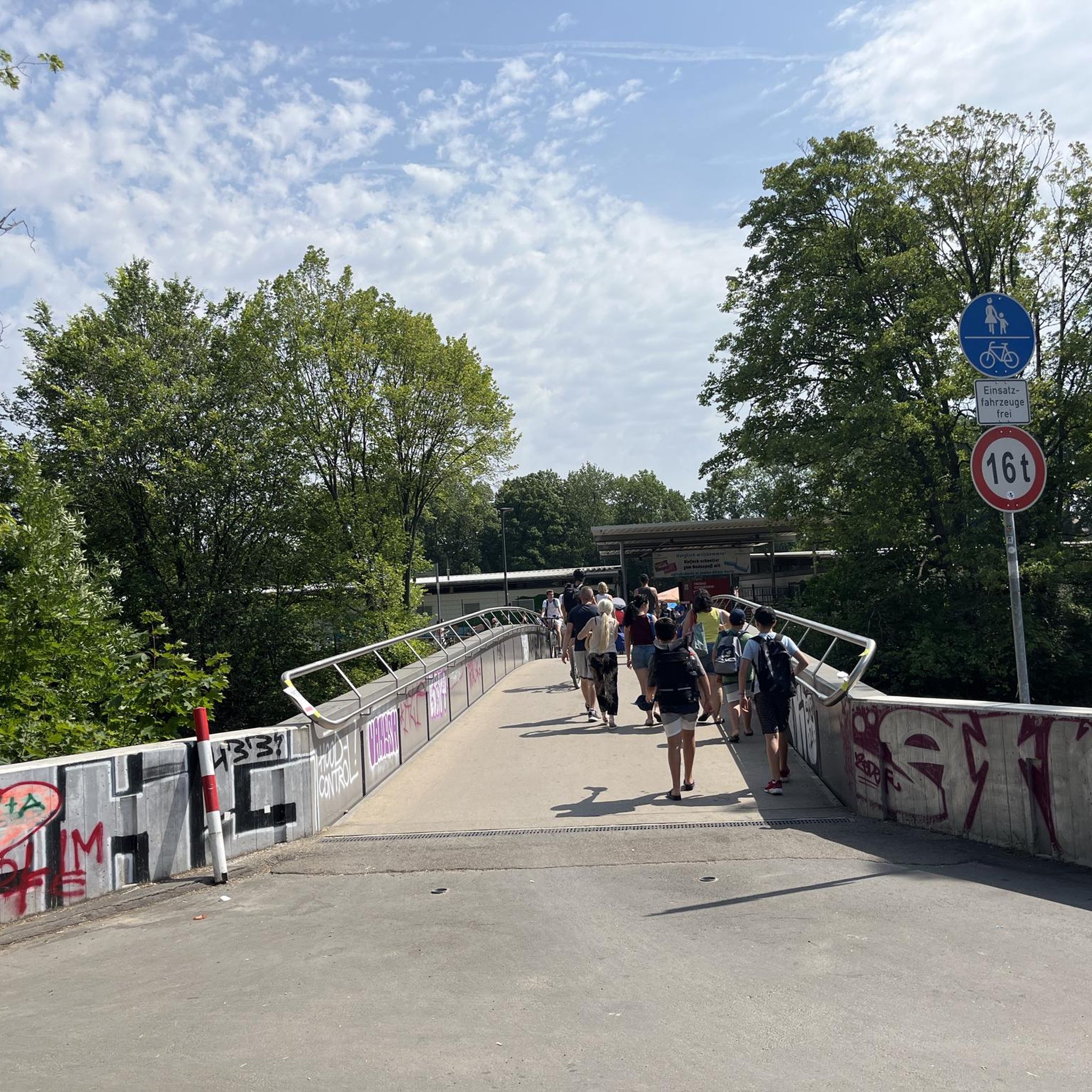

Tips from the Community

Beautiful route, there is a restaurant at the lake and from Rioux-Martin you can make a nice round trip
0
0

One part in the forest / another in a reforestation area
0
0

This is a fishing lake. A path allows you to follow the banks in a very nice environment.
0
0
Frequently Asked Questions
How many hiking trails are available in Saint-Avit?
There are over 25 hiking trails around Saint-Avit, offering a variety of experiences from easy strolls to more challenging excursions. The region features 10 easy routes, 17 moderate routes, and 1 difficult route.
Are there easy hiking trails suitable for beginners in Saint-Avit?
Yes, Saint-Avit offers several easy trails perfect for beginners. A great option is the Weasel Ponds – Étang des belettes loop from Rioux-Martin, which is an easy 1.5 miles (2.4 km) path through natural pond areas with minimal elevation gain.
What is the typical length of hiking trails in Saint-Avit?
Hiking trails in Saint-Avit vary in length. You can find shorter routes like the Weasel Ponds – Étang des belettes loop from Rioux-Martin at 1.5 miles (2.4 km), or longer, more challenging options such as the Hiking loop from Chenaud, which spans over 16 miles (26 km).
Are there family-friendly hiking routes in Saint-Avit?
Yes, the region's gentle rolling terrain and natural pond areas make it suitable for family outings. Many of the easy trails are ideal for families, offering pleasant walks without significant challenges. The Fountain of healing loop from Les Essards is a popular choice, featuring water elements and gentle ascents over 4.1 miles (6.6 km).
What kind of terrain can I expect on hikes around Saint-Avit?
The terrain around Saint-Avit is characterized by gentle rolling hills, natural pond areas, and wooded sections. Trails often lead through open fields and forests, with some routes featuring modest elevation changes, providing a diverse and pleasant hiking experience.
Are there any circular walks in Saint-Avit?
Yes, many of the trails in Saint-Avit are designed as circular routes, allowing you to start and end at the same point. Examples include the Étang des belettes – Weasel Ponds loop from Rioux-Martin, a 6.0 miles (9.6 km) trail through varied terrain and woodlands, and the Étang des belettes – Weasel Ponds loop from Rioux-Martin, which is a moderate 6.6 miles (10.6 km) loop.
What can I see along the hiking trails in Saint-Avit?
Along the hiking trails, you can explore natural pond areas like Étang des belettes, and enjoy the serene wooded sections. The region also offers charming villages and historical sites nearby, such as the picturesque Aubeterre-sur-Dronne and its unique Monolithic Church of Saint-Jean.
Is parking available at the trailheads in Saint-Avit?
While specific parking information for every trailhead isn't always detailed, in rural areas like Saint-Avit, it's common to find informal parking spots near village centers or designated areas at the start of popular routes. We recommend checking the tour details on komoot for specific parking suggestions for your chosen route.
What do other hikers enjoy most about hiking in Saint-Avit?
The area is highly rated by the komoot community, with an average score of 4.0 stars from over 15 reviews. Hikers often praise the region's diverse landscape, featuring gentle hills, natural ponds, and peaceful wooded paths, making it suitable for various ability levels.
When is the best time of year to hike in Saint-Avit?
The best time to hike in Saint-Avit is generally during spring and autumn when the weather is mild and the natural scenery is at its most vibrant. Summer can also be pleasant, especially in the wooded sections, but it's advisable to start early to avoid the midday heat. Winter hiking is possible, but some paths might be muddy.
Can I access hiking trails in Saint-Avit using public transport?
Saint-Avit is a rural area, and public transport options directly to trailheads may be limited. It is generally recommended to travel by car to access the hiking routes. However, some routes might be accessible from local villages that have limited bus services. We advise checking local transport schedules if you plan to rely on public transport.
Most popular attractions around Saint-Avit

Get inspired with the komoot mobile app


Explore more
Browse the best Hikes in other regions.
