The best MTB trails around Saint-Ciers-Sur-Gironde
3.9
(17)
78
riders
18
rides
Mountain bike trails Saint-Ciers-Sur-Gironde explore a diverse landscape of vineyards, rolling hills, and forests. The region's proximity to the Gironde estuary creates varied terrains, from flat, open countryside to areas with gentle elevation changes. These physical features provide a suitable environment for mountain biking across different skill levels. The area is defined by its agricultural lands and natural riverine influences.
Best mountain bike trails around Saint-Ciers-Sur-Gironde
- The most popular mountain bike trail is Église Notre-Dame de Donnezac loop from Étauliers…
Last updated: June 29, 2026
3.0
(2)
16
riders
42.5km
02:47
220m
220m
Moderate mountain bike ride. Good fitness required. Suitable for all skill levels.
4.5
(4)
14
riders
29.0km
01:34
110m
110m
Easy mountain bike ride. Great for any fitness level. Suitable for all skill levels.

Sign up for free
4.0
(2)
13
riders
36.5km
02:24
160m
160m
Moderate mountain bike ride. Good fitness required. Suitable for all skill levels.
1
riders
Moderate mountain bike ride. Good fitness required. Suitable for all skill levels.
10
riders
53.0km
03:30
230m
230m
Moderate mountain bike ride. Good fitness required. Suitable for all skill levels.
Get access to more routes and recommendations from other explorers.
Sign up for free
Already have an account?
Our route recommendations are based on thousands of hikes, rides, and runs completed by other people on komoot.
Start today with a free account
Your next adventure awaits.
Login or Signup

Tips from the Community

Cellar in Montendre specializing in white wine. They offer many local wines, as well as wines from other French regions. Might be closed, so call ahead to see if they're open. +33677472892
0
0
Notre-Dame de Donac church in Romanesque style. The church cannot be visited at any time, it is only open on special occasions (religious festivals). Donnac is a village of more than 700 inhabitants. There are no restaurants, cafes or supermarkets, just the main amenities, like the town hall, post office and this church.
1
0
Montendre Castle rises on an eminence 114 meters high and dominates a vast panorama of moors, woods and meadows as well as the tight houses of the old town below. Its origin dates back to the Gallo-Roman era with the construction of a first oppidum in 52 BC. J-C. The castle retains elements from various periods, including part of the enclosures, a round tower, a square tower, a guard room and underground passages. Since the beginning of the 2000s, each summer, international projects (Solidarités Jeunesses) have made it possible to gradually renovate the castle grounds and preserve this site, converted into a promenade. The castle is open for visits from 9 a.m. to 12:30 p.m. and from 2 p.m. to 5:30 p.m. Close on Sunday.
1
0
This vast Romanesque-inspired construction was built from 1812 to 1821 to replace a medieval church. Finally, in 1994, the exterior was renovated and an access ramp for the disabled was installed on the south side. For opening hours, please call +33 5 46 49 20 84.
0
0

Worth seeing fortress, unfortunately the weather was not nice for further explorations.
4
0
Beautiful railway track cycle path between Blaye and Etauliers.
2
1

Citadel built under Vauban to protect the port of Blaye. https://de.m.wikipedia.org/wiki/Zitadelle_Blaye
0
0

In his 56 years of service, Vauban, who was already an Ingénieur de France, designed 33 new forts, delivered over 400 projects for 160 sites and modernized countless existing forts. He is the actual creator of the enceinte de fer, the iron belt, and the pré carré, with which France under Louis XIV secured its external borders. The fortified town of Neuf-Brisach/Neu-Breisach is considered to be his main work Fortifications by Vauban is the name of the World Heritage site that summarizes the important fortifications of the brilliant French master builder. In 2008, UNESCO decided to include twelve particularly exemplary and well-preserved sites in the World Heritage List: * Arras Citadel * Citadel, ramparts and Fort Griffon in Besançon * Citadel of Blaye, Fort Paté on an island in the Gironde and the * Citadel of Cussac-Fort-Médoc * Briançon fortification system (walls, four forts, signal tower and bridge) * Tour dorée (golden tower) in Camaret-sur-Mer * Fortified Upper Town of Longwy * Fortified city of Mont-Dauphin * Mont-Louis, composed of citadel and fortified city * Fortified town of Neuf-Brisach * Saint-Martin-de-Ré fortress with ramparts, port and citadel * Saint-Vaast-la-Hougue: Towers and fortifications in Saint-Vaast-la-Hougue and on the neighboring island of Tatihou * Fort Liberia, city walls and the fortified cave Cova Bastera in Villefranche-de-Conflent” (Source: Wikipedia)
2
0
Frequently Asked Questions
How many mountain bike trails are available in Saint-Ciers-Sur-Gironde?
There are nearly 20 mountain bike trails around Saint-Ciers-Sur-Gironde, offering a range of options for different skill levels. These routes are highly rated by the komoot community, with an average score of 3.9 stars.
What kind of terrain can I expect on mountain bike trails in Saint-Ciers-Sur-Gironde?
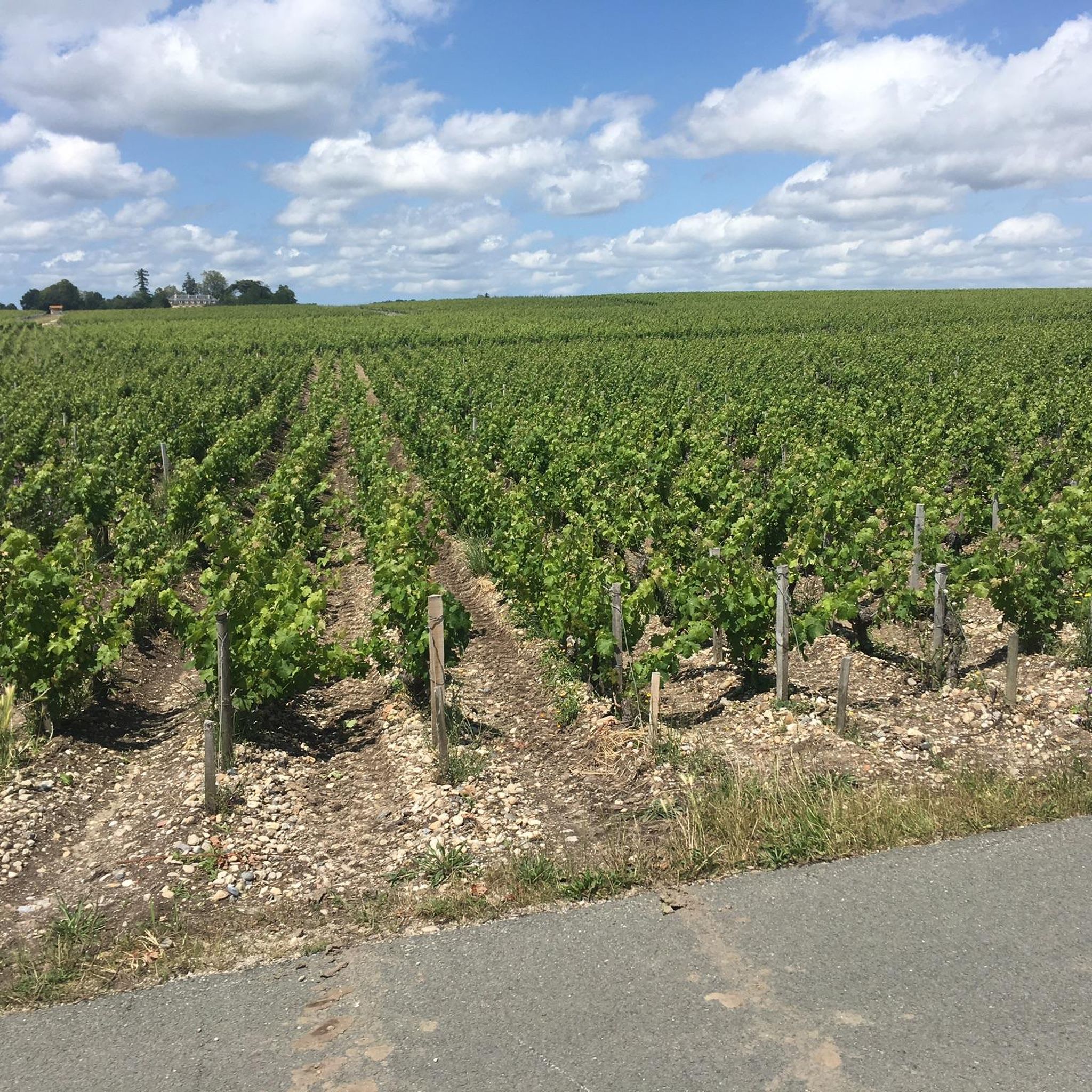
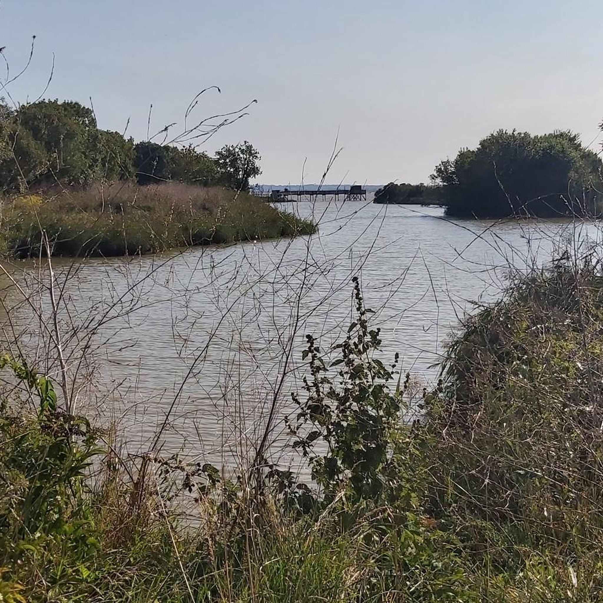
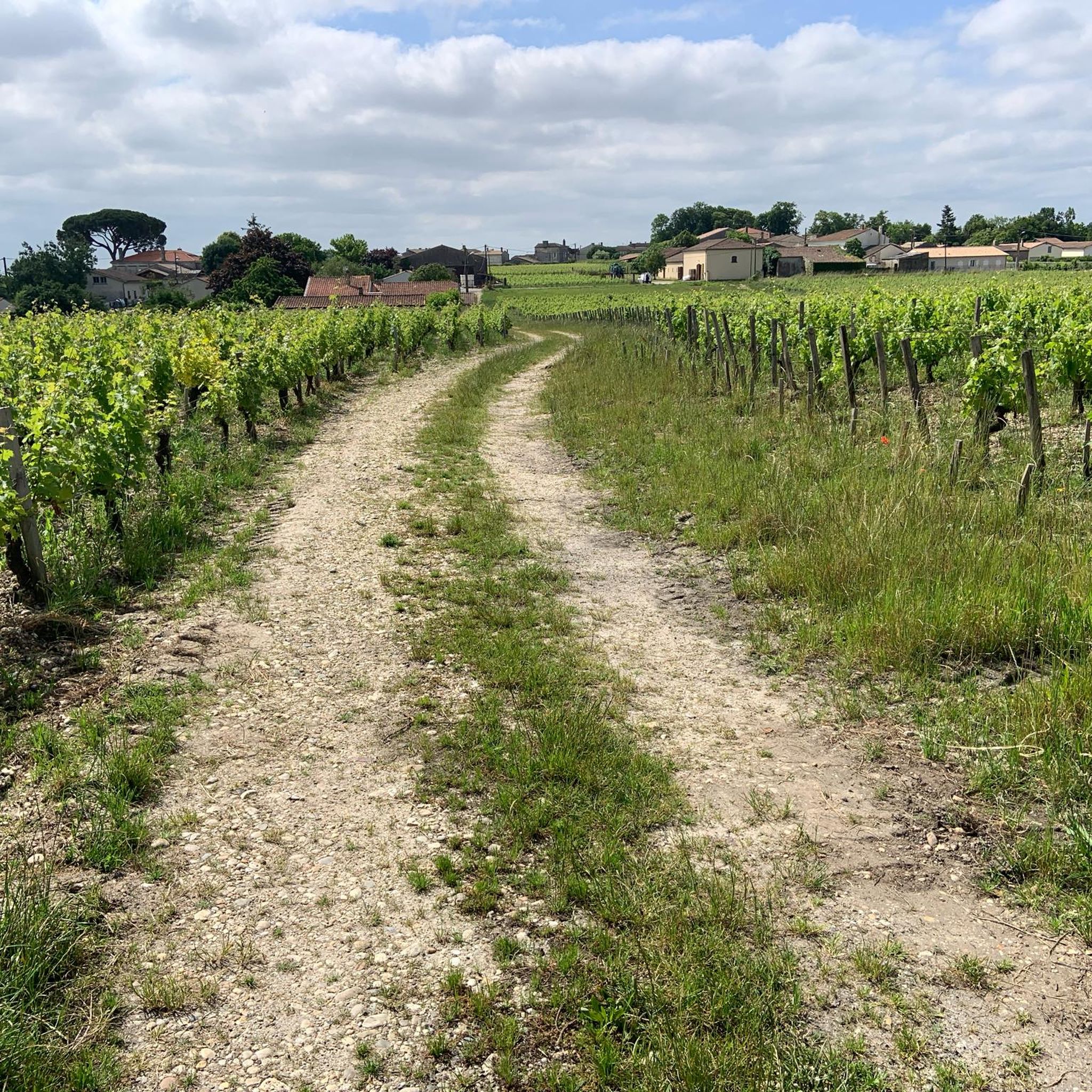
The terrain in Saint-Ciers-Sur-Gironde is diverse, characterized by lush vineyards, rolling hills, and verdant forests. The proximity to the Gironde estuary also introduces varied landscapes, from flat, open countryside to areas with gentle elevation changes and marshlands, providing a picturesque backdrop for your rides.
Are there easy mountain bike trails suitable for beginners or families in Saint-Ciers-Sur-Gironde?
Yes, Saint-Ciers-Sur-Gironde offers 7 easy mountain bike trails, perfect for beginners or families looking for a relaxed ride. One popular easy route is the Blaye Harbour – Blaye Citadel loop from Étauliers, which is 28.6 km long and offers views of the Gironde estuary and the historic Blaye Citadel.
What is the best time of year for mountain biking in Saint-Ciers-Sur-Gironde?
The oceanic climate of Saint-Ciers-Sur-Gironde, with its mild winters and warm summers, makes it suitable for mountain biking year-round. However, spring and autumn often provide the most comfortable temperatures and beautiful scenery, ideal for exploring the vineyards and natural areas.
Are there any circular mountain bike routes in the area?
Yes, many of the mountain bike trails in Saint-Ciers-Sur-Gironde are circular, allowing you to start and end your ride in the same location. Examples include the moderate Église Notre-Dame de Donnezac loop from Étauliers (42.5 km) and the Église Notre-Dame de Donnezac – Château de Montendre loop from Saint-Palais (53.4 km).
What interesting sights or landmarks can I see along the mountain bike trails?
The trails often pass through scenic vineyards and rural landscapes. You can also find historical and natural points of interest. For example, the Blaye Harbour – Blaye Citadel loop from Étauliers offers views of the historic Blaye Citadel. Other attractions in the wider region include the Château Pontet d'Eyrans and the unique marshland area known as The Belt – canals and wet meadows.
Are mountain bike trails in Saint-Ciers-Sur-Gironde dog-friendly?
While many trails in France are generally accessible, it's always recommended to check local regulations for specific routes or protected natural areas. When riding with dogs, ensure they are well-behaved, kept under control, and that you carry waste bags. The varied landscapes, including forests and open countryside, can be enjoyable for dogs.
Is there parking available near the mountain bike trailheads?
Parking is generally available in the towns and villages where many of the trails begin, such as Étauliers, Saint-Palais, and Reignac. Specific parking information for individual trailheads can often be found on the detailed route pages on komoot.
Can I access the mountain bike trails using public transport with my bike?
Public transport options in rural areas like Saint-Ciers-Sur-Gironde can be limited. While some regional trains or buses may allow bikes, it's advisable to check specific transport provider policies and schedules in advance. Driving to the trailheads is often the most convenient option for mountain bikers in this region.
What are some moderate mountain bike trails for riders with good fitness?
For riders with good fitness, there are several moderate trails. The Église Notre-Dame de Donnezac loop from Étauliers is a 42.5 km route with moderate climbs. Another option is the Reignac loop from Reignac, spanning 36.5 km through varied landscapes.
Are there any cafes or places to stop for refreshments along the mountain bike routes?
The routes often pass through or near small villages and towns where you can find local cafes, bakeries, or small shops for refreshments. It's a good idea to plan your stops by checking the route on komoot beforehand or carrying sufficient water and snacks, especially on longer rides like the Singletrack – Camping de la Sauzelle loop from Saint-Aubin-de-Blaye.
Most popular routes around Saint-Ciers-Sur-Gironde
Most popular attractions around Saint-Ciers-Sur-Gironde

Get inspired with the komoot mobile app


Explore more
Browse the best MTB trails in other regions.
