The best road cycling routes around Eyrans
4.2
(14)
436
riders
126
rides
Road cycling around Eyrans offers a diverse landscape characterized by the proximity to the Gironde Estuary, providing flat to gently rolling terrain suitable for various skill levels. The region features a mix of open countryside, historical sites like the Citadel of Blaye, and paths winding through agricultural areas. Road cyclists can expect routes that traverse vineyards and offer views of the estuary, with minimal significant elevation changes.
Best road cycling routes around Eyrans
- The most popular road cycling route is Saint-Fort-sur-Gironde Church – Estuary front loop from Anglade, a 71.9 miles (115.7 km) trail that takes 5 hours 0 minutes to complete. This challenging route offers extensive views along the Gironde Estuary.
- Another top favourite among local road cyclists is Blaye Citadel – Citadel of Blaye loop from Les Grandes Levées, an easy 14.8 miles (23.8 km) path. This route explores the historic surroundings of the Blaye Citadel with minimal elevation gain.
- Local road cyclists also love the Saint-Seurin de Cursac – Château Pontet d'Eyrans loop from Cartelègue, a 15.3 miles (24.6 km) trail leading through rural landscapes and past local châteaux, often completed in about 1 hour 0 minutes.
- Road cycling around Eyrans is defined by estuary views, historical landmarks, and tranquil vineyard paths. The network offers options for different ability levels, from easy road bike trails Eyrans to more challenging long-distance routes.
- The routes in Eyrans are highly rated by the komoot community with an average score of 4.3 stars from over 20 reviews. More than 600 road cyclists have used komoot to explore Eyrans's varied terrain.
Last updated: May 21, 2026
21
riders
114km
05:02
1,010m
1,010m
Hard road ride. Very good fitness required. Mostly well-paved surfaces and easy to ride.
3.0
(1)
33
riders
23.2km
00:55
100m
100m
Easy road ride. Great for any fitness level. Mostly well-paved surfaces and easy to ride.

Sign up for free
9
riders
49.4km
02:09
310m
310m
Moderate road ride. Good fitness required. Mostly well-paved surfaces and easy to ride.
6
riders
42.2km
01:40
180m
180m
Easy road ride. Great for any fitness level. Mostly well-paved surfaces and easy to ride.
4
riders
76.2km
03:05
410m
400m
Moderate road ride. Good fitness required. Mostly well-paved surfaces and easy to ride.
Get access to more routes and recommendations from other explorers.
Sign up for free
Already have an account?
Our route recommendations are based on thousands of hikes, rides, and runs completed by other people on komoot.
Start today with a free account
Your next adventure awaits.
Login or Signup
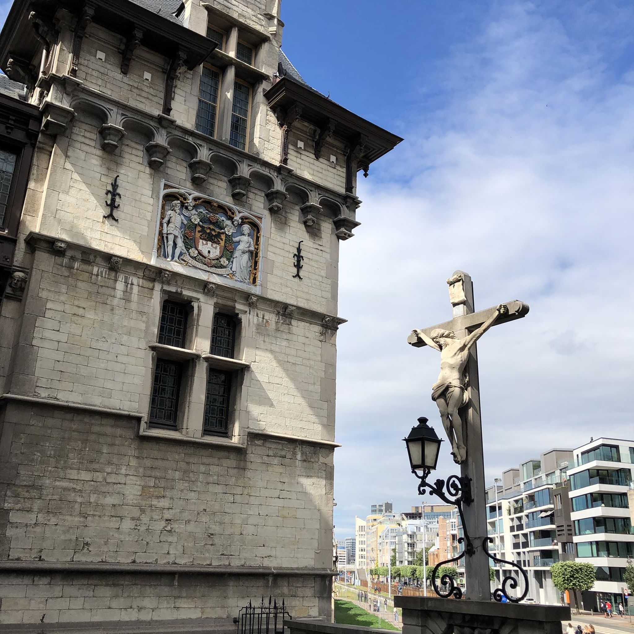
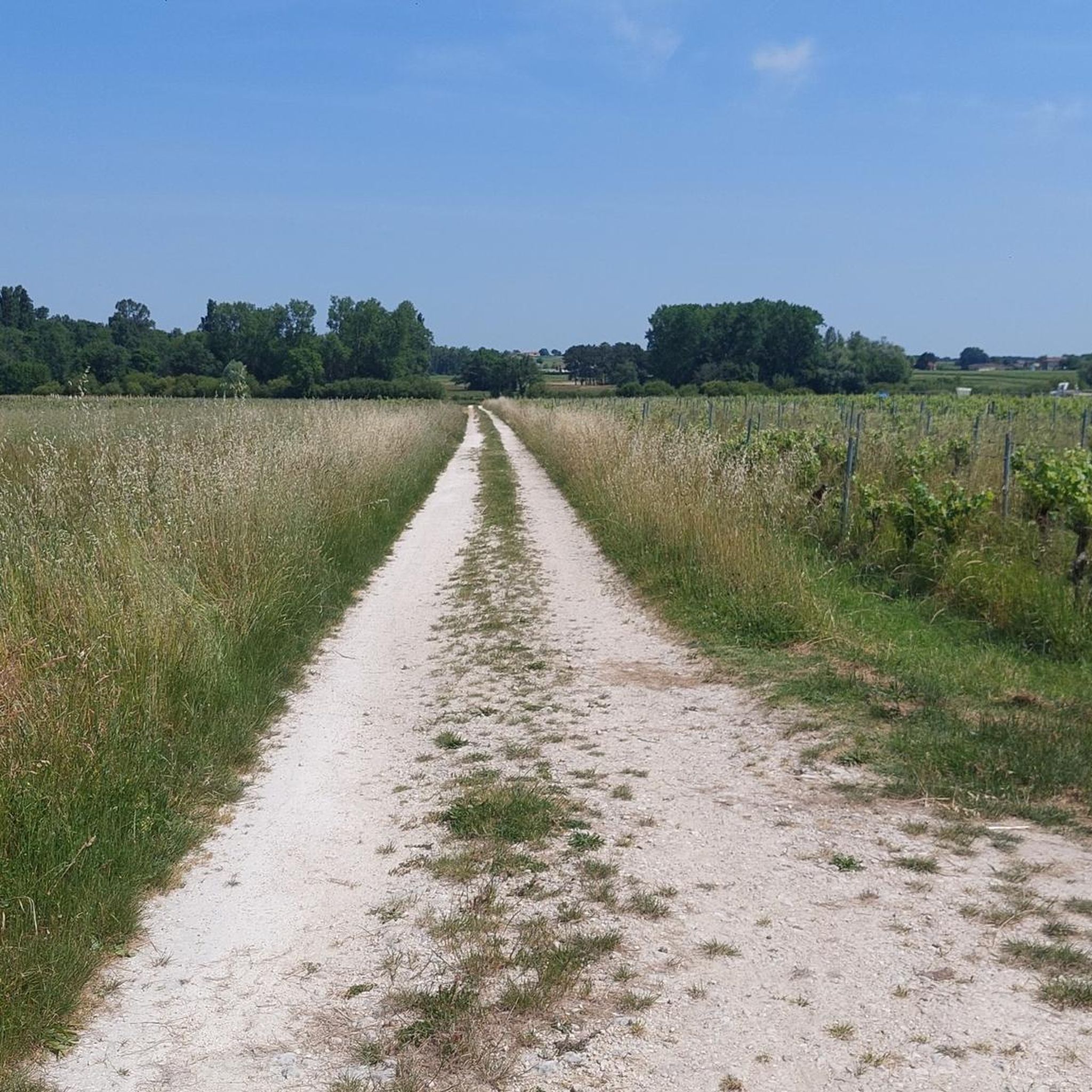

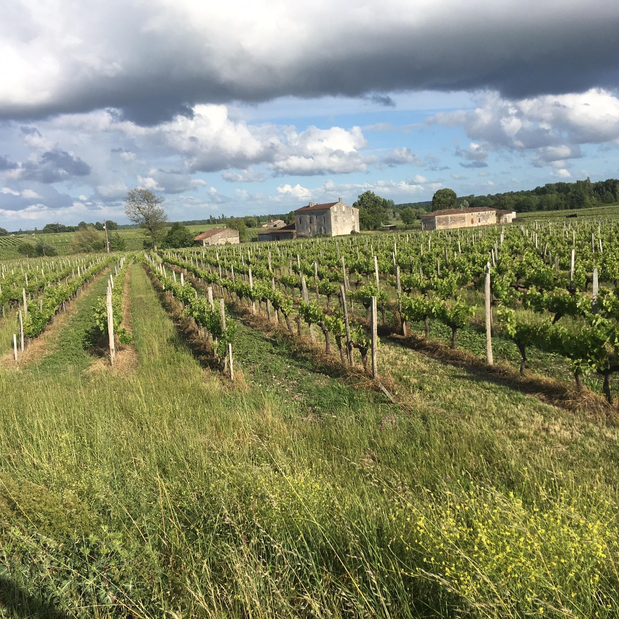
Tips from the Community

Opposite the church, you'll find a small supermarket, public restrooms, and drinking water. Always interesting.
0
0

Even more beautiful after its restoration
0
0
Waterbird reserve on the north of the island of Oléron
1
0


The commune takes its name from its Latin name, Blacciacum. A Gallo-Roman settlement is attested by the discovery of the remains of three Gallo-Roman villas, dating from the 1st to the 5th century AD. These remains were found near the current site of the church, not far from the Gironde. During the medieval period, the village's center of activity seems to have shifted to the heights overlooking the river. This is evidenced in particular by a hoard of Merovingian coins discovered around 1850 at a place called Montuzet (Mont des Yeuses). The lower Plassac region, around the port, was heavily involved in river and maritime activity in the 17th, 18th, and 19th centuries. Merchants and ocean-going captains settled in beautiful stone residences. This river activity gradually declined in the 20th century.
2
0
Former railway from 1888, now an excellent smooth bike trail to the Gironde estuary.
0
0
A resort located on the pilgrimage route to Santiago de Compostela, this historic town owes its prosperity to its geographical location. The ancient Roman road, which connected Saintes to Blaye, was in use for fourteen centuries. In the 12th and 13th centuries, it was used by pilgrims on the road to Santiago de Compostela. A hospital located near the road, run by monks, provided travelers with a rest. National Route 137 was known as the "Royal Route" (an imperial route under the Empire) and dates back to the reign of Charles VIII (1483-1498). Its creation led to the establishment of hotels, inns, and stagecoach services along the road. The name Étauliers is mentioned in 1730. The railway, now removed, dates from 1888.
0
0
The Saint-Saturnin Church was built in 1898 after the previous church was destroyed during the French Revolution. Near the church stands the Column of the Shipwrecked, an ex-voto erected by Nordic sailors who survived a shipwreck in the early 17th century. Located on the right bank of the Gironde River, Europe's largest estuary, the town owes its wealth of infrastructure and sports facilities to the presence of the Blayais National Park. In the heart of the marshland, its territory boasts typical wetland landscapes, home to exceptional flora and fauna. Discover it on bike rides or by visiting the "Terres d'oiseaux" bird park, next to the port of Callonges. A major producer of asparagus from Blayais, but also a wine-growing commune located in one of the largest vineyards in the world, Bordeaux, Braud-et-Saint-Louis also borders the appellations of cognac and pineau des Charentes.
0
0
Frequently Asked Questions
How many road cycling routes are available around Eyrans?
There are over 130 road cycling routes around Eyrans, catering to various skill levels. You'll find a good mix of easy, moderate, and challenging options to explore the region.
Are there easy road cycling routes suitable for beginners in Eyrans?
Yes, Eyrans offers numerous easy road cycling routes perfect for beginners. For instance, the Blaye Citadel – Citadel of Blaye loop from Les Grandes Levées is an easy 14.8-mile (23.8 km) path that explores historic surroundings with minimal elevation gain. Another gentle option is the Saint-Seurin de Cursac – Château Pontet d'Eyrans loop from Cartelègue, which is 15.3 miles (24.6 km) and leads through rural landscapes.
What are the most challenging road cycling routes in the Eyrans area?
For experienced road cyclists seeking a challenge, the Saint-Fort-sur-Gironde Church – Estuary front loop from Anglade is a demanding 71.9-mile (115.7 km) route. It features significant elevation gain and offers extensive views along the Gironde Estuary, typically taking around 5 hours to complete.
Are there any circular road cycling routes around Eyrans?
Many of the road cycling routes in Eyrans are designed as loops, allowing you to start and finish in the same location. Examples include the easy Blaye Citadel – Citadel of Blaye loop from Les Grandes Levées and the moderate Citadel of Blaye – Blaye Citadel loop from Mazion.
What kind of scenery can I expect on road cycling routes near Eyrans?
Road cycling around Eyrans offers diverse scenery. You'll encounter routes with extensive views of the Gironde Estuary, paths winding through tranquil vineyard landscapes, and stretches through open countryside. Many routes also pass by historical sites and charming rural villages.
What historical landmarks or attractions can I see along the road cycling routes?
Several routes pass by significant historical landmarks. The iconic Citadel of Blaye, a UNESCO World Heritage site, is a prominent feature on many routes, such as the Citadel of Blaye – Blaye Citadel loop from Mazion. You might also cycle past charming châteaux like Château Pontet d'Eyrans and various historic churches like Saint-Seurin Church.
What is the best time of year for road cycling in Eyrans?
The region around Eyrans generally experiences mild weather, making spring and autumn ideal for road cycling. These seasons offer pleasant temperatures and less crowded routes. Summer can also be enjoyable, though it can get warmer, especially in the midday sun. Winter cycling is possible, but be prepared for cooler, potentially damp conditions.
Are there family-friendly road cycling options in Eyrans?
Yes, the relatively flat to gently rolling terrain of Eyrans makes it suitable for family-friendly road cycling. Many of the easier, shorter loop routes, particularly those away from main roads and through vineyards, are excellent choices for families looking for a relaxed ride.
What do other road cyclists enjoy most about cycling in Eyrans?
The road cycling routes in Eyrans are highly rated by the komoot community, with an average score of 4.3 stars from over 20 reviews. Reviewers often praise the diverse landscape, the scenic estuary views, the historical landmarks, and the tranquil vineyard paths that define the region's cycling experience.
Are there road cycling routes that offer views of the Gironde Estuary?
Absolutely. The proximity of Eyrans to the Gironde Estuary means many road cycling routes offer stunning views of the water. The challenging Saint-Fort-sur-Gironde Church – Estuary front loop from Anglade is particularly known for its extensive estuary vistas.
What is the typical length and duration of road cycling routes in Eyrans?
Route lengths vary significantly, from shorter rides of around 15 miles (24 km) that can be completed in about an hour, to longer, more challenging routes exceeding 70 miles (110 km) which may take 5 hours or more. There are options for quick spins and full-day adventures.
Are there any moderate road cycling routes in Eyrans?
Yes, Eyrans offers a good selection of moderate road cycling routes. An example is the Citadel of Blaye – Blaye Citadel loop from Mazion, which is 30.8 miles (49.6 km) long and typically takes around 2 hours and 10 minutes to complete, offering a balanced challenge.
Most popular attractions around Eyrans

Get inspired with the komoot mobile app


Explore more
Browse the best Road cycling routes in other regions.
