The best walks and hikes around Saint-Sorlin
4.5
(1010)
5,474
hikers
467
hikes
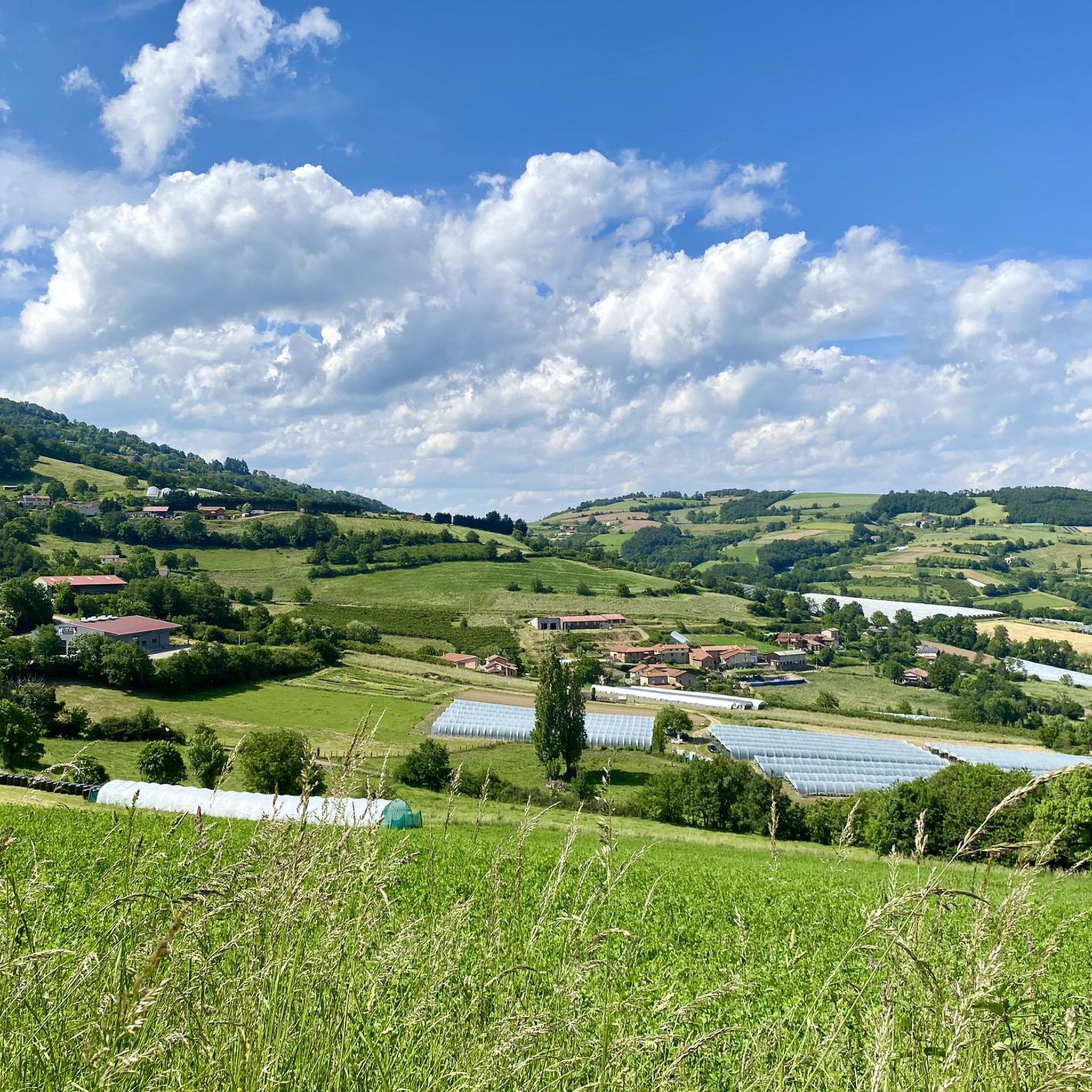
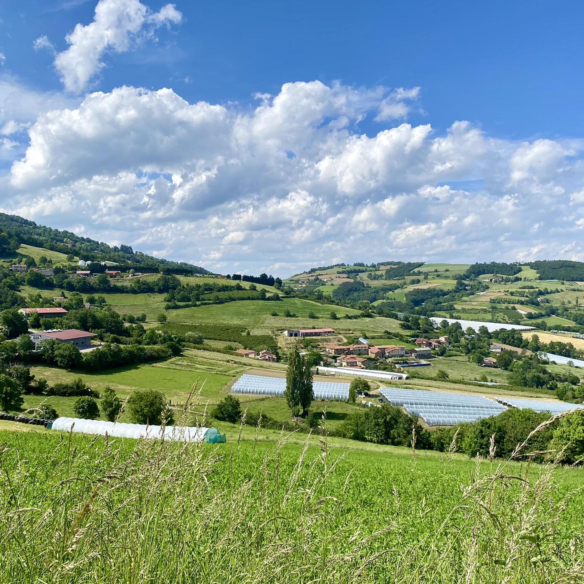
Hiking around Saint-Sorlin offers a diverse landscape characterized by rolling hills, agricultural land, and forested areas. The region features varied terrain, including paths through vineyards and along small river valleys. Elevations reach up to 934 meters at Signal St André, providing panoramic views of the surrounding countryside. The network of trails includes options for both leisurely walks and more challenging ascents.
Best hiking trails around Saint-Sorlin
- The most popular hiking route is Hiking loop from Saint-André-la-Côte, an easy 2.6…
Last updated: June 21, 2026
4.9
(7)
44
hikers
4.30km
01:15
110m
110m
Easy hike. Great for any fitness level. Easily-accessible paths. Suitable for all skill levels.
4.7
(3)
40
hikers
7.30km
02:02
140m
140m
Moderate hike. Good fitness required. Easily-accessible paths. Suitable for all skill levels.

Sign up for free
5.0
(4)
23
hikers
8.43km
02:29
230m
230m
Moderate hike. Good fitness required. Easily-accessible paths. Suitable for all skill levels.
4.8
(4)
18
hikers
Easy hike. Great for any fitness level. Easily-accessible paths. Suitable for all skill levels.
10
hikers
9.97km
03:13
440m
440m
Moderate hike. Good fitness required. Easily-accessible paths. Suitable for all skill levels.
Get access to more routes and recommendations from other explorers.
Sign up for free
Already have an account?
Our route recommendations are based on thousands of hikes, rides, and runs completed by other people on komoot.
Start today with a free account
Your next adventure awaits.
Login or Signup

Tips from the Community

High point of the Monts du Lyonnais
0
0

The Signal site, an emblematic highest point in the Monts du Lyonnais, located at 934 meters, equipped with a belvedere and an orientation table.
0
0

Interesting is the Cassini terminal, where the first surveys were carried out in 1758 to draw up the map of Lyon, a moment in history.
0
0
The 2 orientation tables at the Signal de St-André (at 934m) offer a panorama of the Rhône valley and the Metropolis of Lyon, and on clear days as far as the Alps.
0
0

The highest point of the Monts du Lyonnais, the Signal du Saint-André site has been fitted out with a belvedere and an orientation table. The viewpoint offers a 180 degree panorama over the Rhone Valley and the Alps when the weather is clear.
1
0
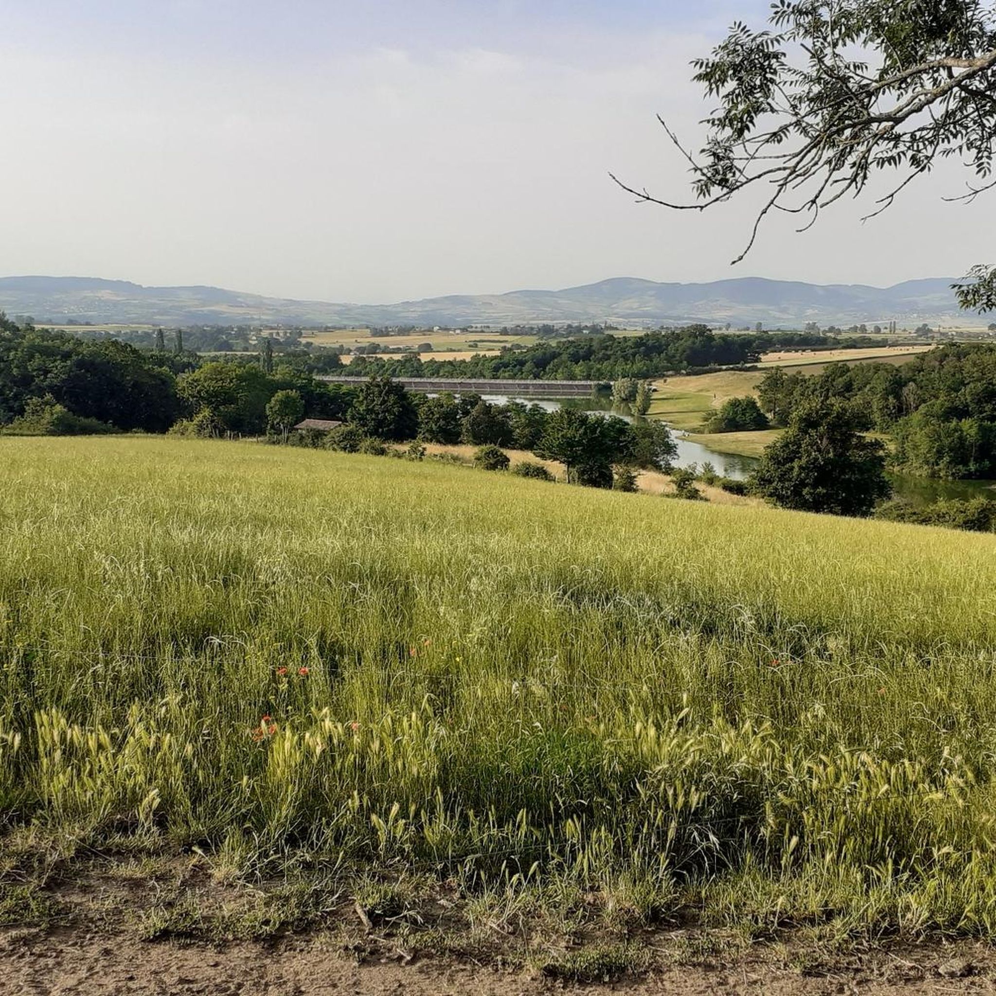
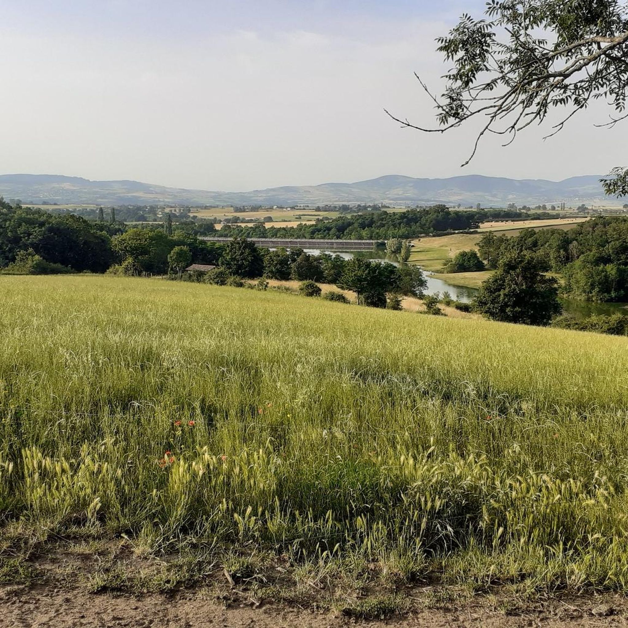
Madone Lake is a fishing pond. Since 2019, 630 floating photovoltaic panels have been installed on the lake. It is an ideal place for family outings. Dry toilets and picnic tables are available.
1
0

The highest point of the MDL is the Crêt Malherbe with an altitude of 946m against 934m for the Signal de Saint-André
1
0
Pretty lake, family, with picnic tables and a sports course all along
0
0
Frequently Asked Questions
How many hiking trails are available around Saint-Sorlin?
There are over 460 hiking routes documented around Saint-Sorlin on komoot, catering to various skill levels. This includes 142 easy routes, 278 moderate routes, and 48 more challenging trails.
Are there any family-friendly hiking options in Saint-Sorlin?
Yes, Saint-Sorlin offers many family-friendly options. Easy routes like the Hiking loop from Saint-André-la-Côte are ideal, covering 2.6 miles (4.2 km) with gentle gradients through rural settings, perfect for a leisurely outing.
What are the options for more advanced hikers in the Saint-Sorlin area?
For experienced hikers seeking a challenge, routes like Le Signal de Saint André – Signal St André (at 934m) loop from Saint-André-la-Côte offer a more strenuous experience. This moderate 9.2-mile (14.9 km) path ascends to the highest point in the area, providing expansive views.
Are there any circular walks around Saint-Sorlin?
Many of the trails around Saint-Sorlin are circular, allowing you to start and end at the same point. An example is the Madone Lake – Lac de la Madone loop from Mornant, a moderate 4.5-mile (7.3 km) route that takes you around the scenic lake.
What kind of natural landmarks or attractions can I see along the trails?
The region features several interesting natural landmarks. You can explore areas like the Prairies and Heathlands of Montagny (Protected Area) or visit the Le Signal de Saint André summit for panoramic views. There are also several lakes, including Lac de la Madone.
Is Saint-Sorlin a dog-friendly hiking destination?
Generally, the hiking trails around Saint-Sorlin are dog-friendly, especially those through woodlands and open fields. It's always recommended to keep dogs on a leash, especially near livestock or in protected natural areas like the Prairies and Heathlands of Montagny.
What is the best time of year to go hiking in Saint-Sorlin?
The best time for hiking in Saint-Sorlin is typically from spring through autumn (April to October). During these months, the weather is generally pleasant, and the landscapes are vibrant. Spring brings blooming wildflowers, while autumn offers beautiful foliage.
Are there any hikes that lead to viewpoints or high points?
Yes, several routes lead to elevated points offering great views. The Signal St André (at 934m) – Le Signal de Saint André loop from Saint-André-la-Côte is an excellent choice, taking you to the Signal St André, the highest point in the area, with expansive vistas of the surrounding countryside.
What do other hikers say about the trails in Saint-Sorlin?
The trails in Saint-Sorlin are highly regarded by the komoot community, with an average rating of 4.5 stars from over 880 reviews. Hikers often praise the diverse landscapes, including rolling hills, dense woodlands, and open agricultural areas, as well as the well-maintained paths.
Are there any opportunities for wild swimming near the hiking trails?
While Saint-Sorlin is not primarily known for wild swimming, there are several lakes in the vicinity. Lac de la Madone and Lac du Ronzey are popular spots, though it's advisable to check local regulations regarding swimming before entering the water.
Is public transport available to reach the hiking trailheads?
Public transport options directly to all trailheads around Saint-Sorlin can be limited. It is often recommended to use a car to access many of the starting points, especially for routes further from the main villages. Some local bus services might connect larger towns, but specific trailhead access may require planning.
Are there any specific parking facilities for hikers?
Parking is generally available in or near the villages where many trails begin, such as Saint-André-la-Côte or Mornant. Look for designated parking areas or roadside parking that respects local regulations. It's always a good idea to arrive early during peak seasons to secure a spot.
Most popular routes around Saint-Sorlin
Most popular attractions around Saint-Sorlin

Get inspired with the komoot mobile app


Explore more
Browse the best Hikes in other regions.
