The best walks and hikes around Montagoudin
4.6
(23)
129
hikers
24
hikes
Hiking around Montagoudin is characterized by the flat to gently rolling terrain of the Gironde region in Nouvelle-Aquitaine, France. The landscape features river valleys, notably the Garonne Canal, and agricultural areas, including vineyards. Elevation changes are generally modest, making many routes accessible for easy hikes near Montagoudin. The area offers a mix of open countryside and paths alongside waterways.
Best hiking trails around Montagoudin
- The most popular hiking route is Château de La Réole loop from La Réole, a…
Last updated: June 26, 2026
5.0
(1)
11
hikers
Hard hike. Very good fitness required. Easily-accessible paths. Suitable for all skill levels.
2.0
(2)
6
hikers
9.46km
02:36
150m
150m
Moderate hike. Good fitness required. Easily-accessible paths. Suitable for all skill levels.

Sign up for free
4.7
(3)
7
hikers
29.3km
07:45
280m
280m
Hard hike. Very good fitness required. Easily-accessible paths. Suitable for all skill levels.
4.0
(1)
7
hikers
25.8km
06:38
120m
120m
Hard hike. Very good fitness required. Easily-accessible paths. Suitable for all skill levels.
10
hikers
Moderate hike. Good fitness required. Easily-accessible paths. Suitable for all skill levels.
Get access to more routes and recommendations from other explorers.
Sign up for free
Already have an account?
Our route recommendations are based on thousands of hikes, rides, and runs completed by other people on komoot.
Start today with a free account
Your next adventure awaits.
Login or Signup

Tips from the Community

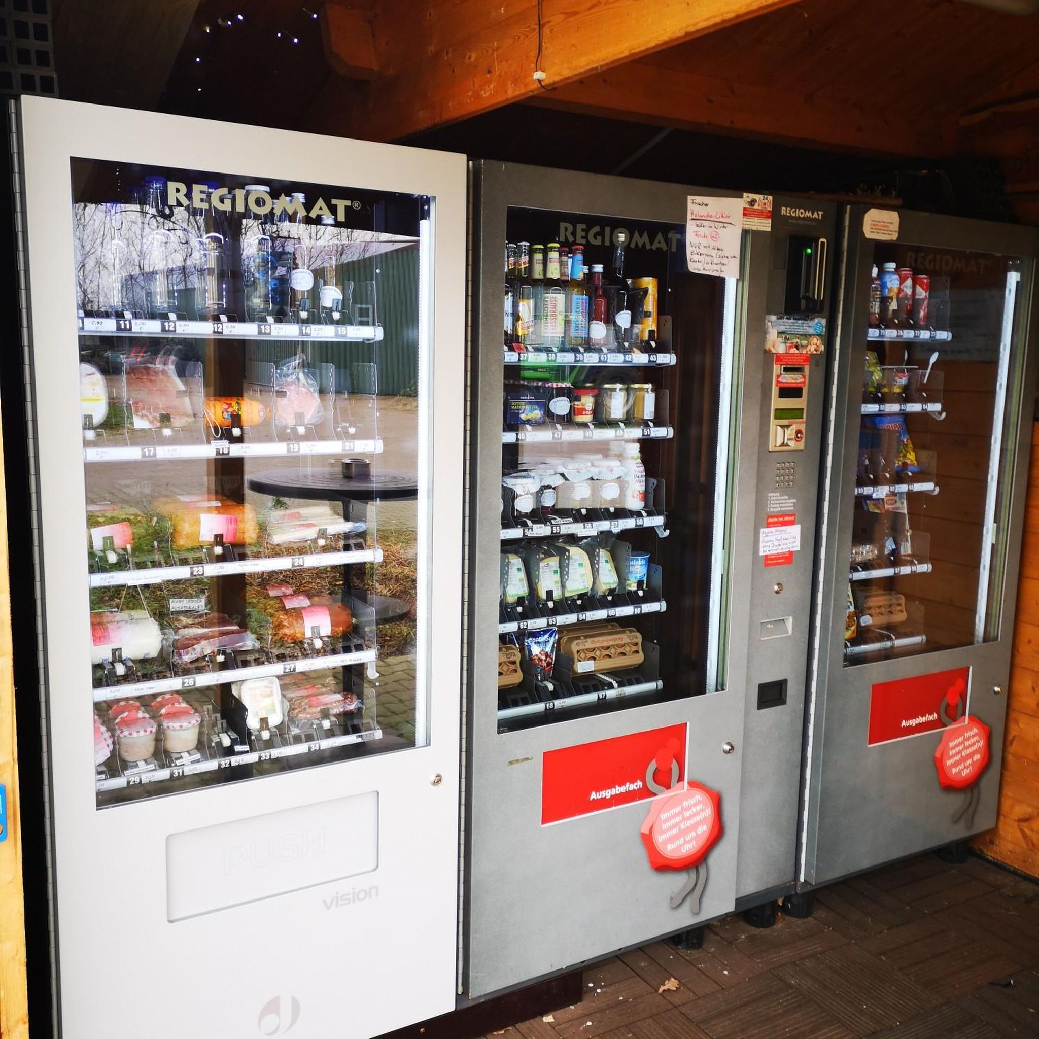
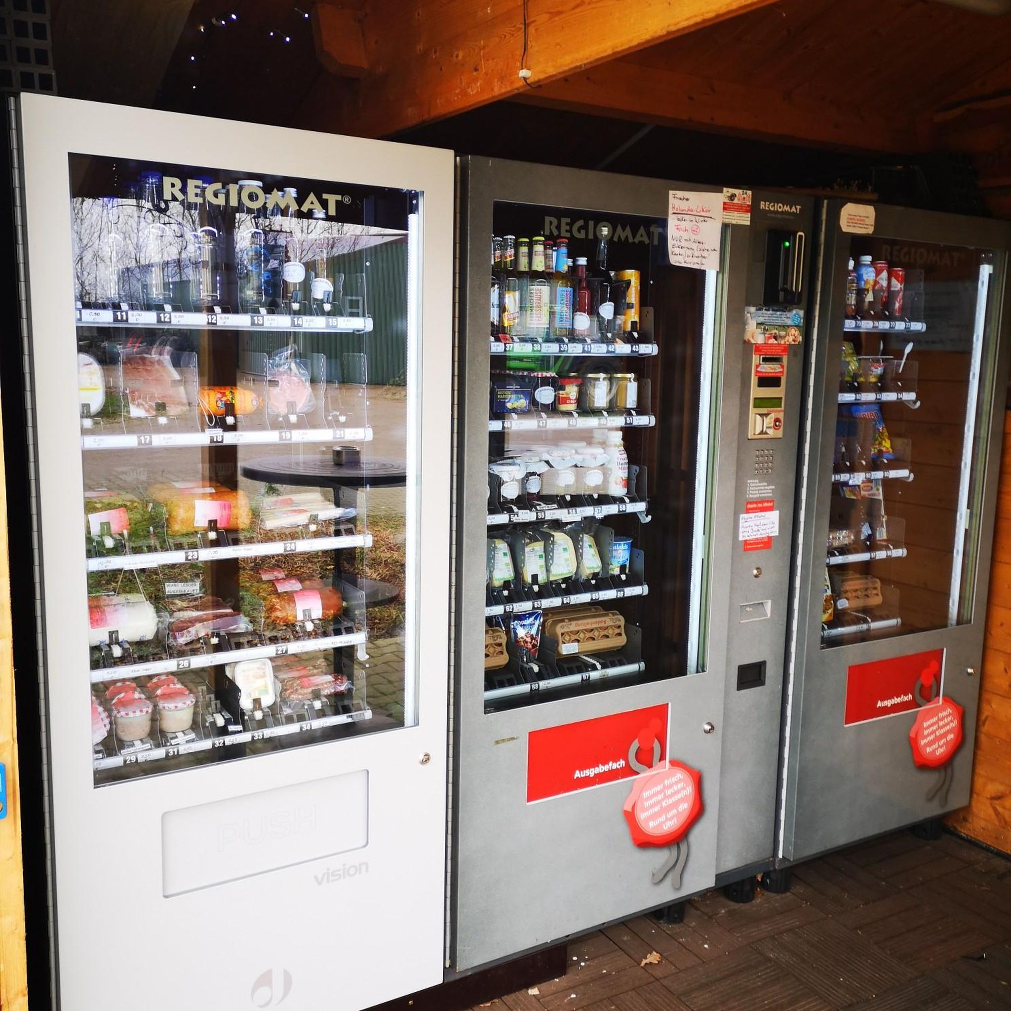
Very pretty and well decorated, the prices are super affordable and the setting is ideal for a break
0
0

Very interesting flood marks, sometimes you can't even imagine how high the water once was.
1
0

We're luckier today, August 15th. The bicycle and skeleton have made way for a list of consumption options.
1
0

Quiet cycle path along the canal
0
0


I hope a bit of advertising is allowed. There is a marvellous B&B / gîte - Haras de la Tour - just 2.5 km off all of these routes at Lamothe-Landerron. Many cyclists have stayed here. Have a look at http://www.harastour.com/ It is 5 km from the start point at Sainte-Bazeille. If you get lost I can come and cycle back with you.
0
0

Seen from Toulouse, the last lock on the side canal.
3
1
Frequently Asked Questions
How many hiking trails are available around Montagoudin?
There are over 19 hiking routes around Montagoudin, offering a variety of experiences from easy strolls to more challenging long-distance paths. The terrain is generally flat to gently rolling, characteristic of the Gironde region.
Are there any easy hikes suitable for beginners or families in Montagoudin?
Yes, Montagoudin offers several easy routes. For a shorter, accessible option, consider the Ship birth on the canal – Aqueduct in Meilhan-sur-Garonne loop from Meilhan-sur-Garonne, which is about 3.5 km long and takes just under an hour to complete. Many trails along the Garonne Canal are also relatively flat and easy.
What kind of long-distance hiking options are there in the Montagoudin area?
For those seeking longer adventures, Montagoudin features several extended routes. The Rouergue Bridge – The Canal Latéral à la Garonne loop from Gare de La Réole is a challenging 25.8 km trail, often completed in around 6 hours 38 minutes. Another option is the 22.5 km Canal latéral à la Garonne – Castets Lock, no. 53 loop from Blaignac, which follows the Garonne Canal.
What can I see along the hiking trails in Montagoudin?
Many trails in Montagoudin follow the Garonne Canal, offering views of the waterway and surrounding countryside. You can also explore historic sites like the Le Moulin de Loubens or the Bassanne Lock. The Château de La Réole loop from La Réole specifically explores the historic surroundings of La Réole, including its château.
Are there any circular hiking routes around Montagoudin?
Yes, many of the trails around Montagoudin are designed as loops. Examples include the popular Château de La Réole loop from La Réole, the challenging Canal latéral à la Garonne – Castets Lock, no. 53 loop from Blaignac, and the Rouergue Bridge – The Canal Latéral à la Garonne loop from Gare de La Réole.
What is the best time of year to go hiking in Montagoudin?
The Gironde region generally experiences mild weather, making spring and autumn ideal for hiking. These seasons offer pleasant temperatures and beautiful scenery, especially with the vineyards. Summer can be warm, so early morning or late afternoon hikes are recommended then.
What do other hikers enjoy most about the trails in Montagoudin?
The trails in Montagoudin are highly rated by the komoot community, with an average score of 4.6 stars from over 17 reviews. Hikers often praise the peaceful paths along the Garonne Canal, the charming vineyard landscapes, and the accessibility of many routes for different skill levels.
Are the hiking trails in Montagoudin dog-friendly?
Many trails in the Montagoudin area, particularly those along the Garonne Canal and through open countryside, are suitable for dogs. It's always recommended to keep dogs on a leash, especially near agricultural areas or wildlife, and to carry water for both yourself and your pet.
Is public transport available to access hiking trails near Montagoudin?
While specific public transport links directly to trailheads might be limited, the town of La Réole, which serves as a starting point for several routes like the Rouergue Bridge – The Canal Latéral à la Garonne loop, has a train station (Gare de La Réole). Checking local bus services for smaller villages near other trail starts is advisable.
Where can I find parking for hiking in Montagoudin?
Parking is generally available in the towns and villages that serve as starting points for the trails, such as La Réole, Blaignac, Meilhan-sur-Garonne, and Fontet. Look for designated public parking areas, especially near canal access points or town centers.
What should I wear for hiking in Montagoudin?
Given the generally flat to gently rolling terrain, comfortable walking shoes or light hiking boots are usually sufficient. Dress in layers to adapt to changing weather, and bring sun protection, especially during warmer months, as many paths are exposed.
Are there any trails suitable for winter hiking in Montagoudin?
The mild climate of the Gironde region means that many trails remain accessible during winter. The paths along the Garonne Canal are particularly suitable as they are less prone to heavy snow or ice. Always check local weather conditions before heading out.
Most popular attractions around Montagoudin

Get inspired with the komoot mobile app


Explore more
Browse the best Hikes in other regions.
