The best walks and hikes around La Frette-Sur-Seine
4.5
(836)
6,318
hikers
496
hikes
Hiking around La Frette-Sur-Seine offers diverse landscapes along the right bank of the Seine River. The area features gentle slopes leading to the riverfront and hillsides with elevations ranging from 23 to 83 meters. Proximity to the Forest of Saint-Germain-en-Laye provides opportunities for extended hikes through woodlands. The region's geology includes varied layers of marls, limestones, and sands, contributing to the varied terrain.
Best hiking trails around La Frette-Sur-Seine
- The most popular hiking route is Inland water transport museum – Montjoie Tower loop from Herblay-sur-Seine, a 6.2 miles (10.0 km) trail that takes 2 hours 31 minutes to complete. This route offers views of the Seine and local landmarks.
- Another top favourite among local hikers is Rinvals Wood – Jacques Verniol Cross loop from La Frette - Montigny, a moderate 6.8 miles (11.0 km) path. It traverses woodlands and offers varied terrain.
- Local hikers also love the Quai du génie – View of the Seine loop from La Frette - Montigny, a 6.8 miles (10.9 km) trail leading through riverfront areas, often completed in about 2 hours 51 minutes.
- Hiking around La Frette-Sur-Seine is defined by Seine river banks, varied hillsides, and the nearby Forest of Saint-Germain-en-Laye. The network offers options for different ability levels.
- The routes in La Frette-Sur-Seine are highly rated by the komoot community with an average score of 4.5 stars from over 750 reviews. More than 6000 hikers have used komoot to explore La Frette-Sur-Seine's varied terrain.
Last updated: July 1, 2026
4.2
(6)
49
hikers
10.0km
02:32
20m
20m
Moderate hike. Good fitness required. Easily-accessible paths. Suitable for all skill levels.
4.3
(9)
50
hikers
11.0km
03:02
190m
190m
Moderate hike. Good fitness required. Easily-accessible paths. Suitable for all skill levels.

Sign up for free
4.5
(2)
31
hikers
6.03km
01:39
100m
100m
Easy hike. Great for any fitness level. Easily-accessible paths. Suitable for all skill levels.
31
hikers
6.82km
01:47
60m
60m
Easy hike. Great for any fitness level. Easily-accessible paths. Suitable for all skill levels.
5.0
(1)
21
hikers
11.6km
03:03
110m
110m
Moderate hike. Good fitness required. Easily-accessible paths. Suitable for all skill levels.
Get access to more routes and recommendations from other explorers.
Sign up for free
Already have an account?
Our route recommendations are based on thousands of hikes, rides, and runs completed by other people on komoot.
Start today with a free account
Your next adventure awaits.
Login or Signup
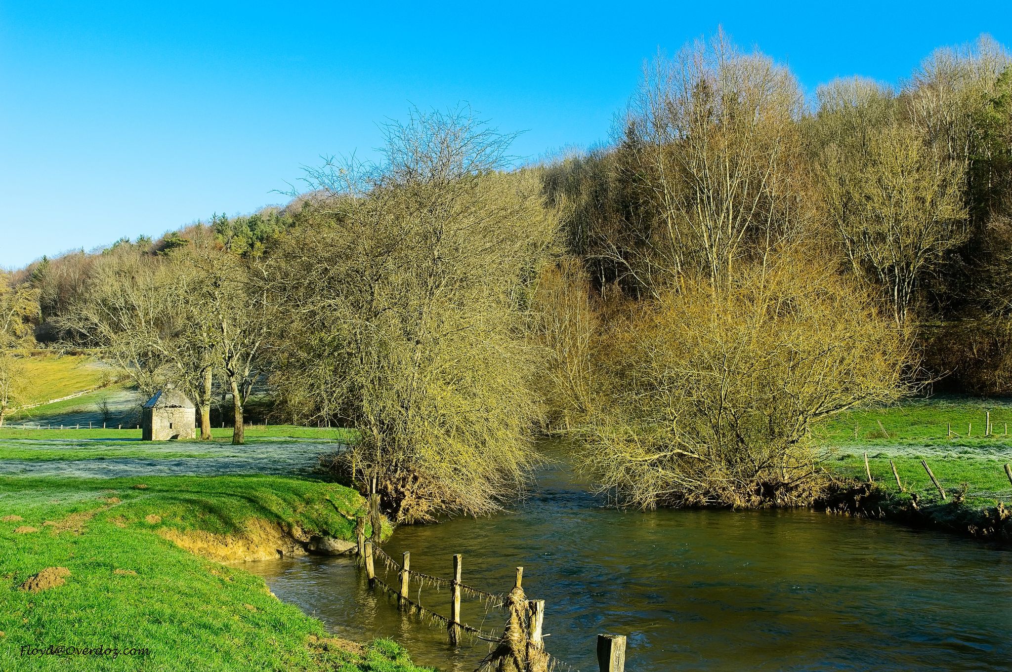
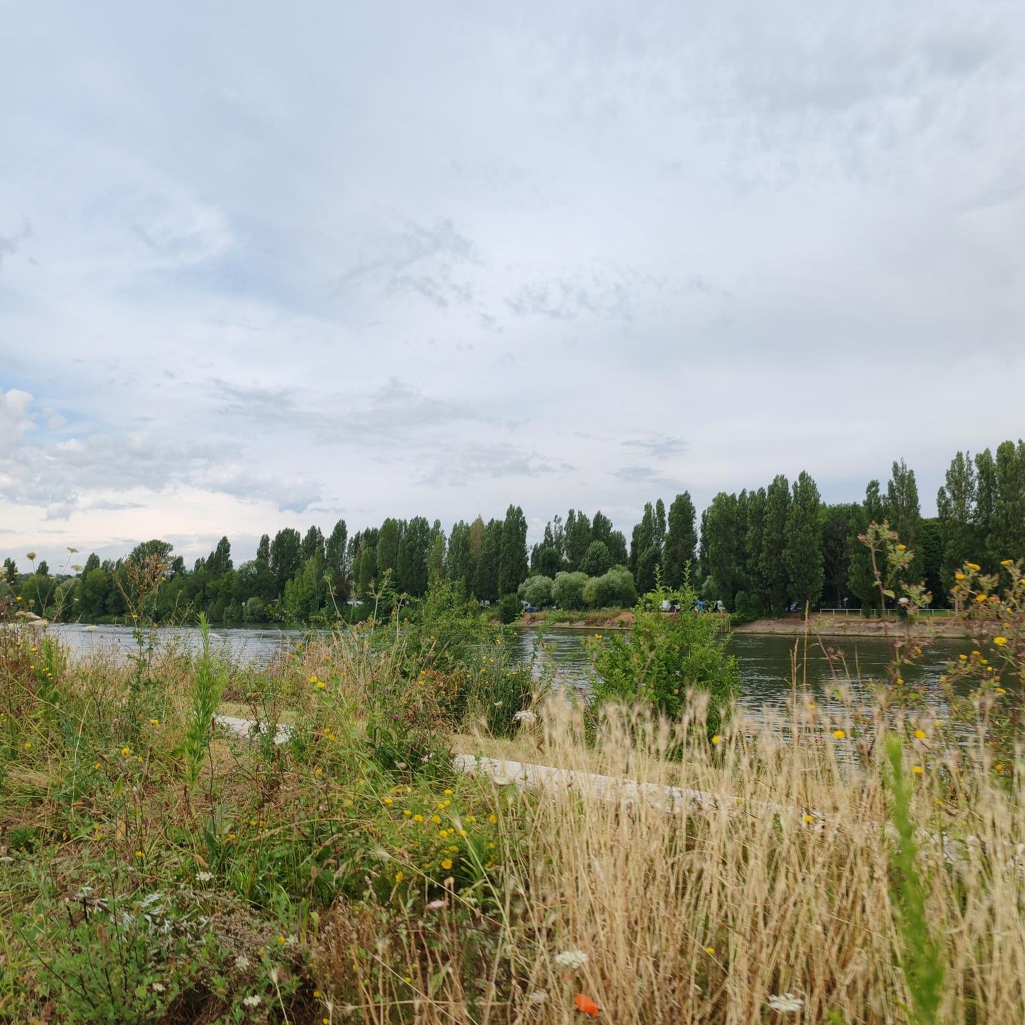
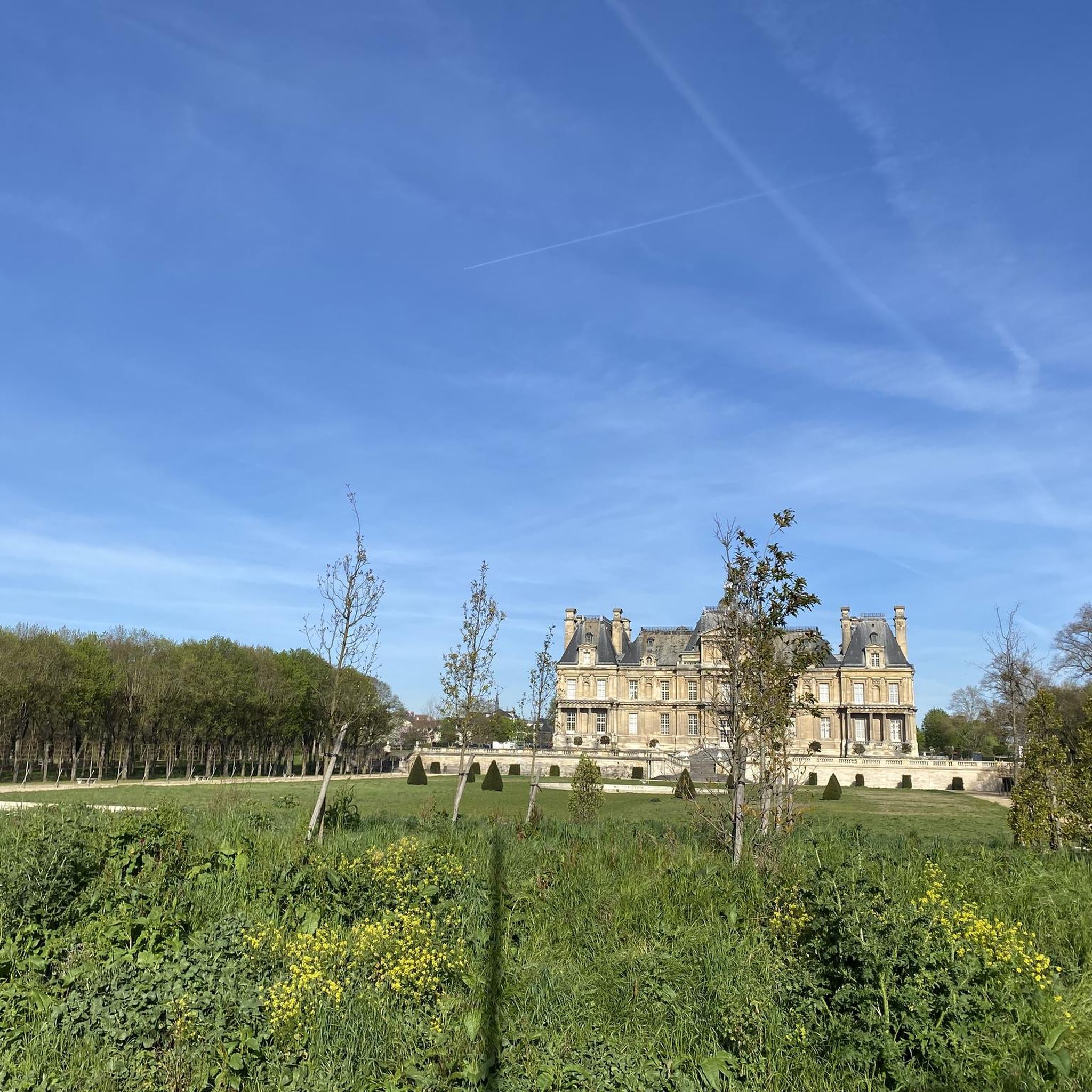

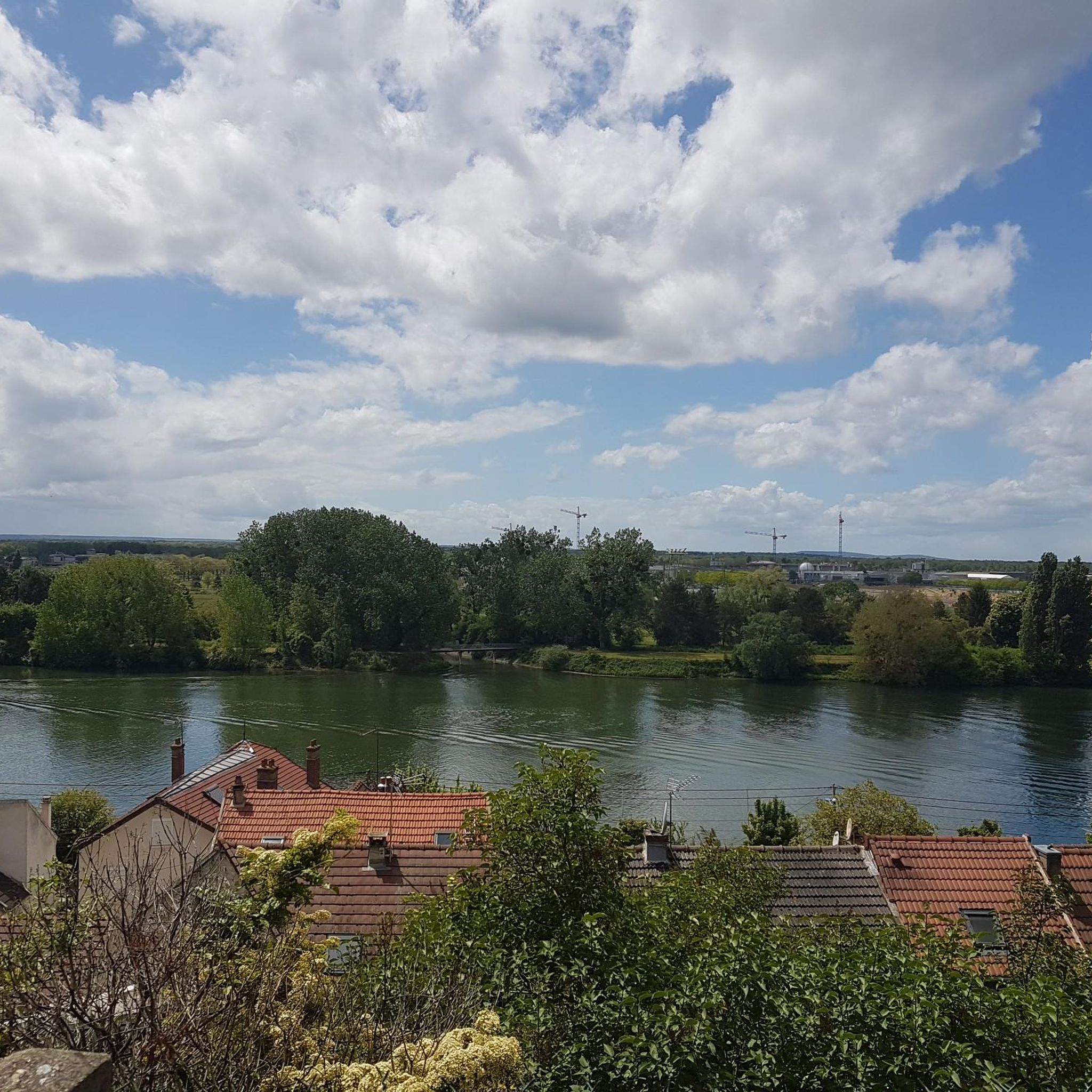

Other adventures around La Frette-Sur-Seine

Tips from the Community

This bank of the Seine brings freshness and serenity
0
0

Entrance to the Cormeilles woods via the spring and the fountains a little higher up.
0
0

Monument "La Tour Montjoie" with a small park
0
0

The banks of the Seine between Conflans Sainte Honorine and La Frette sur Seine are very pleasant both on foot and by bike. The docks are well laid out on most of the route
0
0

This beautiful segment runs along the Seine a few meters from the water. It is quite peaceful, sometimes closed to car traffic. It is therefore the opportunity to find yourself in intimacy with the river, before arriving in Conflans-Saint-Honorine, a quite picturesque town of Yvelines, where you can refuel.
0
0
Ideal for washing crampons, I'm not kidding! However, after my expedition through the fallen trees, it was still very practical. 😋
0
0

Hello water drinkers. Take advantage of this fountain to fill your water bottles, because the water is good, despite the place being surrounded by massive urbanization....
0
0
Frequently Asked Questions
How many hiking trails are available around La Frette-sur-Seine?
There are over 500 hiking routes around La Frette-sur-Seine, offering a wide variety of options for different skill levels and preferences. You'll find everything from easy riverside strolls to more challenging woodland paths.
What kind of terrain can I expect on hikes in La Frette-sur-Seine?
The terrain around La Frette-sur-Seine is quite varied. You can expect charming strolls along the Seine riverbanks, gentle slopes, and hillsides with elevations ranging from 23 to 83 meters. The area also features varied alternating layers of marls, limestones, and sands, contributing to diverse paths. Proximity to the Forest of Saint-Germain-en-Laye means you'll also find woodland trails.
Are there any easy hiking trails suitable for beginners or families?
Yes, there are over 270 easy routes available. An excellent option for an easy hike is the Jacques Verniol Cross – Rinvals Wood loop from Cormeilles-en-Parisis, which is 6.0 km long and takes about 1 hour 39 minutes. Another easy choice is the Quai du génie loop from Herblay-sur-Seine, covering 6.8 km in about 1 hour 47 minutes.
What are some interesting natural landmarks or points of interest to see while hiking?
Hikers can enjoy the scenic Seine riverbanks and the elevated views from the hillsides. Near the Forest of Saint-Germain-en-Laye, you'll find Corra Pond, a natural area perfect for a stop or picnic. The confluence of the Seine and Oise rivers is also a notable natural landmark visible from the opposite bank.
Are there any circular hiking routes in the area?
Yes, many routes around La Frette-sur-Seine are circular. For example, the Inland water transport museum – Montjoie Tower loop from Herblay-sur-Seine is a moderate 9.9 km circular trail. Another popular circular option is the Rinvals Wood – Jacques Verniol Cross loop from La Frette - Montigny, which is 11.0 km long and traverses woodlands.
What do other hikers say about the trails in La Frette-sur-Seine?
The hiking routes in La Frette-sur-Seine are highly rated by the komoot community, with an average score of 4.5 stars from over 750 reviews. More than 6000 hikers have used komoot to explore the varied terrain, often praising the scenic river views and the peaceful woodland paths.
Is La Frette-sur-Seine a good place for dog-friendly walks?
While specific dog-friendly regulations can vary, the diverse landscapes of La Frette-sur-Seine, including riverbanks and woodlands, generally offer pleasant environments for walks with dogs. It's always recommended to keep dogs on a leash, especially in nature reserves or near wildlife, and to check local signage for any specific restrictions.
What is the best time of year to go hiking in La Frette-sur-Seine?
La Frette-sur-Seine is enjoyable for hiking throughout much of the year. Spring and autumn offer pleasant temperatures and beautiful scenery, with blooming flowers or vibrant fall foliage. Summer provides warm weather for riverside strolls, while winter can offer crisp, quiet walks, especially in the nearby forests.
Are there any amenities like cafes or picnic spots along the trails?
The region offers a pleasant cycle path along the Seine with shade, play, and picnic areas, which hikers can also utilize. Additionally, Corra Pond is noted as a perfect spot for picnics during a hike. For cafes and other amenities, you would typically find them within the town of La Frette-sur-Seine or nearby villages.
How can I access the hiking trails using public transport?
La Frette-sur-Seine is located approximately 20 kilometers northwest of Paris, making it accessible by public transport from the capital. The town has a train station (La Frette - Montigny) on the Transilien J line, which connects to Paris Saint-Lazare. Many trails start directly from or are easily reachable from the town center or the station.
Are there any longer, more challenging hikes available?
Yes, for those seeking more challenging routes, there are 33 difficult trails in the area. While not explicitly 'difficult' in grade, routes like the Quai du génie – View of the Seine loop from La Frette - Montigny, at 10.9 km, offer a good moderate challenge with varied terrain and riverfront views.
Most popular routes around La Frette-Sur-Seine
Most popular attractions around La Frette-Sur-Seine

Get inspired with the komoot mobile app


Explore more
Browse the best Hikes in other regions.
