The best MTB trails around Grandeyrolles
4.3
(579)
2,103
riders
161
rides
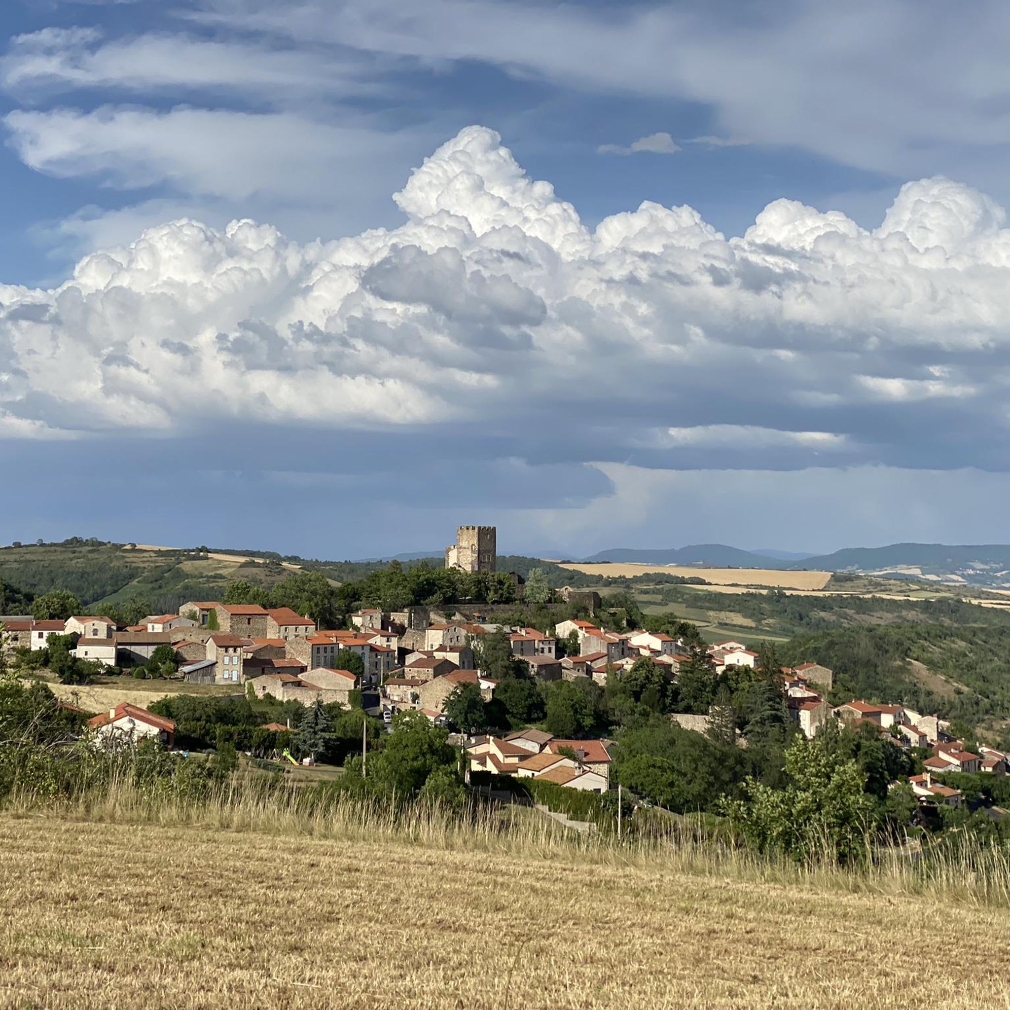
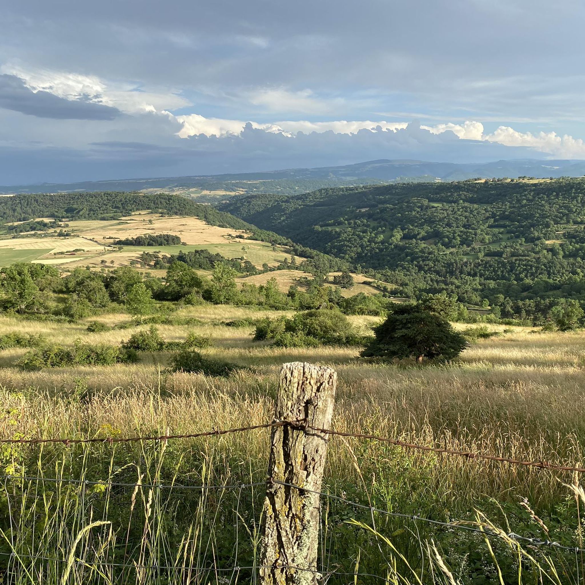
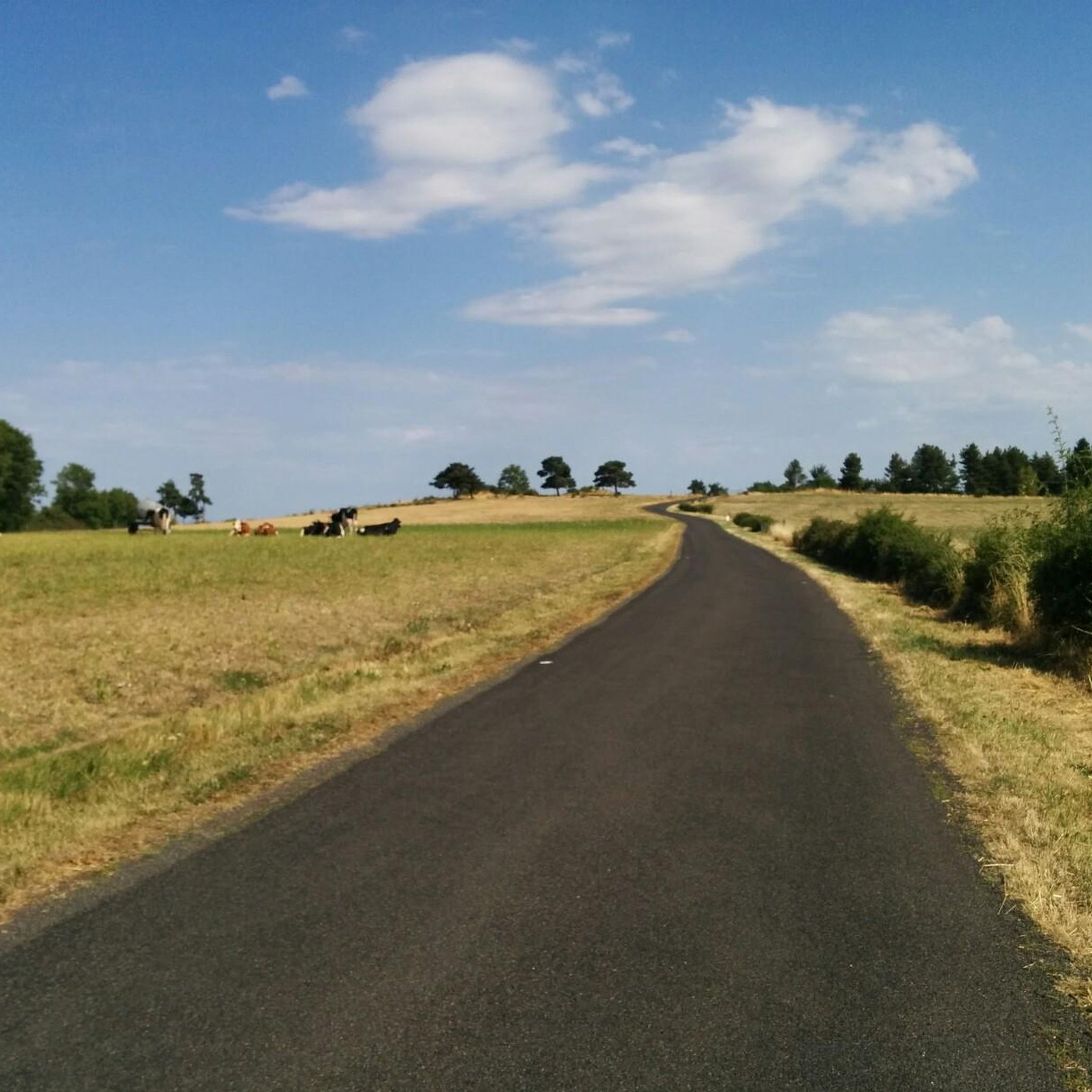
Mountain bike trails around Grandeyrolles are set within the volcanic landscapes of the Auvergne-Rhône-Alpes region in France. The area features a varied terrain shaped by ancient lava flows, including volcanic peaks, hills, and high mountain plateaus. Riders can expect routes that traverse lush forests and open green plateaus, providing diverse gradients and technical challenges. This region is part of the Puy-de-Dôme, known for its extensive network of mountain biking routes.
Best mountain bike trails around Grandeyrolles
- The most popular mountain…
Last updated: May 18, 2026
4.3
(7)
38
riders
21.9km
01:55
480m
480m
Moderate mountain bike ride. Good fitness required. Advanced riding skills necessary.
4.4
(8)
18
riders
39.5km
03:26
840m
840m
Moderate mountain bike ride. Good fitness required. Advanced riding skills necessary.

Sign up for free
4.9
(10)
31
riders
23.0km
02:09
530m
530m
Moderate mountain bike ride. Good fitness required. Suitable for all skill levels.
4.3
(8)
32
riders
19.9km
01:46
440m
440m
Moderate mountain bike ride. Good fitness required. Advanced riding skills necessary.
5.0
(4)
18
riders
27.4km
02:27
580m
580m
Moderate mountain bike ride. Good fitness required. Suitable for all skill levels.
Get access to more routes and recommendations from other explorers.
Sign up for free
Already have an account?
Our route recommendations are based on thousands of hikes, rides, and runs completed by other people on komoot.
Start today with a free account
Your next adventure awaits.
Login or Signup

Tips from the Community

great but you have to pay to even get in
0
0


Nice little bustling place. Luckily the weather wasn't so good, otherwise there would definitely be more going on. More info: https://de.wikipedia.org/wiki/Murol?wprov=sfla1.
0
0


At Saillant, the Couze Chambon meets an old lava flow, creating a pretty little waterfall 7m high. Going up the Couze towards Sapchat also offers lovely moments in the undergrowth.
0
0
Lovely views of the emblematic Murol castle, perched on its rocky spur with the Sancy in the background.
0
0
The church of Saint-Nectaire dominates the town on Mount Cornadore. It was built between 1146 and 1178 and is dedicated to Saint Nectaire, who was the evangelizer of Auvergne.
0
0
Lake Chambon owes its origin to a volcanic flow that obstructed the Couze Chambon. Beaches are set up on the northern and western parts of the lake but it is possible to go around it to enjoy the calm of nature on the southern banks.
0
0
Frequently Asked Questions
What kind of terrain can I expect on mountain bike trails around Grandeyrolles?
The mountain bike trails around Grandeyrolles are characterized by the region's dramatic volcanic terrain. You'll encounter routes that wind through lush forests, ancient lava flows, and picturesque valleys, offering a mix of gradients and technical challenges. The area features volcanic peaks ('puys'), hills, and high mountain plateaus, providing a diverse and engaging riding experience.
Are there mountain bike trails for all skill levels in Grandeyrolles?
Yes, the Grandeyrolles area offers a wide variety of mountain bike routes suitable for all skill levels. The network includes options for easy, moderate, and difficult routes, catering to beginners as well as experienced mountain bikers. Overall, there are 153 mountain bike tours, with 17 easy, 115 moderate, and 21 difficult trails available.
Are there family-friendly mountain bike trails in Grandeyrolles?
While specific 'family-friendly' designations aren't always explicit, the region does offer 17 easy mountain bike trails that could be suitable for families. These routes typically feature less challenging terrain and shorter distances, allowing for a more relaxed ride. Look for trails with lower elevation gains and smoother paths.
When is the best time of year to go mountain biking in Grandeyrolles?
The best time to go mountain biking in Grandeyrolles is generally during the spring, summer, and early autumn months. During these seasons, the weather is typically more favorable, and the trails are in good condition. The lush forests and green plateaus are particularly beautiful during these times.
What are some notable natural features or landmarks I might see while mountain biking?
The region around Grandeyrolles is rich in natural beauty and historical sites. While riding, you might encounter volcanic peaks, ancient lava flows, and scenic valleys. Nearby attractions include natural lakes like Lac Pavin and Lac du Guery. You can also explore highlights such as Lake Aydat, the Jonas Caves, or the La Monne Stream.
Are there any loop trails for mountain biking in Grandeyrolles?
Yes, many mountain bike trails in the Grandeyrolles area are designed as loops, allowing you to start and finish at the same point. For example, the Saint-Nectaire and Lac Chambon Loop is a popular moderate route offering scenic views. Another option is the Lac Chambon Beach – Saint-Nectaire loop from Saint-Nectaire.
What do other mountain bikers enjoy the most about mountain biking in Grandeyrolles?
The mountain biking experience in Grandeyrolles is highly rated by the komoot community, with an average score of 4.3 stars from over 600 reviews. Riders often praise the diverse volcanic relief, dense forests, and high mountain plateaus that define the routes, as well as the variety of options for different skill levels.
Where can I find parking for mountain biking trails in Grandeyrolles?
Parking is generally available at trailheads or near popular starting points for mountain bike routes in the Grandeyrolles area. Specific parking details often vary by individual route, so it's advisable to check the route description on komoot for the most accurate information regarding starting points and parking facilities.
Can I bring my dog on the mountain bike trails in Grandeyrolles?
While many outdoor areas in France are dog-friendly, it's always best to check local regulations for specific trails or protected natural areas. Generally, if dogs are permitted, they should be kept on a leash to protect wildlife and ensure the safety of other trail users. Always practice responsible pet ownership by cleaning up after your dog.
Are there any historical sites or charming villages to visit near the trails?
Yes, the area around Grandeyrolles is rich in history and culture. You can find charming villages like Saint-Nectaire and Saint-Floret, known for their Romanesque churches. The 11th-century Romanesque Eglise Saint-Loup in Grandeyrolles itself and the 13th-century Tour de Rognon are also notable. The town of Saint-Nectaire is a highlight often passed by trails.
How long do mountain bike trails typically take to complete in this region?
The duration of mountain bike trails in Grandeyrolles varies significantly based on distance, elevation, and difficulty. For example, the moderate Farges MTB Circuit (21.9 km) typically takes about 1 hour 55 minutes, while the longer Saint-Nectaire – Murol loop from Saint-Nectaire (27.4 km) might take around 2 hours 27 minutes. You can find estimated durations for each route on komoot.
Most popular routes around Grandeyrolles
Most popular attractions around Grandeyrolles

Get inspired with the komoot mobile app


Explore more
Browse the best MTB trails in other regions.
