The best cycling routes around Bad Soden-Salmünster
4.4
(1460)
4,790
riders
156
rides
Touring cycling routes around Bad Soden-Salmünster traverse a landscape characterized by rolling hills, dense forests, and river valleys within the Spessart Nature Park. The region features varied terrain, including paths along the Kinzig River and its reservoir. Elevations are generally moderate, with many routes offering gradual ascents and descents. This area provides a natural setting for cycling, with a mix of paved and unpaved surfaces.
Best touring cycling routes around Bad Soden-Salmünster
- The most popular touring cycling route is Kinzig Reservoir – Schlüchtern Abbey loop from Bad Soden-Salmünster, a 21.0 miles (33.8 km) trail that takes 2 hours 5 minutes to complete. This route follows the Kinzig valley, passing by the Kinzig Reservoir and Schlüchtern Abbey.
- Another top favourite among local touring cyclists is Hans Engelfried Bridge – Auen Valley near Bad Orb loop from Romsthal, a moderate 24.1 miles (38.7 km) path. This route explores the Auen Valley, offering views near Bad Orb.
- Local touring cyclists also love the Rückinger Mill – Kinzigtal Cycle Path loop from Bad Soden-Salmünster, a 50.0 miles (80.4 km) trail leading through the Kinzigtal, often completed in about 4 hours 36 minutes.
- Touring cycling around Bad Soden-Salmünster is defined by rolling hills, dense forests, and the Kinzig River valley. The network offers options for easy, moderate, and difficult routes, catering to various ability levels.
- The routes in Bad Soden-Salmünster are highly rated by the komoot community with an average score of 4.5 stars from over 1,100 reviews. More than 3,800 touring cyclists have used komoot to explore Bad Soden-Salmünster's varied terrain.
Last updated: October 4, 2026
4.7
(516)
768
riders
35.6km
02:09
170m
170m
Moderate bike ride. Good fitness required. Mostly paved surfaces. Suitable for all skill levels.
4.5
(111)
424
riders
82.6km
04:45
220m
220m
Moderate bike ride. Good fitness required. Mostly paved surfaces. Suitable for all skill levels.

4.7
(39)
169
riders
Easy bike ride. Great for any fitness level. Mostly paved surfaces. Suitable for all skill levels.
4.8
(78)
110
riders
Moderate bike ride. Good fitness required. Mostly paved surfaces. Suitable for all skill levels.
4.4
(54)
180
riders
Easy bike ride. Great for any fitness level. Mostly paved surfaces. Suitable for all skill levels.
Get access to more routes and recommendations from other explorers.
Already have an account?
Our route recommendations are based on thousands of hikes, rides, and runs completed by other people on komoot.
Start today with a free account
Your next adventure awaits.
Popular around Bad Soden-Salmünster
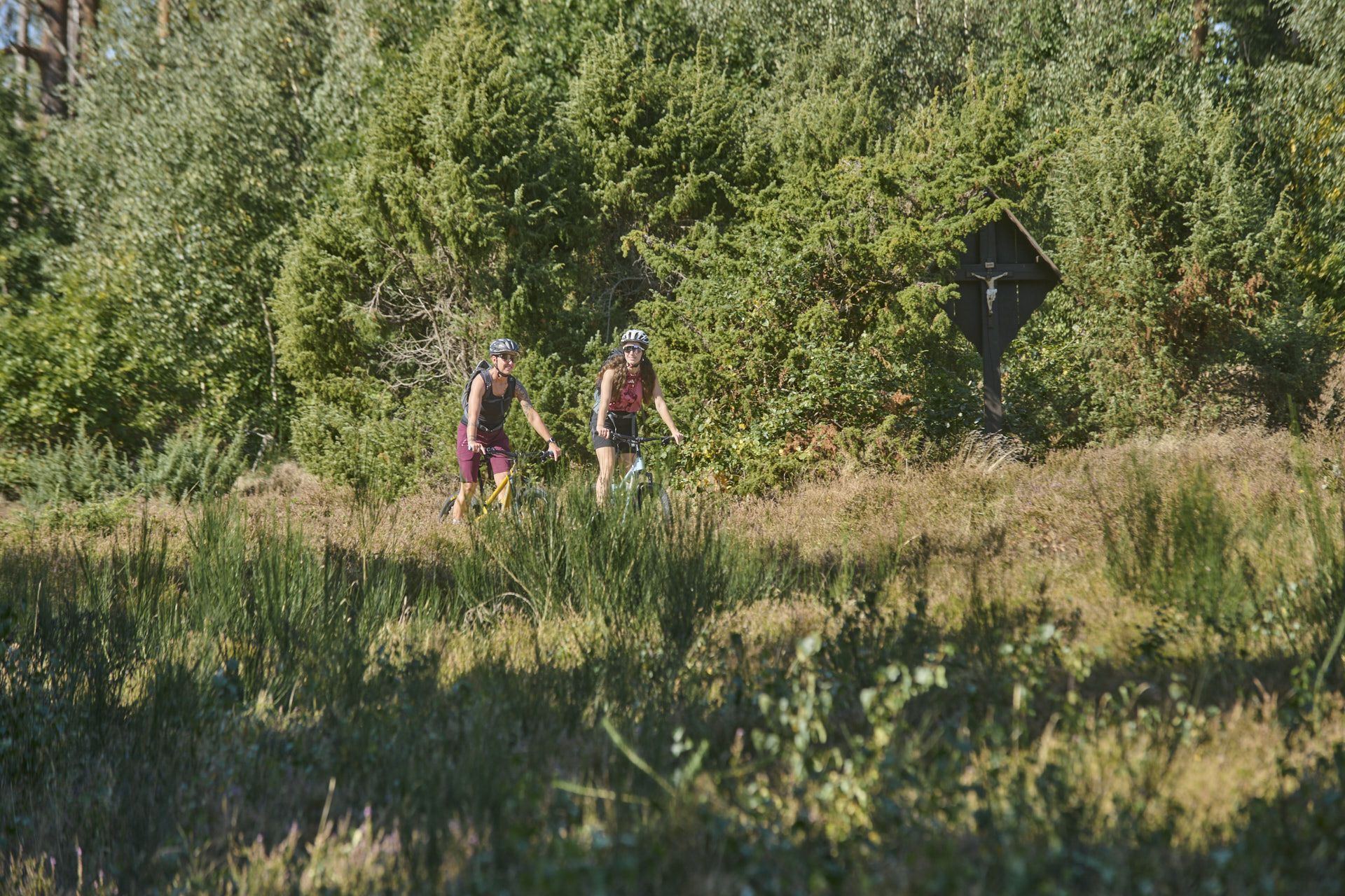
Nature, trails and local cuisine – MTB in the Spessart
Relaxed hiking in the Spessart – short trails of discovery
Pleasure hiking in the Spessart: trails that taste as good as they look

Winter adventures by public transport – hikes for the whole family

Thousands of kilometres of hiking fun – long-distance hiking trails in Bavaria
Endless forests, flowing trails – MTB in Germany’s Spessart region
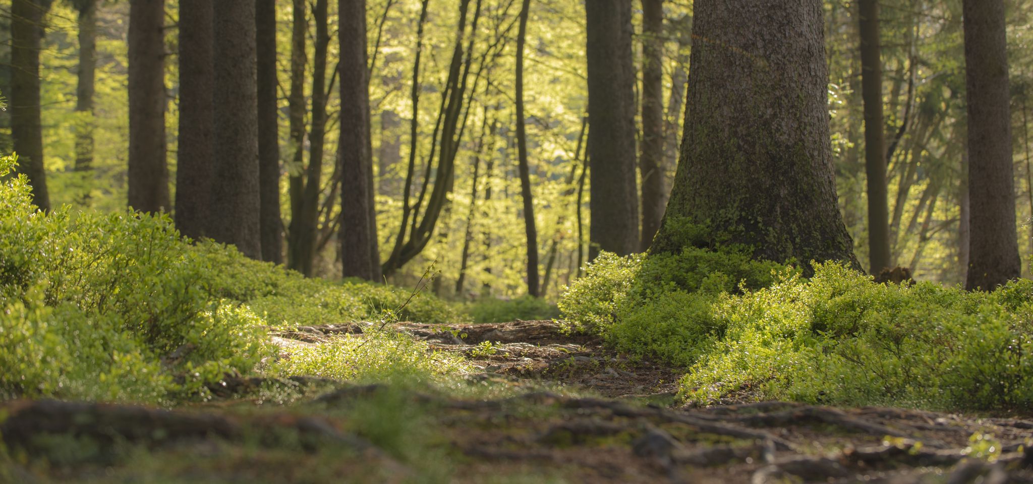
Mountain biking in the Spessart – Awesome trails in Germany
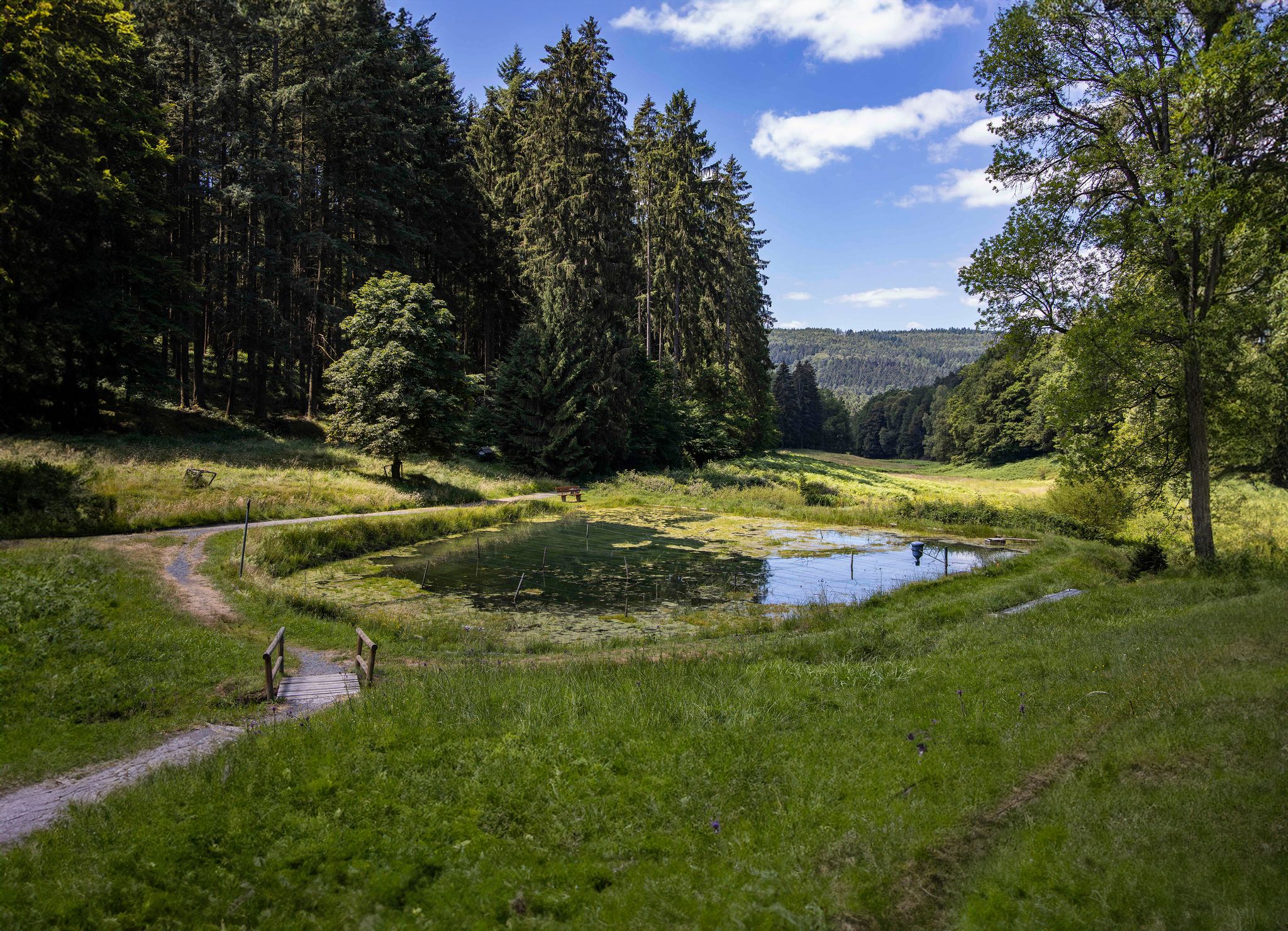
Hike through one of Germany’s greatest forests – Spessart 3
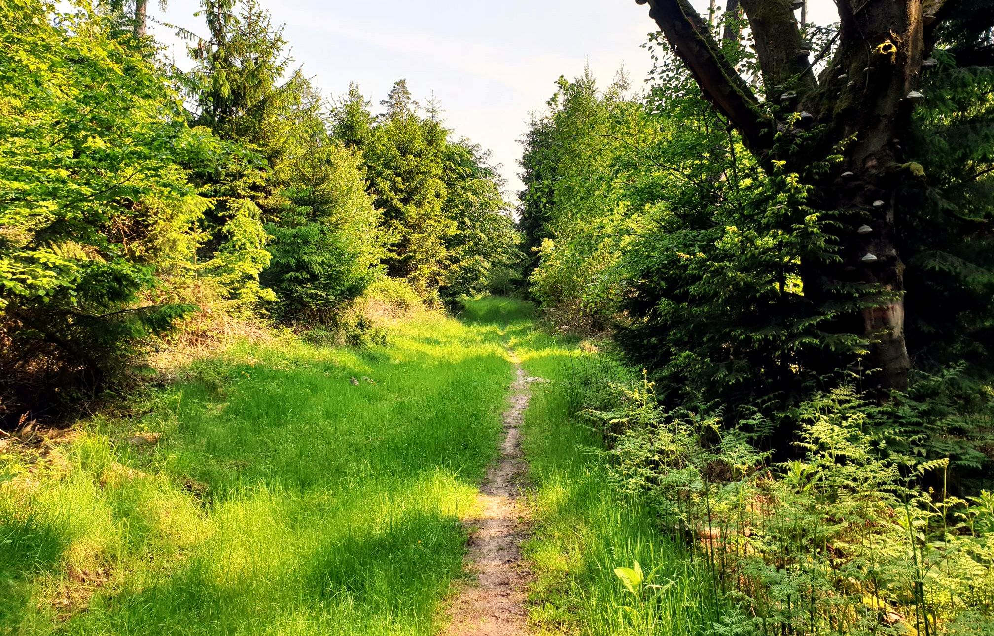
Mountain biking in the Spessart – Awesome trails in Germany
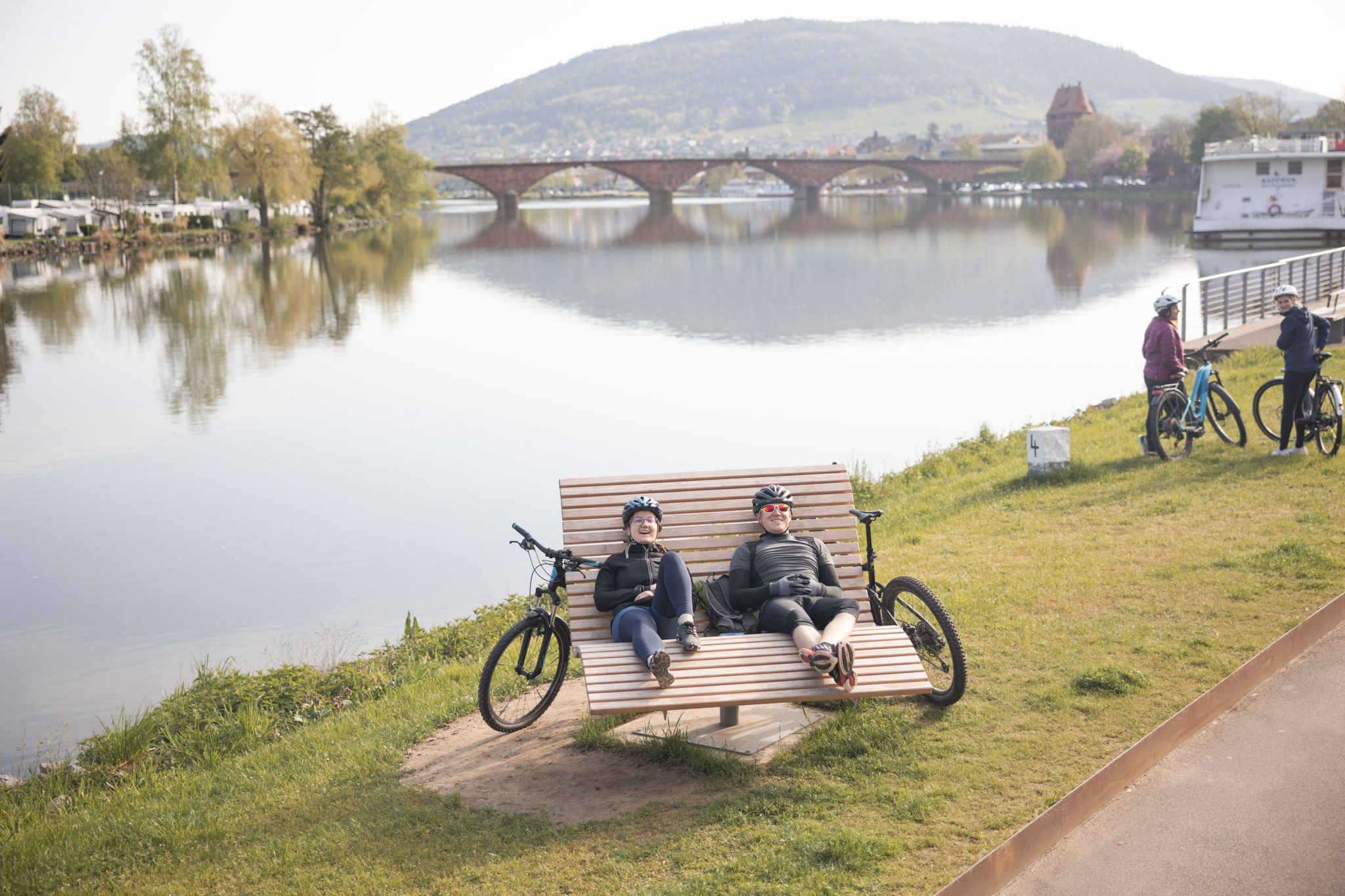
Wald erFahren – E-Bike-Touren im Spessart
Other adventures around Bad Soden-Salmünster


Tips from the Community

Simply beautiful, even in the rain
0
0

Really nicely done
0
0

Beautiful sight
0
0

Today's useRecreation: The area around the body of water serves as a popular recreational spot with an approximately seven-kilometer circular path for cyclists and walkers. Ardea's Lake World: A special educational and experiential trail with 16 stations playfully informs visitors about local nature, bird protection, and dam technology.
1
0
Purpose and Function Flood protection: It is considered one of the most important protective measures against floods caused by the Kinzig river, which are triggered, among other things, by inflows from the Vogelsberg region. Energy generation: A small turbine system for electricity generation is directly integrated into the dam. Low water regulation: In dry periods, the reservoir helps to keep the water level of the Kinzig river stable.
1
0
Construction and costsConstruction period: Work on the dam began in 1976 and was completed in 1982 (dam construction and initial impoundment took place from 1976–1979). Construction costs: The construction of the lake and the dam cost around 70 million German Marks at the time. Technical data: The dam is 14 meters high. The basin has a maximum extent of up to 125 hectares and a capacity of approximately 7.2 million cubic meters of water.
1
0
The Kinzig reservoir (Kinzigtalsperre) was built between 1976 and 1982 and primarily serves flood protection, low water augmentation, and power generation. The approximately 70-hectare retention basin in Hesse is located between Bad Soden-Salmünster and Steinau an der Straße (district Ahl) and is operated by the Kinzig Water Association.
1
0
Origins and Early Modern Period 14th century: Probable origin and construction of the first mill on the Kinzig. 1667: First secure documentary mention, granted to the miller Hans Georg Krembs. 18th century: Expansion to include an oil and millet mill and later a snuff mill.
0
0
Frequently Asked Questions
What kind of landscape can I expect when touring cycling around Bad Soden-Salmünster?
The region around Bad Soden-Salmünster is characterized by rolling hills, dense forests, and river valleys, particularly along the Kinzig River, all nestled within the Spessart Nature Park. You'll find a mix of paved and unpaved surfaces, with generally moderate elevations offering gradual ascents and descents.
How many touring cycling routes are available in Bad Soden-Salmünster?
There are over 170 touring cycling routes to explore around Bad Soden-Salmünster, catering to various skill levels from easy rides to more challenging tours.
Are there easy touring cycling routes suitable for beginners or families?
Yes, Bad Soden-Salmünster offers a good selection of easy routes. For example, the Kinzigtal Cycle Path – Kinzig Floodplains loop from Bad Soden-Salmünster is an easy 28.6 km path, and the Old Town Hall of Bad Soden – Kinzigtal Bridge (A66) loop from Feuchtwiesen bei Ahl is a shorter, easy 8.7 km option.
What are some popular circular touring cycling routes in the area?
Many routes are designed as loops. A popular moderate option is the Kinzig Reservoir – Schlüchtern Abbey loop from Bad Soden-Salmünster, which is 33.8 km long. Another well-liked moderate route is the Hans Engelfried Bridge – Auen Valley near Bad Orb loop from Romsthal, covering 38.7 km.
What is the best time of year for touring cycling in Bad Soden-Salmünster?
While cycling is enjoyable throughout the warmer months, May and July are particularly popular times for touring cyclists in Bad Soden-Salmünster, likely due to favorable weather conditions.
What do other touring cyclists say about the routes in Bad Soden-Salmünster?
The routes in Bad Soden-Salmünster are highly rated by the komoot community, with an average score of 4.5 stars from over 1,100 reviews. Many touring cyclists appreciate the varied terrain and the scenic beauty of the Spessart Nature Park.
Are there any notable attractions or points of interest along the touring cycling routes?
Yes, the region offers several interesting sights. You can explore historical sites like Salmünster Castle and Stolzenberg Castle Ruins, or visit the impressive Bad Orb Graduation House. For nature lovers, the Kinzig Reservoir features a 6.5 km circular path, and the Wildpark and Walderlebnispfad offer a forest adventure. You might also encounter various huts and shelters like the Haselruhe Hunting Lodge or the Bieberer Shelter.
Can I find places to eat or rest along the cycling routes?
While specific cafes on every route are not detailed, the region's towns and villages, including Bad Soden-Salmünster itself, offer amenities. Additionally, you might find huts and shelters like the Günthersmühle Naturefriends' House which can provide a place to rest.
Are there any longer touring cycling paths that connect to Bad Soden-Salmünster?
Yes, Bad Soden-Salmünster is connected to longer regional routes. For instance, it's part of the 'ADAC cycling tour - From Gelnhausen to Gemünden am Main' and can serve as a starting point for multi-day tours, including a stage of a Darmstadt-Berlin route.
What are the elevation changes like on the touring cycling routes?
The routes generally feature moderate elevations with rolling hills. While there are ascents and descents, they are often gradual, making the area accessible for various fitness levels. Some routes, particularly those for road cycling in the Spessart, can offer more sporting challenges with steeper climbs.
Are there any routes that follow river valleys?
Many routes in the area follow the scenic Kinzig River valley. The Rückinger Mill – Kinzigtal Cycle Path loop from Bad Soden-Salmünster is a longer 80.4 km route that leads through the Kinzigtal, offering pleasant riverside cycling.
Most popular routes around Bad Soden-Salmünster
Most popular attractions around Bad Soden-Salmünster

Get inspired with the komoot mobile app


Explore more
Browse the best Cycling routes in other regions.
