The best running trails around Marlhes
4.2
(131)
4,534
runners
13
runs
Jogging around Marlhes offers a diverse landscape for outdoor enthusiasts, situated in France's Auvergne-Rhône-Alpes region. The terrain ranges from hilly to mountainous, with elevations between 810 and 1,190 meters, providing varied challenges for runners. The region is characterized by its proximity to the Pilat Natural Regional Park, featuring extensive forested areas and a network of trails. Scenic dams and panoramic viewpoints contribute to the natural features encountered on Marlhes jogging routes.
Best jogging routes around Marlhes
- The most popular jogging…
Last updated: June 29, 2026
43
runners
Hard run. Very good fitness required. Mostly paved surfaces. Suitable for all skill levels.
3
runners
6.07km
00:43
160m
160m
Moderate run. Good fitness required. Mostly paved surfaces. Suitable for all skill levels.

Sign up for free
3
runners
18.0km
02:09
410m
410m
Hard run. Very good fitness required. Mostly paved surfaces. Suitable for all skill levels.
3
runners
6.49km
00:44
130m
130m
Moderate run. Good fitness required. Mostly paved surfaces. Suitable for all skill levels.
2
runners
7.57km
00:50
150m
150m
Moderate run. Good fitness required. Mostly paved surfaces. Suitable for all skill levels.
Get access to more routes and recommendations from other explorers.
Sign up for free
Already have an account?
Our route recommendations are based on thousands of hikes, rides, and runs completed by other people on komoot.
Start today with a free account
Your next adventure awaits.
Login or Signup

Tips from the Community

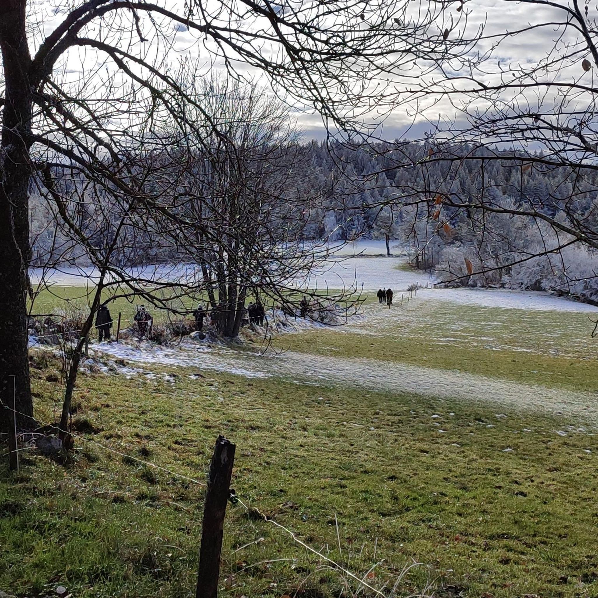
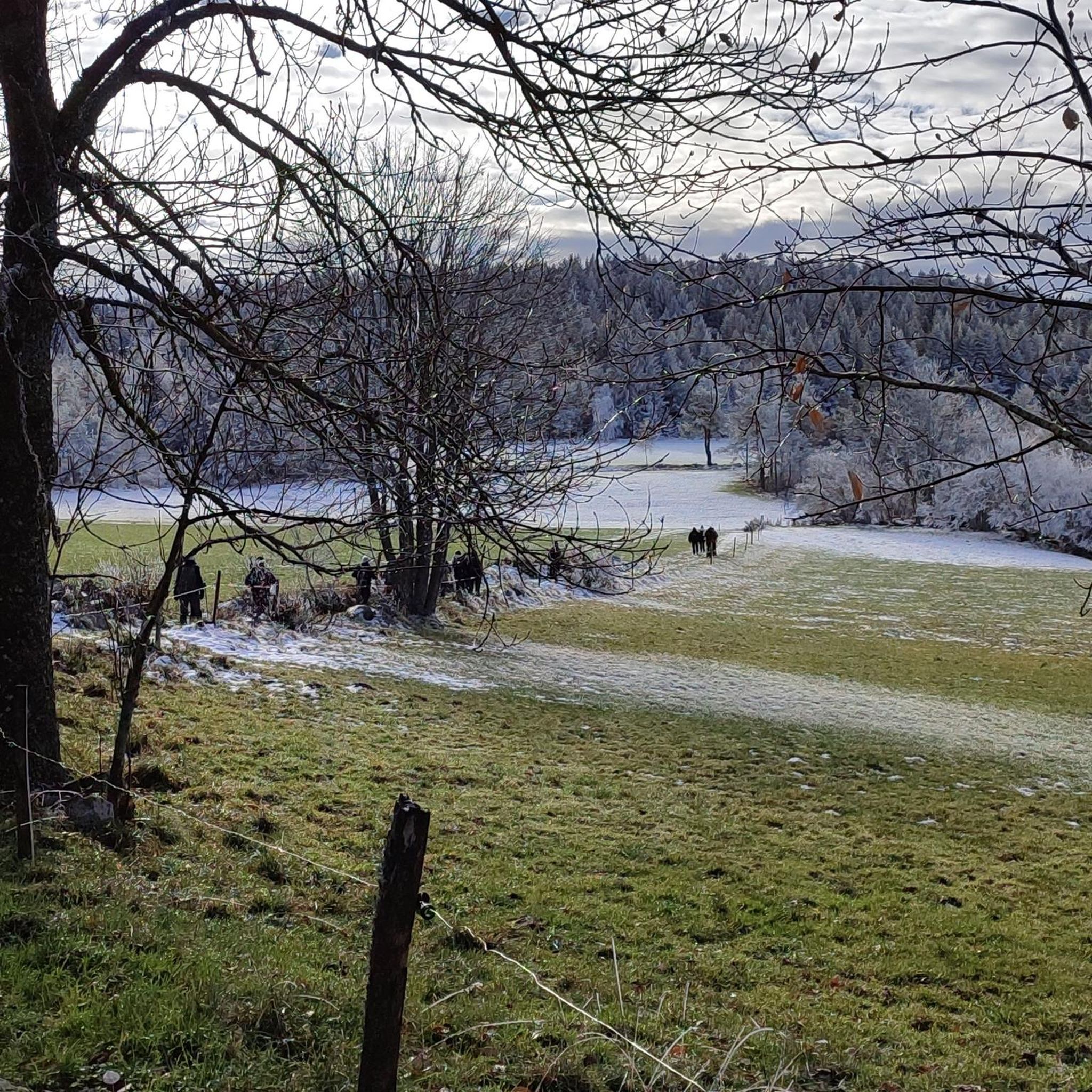
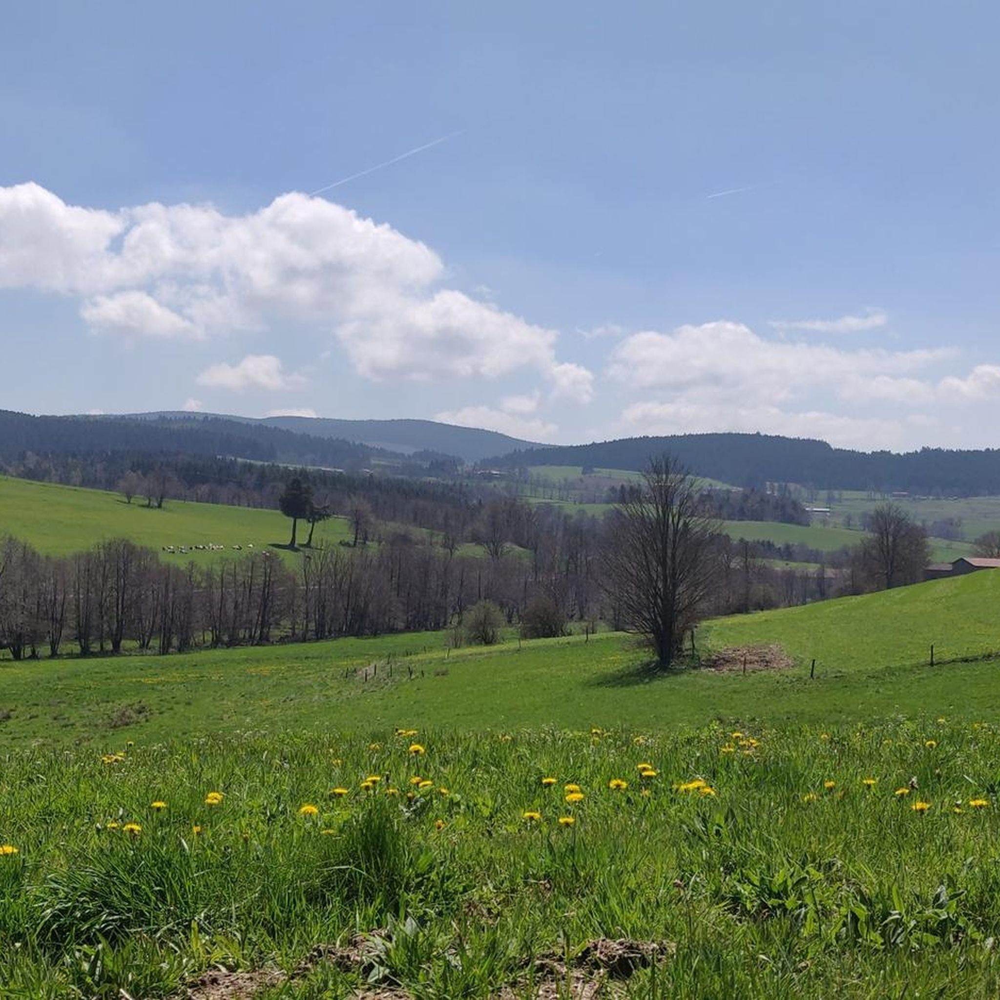
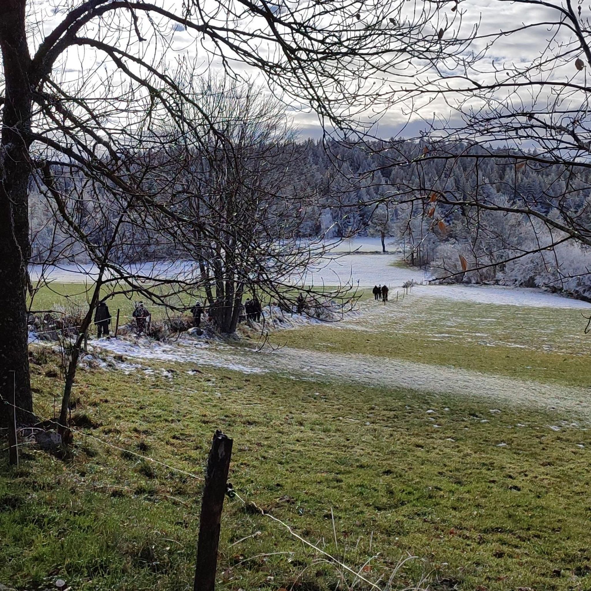
Crêt de Chaussître is located at the southern end of Pilat. It offers a beautiful panorama of the Monts du Velay, Mont Mezenc, the Yssingeaux juices and the high plateaus of Forez.
0
0

By mountain bike, the northern accesses are difficult, large stones, very technical. Access by chemin du Teil easier but steep and partly paved. My favorite access is through the east in the woods from Prélager (before arriving at the picnic area, take the small grassy path on the left which descends slightly)
0
0
Frequently Asked Questions
What kind of terrain can I expect on running routes around Marlhes?
Jogging routes around Marlhes offer a diverse landscape, ranging from hilly to mountainous terrain with elevations between 810 and 1,190 meters. You'll encounter extensive forested areas, particularly within the Pilat Natural Regional Park, and trails around scenic dams, providing varied surfaces and challenges for runners.
Are there running routes suitable for beginners or those looking for an easier run?
Yes, Marlhes offers a variety of running routes for all abilities. While many routes feature significant elevation, there are options for easier runs. For example, the Running loop from Marlhes is a moderate 3.1-mile (5.0 km) trail that can be completed in about 35 minutes, leading through local landscapes.
What natural features or landmarks can I see along the jogging trails in Marlhes?
The region is rich in natural beauty and landmarks. You can explore impressive dams like the Gouffre d'Enfer Dam and the Pas-du-Riot Dam, which are surrounded by scenic trails. Many routes also offer panoramic views, including those towards Crêt de Chaussître, providing stunning vistas of the Monts du Velay, Mont Mezenc, and the high plateaus of Forez.
How many running routes are available in the Marlhes area?
There are over 300 running routes available around Marlhes on komoot, catering to various difficulty levels. This includes approximately 8 easy routes, 200 moderate routes, and 93 difficult routes, ensuring a wide selection for every runner.
What do other runners say about the trails in Marlhes?
The running routes in Marlhes are highly rated by the komoot community, with an average score of 4.3 stars from over 100 reviews. Runners often praise the varied terrain, extensive forested areas, and the beautiful natural features like dams and panoramic viewpoints.
Are there any circular running routes in Marlhes?
Yes, many of the running routes around Marlhes are circular, allowing you to start and finish at the same point. An example is the Running loop from Jonzieux, a moderate 9.5 km (5.9 miles) route.
What is the best time of year to go jogging in Marlhes?
Marlhes is suitable for jogging in warmer months when the Nordic domain trails (like those near Burdignes and St Régis du Coin) convert into excellent running paths. Autumn is particularly recommended for its 'sublime' scenery, especially around the Gouffre d'Enfer Dam, with 'magnificent panoramas' and vibrant fall colors.
Are there any challenging running routes for experienced runners?
Absolutely. For experienced runners seeking a challenge, Marlhes offers several difficult routes with significant elevation gains. The Croix des Confins – Le Gnaorou loop from Réserve biologique dirigée de Chaussitre et Gimel is a difficult 17.1-mile (27.6 km) path featuring substantial climbs and expansive views.
Can I find running routes with waterfalls in the Marlhes area?
While specific waterfalls are not extensively detailed for every route, the area around dams like the Gouffre d'Enfer Dam is noted for its natural landscapes, which can include waterfalls. The Bridge and waterfall highlight indicates such features are present in the wider region.
Are there any running routes that offer views of the Alps or other distant mountains?
Yes, several routes provide magnificent panoramic views. The trails around the Gouffre d'Enfer Dam are known for offering 'magnificent panoramas' of the Alps, the Rhône valley, Pilat, and the Monts du Vivarais, especially in autumn. Additionally, the Crêt de Chaussître offers a beautiful panoramic view of the Monts du Velay, Mont Mezenc, and the high plateaus of Forez.
Are there options for parking near the trailheads in Marlhes?
While specific parking locations for each trailhead are not detailed, Marlhes is a commune with established outdoor activity infrastructure, especially given its proximity to the Pilat Natural Regional Park and Nordic domains. It is generally expected that parking facilities are available near popular trail starting points, though it's always advisable to check local signage upon arrival.
Are there any family-friendly running trails in Marlhes?
For families, the region offers a range of trails, including easier and moderate options. The well-maintained and marked trails, particularly those converted from Nordic domains in warmer months, can be suitable for families looking for less strenuous runs. The Running loop from Saint-Romain-Lachalm is a moderate 6.5 km (4.0 miles) route that could be a good option.
Most popular attractions around Marlhes

Get inspired with the komoot mobile app


Explore more
Browse the best Running Trails & Routes in other regions.
