The best walks and hikes around Chéry-Chartreuve
4.6
(114)
451
hikers
60
hikes
Hiking around Chéry-Chartreuve, a commune in the Aisne department of Hauts-de-France, offers diverse natural landscapes. The area features varied topography with elevations ranging from 92 to 207 meters, encompassing moorlands, wetlands, meadows, and forests. Located between Soissons and Reims, the region provides access to natural features like the Parc des Bruyères and the Étangs de Courville, alongside vineyards and woodlands.
Best hiking trails around Chéry-Chartreuve
- The most popular hiking route is Étangs de Courville loop from Courville, a 3.7…
Last updated: June 21, 2026
5.0
(4)
31
hikers
5.87km
01:35
80m
80m
Easy hike. Great for any fitness level. Easily-accessible paths. Suitable for all skill levels.
5.0
(3)
25
hikers
5.27km
01:26
80m
80m
Easy hike. Great for any fitness level. Easily-accessible paths. Suitable for all skill levels.

Sign up for free
5.0
(10)
24
hikers
Moderate hike. Good fitness required. Easily-accessible paths. Suitable for all skill levels.
5.0
(2)
11
hikers
7.65km
02:08
150m
150m
Moderate hike. Good fitness required. Easily-accessible paths. Suitable for all skill levels.
5.0
(2)
11
hikers
Easy hike. Great for any fitness level. Easily-accessible paths. Suitable for all skill levels.
Get access to more routes and recommendations from other explorers.
Sign up for free
Already have an account?
Our route recommendations are based on thousands of hikes, rides, and runs completed by other people on komoot.
Start today with a free account
Your next adventure awaits.
Login or Signup


Tips from the Community


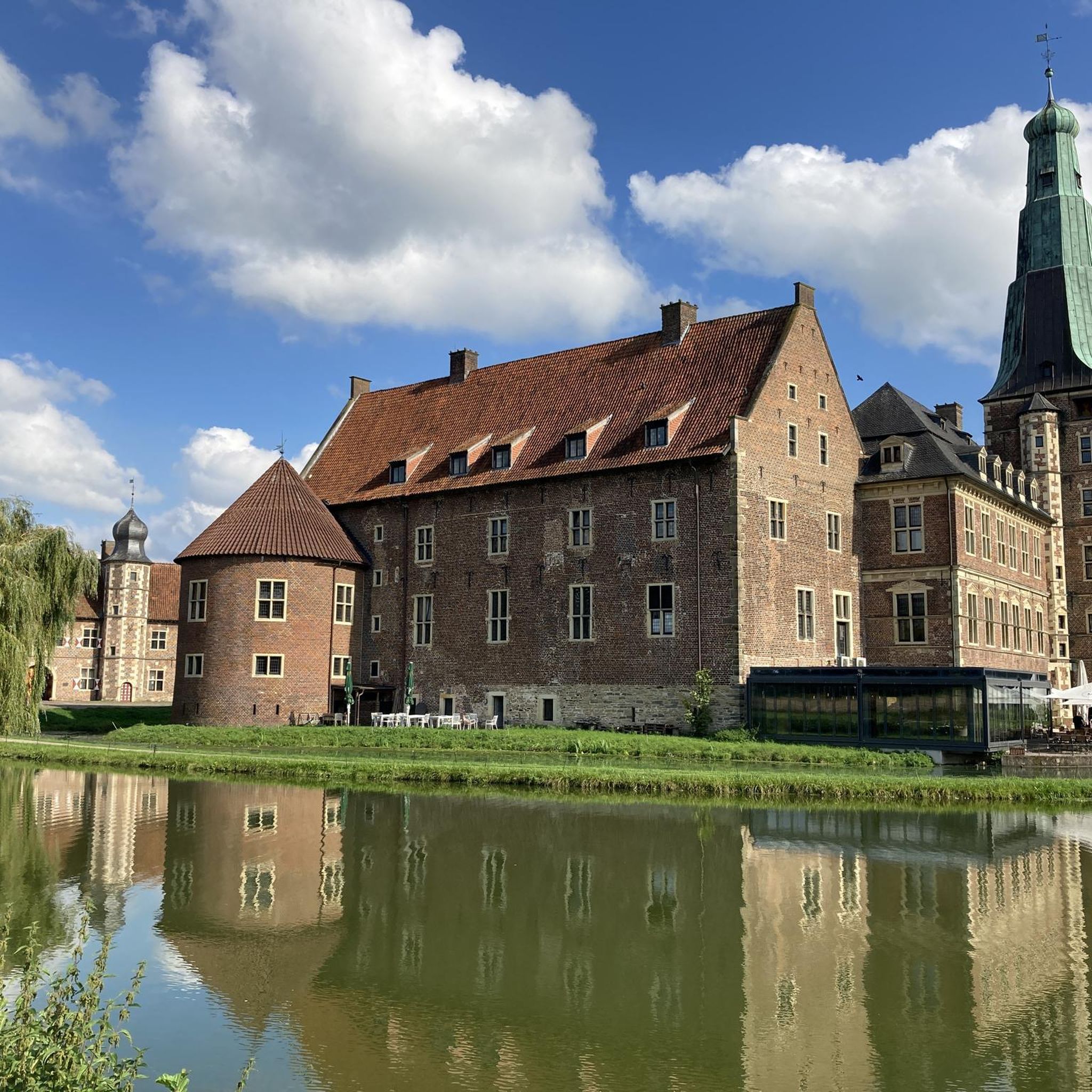
The castle of Fère-en-Tardenois is a former fortified castle, built from the beginning of the thirteenth century. It is characterized by the presence of a monumental covered bridge, spanning the ditch. A very pretty run alternating between historic ruins and wooded routes.
2
0
The Parc des Bruyères extends over 80 hectares of diverse natural environments: moors, wetlands, meadows and forests. Guests can enjoy views of two ponds, where you can observe various water birds, such as grebes and diving ducks. You can also discover the rich flora of the park, such as heather, aconite and sandwort. The Parc des Bruyères is a privileged place to reconnect with nature and relax.
2
0
The Parc des Bruyères extends over 80 hectares of diverse natural environments: moors, wetlands, meadows and forests. Guests can enjoy views of two ponds, where you can observe various water birds, such as grebes and diving ducks. You can also discover the rich flora of the park, such as heather, aconite and sandwort. The Parc des Bruyères is a privileged place to reconnect with nature and relax.
2
0

A pleasant stroll through villages, vineyards, fields and forests to reach the Courville ponds.
0
0
Imposing and very well preserved ruins
0
0

The castle of Fère-en-Tardenois is a former fortified castle, built from the beginning of the thirteenth century. It is characterized by the presence of a monumental covered bridge, spanning the ditch. A very pretty hike alternating between historic ruins and wooded routes.
0
0
Frequently Asked Questions
How many hiking trails are available around Chéry-Chartreuve?
There are over 50 hiking routes available around Chéry-Chartreuve, catering to various preferences. This includes 20 easy routes, 31 moderate routes, and 1 difficult route for more experienced hikers.
What types of landscapes can I expect to see while hiking in Chéry-Chartreuve?
Hiking in Chéry-Chartreuve offers a diverse range of landscapes. You can expect to traverse moorlands, wetlands, meadows, and forests. Many routes also pass by picturesque lakes, vineyards, and historical sites, reflecting the varied topography of the region.
Are there any family-friendly hiking options in Chéry-Chartreuve?
Yes, Chéry-Chartreuve offers several easy routes suitable for families. For instance, the Étangs de Courville loop from Courville is an easy 5.9 km trail that circles the picturesque Étangs de Courville, perfect for a leisurely family outing. Another great option is the Étangs de Courville loop from Mont-sur-Courville, which is 5.4 km and also explores the beautiful lake area.
What are some notable natural attractions or landmarks to look out for on the trails?
Hikers can explore several natural and historical highlights. The Parc des Bruyères is an 80-hectare park with moorlands, wetlands, and forests. The Étangs de Courville offer pleasant walks around two scenic ponds. Additionally, the impressive Ruins of the Château de Fère-en-Tardenois, a 13th-century fortified castle, can be integrated into a hike, offering a blend of history and nature.
Are there any circular walks available in the area?
Yes, many routes in Chéry-Chartreuve are circular, allowing you to start and end at the same point. Examples include the Étangs de Courville loop from Courville and the Château de Fère-en-Tardenois – Parc des Bruyères loop from Seringes-et-Nesles, which takes you through diverse landscapes and past historical sites.
What do other hikers enjoy most about hiking in Chéry-Chartreuve?
The area is highly rated by the komoot community, with an average score of 4.5 stars from over 100 reviews. Hikers often praise the diverse natural landscapes, including moorlands, wetlands, and forests, as well as the picturesque lakes and historical sites that many routes pass by. The variety of easy to moderate trails also makes it appealing to a wide range of abilities.
Can I bring my dog on the hiking trails in Chéry-Chartreuve?
While specific regulations for each trail may vary, generally, many natural areas in France are dog-friendly, especially if dogs are kept on a leash. It's always recommended to check local signage or specific route details on komoot for any restrictions before heading out with your dog.
Are there any routes that combine natural beauty with historical sites?
Absolutely. The Château de Fère-en-Tardenois – Parc des Bruyères loop from Seringes-et-Nesles is a moderate 7.9 km trail that leads through the natural beauty of the Parc des Bruyères and near the impressive Ruins of the Château de Fère-en-Tardenois, offering a rich experience of both nature and history.
What is the typical elevation gain on hikes in this region?
The topography around Chéry-Chartreuve is varied, with elevations ranging from 92 to 207 meters. While some routes are relatively flat, like the loops around Étangs de Courville with around 80 meters of elevation gain, others like the Jouaignes loop from Tannières can have over 150 meters of ascent, offering a good workout without being overly strenuous.
Are there any less crowded hiking options for a more tranquil experience?
With over 50 routes available, you can often find quieter trails, especially outside of peak tourist seasons or by exploring some of the less-trafficked moderate routes. While the Étangs de Courville loops are popular, exploring trails further afield like the Jouaignes loop from Tannières might offer a more serene hiking experience.
What is the best time of year to go hiking in Chéry-Chartreuve?
The region's diverse landscapes, including forests, meadows, and wetlands, make it enjoyable for hiking across multiple seasons. Spring and autumn offer pleasant temperatures and beautiful scenery, with blooming flora or vibrant fall colors. Summer is also suitable, though it can be warmer, while winter hikes can provide a unique, tranquil experience, especially in the forested areas.
Are there opportunities for wildlife spotting during hikes?
Yes, particularly in areas like the Parc des Bruyères and around the Étangs de Courville. These natural features, including wetlands and ponds, are home to diverse aquatic birds like grebes and diving ducks, as well as various flora. Keep an eye out for local wildlife, especially during quieter times of the day.
Most popular attractions around Chéry-Chartreuve

Get inspired with the komoot mobile app


Explore more
Browse the best Hikes in other regions.
