The best road cycling routes around Marolles-Sur-Seine
4.6
(15)
776
riders
166
rides
Road cycling around Marolles-Sur-Seine offers routes through the Seine-et-Marne department, characterized by the meandering Seine River and its surrounding valleys. The terrain includes predominantly well-paved surfaces, with some unpaved segments providing varied experiences. Cyclists can expect a mix of gentle gradients along the riverbanks and moderate climbs in the surrounding countryside, with some routes featuring up to 3,000 feet of elevation gain. The region is dotted with forests and picturesque villages, providing diverse backdrops for rides.
Best road cycling routes…
Last updated: November 1, 2026
37
riders
38.8km
01:44
380m
380m
Moderate road ride. Good fitness required. Mostly well-paved surfaces and easy to ride.
15
riders
55.0km
02:15
210m
210m
Moderate road ride. Good fitness required. Some segments of this route may be unpaved and difficult to ride.

19
riders
Moderate road ride. Good fitness required. Some segments of this route may be unpaved and difficult to ride.
6
riders
Easy road ride. Mostly well-paved surfaces and easy to ride.
4.7
(3)
5
riders
25.9km
01:08
200m
200m
Easy road ride. Mostly well-paved surfaces and easy to ride.
Get access to more routes and recommendations from other explorers.
Already have an account?
Our route recommendations are based on thousands of hikes, rides, and runs completed by other people on komoot.
Start today with a free account
Your next adventure awaits.


Tips from the Community

Pretty little town with traces of the 20th century still visible...Come step back in time!
0
0

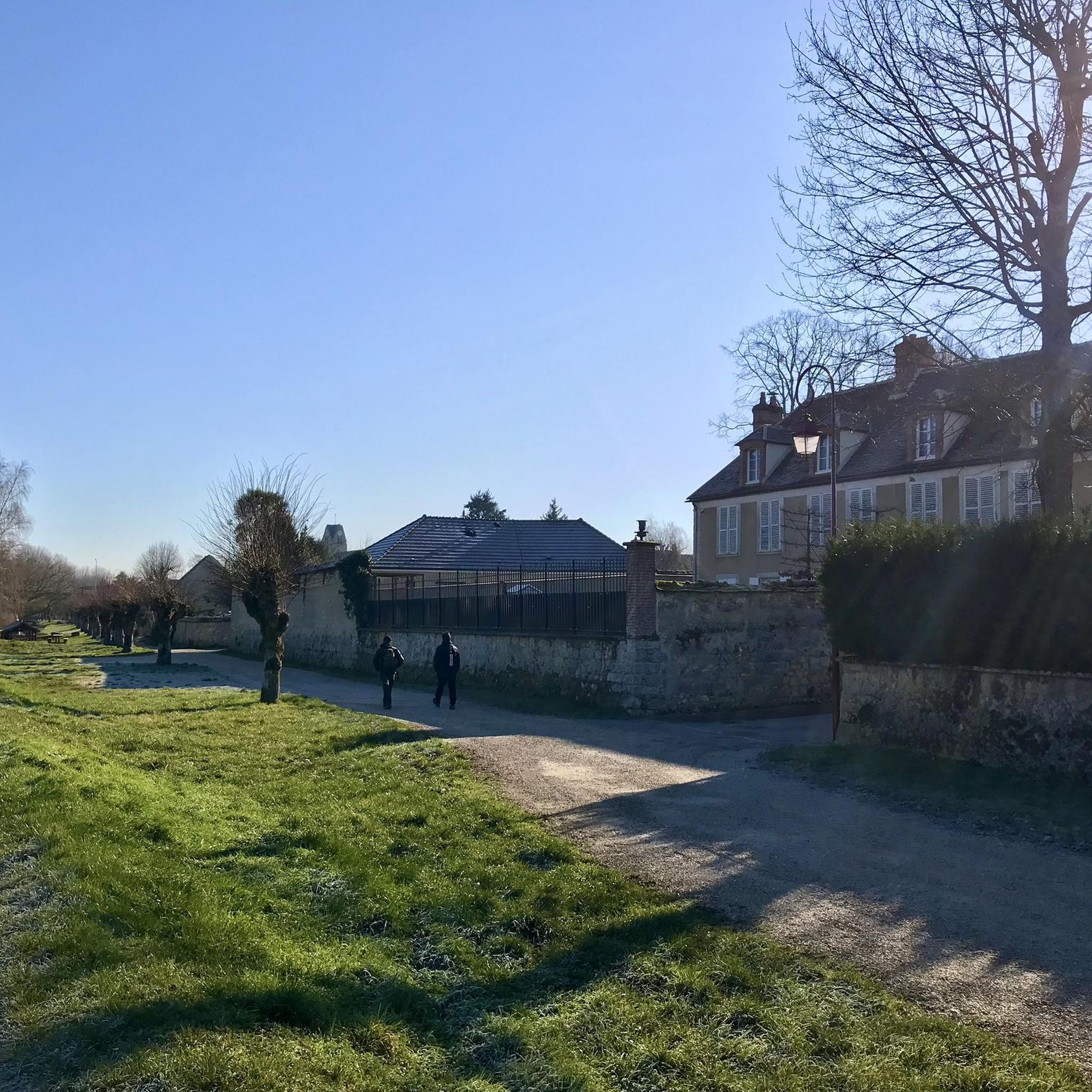
Crossed by the Orvanne. Picturesque bridges and wash houses.
0
0

Our parish remained attached to the deanery of Marolles until the decree of August 24, 1790, when the diocese of Sens was limited to the department of Yonne. The church, which became national property on November 24, 1789, was returned to worship on 23 Fructidor year IX (concordat of 1801), but it was no longer anything more than a branch of Cannes, diocese of Meaux, deanery and conference of Montereau.
0
0

Great site for manufacturing old SNCF BB locomotives. Cathedral factory
0
0


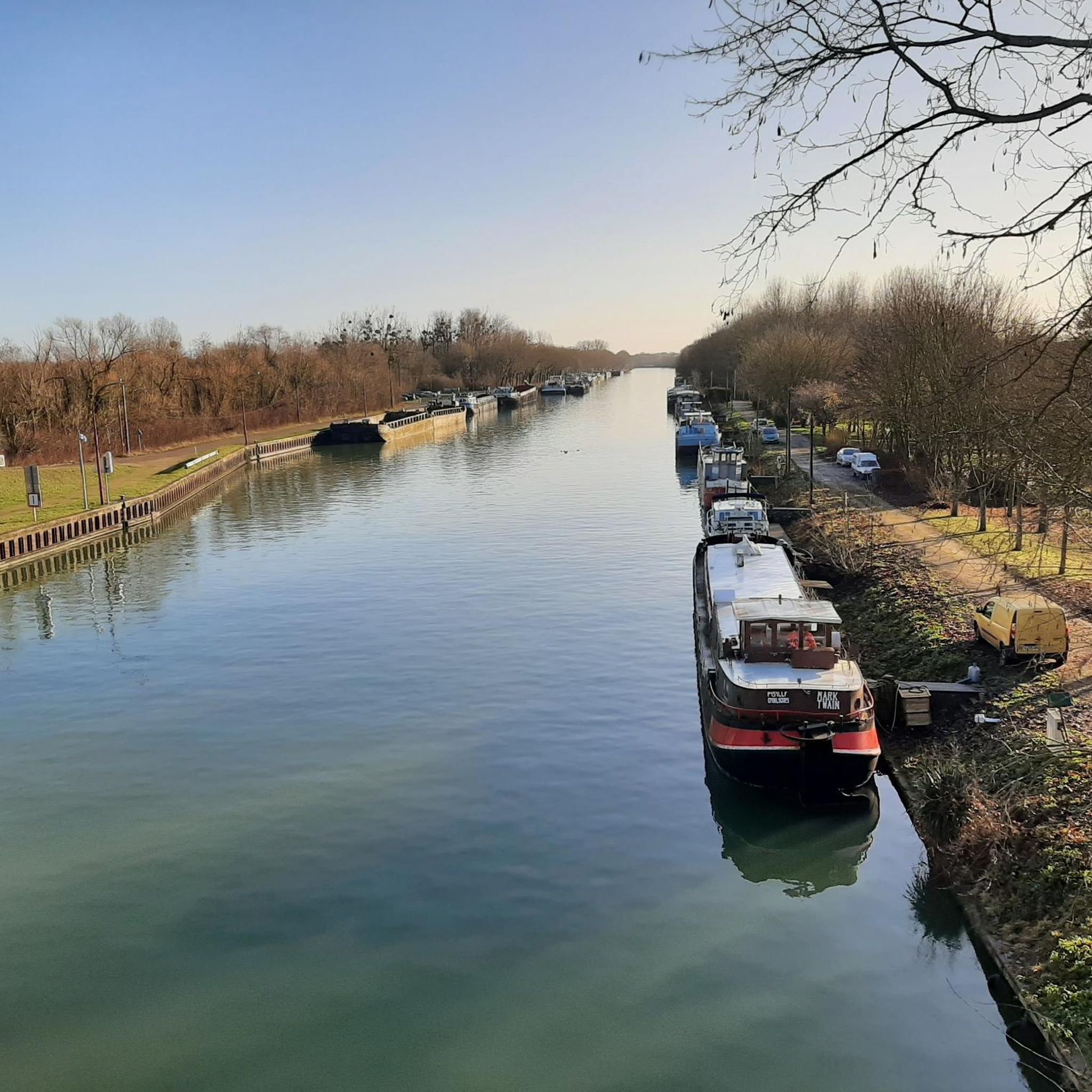
In Montereau-Fault-Yonne, the Yonne flows into the Seine after almost 300 km, coming from the Morvan Nature Park
0
0

Flagy is an old fortified place. The village was built in the 12th century by order of Louis VII in 1130. On the edge of a royal domain, it is built according to a rectangular plan, as shown by the seven parallel streets leading to the river crossed by seven bridges or gateways. The course of the Orvanne has been diverted and developed to supply the village with water. The mill, built in the 13th century, still exists and is a good representation of the traditional regional architecture of the time. Besides the river, seven wells, one in each of the parallel streets, provided drinking water. There are still several of them, which were used until 1960. On Heritage Day, you can visit two underground entrances. A network of underground passages connected the food cellars which also served as refuges during invasions of the village by enemies. One can see in one of the underground passages some remains of ancient objects. A curiosity on the roof of the church, the weather vane has two symbols: a rooster, the usual symbol, and a pig's head, another symbol, a lasting memory of a local legend, transmitted orally. During the Hundred Years War, the terrible Black Death reached many villages in Île-de-France. Affected by the epidemic, the inhabitants of a neighboring village came to seek help in Flagy, where there was a hospital (Hôtel-Dieu). But the Flagiens energetically refused entry into the village to the sick. The poor people had to look elsewhere for a better welcome. It is said that the bishop, outraged by this attitude of refusal, this lack of compassion, inflicted a punishment on the Flagians. Since then a weather vane in the shape of a pig's head has been turning according to the winds on the roof of the church. Recently rediscovered in the "Favorite Village of the French" 2023, Flagy may not have won the crown, but remains a nice heritage to discover.
0
0
Frequently Asked Questions
How many road cycling routes are available around Marolles-Sur-Seine?
There are over 180 road cycling routes available around Marolles-Sur-Seine, catering to various skill levels. You'll find a mix of easy, moderate, and a few more challenging options to explore the region.
What kind of terrain can I expect on road cycling routes in Marolles-Sur-Seine?
The terrain around Marolles-Sur-Seine is characterized by the meandering Seine River and its valleys. You can expect predominantly well-paved surfaces, ideal for road cycling, though some segments may include unpaved sections for a more varied experience. Routes feature gentle gradients along the riverbanks and moderate climbs in the surrounding countryside, with some routes offering up to 3,000 feet of elevation gain.
Are there any easy road cycling routes suitable for beginners or relaxed rides?
Yes, Marolles-Sur-Seine offers nearly 50 easy road cycling routes. For a relaxed ride with scenic views along the Seine, consider the Breathtaking view of the Seine – Beautiful view of the Seine loop from Montereau, an easy 32.3 km path.
What are some notable landmarks or scenic viewpoints to see while cycling?
The region is rich in scenic spots and historical landmarks. You can enjoy breathtaking views of the Seine, such as at the Breathtaking view of the Seine highlight. Other points of interest include the charming Flagy, a village of character, and historical churches like the Saint-Germain-de-Paris Church of La Grande-Paroisse.
Are there any circular road cycling routes available?
Many routes in the area are designed as loops, offering circular journeys. For example, the Cannes-Écluse Town Hall – Beautiful view of the Seine loop from Cannes-Écluse is a popular moderate route that provides continuous views of the Seine River.
Is Marolles-Sur-Seine connected to the Seine à Vélo cycle route?
Yes, Marolles-Sur-Seine is part of the broader Seine Valley, which is traversed by the 420km Seine à Vélo cycle route. This route allows cyclists to journey from Paris to the coast, immersing them in a rich tapestry of cultural, historical, and industrial heritage.
What do other cyclists say about road cycling in Marolles-Sur-Seine?
The road cycling routes around Marolles-Sur-Seine are highly rated by the komoot community, with an average score of 4.5 stars from over 15 reviews. Cyclists often praise the diverse backdrops, from riverside paths to charming villages and surrounding forests, and the variety of routes suitable for different ability levels.
Are there any longer road cycling routes for experienced riders?
Yes, for those seeking longer rides, there are routes extending over five hours. The Breathtaking view of the Seine – Pont de Moret-sur-Loing loop from Courcelles-en-Bassée is a moderate 62.1 km trail leading through the picturesque area around Moret-sur-Loing, typically completed in about 2 hours 31 minutes.
What is the best time of year to go road cycling in Marolles-Sur-Seine?
While specific weather data isn't provided, the region's picturesque landscapes and proximity to the Seine River suggest that spring and autumn would offer pleasant temperatures and beautiful scenery. Summer can also be enjoyable, but it's always advisable to check local weather forecasts before heading out.
Are there any villages of character to explore on a road cycling trip?
Absolutely. The region is dotted with charming villages. Moret-sur-Loing, located about 16 km away, is particularly picturesque. Flagy is another 'village of character,' featuring old houses, a historic church square, an old washhouse, and a 12th-century mill, providing delightful detours for cyclists.
Can I find routes with significant elevation gain for a more challenging ride?
Yes, while many routes offer gentle gradients, some extend over five hours with up to 3,000 feet of climbing, providing a more challenging experience for advanced riders. These routes often venture into the surrounding countryside away from the immediate riverbanks.
Where can I find information about leisure activities or other attractions in the wider Seine-et-Marne region?
Beyond cycling, the Seine-et-Marne department offers numerous 'leisure islands' with various outdoor activities. You can find more information about these and other attractions in the wider Paris region on the Visit Paris Region website.
Most popular routes around Marolles-Sur-Seine
Most popular attractions around Marolles-Sur-Seine

Get inspired with the komoot mobile app


Explore more
Browse the best Road cycling routes in other regions.
