The best walks and hikes around Saint-André-De-Cruzières
4.5
(2334)
11,344
hikers
14
hikes
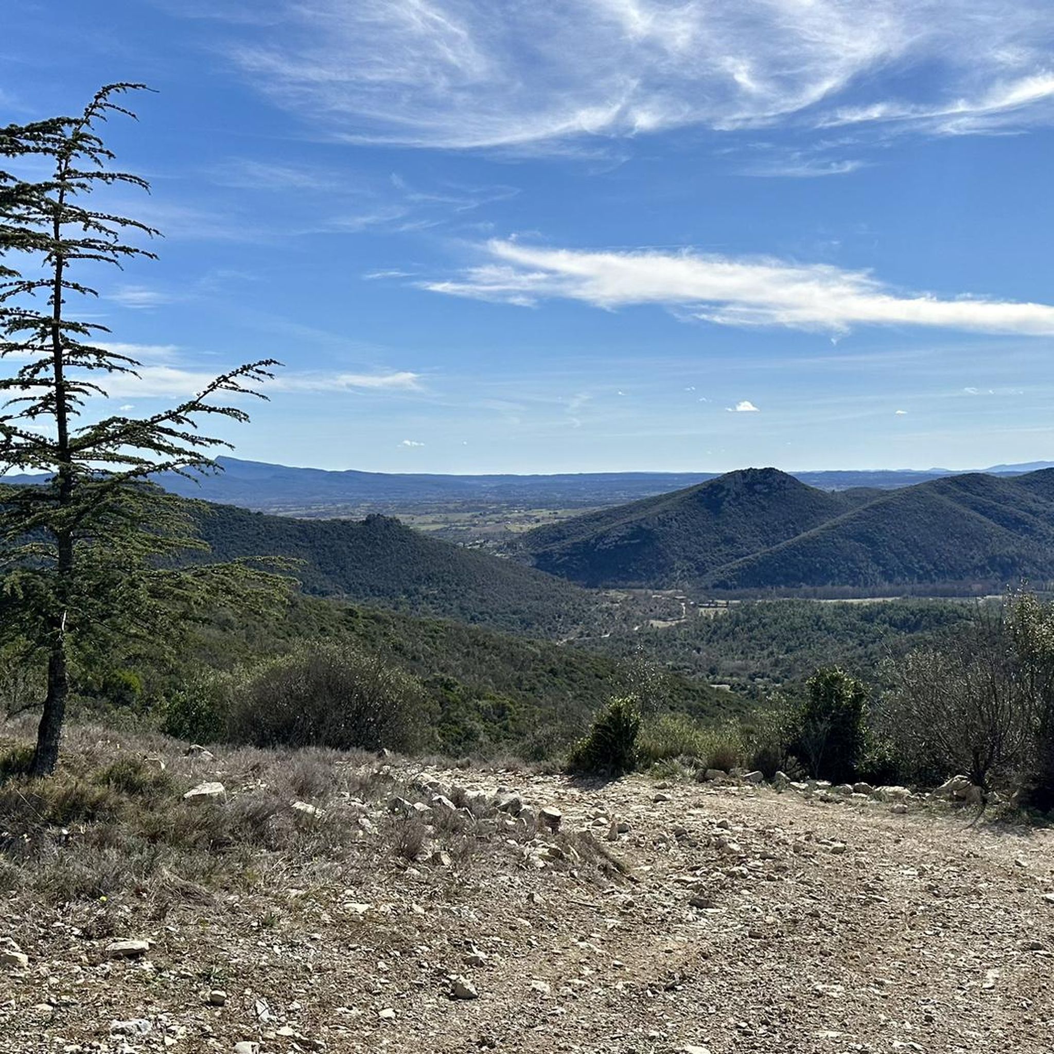
Hiking around Saint-André-De-Cruzières offers a diverse landscape characterized by limestone formations, river valleys, and Mediterranean vegetation. The region features a mix of gentle paths and more undulating terrain, providing varied experiences for hikers. Trails often lead through woodlands and open areas, with some routes exploring local geological features. The area provides opportunities for both short, easy walks and longer, moderate excursions.
Best hiking trails around Saint-André-De-Cruzières
- The most popular hiking route is Cotepatière Cave – Chadouillet loop from Saint-André-de-Cruzières,…
Last updated: May 28, 2026
4.7
(6)
19
hikers
Easy hike. Great for any fitness level. Easily-accessible paths. Suitable for all skill levels.
4.7
(6)
16
hikers
Moderate hike. Good fitness required. Easily-accessible paths. Suitable for all skill levels.

Sign up for free
4.0
(1)
7
hikers
7.53km
02:03
110m
110m
Moderate hike. Good fitness required. Easily-accessible paths. Suitable for all skill levels.
4.7
(3)
14
hikers
Easy hike. Great for any fitness level. Easily-accessible paths. Suitable for all skill levels.
5.0
(3)
8
hikers
Easy hike. Great for any fitness level. Easily-accessible paths. Suitable for all skill levels.
Get access to more routes and recommendations from other explorers.
Sign up for free
Already have an account?
Our route recommendations are based on thousands of hikes, rides, and runs completed by other people on komoot.
Start today with a free account
Your next adventure awaits.
Login or Signup
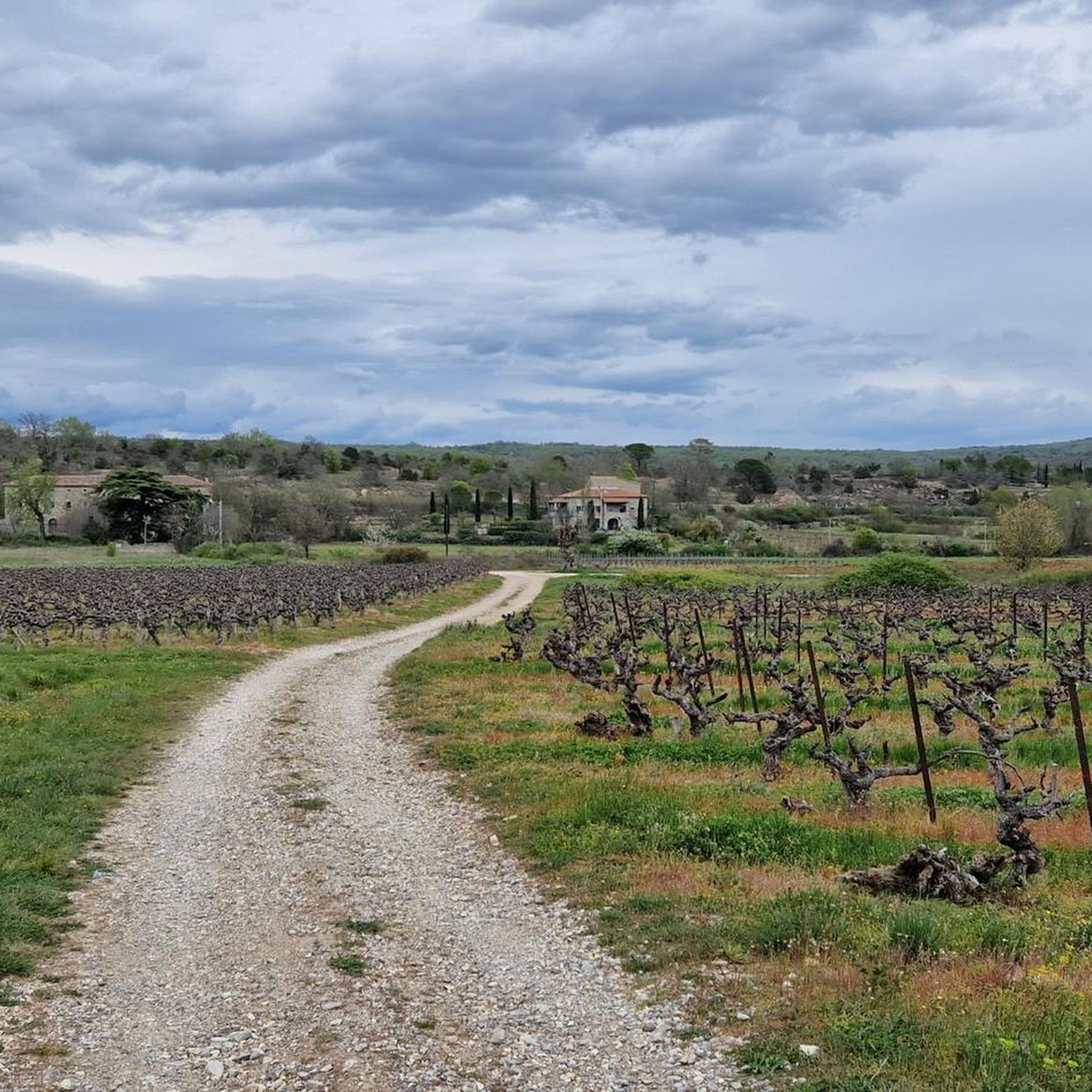
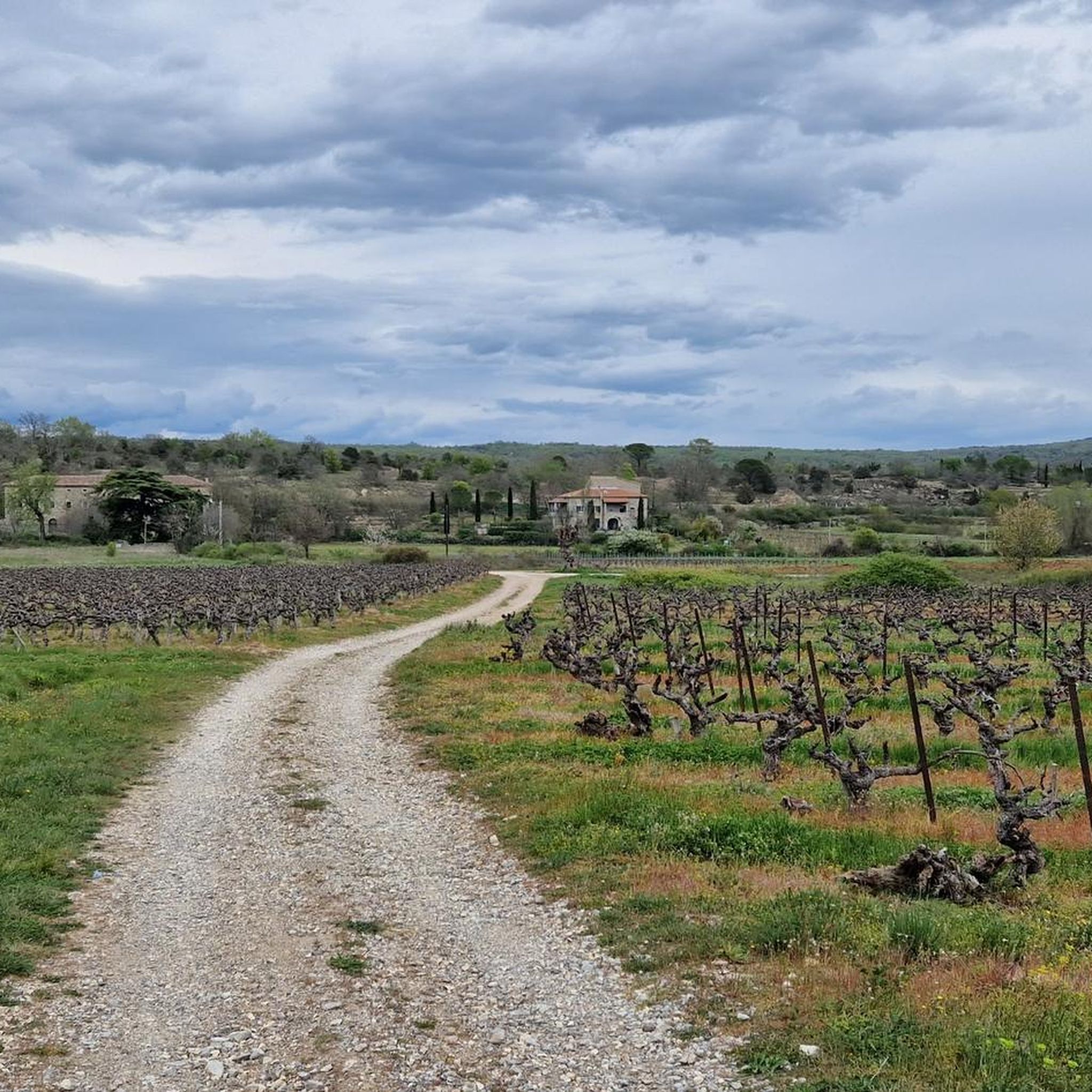
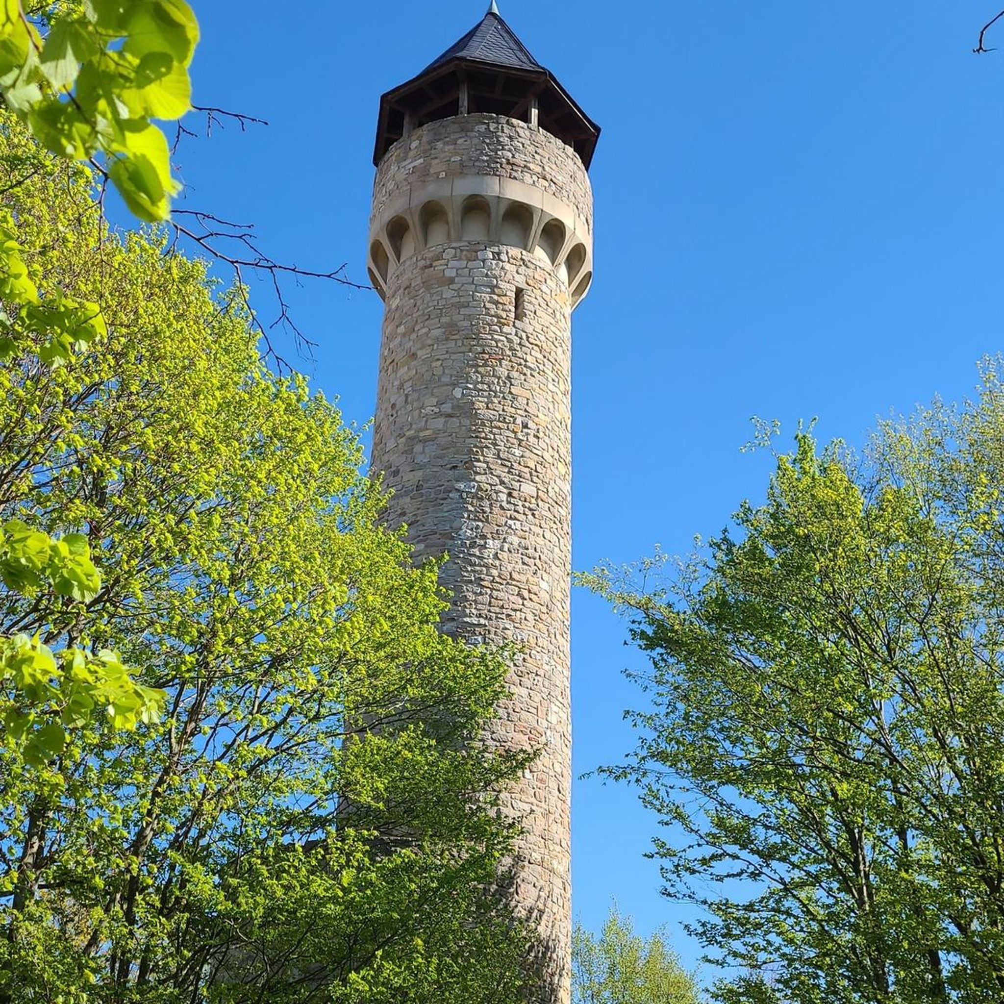
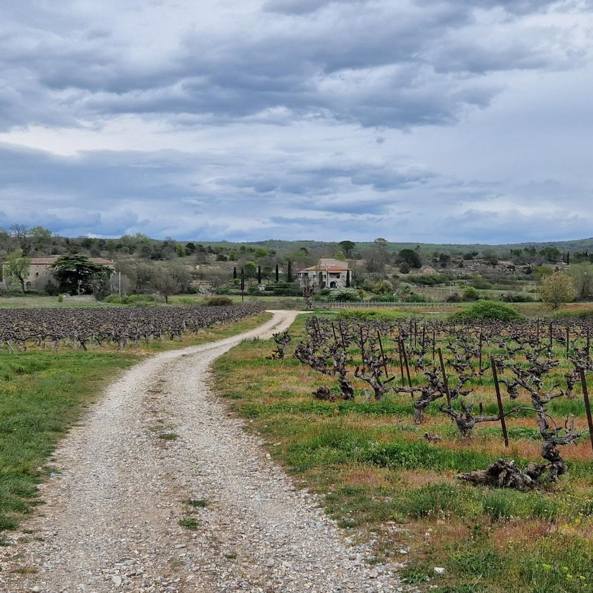
Tips from the Community

Part of the Ardèche hiking network
0
0
Part of the Ardèche hiking network
0
0
Part of the Ardèche hiking network. There are also some older signposts with distances. It's a shame they're becoming less legible.
0
0
There are some signposts with the Dolmen symbol
0
0
Beautiful picnic spot with a chapel
0
0
Frequently Asked Questions
How many hiking trails are available in Saint-André-De-Cruzières?
There are around 15 hiking routes in Saint-André-De-Cruzières, offering a mix of easy and moderate options. The region's diverse landscape, characterized by limestone formations and river valleys, provides varied experiences for hikers.
Are there easy hiking trails suitable for beginners or families in Saint-André-De-Cruzières?
Yes, Saint-André-De-Cruzières offers several easy trails perfect for beginners or families. An excellent option is the Le Planet, Chadouillet – Chadouillet loop from Saint-André-de-Cruzières, an easy 1.8-mile (2.9 km) route that takes about 50 minutes to complete.
What kind of natural attractions can I expect to see along the hiking trails?
The trails often lead through areas with unique geological features. You can explore karst formations, river systems, and dense woodlands. Notable attractions include the Grotte de la Cocalière and the Gorges du Chassezac. Many routes also feature caves and swimming spots.
Are there any circular walks in the Saint-André-De-Cruzières area?
Yes, many of the hiking routes in Saint-André-De-Cruzières are circular, allowing you to start and end at the same point. For example, the Crossing of hiking trails – Place Guy Vézolles loop from Saint-André-de-Cruzières is a moderate 6.3-mile (10.1 km) path that offers varied terrain in a loop.
What do other hikers enjoy most about the trails in Saint-André-De-Cruzières?
The area is highly rated by the komoot community, with an average score of 4.6 stars from over 2,400 reviews. Hikers often praise the diverse landscape, the well-maintained paths, and the opportunity to discover local geological features like caves and river valleys.
Are there any trails that pass by caves or interesting geological sites?
Absolutely. The region is known for its limestone geology. The Cotepatière Cave – Chadouillet loop from Saint-André-de-Cruzières specifically explores local karst features. You can also find highlights like the Small cave for the curious and the Grotte de la Cocalière.
Can I find trails that include swimming spots or water features?
Yes, the region's river valleys offer opportunities for water-related activities. The Swimming Spot at the Chassezac Cliffs and Font Vive are popular highlights where you can enjoy the water after a hike.
What is the best time of year to go hiking in Saint-André-De-Cruzières?
The Mediterranean climate makes spring and autumn ideal for hiking, with pleasant temperatures and lush scenery. Summer can be warm, so early morning or late afternoon hikes are recommended. Winter offers cooler, quieter trails, though some services might be reduced.
Are there any longer, more challenging routes for experienced hikers?
While most routes are easy to moderate, some offer a good challenge. The Grotte de la Cocalière loop from Résurgence de la Bartroune is a moderate 5.0-mile (8.1 km) trail that takes over two hours, leading through a mix of woodland and open areas with some elevation changes.
Are the hiking trails in Saint-André-De-Cruzières dog-friendly?
Many trails in the region are suitable for dogs, especially those that pass through woodlands and open areas. It's always advisable to keep dogs on a leash, especially near livestock or protected natural areas, and to carry water for them.
Are there any historical or cultural landmarks to explore near the hiking paths?
Beyond natural wonders, you can find interesting sites like the Balmes Iron Mines near Saint-Jean, offering a glimpse into the region's industrial past. The Labyrinth of Rocks of the Cévennes is another unique natural monument with a sense of history.
What should I wear for hiking in Saint-André-De-Cruzières during summer?
During summer, lightweight, breathable clothing is recommended. Opt for moisture-wicking fabrics, a wide-brimmed hat, and sunglasses. Sturdy hiking shoes are essential for varied terrain, and always carry plenty of water, as temperatures can be high.
Most popular routes around Saint-André-De-Cruzières
Most popular attractions around Saint-André-De-Cruzières

Get inspired with the komoot mobile app


Explore more
Browse the best Hikes in other regions.
