The best running trails around Les Hautes-Rivières
4.5
(165)
9,858
runners
382
runs
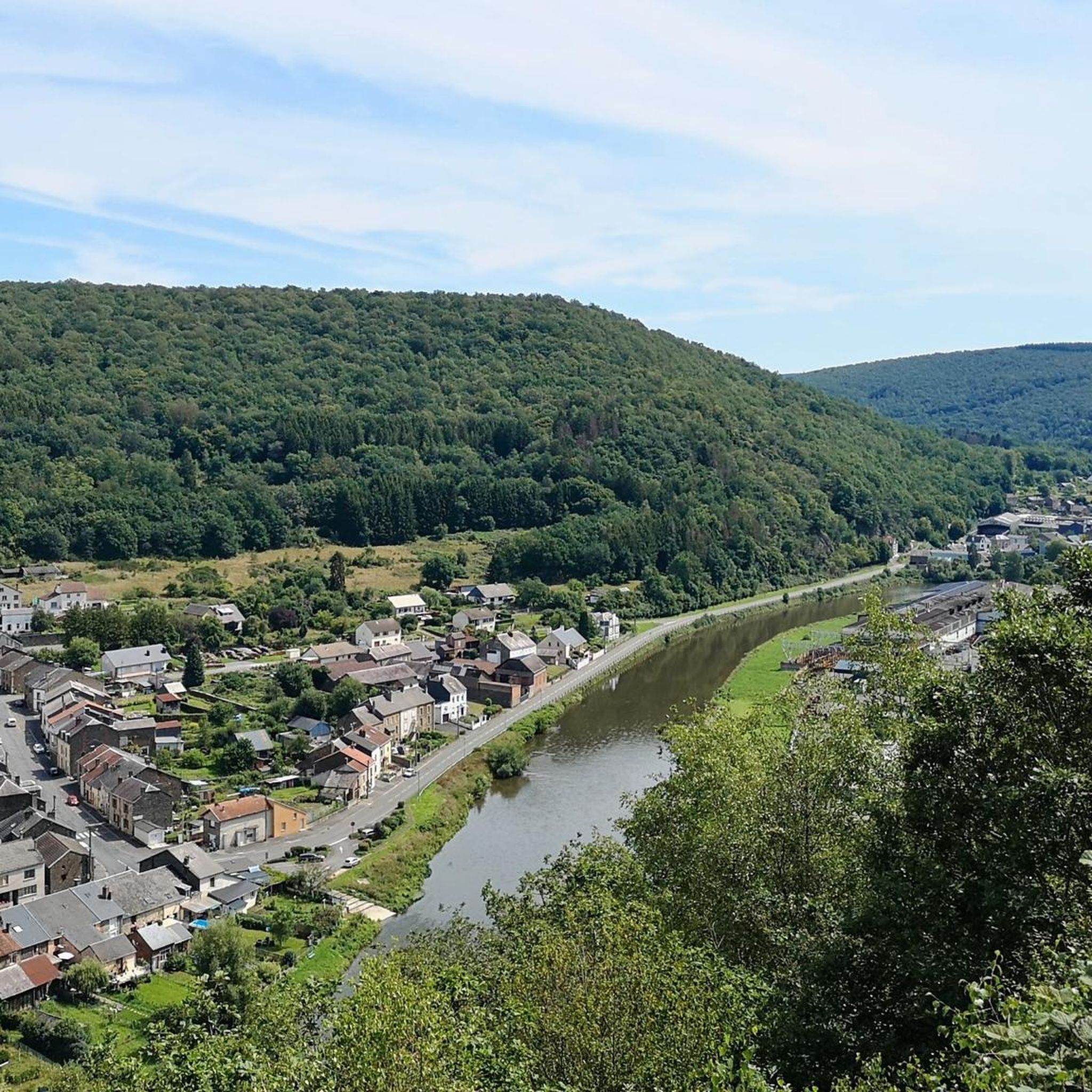
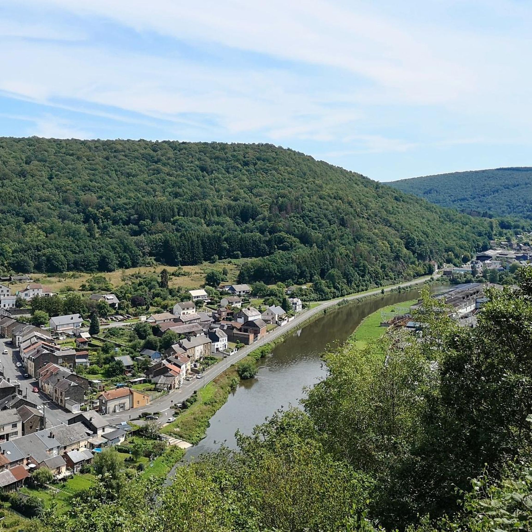
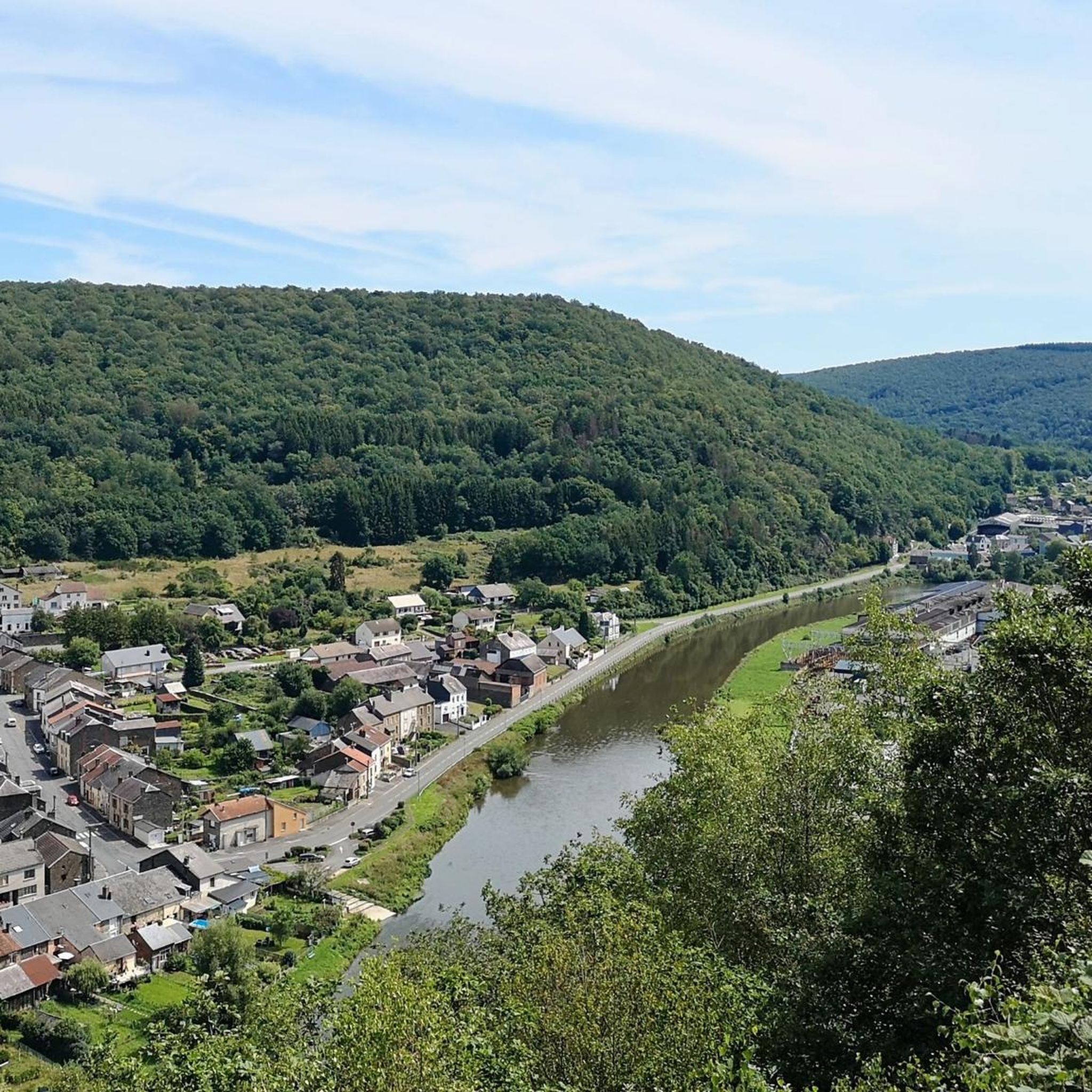
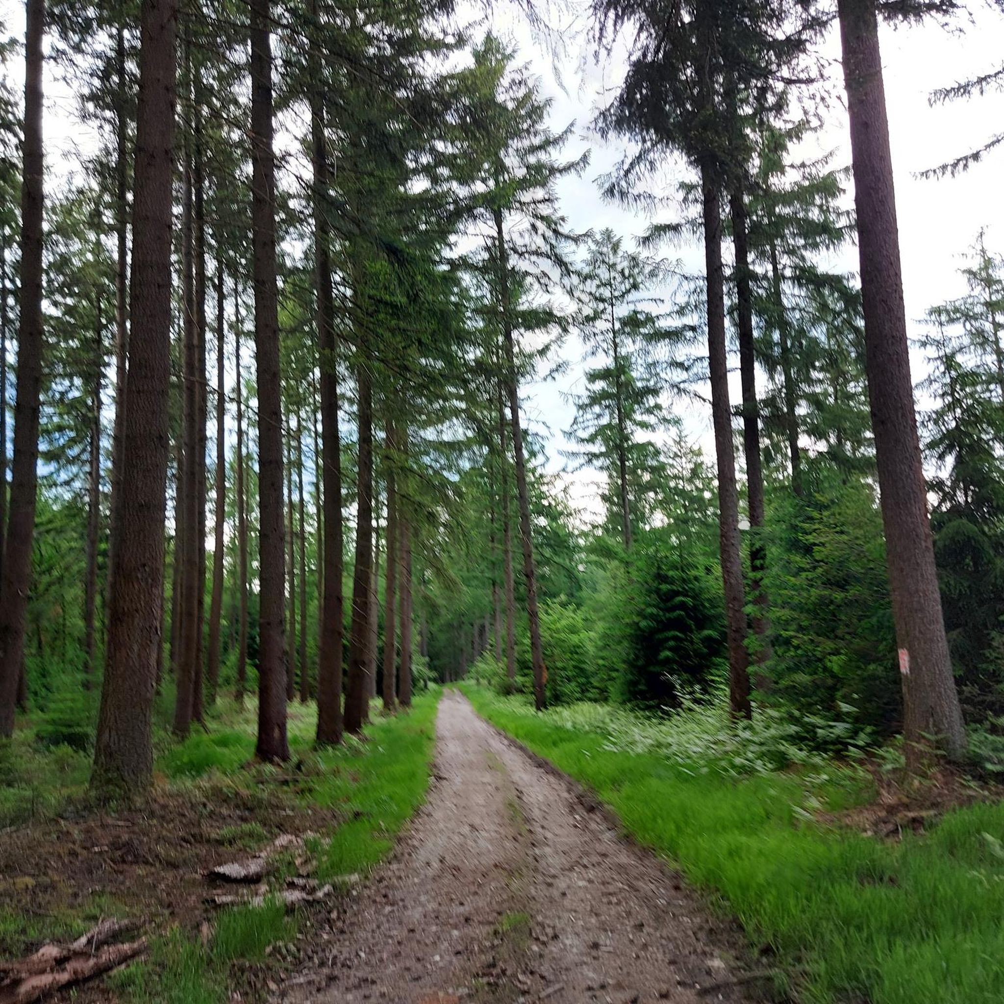
Jogging routes around Les Hautes-Rivières offer diverse terrain within the Ardennes department of northern France. The region is characterized by extensive deciduous and pine forests, providing varied landscapes for runners. Situated on both banks of the Semois river, the area features a network of trails, from riverside paths to routes with significant elevation changes. Elevations range from 157 to 501 meters, with the Ardennes massif reaching its highest point in France within the commune.
Best jogging routes around Les Hautes-Rivières
- The most popular jogging route is Château de Linchamps (Route no. 7 blue), a 7.9 miles (12.8 km) trail that takes 1 hour 43 minutes to complete. This route features forested terrain with notable elevation gain.
- Another top favourite among local runners is The Seven O'Clock Rock loop from Nohan sur Semoy, a difficult 26.3 miles (42.4 km) path. This route includes panoramic viewpoints and varied terrain.
- Local runners also love the Lavoir de la Ruha – Haulmé loop from Les Hautes-Rivières, a 17.7 miles (28.5 km) trail leading through forested areas and river valleys, often completed in about 4 hours 3 minutes.
- Jogging around Les Hautes-Rivières is defined by the picturesque Semois river valley, extensive forested areas, and rewarding panoramic viewpoints. The network offers options for different ability levels, from easy circular routes to challenging paths with significant elevation changes.
- The routes in Les Hautes-Rivières are highly rated by the komoot community with an average score of 4.5 stars from over 140 reviews. More than 9000 runners have used komoot to explore Les Hautes-Rivières's varied terrain.
Last updated: June 29, 2026
5.0
(2)
309
runners
12.8km
01:43
410m
410m
Hard run. Very good fitness required. Sure-footedness, sturdy shoes and alpine experience required.
5.0
(1)
347
runners
43.4km
06:01
1,580m
1,580m
Hard run. Very good fitness required. Sure-footedness, sturdy shoes and alpine experience required.

Sign up for free
5.0
(1)
125
runners
28.5km
04:04
1,160m
1,160m
Hard run. Very good fitness required. Mostly paved surfaces. Suitable for all skill levels.
95
runners
Hard run. Very good fitness required. Mostly paved surfaces. Suitable for all skill levels.
3.0
(1)
325
runners
Hard run. Very good fitness required. Sure-footedness, sturdy shoes and alpine experience required.
Get access to more routes and recommendations from other explorers.
Sign up for free
Already have an account?
Our route recommendations are based on thousands of hikes, rides, and runs completed by other people on komoot.
Start today with a free account
Your next adventure awaits.
Login or Signup

Other adventures around Les Hautes-Rivières

Tips from the Community

From the path, you can enjoy several viewpoints overlooking the valley. They offer beautiful vistas of the rolling landscape, the Semoy river, and the village of Nohan-sur-Semoy.
0
0
A superb section of play amidst the rocky terrain. Take this short detour to admire the ruins of Linchamps Castle, a medieval fort whose origins are uncertain due to a lack of documentation.
1
0
This section offers superb little singletrack trails through the forest, with sections through clearings amidst tall grass. Don't miss the viewpoint overlooking the Semoy valley.
0
0

Beautiful view of the valley. A pleasant place to relax after the climb.
0
0
Unspoiled nature; beautiful grassland next to water. Watch out for mosquitoes in autumn!
0
0

The panoramic view of Monthermé, along the Sentier des 4 Fils Aymon, offers one of the most impressive views of the Meuse Valley in the French Ardennes. From this elevated vantage point, a picturesque scene unfolds of wooded hills, winding river tributaries, and the charming town of Monthermé nestled in a loop of the Meuse River. The view is a highlight of the hiking trail dedicated to the legendary four brothers and their horse, Bayard, and combines nature experiences with epic folklore. Thanks to well-maintained paths and informative signs, the panorama serves as both a visual and cultural highlight.
11
0
The Roche Bayart is a striking rock formation in the French Ardennes, closely linked to the legend of the Four Sons of Aymon. According to the medieval story, the magical horse Bayard, carrying the four brothers on his back, leaped over the rock, creating a cleft in the stone with a single hoofstroke. The rock is located near the monument to the Four Sons of Aymon and, together with the surrounding peaks, forms a symbolic tribute to these heroes of Carolingian epic. The area is accessible via a hiking trail that leads visitors past the rocks and through the forest, offering panoramic views of the Meuse Valley.
10
2

14km loop with 600m of elevation gain
0
0
Frequently Asked Questions
How many running routes are available in Les Hautes-Rivières?
Les Hautes-Rivières offers a wide selection of running routes, with over 360 trails available. These routes cater to various fitness levels, including 23 easy, 192 moderate, and 154 difficult options.
Are there any easy jogging paths suitable for beginners or a relaxed run?
Yes, for those seeking an easier pace, there are 23 routes classified as easy. While specific easy routes are not highlighted in the top selections, the region's diverse network includes paths along the Semois river, such as sections of the 'Trans-Semoysienne' cycle route, which offer relatively flat and scenic terrain ideal for a gentle run.
What kind of terrain can I expect on the running trails in Les Hautes-Rivières?
The running trails in Les Hautes-Rivières feature diverse terrain, ranging from picturesque river valleys along the Semois to extensive deciduous and pine forests. You can expect varied landscapes with elevations from 157 to 501 meters, including challenging ascents and descents, particularly in the Ardennes massif.
Are there any running routes that offer panoramic viewpoints?
Absolutely. The region is known for its rewarding panoramic viewpoints. For example, The Seven O'Clock Rock loop from Nohan sur Semoy is a challenging route that includes stunning vistas. Other notable viewpoints in the area, such as 'La Croix de l'Enfer' and 'Roche Margot', are often incorporated into popular running loops, providing breathtaking views of the surrounding landscape.
Can I find circular jogging routes in Les Hautes-Rivières?
Yes, many of the running routes in Les Hautes-Rivières are circular, allowing you to start and end your run in the same location. An example is the Lavoir de la Ruha – Haulmé loop from Les Hautes-Rivières, which takes you through forested areas and river valleys.
What do other runners say about the trails in Les Hautes-Rivières?
The running routes in Les Hautes-Rivières are highly regarded by the komoot community, boasting an average rating of 4.5 stars from over 140 reviews. More than 9,000 runners have explored the area, often praising the picturesque Semois river valley, the extensive forested areas, and the rewarding panoramic viewpoints.
Are there any specific landmarks or attractions I can see along the running routes?
Yes, several routes pass by interesting landmarks and natural features. For instance, the Seven O'Clock Rock loop is named after the Seven O'Clock Rock viewpoint. Other notable attractions in the wider area include the Roc la Tour viewpoint and the Broken Bridge at Bohan, which can be part of longer running adventures.
Are the running trails in Les Hautes-Rivières suitable for families?
While many routes offer challenging terrain, the region also provides options suitable for families. Look for the 23 easy-rated routes, which are generally shorter and have less elevation gain, making them more accessible for a family outing. Paths along the Semois river are often flatter and more enjoyable for all ages.
Are dogs allowed on the running trails in Les Hautes-Rivières?
Generally, dogs are welcome on trails in natural areas like Les Hautes-Rivières. However, it's always recommended to keep your dog on a leash, especially in forested areas to protect wildlife and ensure the safety of other trail users. Always clean up after your pet to maintain the natural beauty of the environment.
Is there parking available near the trailheads?
Yes, parking facilities are typically available in and around Les Hautes-Rivières, particularly near popular trailheads and village centers. While specific parking locations for every route are not detailed here, you can usually find designated parking areas in communes like Les Hautes-Rivières or Nohan sur Semoy, which serve as starting points for many routes.
What is the best season for running in Les Hautes-Rivières?
Les Hautes-Rivières offers a beautiful running experience throughout much of the year. Spring and autumn provide pleasant temperatures and stunning scenery with blooming flora or vibrant fall foliage. Summer is also popular, though it can be warmer, making early morning or late afternoon runs ideal. Winter running is possible, but trails may be muddy or icy, especially at higher elevations.
Are there any shorter, moderate running routes available?
Yes, for those looking for a moderate challenge without committing to a very long distance, the Château de Linchamps (Route no. 7 blue) is a good option. It's about 7.9 miles (12.8 km) long and features forested terrain with notable elevation gain, offering a satisfying run in under two hours.
Can I access the running trails using public transport?
While Les Hautes-Rivières is a rural area, some public transport options might connect to nearby towns or villages. However, direct access to all trailheads via public transport can be limited. It's advisable to check local bus schedules or consider driving to a central point like Les Hautes-Rivières or Nohan sur Semoy, where many routes begin and parking is more readily available.
Most popular routes around Les Hautes-Rivières
Most popular attractions around Les Hautes-Rivières

Get inspired with the komoot mobile app


Explore more
Browse the best Running Trails & Routes in other regions.
