The best walks and hikes around Saint-Paul-Sur-Ubaye
4.6
(455)
4,407
hikers
66
hikes
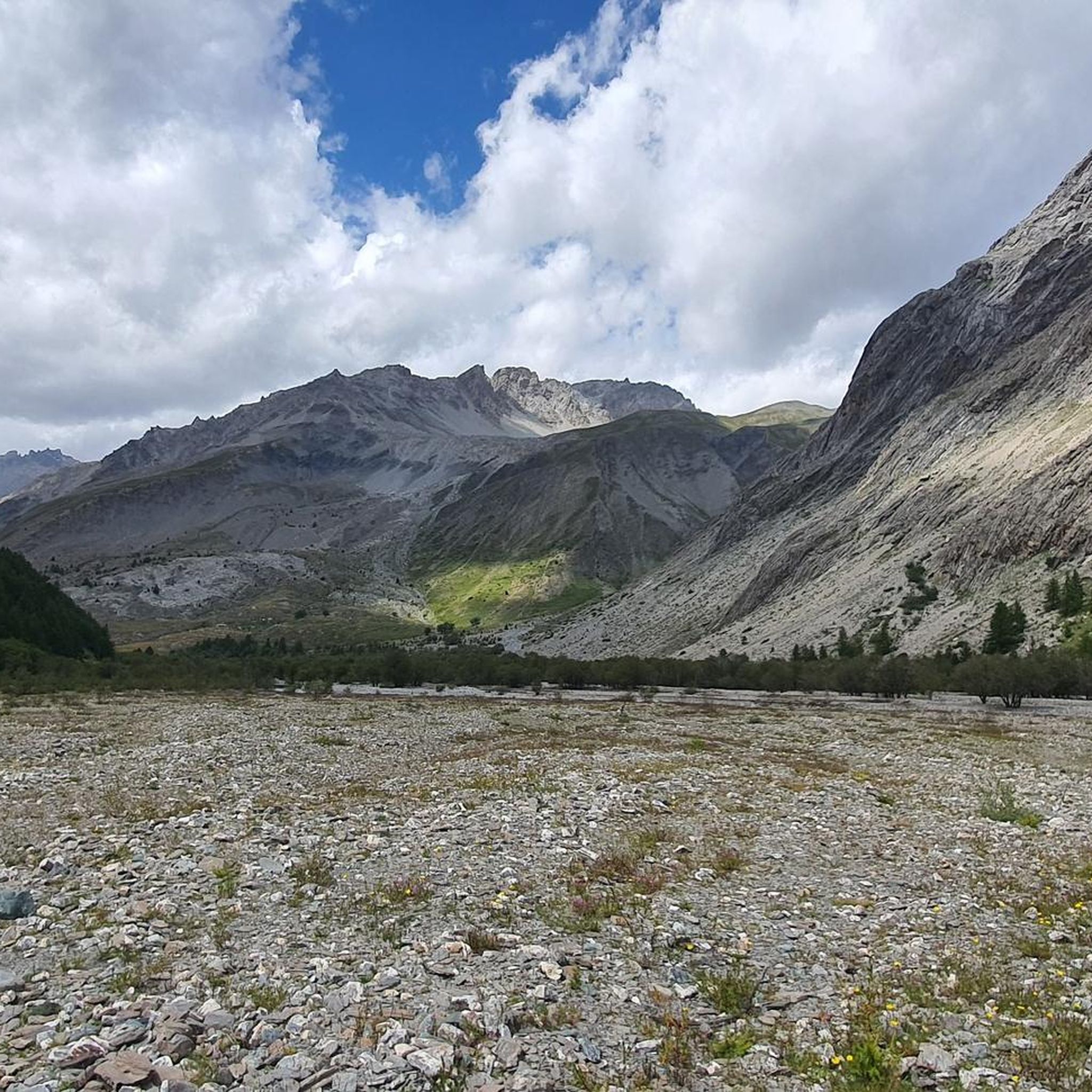
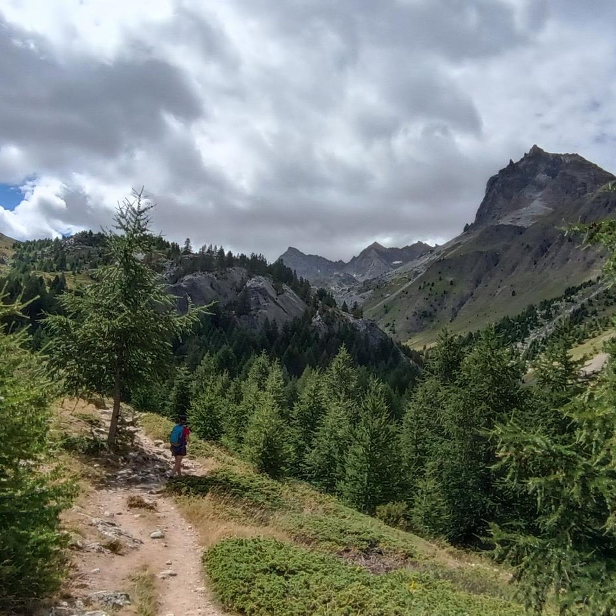
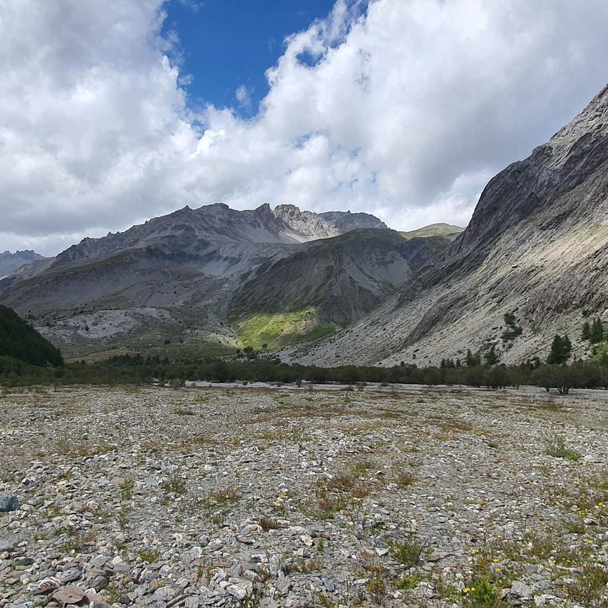
Hiking around Saint-Paul-Sur-Ubaye offers access to the dramatic landscapes of the Ubaye Valley in the Alpes-de-Haute-Provence. The region is characterized by vertiginous peaks, rocky terrain, and high-altitude lakes, with many summits exceeding 3,000 meters. The Ubaye River carves through the valley, creating impressive gorges and diverse environments for exploration.
Best hiking trails around Saint-Paul-Sur-Ubaye
- The most popular hiking route is Lac Long, Lac des Neuf Couleurs and Lac Premier in a loop, an 11.3 miles (18.2 km) difficult trail that takes 7 hours 50 minutes to complete. This route explores multiple high-altitude lakes, including the renowned Lac des Neuf Couleurs.
- Another top favourite among local hikers is Tête de Paneyron in loop, a difficult 12.1 miles (19.5 km) path. This trail offers extensive views across the high-mountain environment of the Ubaye Valley.
- Local hikers also love the Tête de Girardin – Queyras Regional Natural Park, a 6.8 miles (10.9 km) trail leading through the Queyras Regional Natural Park, often completed in about 5 hours 20 minutes.
- Hiking around Saint-Paul-Sur-Ubaye is defined by vertiginous peaks, high-altitude lakes, and dramatic river valleys. The extensive network of 66 routes offers options for easy, moderate, and difficult ability levels.
- The routes in Saint-Paul-Sur-Ubaye are highly rated by the komoot community with an average score of 4.6 stars from more than 400 reviews. More than 4000 hikers have used komoot to explore Saint-Paul-Sur-Ubaye's varied terrain.
Last updated: August 17, 2026
5.0
(33)
407
hikers
18.2km
07:50
1,100m
1,090m
Hard hike. Very good fitness required. Sure-footedness, sturdy shoes and alpine experience required.
4.8
(4)
34
hikers
19.5km
06:34
950m
950m
Hard hike. Very good fitness required. Easily-accessible paths. Suitable for all skill levels.

Sign up for free
5.0
(1)
16
hikers
10.9km
05:21
950m
950m
Hard hike. Very good fitness required. Sure-footedness, sturdy shoes and alpine experience required.
4.8
(36)
280
hikers
9.74km
03:04
210m
210m
Moderate hike. Good fitness required. Mostly accessible paths. Sure-footedness required.
4.8
(22)
272
hikers
15.9km
07:04
940m
940m
Hard hike. Very good fitness required. Mostly accessible paths. Sure-footedness required.
Get access to more routes and recommendations from other explorers.
Sign up for free
Already have an account?
Our route recommendations are based on thousands of hikes, rides, and runs completed by other people on komoot.
Start today with a free account
Your next adventure awaits.
Login or Signup
Popular around Saint-Paul-Sur-Ubaye

Hike from Saint-Étienne-de-Tinée to Briançon – Europe Trail (GR 5)

Mountains and marmots — France’s Ubaye trail (GR 56)

High mountain escapades — 15 peaks over 3,000m in the Alps
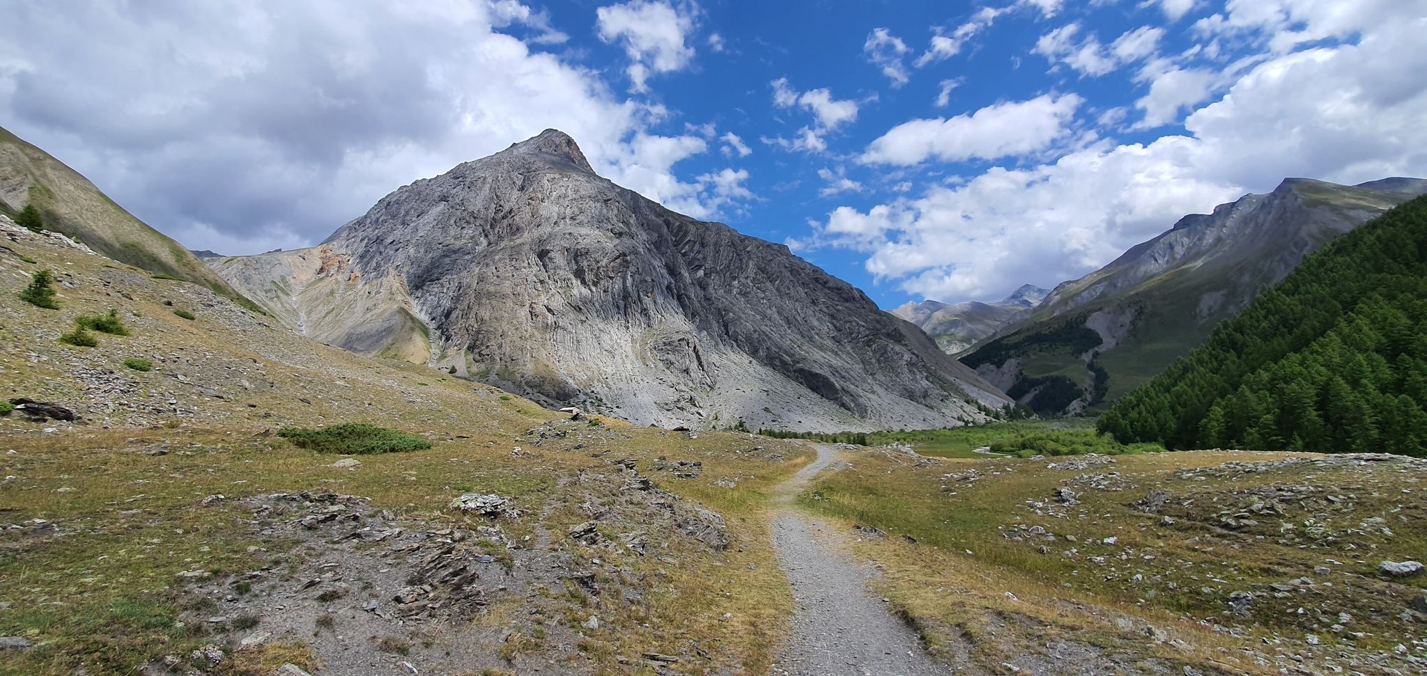
Western trans-alpine crossing – pure adventure on your mountain bike
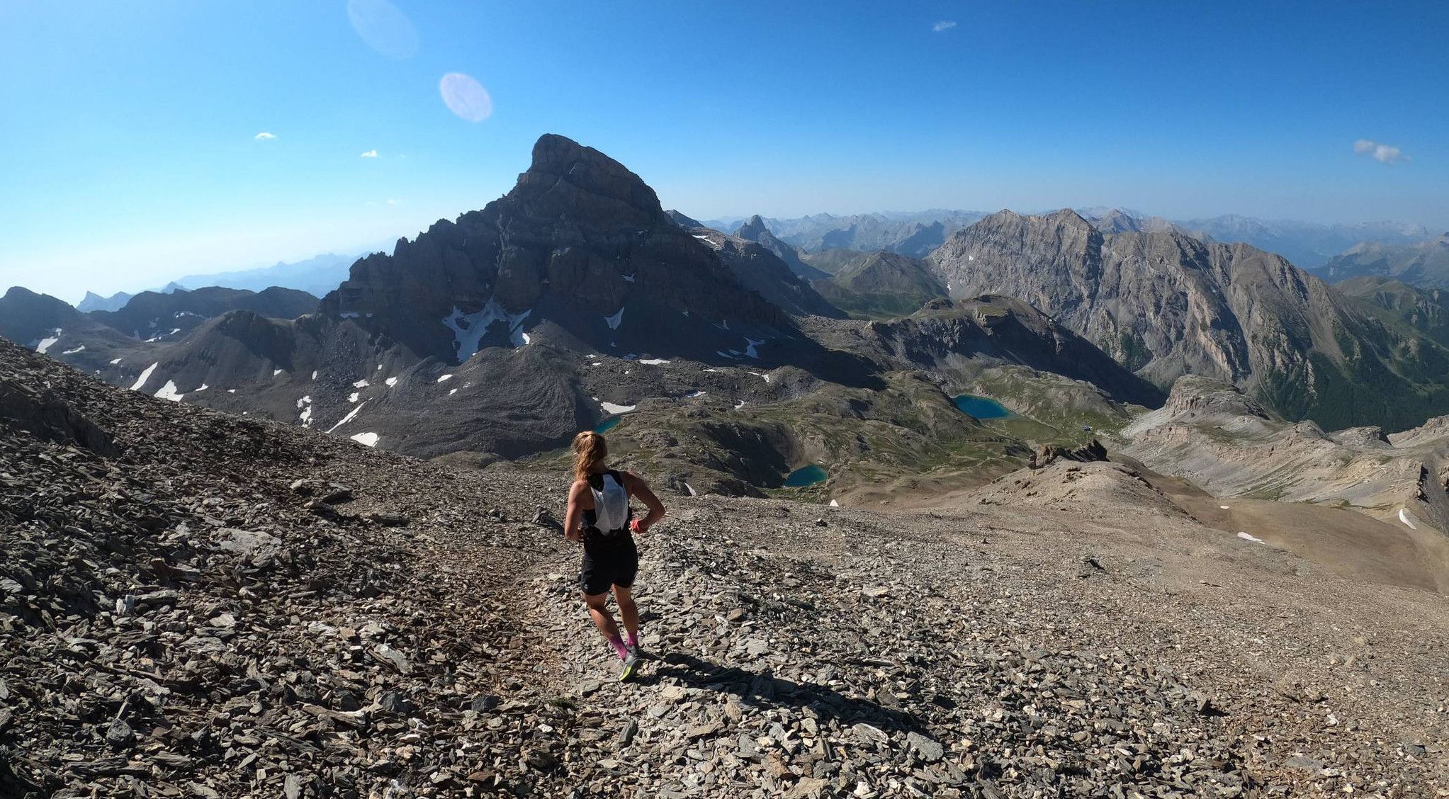
Trail running in the mountain peaks from Barcelonnette
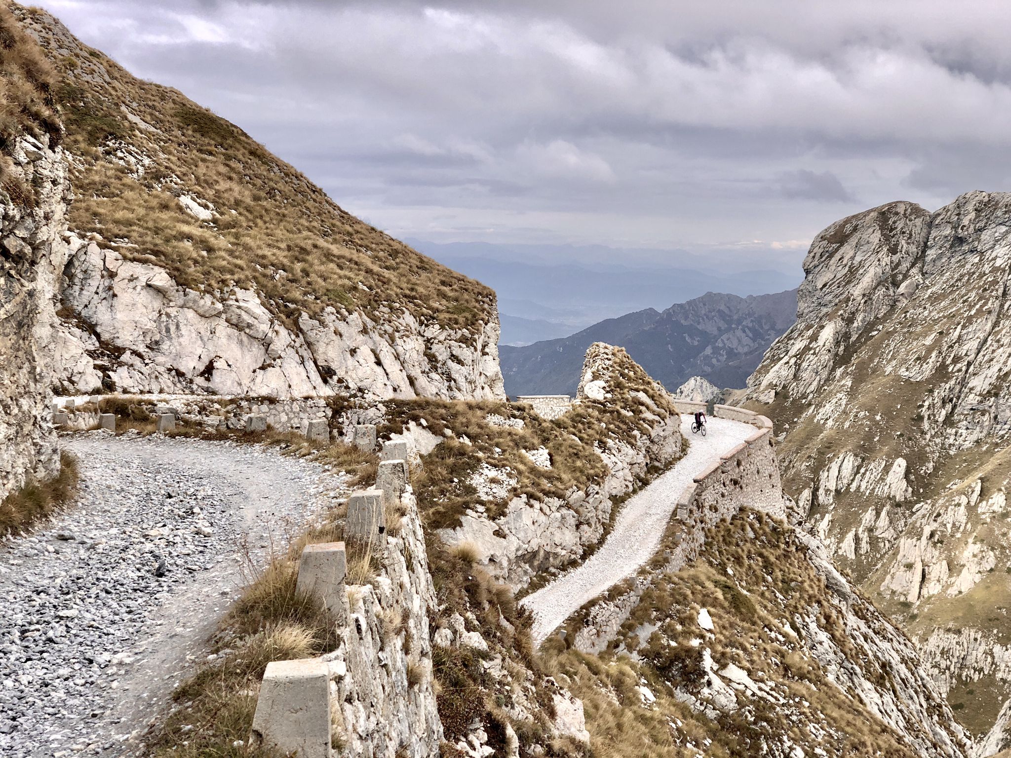
Rough and tough – spectacular gravel loops in the Alps
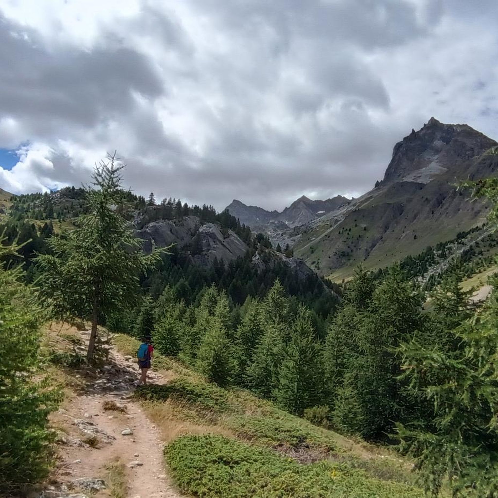
Cycling around Saint-Paul-Sur-Ubaye
Road Cycling Routes around Saint-Paul-Sur-Ubaye
Running Trails around Saint-Paul-Sur-Ubaye
MTB Trails around Saint-Paul-Sur-Ubaye
Other adventures around Saint-Paul-Sur-Ubaye


Tips from the Community


https://youtu.be/JFu9Uf70ECw?si=5jd76ATJkKHsYo-D The village is quite high up, and beyond that, there's nothing else except a church. The lonely church looks like it could be in Mexico, with its wall and arched entrance. Tourists can get food here.
1
0

incredible routes breathtaking views tough portages
0
0

They say it is always open even in self-managed mode. Search for phone number on the web. quota 2650 base for many important excursions.
2
0

This varied hike allows you to discover a traditional mountain village (Fouillouse), the pretty refuge of Chambeyron, and finally the magnificent Lac des Neuf Couleurs, nestled at the foot of the Aiguille de Chambeyron which is the highest point in the Alpes-de-Haute-Provence department. The topo and photos at this address: https://treksrandos.fr/alpes/alpes-de-haute-provence-04/chambeyron/lac-des-neuf-couleurs-2841-m/
2
0

Wonderful hike where the lakes change color depending on the weather, your location and the time of day.
2
0
The panorama from the Tête de Paneyron is fantastic - on all sides. Great light/shadow effects with a sun-cloud mix. The last approx. 150 meters in altitude, a bit steep and strenuous, but technically not a problem for normal hikers. We did the hike in mid-September and were almost alone.
1
0
Frequently Asked Questions
How many hiking trails are there in Saint-Paul-Sur-Ubaye?
Saint-Paul-Sur-Ubaye offers a wide selection of over 60 hiking routes. These trails cater to various fitness levels, with options ranging from easy walks to very challenging high-altitude treks.
What is the best time of year to go hiking in Saint-Paul-Sur-Ubaye?
The best time for hiking in Saint-Paul-Sur-Ubaye is typically from late spring through early autumn (June to September). During these months, the high-altitude trails are generally free of snow, and the weather is most favorable for exploring the dramatic mountain landscapes and pristine lakes.
Are there any easy or family-friendly hiking trails in the area?
Yes, while many routes are challenging, there are easy and moderate options available. For a gentler experience, consider walks around the charming hamlets like Fouillouse, which offer pleasant loops alternating between river and forest paths. There are 12 easy routes and 19 moderate routes in the area.
Can I find circular hiking routes in Saint-Paul-Sur-Ubaye?
Absolutely. Many of the region's trails are designed as circular routes, allowing you to start and finish in the same location. An example of a moderate circular route is the Maljasset – Plan du Parouart - Haute Ubaye loop from Ceillac, which covers about 9.7 km.
What kind of natural attractions can I expect to see on the trails?
The trails in Saint-Paul-Sur-Ubaye are rich with natural beauty. You'll encounter majestic peaks exceeding 3,000 meters, pristine high-altitude lakes like the renowned Bagnour Hut and Lake Bagnour, and dramatic river valleys. Keep an eye out for local wildlife such as marmots and chamois.
Are there any notable landmarks or historical sites along the hiking paths?
Yes, the region blends natural beauty with historical interest. You might come across the historic Châtelet Bridge, offering dizzying views over the Ubaye River, or discover military remains like the Fort de Tournoux and WWII defense posts, particularly above hamlets like Fouillouse.
Are dogs allowed on the hiking trails in Saint-Paul-Sur-Ubaye?
Generally, dogs are welcome on many hiking trails in the Saint-Paul-Sur-Ubaye area, especially if kept on a leash. However, it's always advisable to check specific trail regulations, particularly within protected natural parks or reserves, to ensure compliance.
Where can I find accommodation or places to eat near the trails?
The charming hamlets scattered throughout the Ubaye Valley, such as Fouillouse and Maljasset, often provide gîtes (simple accommodations) and small eateries. These make excellent stopovers for multi-day treks or places to refuel after a day hike.
What do other hikers say about the trails in Saint-Paul-Sur-Ubaye?
The hiking routes in Saint-Paul-Sur-Ubaye are highly regarded by the komoot community, holding an average rating of 4.6 stars from over 400 reviews. Hikers frequently praise the stunning high-mountain scenery, the challenge of the ascents, and the rewarding views of the numerous lakes and peaks.
Are there any challenging high-altitude hikes with significant elevation gain?
Yes, Saint-Paul-Sur-Ubaye is a prime destination for challenging high-altitude hikes. Many routes feature substantial elevation gains and lead to summits over 3,000 meters. For instance, the Tête de Girardin – Queyras Regional Natural Park trail involves nearly 950 meters of ascent.
Can I access trailheads using public transport in Saint-Paul-Sur-Ubaye?
While public transport options might be limited directly to all trailheads, some villages and hamlets in the Ubaye Valley are served by local bus routes, especially during peak tourist season. For more remote starting points, a personal vehicle is often recommended. It's best to check local transport schedules for the most up-to-date information.
Are there any huts or refuges available for overnight stays on longer treks?
Yes, the region is well-equipped with huts and refuges, which are essential for multi-day treks in the high mountains. Notable options include the Chambeyron Hut and the Bagnour Hut, providing shelter and often meals for hikers.
Most popular routes around Saint-Paul-Sur-Ubaye
Most popular attractions around Saint-Paul-Sur-Ubaye

Get inspired with the komoot mobile app


Explore more
Browse the best Hikes in other regions.
