The best walks and hikes around Teyssières
4.4
(622)
3,197
hikers
15
hikes
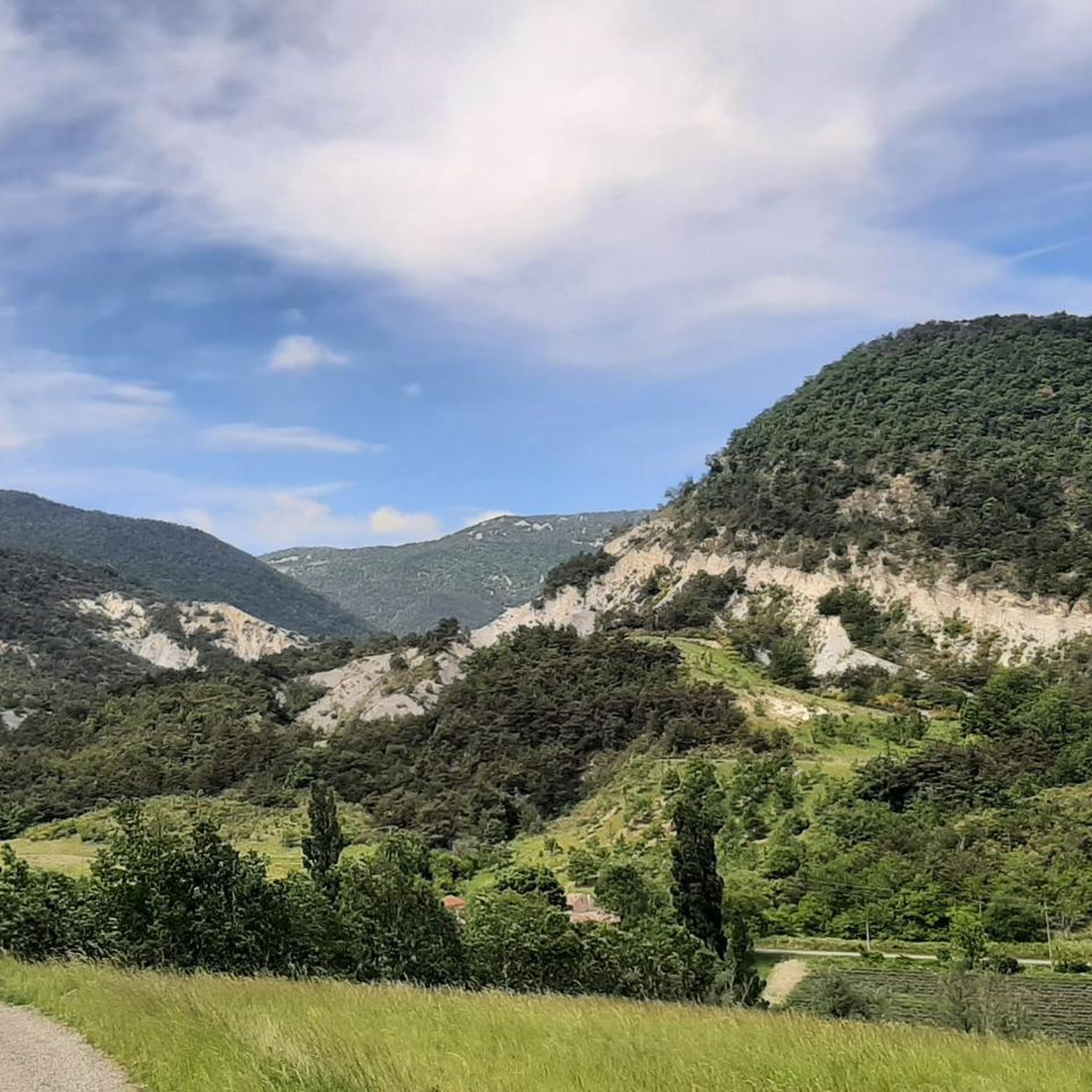
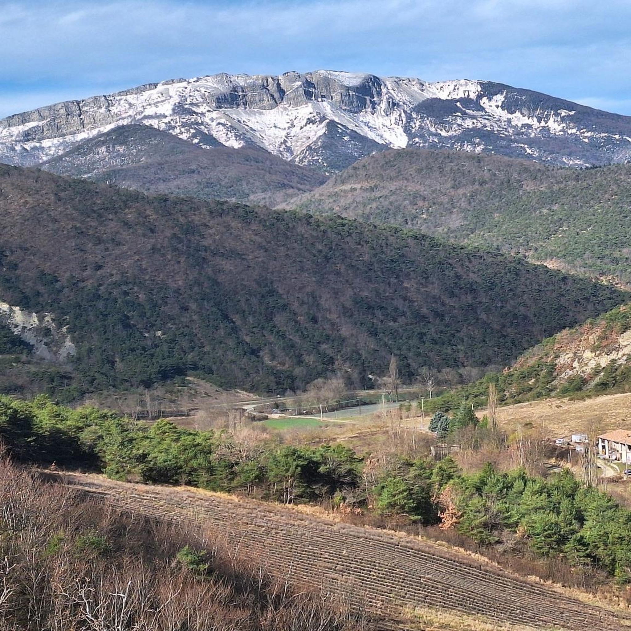
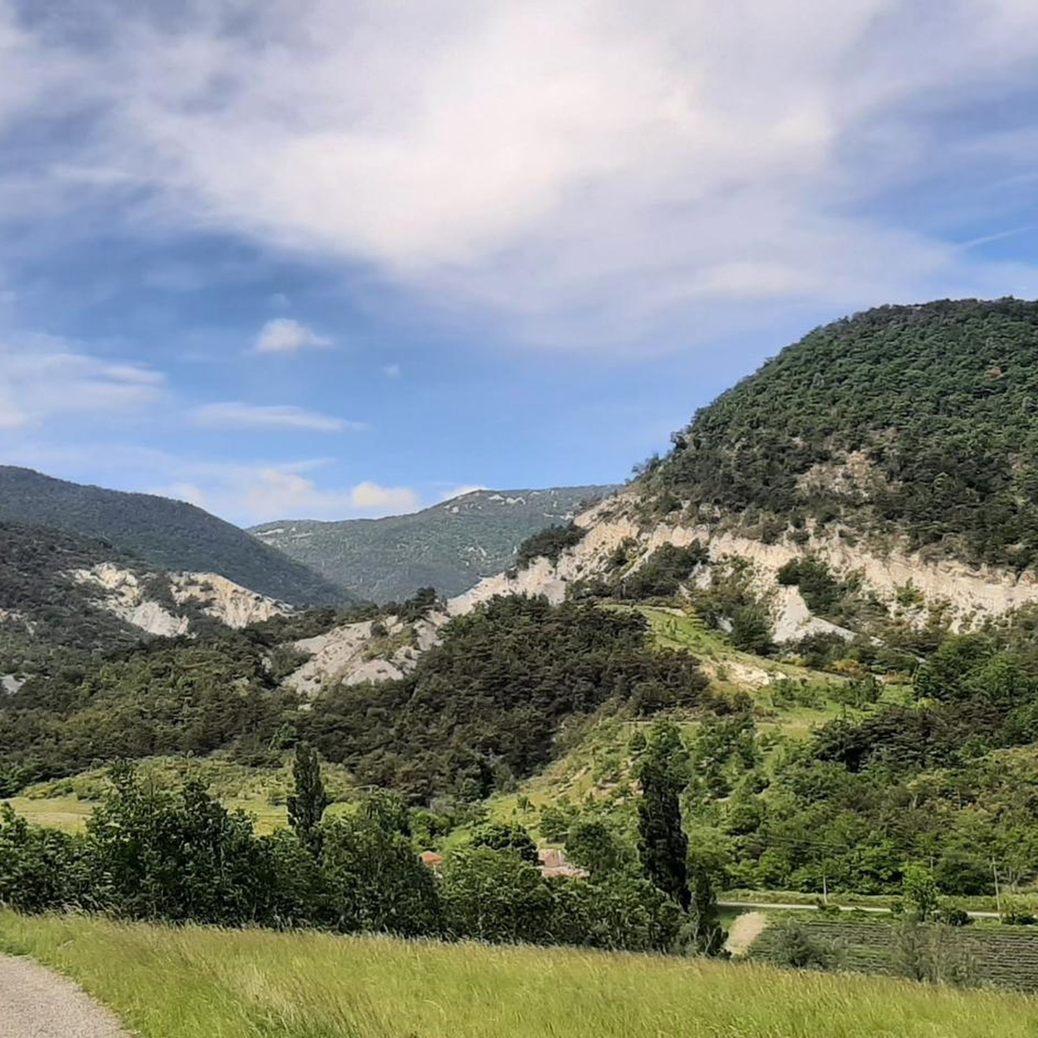
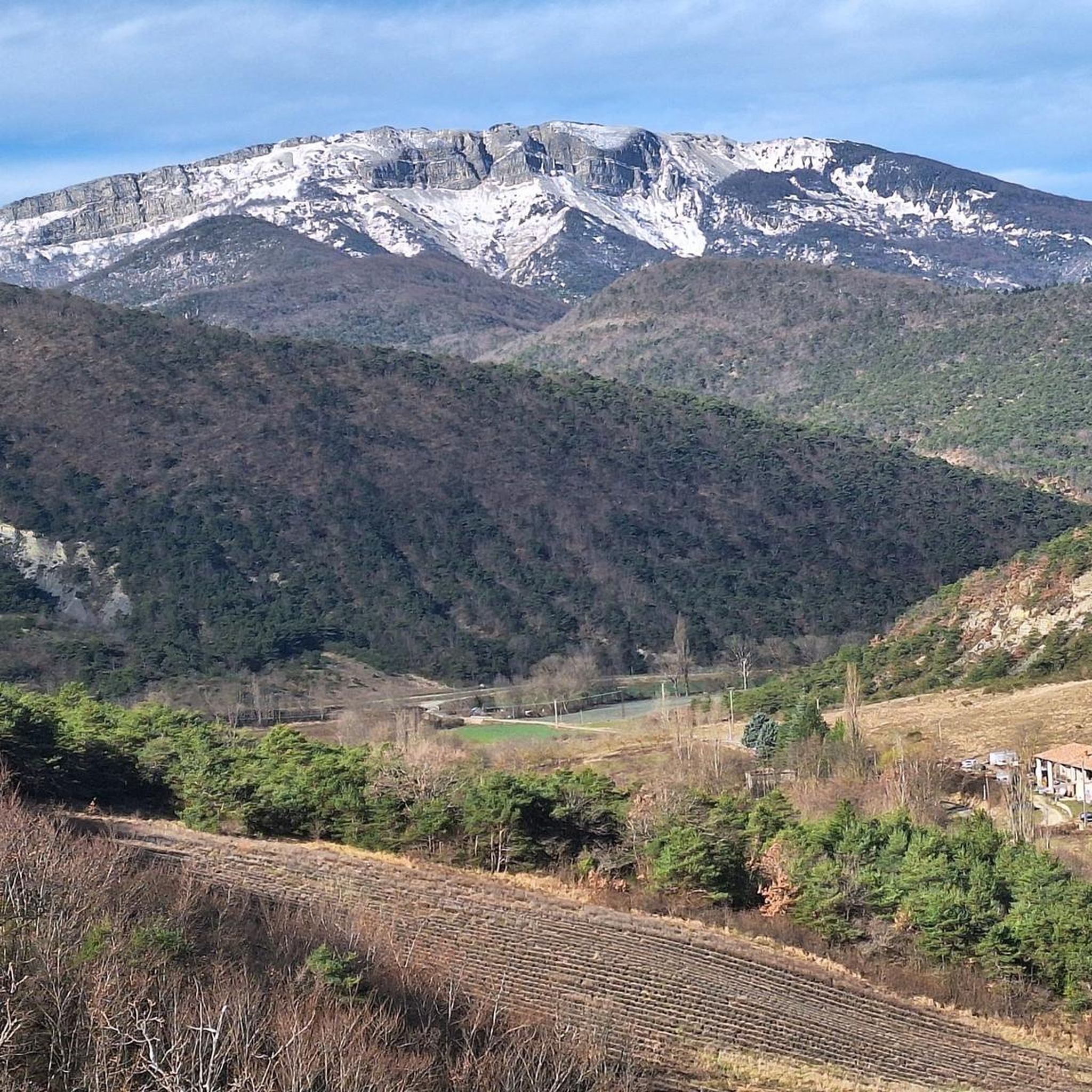
Hiking around Teyssières offers diverse landscapes within the Drôme department, situated in the Parc Naturel des Baronnies. The terrain features a blend of lavender fields, groves of walnut and chestnut trees, and unique grey marls. Dominant mountains like La Lance, Miélandre, and Coucourdet provide varied elevation, with the Lez river adding to the scenic charm.
Best hiking trails around Teyssières
- The most popular hiking route is Church of Teyssières – Teyssières Old Village loop from Teyssières, a 6.3 miles…
Last updated: May 12, 2026
4.2
(6)
27
hikers
10.1km
03:49
660m
660m
Moderate hike. Good fitness required. Easily-accessible paths. Suitable for all skill levels.
5.0
(6)
29
hikers
9.71km
03:29
550m
550m
Moderate hike. Good fitness required. Mostly accessible paths. Sure-footedness required.

Sign up for free
4.0
(2)
15
hikers
6.22km
01:42
90m
90m
Easy hike. Great for any fitness level. Easily-accessible paths. Suitable for all skill levels.
4.0
(2)
14
hikers
5.71km
01:34
90m
90m
Easy hike. Great for any fitness level. Easily-accessible paths. Suitable for all skill levels.
5
hikers
13.7km
04:53
780m
780m
Moderate hike. Good fitness required. Easily-accessible paths. Suitable for all skill levels.
Get access to more routes and recommendations from other explorers.
Sign up for free
Already have an account?
Our route recommendations are based on thousands of hikes, rides, and runs completed by other people on komoot.
Start today with a free account
Your next adventure awaits.
Login or Signup

Tips from the Community

Beautiful route, the arrival at the pass is a bit disappointing, not inviting for a stop.
0
0

magnificent view, the climb along the ridge is technical, take the path if necessary
0
0

Very small but picturesque village with beautiful old stone houses; romantic.
1
0
Interesting church in a beautiful location with an old cemetery; recommended.
0
0

summit of the lance mountain, exceptional panorama
0
0

Pleasant collar. Its 5kms at 5.5% average with a maximum slope of 6% make it accessible to the greatest number.
0
0

Wonderful quiet pass road with particularly beautiful views of blooming lavender fields at this time of the year
0
0

Magnificent view of the Drôme Provençale and its hills
0
0
Frequently Asked Questions
What kind of hiking difficulty can I expect around Teyssières?
Teyssières offers a diverse range of hiking experiences. Out of approximately 15 trails, you'll find options for all levels: 2 are considered easy, 12 are moderate, and there is 1 challenging route. This variety ensures that both casual walkers and experienced hikers can find suitable paths.
Are there family-friendly hiking trails in Teyssières?
Yes, Teyssières has several trails suitable for families. For an easier option, consider the Teyssières Old Village – Church of Teyssières loop from Teyssières, which is 6.2 km long and takes about 2 hours. The region's gentle lavender fields and charming old village areas provide a pleasant backdrop for walks with children.
Can I bring my dog on hikes in Teyssières?
Generally, dogs are welcome on most hiking trails in the Teyssières area, especially within the Parc Naturel des Baronnies. However, it's always recommended to keep them on a leash, particularly in agricultural areas (like lavender fields) or near livestock, and to respect local signage. Always carry water for your pet.
Are there many circular hiking routes available in Teyssières?
Yes, many of the hiking routes around Teyssières are designed as circular loops, allowing you to start and end in the same location. For example, the Teyssières Old Village – Valouse pass loop from Teyssières is a popular moderate circular route offering great views.
What natural landmarks or viewpoints can I discover on the trails?
The trails around Teyssières offer stunning natural features and panoramic viewpoints. You can explore the unique grey marls, enjoy the vibrant lavender fields, and ascend to various mountain passes. Notable viewpoints include those found on routes like the Vue 360 ! – Teyssières Old Village loop from Teyssières. You might also encounter natural monuments like the Gorges de Trente-Pas or the Le Trou de Souris Rock Arch in the wider region.
What historical sites or cultural attractions can I see while hiking?
Teyssières is rich in history. The old village itself, with its traditional stone houses and 'calades,' is a charming attraction. You can also visit the 19th-century Saint-Pierre-et-Saint-Paul church. Along the route du col de Valouse, the ruins of Château d'Audefrey cling to the rock, offering a glimpse into the region's medieval past. A local family-run distillery also provides insight into traditional lavandin essence production.
What is the best time of year to hike in Teyssières?
The best time to hike in Teyssières is typically from spring to autumn. Spring brings lush greenery and wildflowers, while summer (especially June and July) is ideal for experiencing the famous lavender fields in full bloom. Autumn offers pleasant temperatures and beautiful fall foliage. While winter hiking is possible, some higher elevation trails might be challenging due to snow or ice.
Are there any challenging hikes for experienced trekkers?
Yes, for those seeking a challenge, there is 1 difficult route among the 15 available trails. These routes often involve significant elevation gain, leading to summits like La Lance, Miélandre, or Coucourdet, and rewarding hikers with extensive panoramic views of the Drôme Provençale landscape.
What do other hikers enjoy most about hiking in Teyssières?
The hiking experience in Teyssières is highly rated by the komoot community, with an average score of 4.4 stars from over 580 reviews. Hikers frequently praise the diverse landscapes, including the picturesque lavender fields, groves of walnut and chestnut trees, and the stunning panoramic views from mountain ridges. The charming traditional villages and well-maintained paths also receive positive feedback.
How long do the hikes around Teyssières typically take?
The duration of hikes varies depending on the route and your pace. For example, an easy route like the Teyssières Old Village – Church of Teyssières loop takes about 2 hours. Moderate trails, such as the Church of Teyssières – Teyssières Old Village loop, typically require around 3 hours 50 minutes, while longer, more challenging routes can take 4 hours or more.
Is there public transport or parking available for accessing the trails?
While specific public transport options directly to all trailheads might be limited, Teyssières is accessible by road, and parking is generally available within or near the old village. It's advisable to check local transport schedules if you plan to rely on public transport. Many trails, being circular, start and end conveniently near village parking areas.
Most popular routes around Teyssières
Most popular attractions around Teyssières

Get inspired with the komoot mobile app


Explore more
Browse the best Hikes in other regions.
