The best road cycling routes around La Valla-Sur-Rochefort
4.4
(26)
625
riders
80
rides
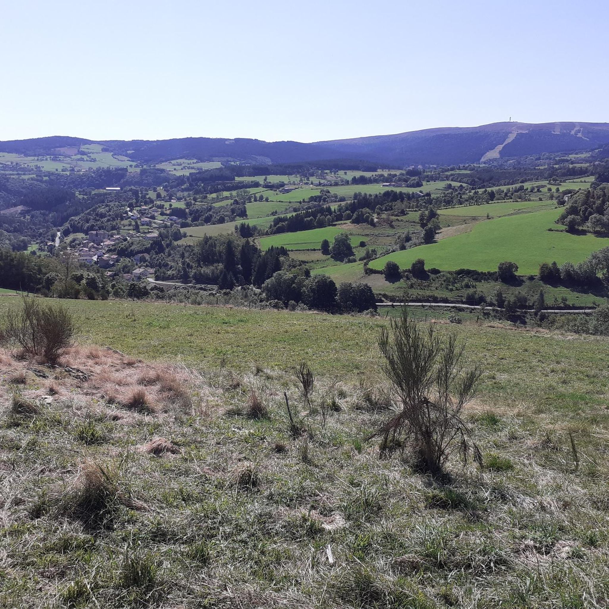
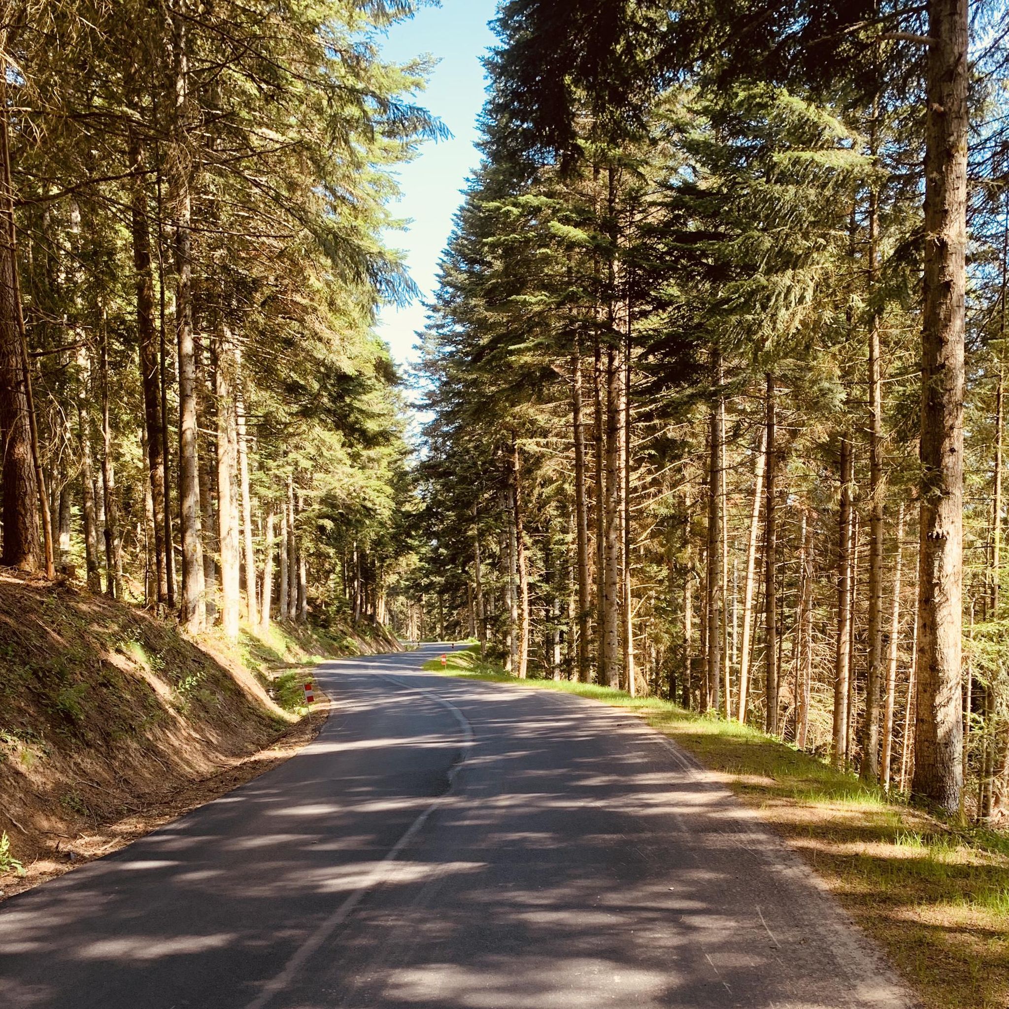
Road cycling around La Valla-Sur-Rochefort offers varied terrain characterized by rolling hills, lush forests, and tranquil river valleys. The region is situated within the Monts du Forez, providing elevated landscapes and challenging climbs. Cyclists can expect a network of routes that wind through diverse natural features, including the notable Col des Brosses and Col de la Loge. This area provides a serene backdrop for road cycling, with options ranging from moderate to difficult.
Best road cycling routes around La Valla-Sur-Rochefort
…Last updated: July 1, 2026
5.0
(1)
25
riders
54.6km
02:59
1,120m
1,120m
Hard road ride. Very good fitness required. Mostly well-paved surfaces and easy to ride.
13
riders
48.5km
02:30
680m
680m
Moderate road ride. Good fitness required. Some segments of this route may be unpaved and difficult to ride.

Sign up for free
6
riders
40.3km
02:08
720m
720m
Moderate road ride. Good fitness required. Mostly well-paved surfaces and easy to ride.
9
riders
52.2km
02:39
880m
880m
Moderate road ride. Good fitness required. Mostly well-paved surfaces and easy to ride.
10
riders
42.9km
02:29
880m
880m
Moderate road ride. Good fitness required. Mostly well-paved surfaces and easy to ride.
Get access to more routes and recommendations from other explorers.
Sign up for free
Already have an account?
Our route recommendations are based on thousands of hikes, rides, and runs completed by other people on komoot.
Start today with a free account
Your next adventure awaits.
Login or Signup

Tips from the Community

Great water point to cool off in the summer, swimming is often supervised. Take a look at the lifeguard cabin to check if the water is swimmable; during high temperatures bacteria can develop there. For more advice, follow us on Komoot or Instagram @chouchou_team
0
0

The Col de la Loge peaks at an altitude of 1,253 meters. In winter, it is the gateway to long and beautiful cross-country ski trails which head towards the heart of Livradois-Forez. In summer, hikers take it to enjoy the serenity of the woods that populate the surrounding area.
0
0
At the entrance to Livradois-Forez, the Col du Reculon peaks at an altitude of 1,152 meters. Very popular with cyclists, it is also popular with hikers who walk the GR 3.
1
0

great marked circuit
0
0

The Col de la Loge, located at 1,253 meters above sea level, has its own chalet-inn. It is an ideal place to stop there during your roaming. All the information can be found on the chalet's website: http://www.coldelaloge.fr/.
0
0

The La Chamba Recoil Pass is 1.7 km long with a total drop of 71 m. The average slope is 5% with maximum slopes of 10% towards the summit.
1
0

With the possibility of swimming and enjoying a beach, this could be the ideal place to have lunch during your hike.
2
0

Departure of cross-country skis
2
0
Frequently Asked Questions
How many road cycling routes are available around La Valla-sur-Rochefort?
There are over 80 road cycling routes around La Valla-sur-Rochefort, offering a wide range of options for different skill levels. You'll find routes winding through varied terrain, from rolling hills to elevated mountain passes.
What are the typical difficulty levels for road cycling in this region?
The routes around La Valla-sur-Rochefort cater to various abilities. While there is 1 easy route, the majority are moderate (43 routes) or difficult (40 routes), featuring significant elevation changes as they traverse the Monts du Forez.
What kind of landscapes can I expect to see while road cycling near La Valla-sur-Rochefort?
You can expect picturesque landscapes characterized by rolling hills, lush forests, and tranquil river valleys. The region is situated within the Monts du Forez, offering elevated terrain and stunning views, particularly around passes like the Col des Brosses and Col de la Loge.
Are there any notable natural features or landmarks to look out for along the routes?
Yes, the area is rich in natural features. You can cycle past the Béal Pass, the scenic Col de la Loge, and the Ladret Cross Pass. The Monts du Forez also offer diverse plant life and opportunities for observing local fauna and flora, especially around the Col des Brosses.
What do other road cyclists enjoy the most about cycling in La Valla-sur-Rochefort?
The road cycling routes in La Valla-sur-Rochefort are highly rated by the komoot community, with an average score of 4.5 stars from over 24 reviews. Cyclists often praise the varied terrain, the challenging climbs through the Monts du Forez, and the serene backdrop of forests and river valleys.
Are there any family-friendly road cycling routes in the area?
While many routes feature significant elevation, there is 1 easy route available. For families looking for less strenuous options, it's advisable to check the elevation profiles and distances of moderate routes to find those that best suit your family's experience level.
What is the best time of year for road cycling around La Valla-sur-Rochefort?
The warmer months are generally the best for road cycling in La Valla-sur-Rochefort, as the higher elevations in the Monts du Forez can experience colder conditions. Spring and autumn offer pleasant temperatures and beautiful scenery, while summer provides longer daylight hours for extended rides.
Are there any circular road cycling routes available?
Yes, many of the routes around La Valla-sur-Rochefort are designed as loops, allowing you to start and finish in the same location. Examples include the Ladret Cross Pass – Col de la Loge loop from Chalmazel-Jeansagnière and the Col de la Loge (1,253 m) – Col de la Loge loop from Largey.
Where can I find parking for my car when starting a road cycling route?
Specific parking information varies by starting point. Many routes begin from villages or hamlets where public parking may be available. It's recommended to check the details for your chosen route on komoot, as starting locations often have designated or informal parking areas.
Are there places to eat or stay near the cycling routes?
Yes, you can find local producers, cafes, and accommodation options in and around La Valla-sur-Rochefort and nearby villages. For specific lodging, you might explore options like Les Loges de la Valla. Discovering local producers can also add a cultural and culinary dimension to your cycling trip.
What is the most challenging road cycling route in the area?
One of the most challenging routes is the Ladret Cross Pass – Col de la Loge loop from Chalmazel-Jeansagnière. This difficult 54.7 km route features over 1,100 meters of elevation gain, taking you through the elevated terrain of the Monts du Forez.
Can I reach La Valla-sur-Rochefort by public transport for cycling?
Public transport options directly to La Valla-sur-Rochefort may be limited due to its rural location. It is advisable to check regional bus services or train connections to larger nearby towns and then plan for a shorter transfer to La Valla-sur-Rochefort if you intend to rely on public transport.
Are there any routes that offer a mix of ascents and descents through varied countryside?
Absolutely. The Centre of Noirétable loop from Lestrat-Haut is a moderate 47.9 km path that traverses varied countryside, providing a balanced mix of ascents and descents through the region's natural landscapes.
Most popular routes around La Valla-Sur-Rochefort
Most popular attractions around La Valla-Sur-Rochefort

Get inspired with the komoot mobile app


Explore more
Browse the best Road cycling routes in other regions.
