The best walks and hikes around Étouvelles
4.5
(368)
1,669
hikers
140
hikes
Hiking around Étouvelles offers routes through the surrounding countryside of the Aisne department. The commune itself is characterized by low elevation, with the broader region featuring woodlands and valleys. While Étouvelles is a small village, the nearby areas provide a network of trails suitable for exploring the rural landscape.
Best hiking trails around Étouvelles
- The most popular hiking route is End of single loop from Mons-en-Laonnois, a 6.5 miles (10.5 km) trail that takes 2 hours 55 minutes to…
Last updated: July 5, 2026
4.7
(13)
35
hikers
10.5km
02:55
190m
190m
Moderate hike. Good fitness required. Easily-accessible paths. Suitable for all skill levels.
5.0
(2)
16
hikers
11.4km
03:05
160m
160m
Moderate hike. Good fitness required. Easily-accessible paths. Suitable for all skill levels.

Sign up for free
5.0
(2)
13
hikers
7.47km
02:03
120m
120m
Moderate hike. Good fitness required. Easily-accessible paths. Suitable for all skill levels.
4.7
(11)
9
hikers
11.4km
03:10
200m
200m
Moderate hike. Good fitness required. Easily-accessible paths. Suitable for all skill levels.
5.0
(1)
6
hikers
16.0km
04:25
260m
260m
Moderate hike. Good fitness required. Easily-accessible paths. Suitable for all skill levels.
Get access to more routes and recommendations from other explorers.
Sign up for free
Already have an account?
Our route recommendations are based on thousands of hikes, rides, and runs completed by other people on komoot.
Start today with a free account
Your next adventure awaits.
Login or Signup



Tips from the Community

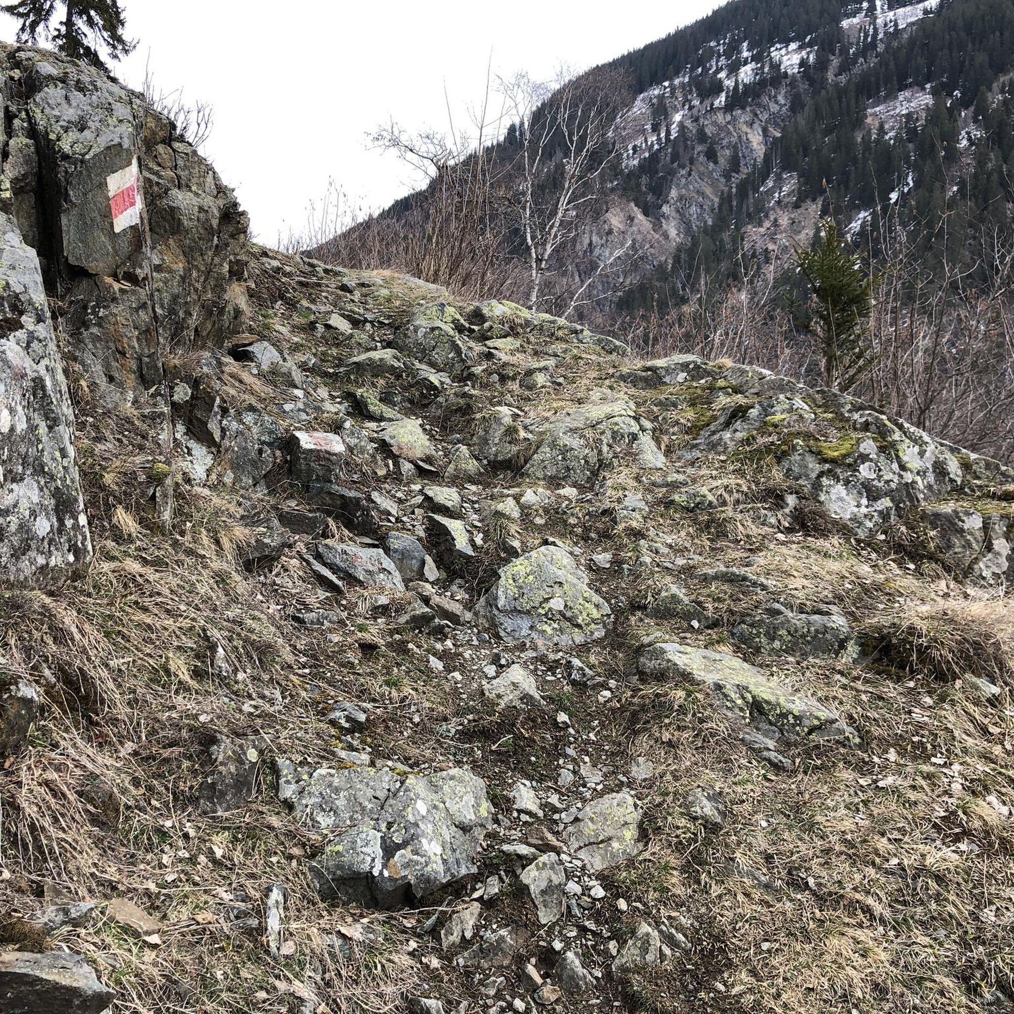
Last part of the path to the stone fort, quite rolling
0
0

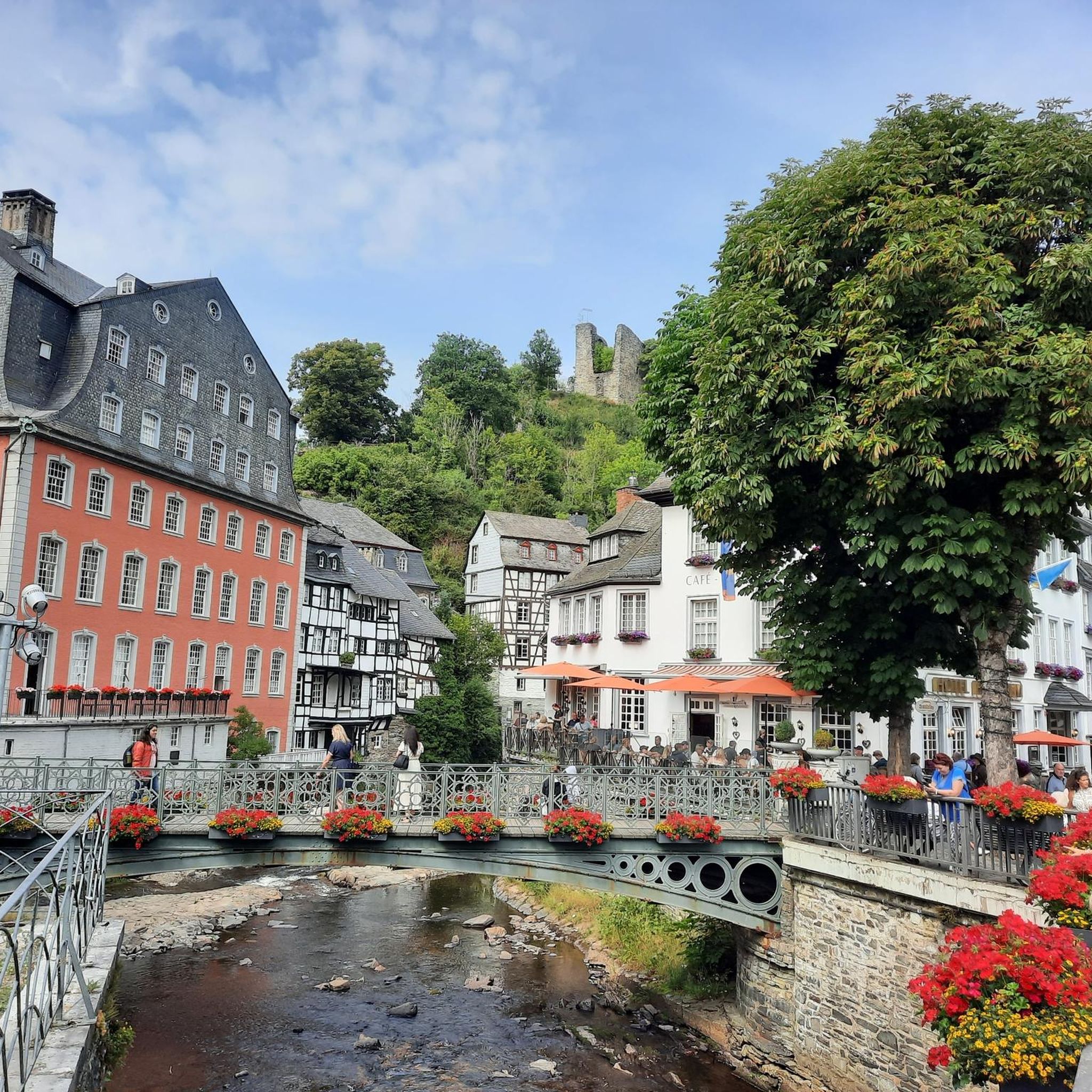
Bourguignon sous Montbavin is the birthplace of Le Nain brothers, famous 17th century painters. Its prestigious past can be seen in the beautiful remaining residences and the pretty fountains. A very beautiful village in the Aisne.
0
0

Central to the city is the town hall, the church and the monument of the dead. But as is the custom in the region you will find many photos, but little explanation.
1
0
As is the custom in this region, you will find thousands of photos, but almost no explanation. The monument is recognized as a memorial to the war in '14 -'18 and is on the list of public works of art in the Aisne.
1
0
Church of Saint-Pierre-et-Saint-Paul, listed as a historic monument on August 12, 1909
1
0
Frequently Asked Questions
How many hiking trails are available around Étouvelles?
There are over 120 hiking routes available around Étouvelles, offering a variety of options for exploring the local countryside. These trails range from easy walks to more moderate excursions.
What is the general difficulty level of hikes near Étouvelles?
The majority of hikes around Étouvelles are classified as easy or moderate. There are approximately 60 easy routes and 66 moderate routes, with only a few more challenging options available. This makes the area suitable for a wide range of hikers.
Are there any circular hiking routes in the Étouvelles area?
Yes, many of the trails around Étouvelles are circular. For example, the Hiking loop from Mons-en-Laonnois is a popular 9.9-mile (16.0 km) route that takes you through rolling hills and open countryside.
What kind of terrain can I expect on the hiking trails around Étouvelles?
The terrain around Étouvelles is characterized by open countryside, agricultural fields, woodlands, and gentle valleys. You can expect mostly low elevation changes, typical of the Aisne department in northern France.
Are there any family-friendly hiking options near Étouvelles?
Given the prevalence of easy and moderate trails with low elevation, many routes in the Étouvelles area are suitable for families. An example of an easier route is the Hiking loop from Royaucourt-et-Chailvet, which is 6.2 miles (10.0 km) long.
What do other hikers say about the trails around Étouvelles?
The trails around Étouvelles are highly rated by the komoot community, with an average score of 4.6 stars from over 320 reviews. Hikers often appreciate the quiet rural landscapes and the opportunity to explore the surrounding countryside.
Are there any notable landmarks or attractions to see while hiking near Étouvelles?
While Étouvelles itself is a small village, the broader area, particularly near Laon, offers historical attractions. You might consider visiting sites like Notre-Dame Cathedral, the Laon Old Town with its murals and fortifications, or the Saint-Martin abbey, which are accessible from some of the longer routes in the region.
Is there parking available near the trailheads in the Étouvelles area?
Information on specific parking facilities for individual trailheads is not always detailed. However, as Étouvelles and nearby villages are small, you can often find public parking in the village centers or near starting points of popular routes. It's advisable to check local signage.
Can I access hiking trails near Étouvelles using public transport?
Étouvelles is a small commune, and direct public transport access to specific trailheads might be limited. Public transport options are generally more available in larger nearby towns like Laon. Planning your route in advance and checking local bus schedules would be recommended if relying on public transport.
Are there any long-distance hiking options that pass through or near Étouvelles?
While Étouvelles itself is not a major hub for long-distance trails, the broader Hauts-de-France region features extensive woodlands and countryside with segments of longer trails. The local routes, such as the Logyard – cave loop from Mons-en-Laonnois (8.6 miles / 13.8 km), offer substantial distances for a day hike.
What is the best time of year to go hiking around Étouvelles?
The Hauts-de-France region generally offers pleasant hiking conditions during spring, summer, and early autumn. These seasons provide milder weather and lush landscapes. Winter hiking is possible but can be colder and potentially muddy, depending on precipitation.
Most popular routes around Étouvelles
Most popular attractions around Étouvelles

Get inspired with the komoot mobile app


Explore more
Browse the best Hikes in other regions.
