The best walks and hikes around Ressons-Le-Long
4.5
(196)
621
hikers
86
hikes
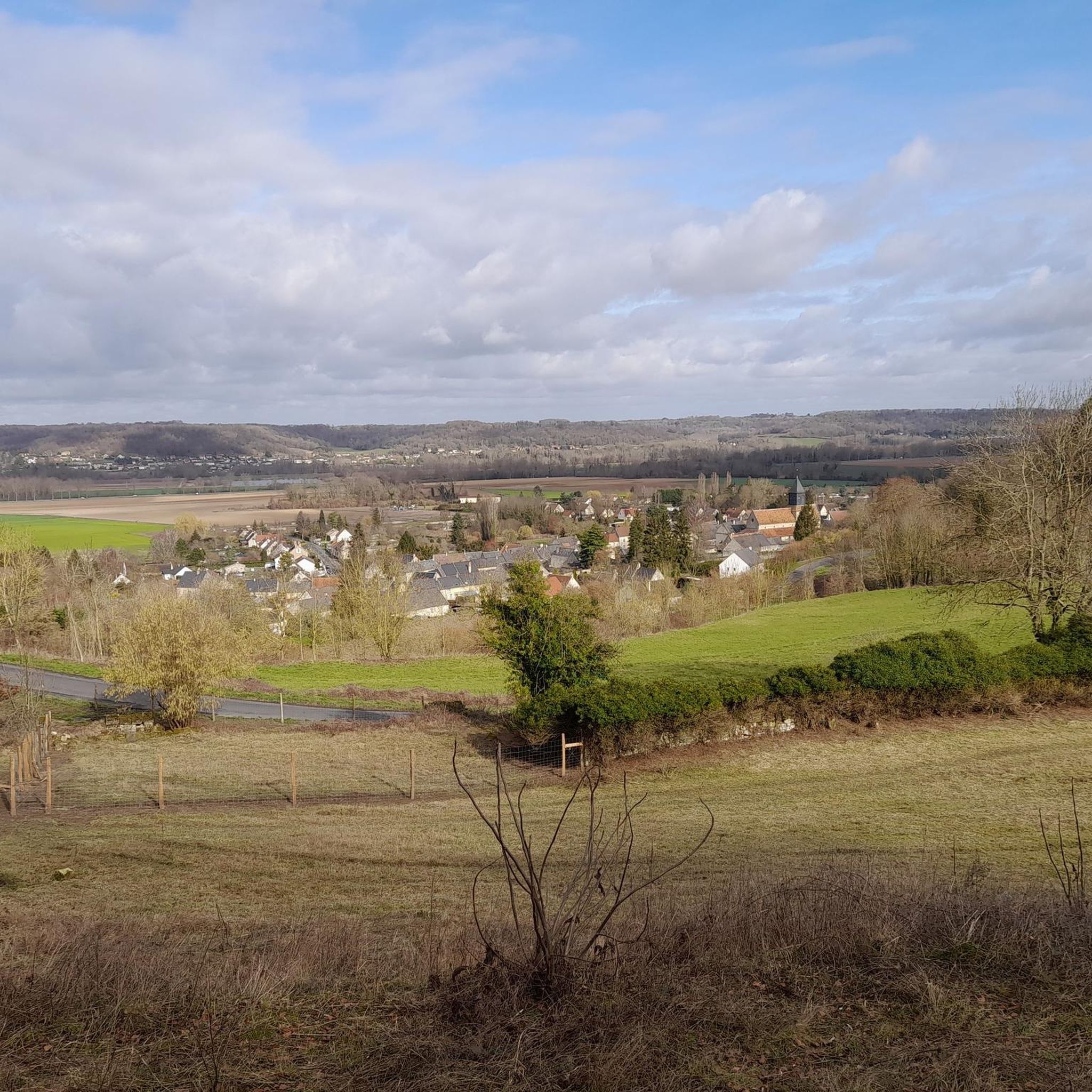
Hiking around Ressons-Le-Long offers diverse terrain within the Aisne department of northern France. The region features extensive forests, including the Forêt de Retz and Forêt de Compiègne, providing varied woodland paths. River valleys, such as the Aisne River, and marshlands contribute to picturesque routes with gentle elevation changes. Rolling hills and agricultural land characterize the wider landscape, offering a mix of open views and shaded trails.
Best hiking trails around Ressons-Le-Long
- The most popular hiking route is Executed of Vingré…
Last updated: July 2, 2026
5.0
(1)
4
hikers
10.2km
02:49
180m
180m
Moderate hike. Good fitness required. Easily-accessible paths. Suitable for all skill levels.
2.0
(1)
42
hikers
3.65km
00:56
10m
10m
Easy hike. Great for any fitness level. Easily-accessible paths. Suitable for all skill levels.

Sign up for free
4.3
(3)
22
hikers
12.2km
03:27
260m
250m
Moderate hike. Good fitness required. Easily-accessible paths. Suitable for all skill levels.
4.5
(6)
22
hikers
15.0km
04:03
200m
200m
Moderate hike. Good fitness required. Easily-accessible paths. Suitable for all skill levels.
17
hikers
Easy hike. Great for any fitness level. Easily-accessible paths. Suitable for all skill levels.
Get access to more routes and recommendations from other explorers.
Sign up for free
Already have an account?
Our route recommendations are based on thousands of hikes, rides, and runs completed by other people on komoot.
Start today with a free account
Your next adventure awaits.
Login or Signup

Tips from the Community

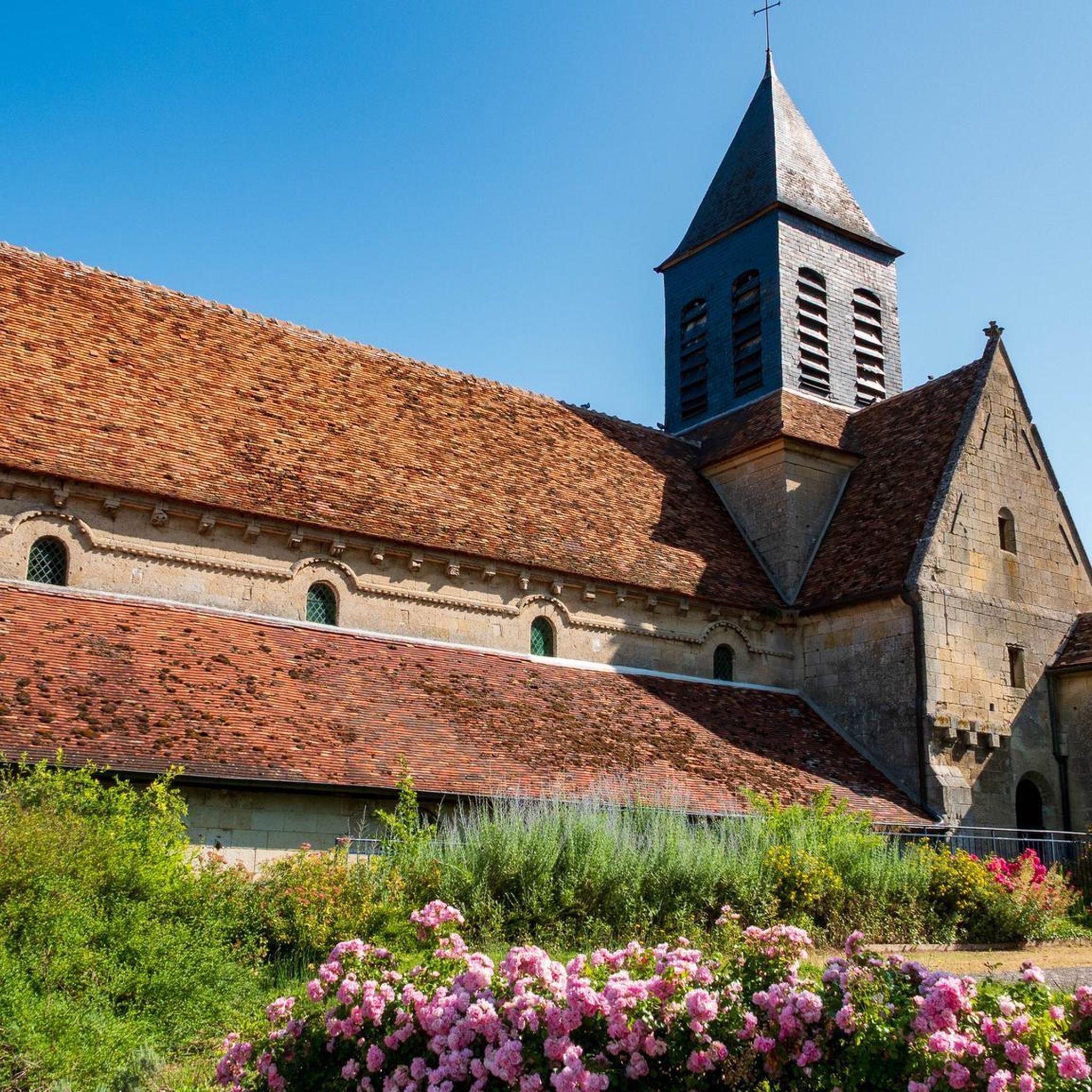
Unfortunately, we have to disagree with Willem VS here: both the church and the keep are closed to the public. But the pigeons have certainly turned it into a giant playground.
5
0

Pleasant path, no difference in altitude
0
0
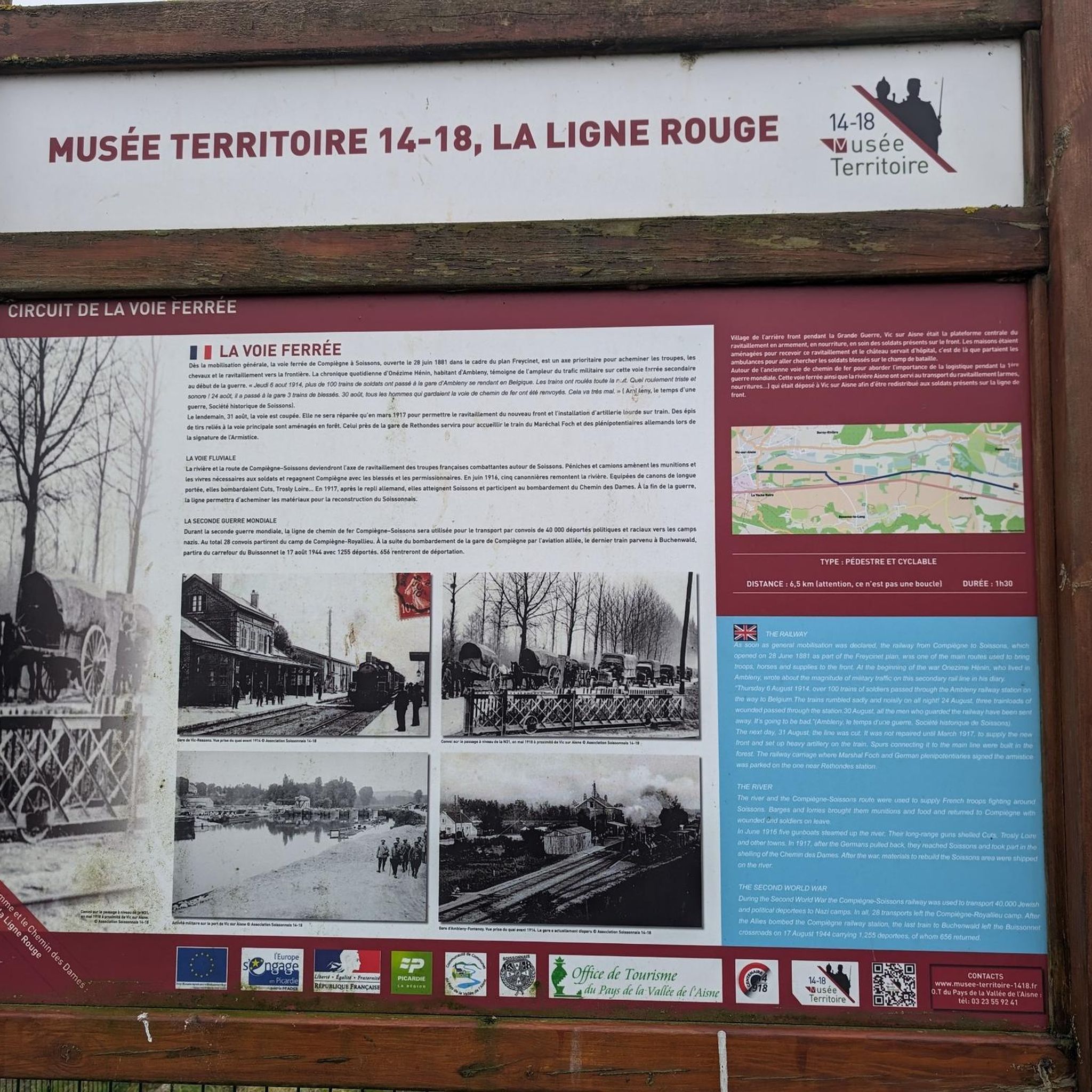
In the footsteps of the Poilus
0
0
Nothing very exciting
0
0
In the footsteps of the Poilus
0
0
There is a trench right next to it
0
0
Frequently Asked Questions
How many hiking trails are available around Ressons-Le-Long?
There are nearly 80 hiking routes recorded on komoot around Ressons-Le-Long. These trails offer a diverse range of experiences, from easy strolls through marshlands to more challenging routes with significant elevation changes through forests.
What kind of terrain can I expect on hikes in Ressons-Le-Long?
The terrain around Ressons-Le-Long is quite varied. You'll find extensive forests like the Forêt de Retz and Forêt de Compiègne, offering shaded paths. River valleys, such as the Aisne River, and marshlands provide picturesque routes with gentler slopes. The wider landscape also features rolling hills and agricultural land, giving you a mix of open views and wooded sections.
Are there any easy, family-friendly hikes in the area?
Yes, Ressons-Le-Long offers several easy routes suitable for families. For instance, the Apple tree loop from Berny-Rivière is a gentle 2.3-mile (3.6 km) trail that takes about 55 minutes to complete, leading through local landscapes. The region also features smaller, gentler loops through marshes, perfect for a relaxed outing.
Can I bring my dog on the hiking trails in Ressons-Le-Long?
Many trails in the Ressons-Le-Long area are suitable for dogs, especially those winding through the extensive forests and open agricultural lands. However, it's always recommended to keep your dog on a leash, particularly in nature reserves, near livestock, or in areas with historical monuments, to ensure safety and respect for wildlife and other hikers.
Are there any circular walks available?
Yes, many of the hiking routes around Ressons-Le-Long are designed as circular walks, allowing you to start and end at the same point. A popular option is the Hiking loop from Ressons-le-Long, a moderate 7.6-mile (12.2 km) path featuring varied terrain. Another is the Vic-sur-Aisne Castle – Vic-sur-Aisne Castle loop from Berny-Rivière, which is an easy 4.3-mile (6.9 km) route.
What historical landmarks or attractions can I see while hiking?
The region is rich in history. You can explore World War I history and monuments on routes like the Executed of Vingré Memorial Trail. The imposing Château de Vic-sur-Aisne, with its medieval origins, overlooks the Aisne valley and can be incorporated into hikes. You might also encounter sections of ancient Roman roads, such as the "Chaussée Brunehaut," or visit the Saint-Jean-des-Vignes Abbey in Soissons, known for its Gothic architecture.
Are there any natural features or viewpoints to discover?
Absolutely. The region boasts significant forests like the Forêt de Retz and Forêt de Compiègne. The Aisne River valley provides picturesque views, and you can explore unique marshlands with ponds and 'jardungles' (garden-jungles) on routes like 'Le Pré aux Chevaux'. For a unique natural experience, the Le fond Guesot caves in Fontenoy house rare bats and prehistoric carvings, though special permission is required for visits.
What is the best time of year to go hiking in Ressons-Le-Long?
Ressons-Le-Long offers pleasant hiking conditions throughout much of the year. Spring and autumn provide comfortable temperatures and beautiful scenery, with blooming wildflowers or vibrant fall foliage. Summer is also popular, especially for shaded forest trails. Even winter can be suitable for hiking, offering a different, serene perspective of the landscapes, though some paths might be muddy.
Where can I find parking for trailheads?
Parking is generally available near the starting points of many trails, especially in and around villages like Ressons-le-Long and Berny-Rivière. For specific routes, it's advisable to check the individual tour details on komoot, as they often include information about designated parking areas or suitable roadside spots.
What do other hikers enjoy most about the trails in Ressons-Le-Long?
The trails in Ressons-Le-Long are highly rated by the komoot community, with an average score of 4.5 stars from over 170 reviews. Hikers often praise the diverse landscapes, from tranquil forests to scenic river valleys and historical sites. The well-maintained paths and the variety of routes suitable for different abilities are also frequently highlighted.
Are there any unique historical sites like old quarries or caves to explore?
Yes, the region has some fascinating historical sites. The Carrières de Confrécourt are former quarries where soldiers carved sculptures and frescoes during World War I, offering guided tours on select dates. Additionally, the Le fond Guesot caves in Fontenoy are a natural site with prehistoric carvings, though visits require special permission due to their protected status.
Can I reach any trailheads using public transport?
While many trails are best accessed by car, some villages that serve as starting points for hikes, such as Ressons-le-Long or those in the wider Soissonnais region, may have limited public transport connections. For detailed information on public transport options to specific trailheads, it is recommended to consult local transport schedules or plan your route in advance.
Most popular attractions around Ressons-Le-Long

Get inspired with the komoot mobile app


Explore more
Browse the best Hikes in other regions.
