The best road cycling routes around Loivre
4.1
(144)
4,854
riders
295
rides
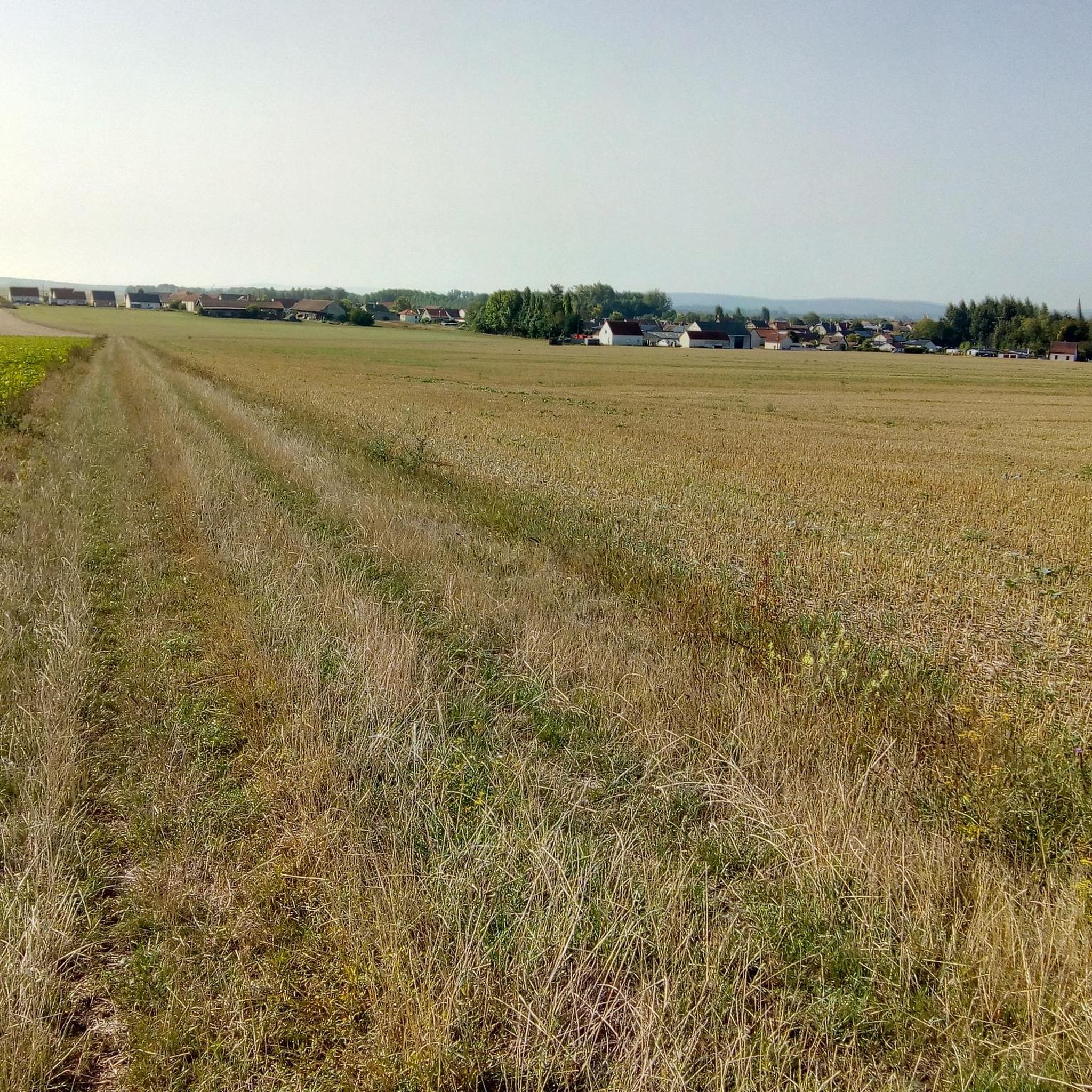
Road cycling routes around Loivre traverse a landscape characterized by rural roads and gentle to moderate elevation changes. The area offers a mix of open countryside and routes that connect small villages and historical sites. While specific dramatic geological features are not prominent, the terrain provides varied cycling experiences suitable for different skill levels. The routes often feature rolling hills, allowing for both steady climbs and enjoyable descents.
Best road cycling routes around Loivre
- The most popular road cycling route…
Last updated: June 27, 2026
22
riders
50.7km
02:06
240m
240m
Moderate road ride. Good fitness required. Some segments of this route may be unpaved and difficult to ride.
3.0
(1)
11
riders
49.1km
01:57
180m
180m
Moderate road ride. Great for any fitness level. Some segments of this route may be unpaved and difficult to ride.

Sign up for free
11
riders
119km
05:18
1,150m
1,150m
Hard road ride. Very good fitness required. Some segments of this route may be unpaved and difficult to ride.
9
riders
25.1km
01:08
230m
230m
Moderate road ride. Great for any fitness level. Some segments of this route may be unpaved and difficult to ride.
10
riders
Moderate road ride. Good fitness required. Some segments of this route may be unpaved and difficult to ride.
Get access to more routes and recommendations from other explorers.
Sign up for free
Already have an account?
Our route recommendations are based on thousands of hikes, rides, and runs completed by other people on komoot.
Start today with a free account
Your next adventure awaits.
Login or Signup



Tips from the Community

Beautiful quiet place for a walk
0
0

The cycle path offers the possibility to park outside and cycle into the city in a relaxed manner.
0
0
The cycle path is absolutely suitable for racing bikes.
0
0

While staying on the asphalt, you can cover more than 24 km. From the St. Brice Courcelles side, you can go up to La Neuvillette, then to Courcy, it's an unpaved road (passable but not for road bikes). After Courcy, there's asphalt up to Berry au Ferry (this allows you to discover the Sapigneul Owl, about 150 m on dirt road). On the other side, after Sillery, you can continue to Beaumont (asphalt). Then, on a dirt road passable by mountain bike, you can go to the Billy Arch, where the canal passes through a tunnel.
0
0

A green vein of peace and movement that stretches for 24 kilometres along the Aisne-Marne canal. Once an old towpath, now a lively promenade for walkers, cyclists and nature lovers. This green corridor winds through Reims, connecting city life with nature, passing historic sites such as the old bathhouses, Port Colbert and charming parks. An unexpected oasis in the heart of the Champagne capital, where history, sport and relaxation come together.
8
0

a silo on the edge of the canal very beautiful at sunset
0
0
The Coulée verte de Reims is a beautiful green strip that stretches for about 24 kilometers along the banks of the canal and the River Vesle. This green corridor offers a variety of recreational options, such as walking, cycling, and jogging. The area has been carefully landscaped to facilitate both relaxation and sporting activities.
11
1
On the other side of the bank is the cycle path along which the V30 (Véloroute de la Somme à la Marne) runs.
8
0
Frequently Asked Questions
What kind of terrain can I expect when road cycling around Loivre?
Road cycling routes around Loivre feature rural roads and rolling hills, offering gentle to moderate elevation changes. The area provides a mix of open countryside and routes connecting small villages, suitable for various skill levels.
How many road cycling routes are available in the Loivre area?
There are 14 road cycling routes available around Loivre, catering to different experience levels from easy to difficult.
Are there any easy road cycling routes for beginners in Loivre?
Yes, there are 2 easy road cycling routes. One option is the Church 💒 – Cormicy National Necropolis loop from Loivre, which is approximately 38.3 km (23.8 miles) long.
What are some moderate road cycling routes around Loivre?
Loivre offers 9 moderate road cycling routes. Popular choices include the Church 💒 – Hermonville loop from Loivre, a 71.1 km (44.2 miles) trail with varied terrain, and the Church of Burgundy – Church 💒 loop from Loivre, a scenic 49.1 km (30.5 miles) path.
Are there challenging road cycling routes with significant climbs near Loivre?
Yes, there are 3 difficult routes for experienced cyclists. The Hermonville – Vauclair Abbey loop from Loivre is a challenging 118.5 km (73.6 miles) route through rural landscapes and past historical sites. Another difficult option is the Church of Thil – Gueux Lake Park loop from Loivre, spanning 103.4 km (64.2 miles).
What do other road cyclists say about the routes in Loivre?
The road cycling routes in Loivre are highly rated by the komoot community, with an average score of 3.85 stars from over 60 reviews. Cyclists often appreciate the varied terrain and connections between small towns.
Are there any historical sites or landmarks to see along the road cycling routes near Loivre?
While Loivre itself is a smaller locality, many routes connect to nearby areas. For example, the Hermonville – Vauclair Abbey loop from Loivre passes historical sites. The nearby city of Reims, approximately 10-12 km away, offers attractions like the Mars Gate and Place Royale.
What is the typical duration for road cycling routes in Loivre?
Route durations vary significantly based on distance and difficulty. Easy routes, like the Church 💒 – Cormicy National Necropolis loop, can take around 1 hour 30 minutes. Moderate routes typically range from 2 to 3 hours, while difficult routes, such as the Hermonville – Vauclair Abbey loop, can take over 5 hours.
Can I find circular road cycling routes around Loivre?
Yes, many of the routes around Loivre are designed as loops, allowing you to start and finish in the same location. Examples include the Church 💒 – Hermonville loop from Loivre and the Church of Burgundy – Church 💒 loop from Loivre.
What kind of scenery can I expect while cycling in the Loivre region?
The Loivre region offers scenic rides through rural landscapes, open countryside, and charming small villages. You'll encounter flourishing orchards and verdant pastoral views, typical of the French countryside.
Are there any specific points of interest along the routes for a quick stop?
Many routes connect various points of interest, including churches in small villages. While specific cafes or dedicated rest stops are not detailed for every route, the villages along the way often provide opportunities for breaks.
Most popular attractions around Loivre

Get inspired with the komoot mobile app


Explore more
Browse the best Road cycling routes in other regions.
