The best walks and hikes around Taulé
4.4
(1343)
8,216
hikers
266
hikes
Hiking around Taulé offers a diverse landscape characterized by river valleys, coastal views, and areas of heathland. The region features a mix of terrain, from gentle paths along waterways to more challenging routes with notable elevation changes. Trails often provide glimpses of nearby islands and traverse varied natural environments. This area provides opportunities for hikers to explore both inland and coastal features.
Best hiking trails around Taulé
- The most popular hiking route is River Morlaix – Morlaix loop from Locquénolé…
Last updated: October 8, 2026
4.8
(29)
133
hikers
13.7km
03:43
190m
190m
Moderate hike. Good fitness required. Easily-accessible paths. Suitable for all skill levels.
4.8
(13)
87
hikers
29.7km
08:21
580m
580m
Hard hike. Very good fitness required. Mostly accessible paths. Sure-footedness required.

4.1
(7)
38
hikers
27.7km
07:36
440m
440m
Hard hike. Very good fitness required. Easily-accessible paths. Suitable for all skill levels.
5.0
(5)
61
hikers
5.00km
01:17
20m
20m
Easy hike. Great for any fitness level. Easily-accessible paths. Suitable for all skill levels.
4.3
(10)
29
hikers
5.93km
01:42
150m
150m
Easy hike. Great for any fitness level. Easily-accessible paths. Suitable for all skill levels.
Get access to more routes and recommendations from other explorers.
Already have an account?
Our route recommendations are based on thousands of hikes, rides, and runs completed by other people on komoot.
Start today with a free account
Your next adventure awaits.

Tips from the Community

Dominating the Place de la Liberté in Locquénolé, the Saint-Guénolé Church (classified as a Historic Monument) is a remarkable testament to the religious history and Romanesque architecture of Brittany. A mixed architecture: The current building preserves precious Romanesque vestiges from the 11th century, notably the structure of its nave, its round arches, and above all its capitals sculpted in dark stone (with geometric motifs and naive figures). Remodeling from the 17th century: The church was profoundly remodeled at this time. Its bell tower with two bell chambers bears the year 1681, crowned by a short spire. Its interior treasure: The building houses rich furnishings, including a late 17th-century high altar with elegant polychrome wooden twisted columns, as well as a 15th-century silver bust and reliquary arm containing the relics of Saint Guénolé.
1
0
Located in Carantec, the Pointe de Pen al Lan (or Pointe de la Lande) offers a spectacular and breathtaking panorama of the Bay of Morlaix, with a privileged view of the emblematic Château du Taureau and the Louët Island lighthouse. This magnificent natural site, bordered by the customs path (GR34) and enhanced by the Claude Goude park, is a must-see stop to contemplate the ballet of the tides in the heart of this exceptional marine landscape.
1
0
Located in Carantec, Pointe de Pen al Lan (or Pointe de la Lande) offers a spectacular and breathtaking panorama of the Baie de Morlaix, with a privileged view of the emblematic Château du Taureau and the lighthouse on Île Louët. This magnificent natural site, bordered by the customs officers' path (GR34) and enhanced by the Claude Goude park, is a must-see stop to contemplate the ballet of the tides in the heart of this exceptional marine landscape.
1
0

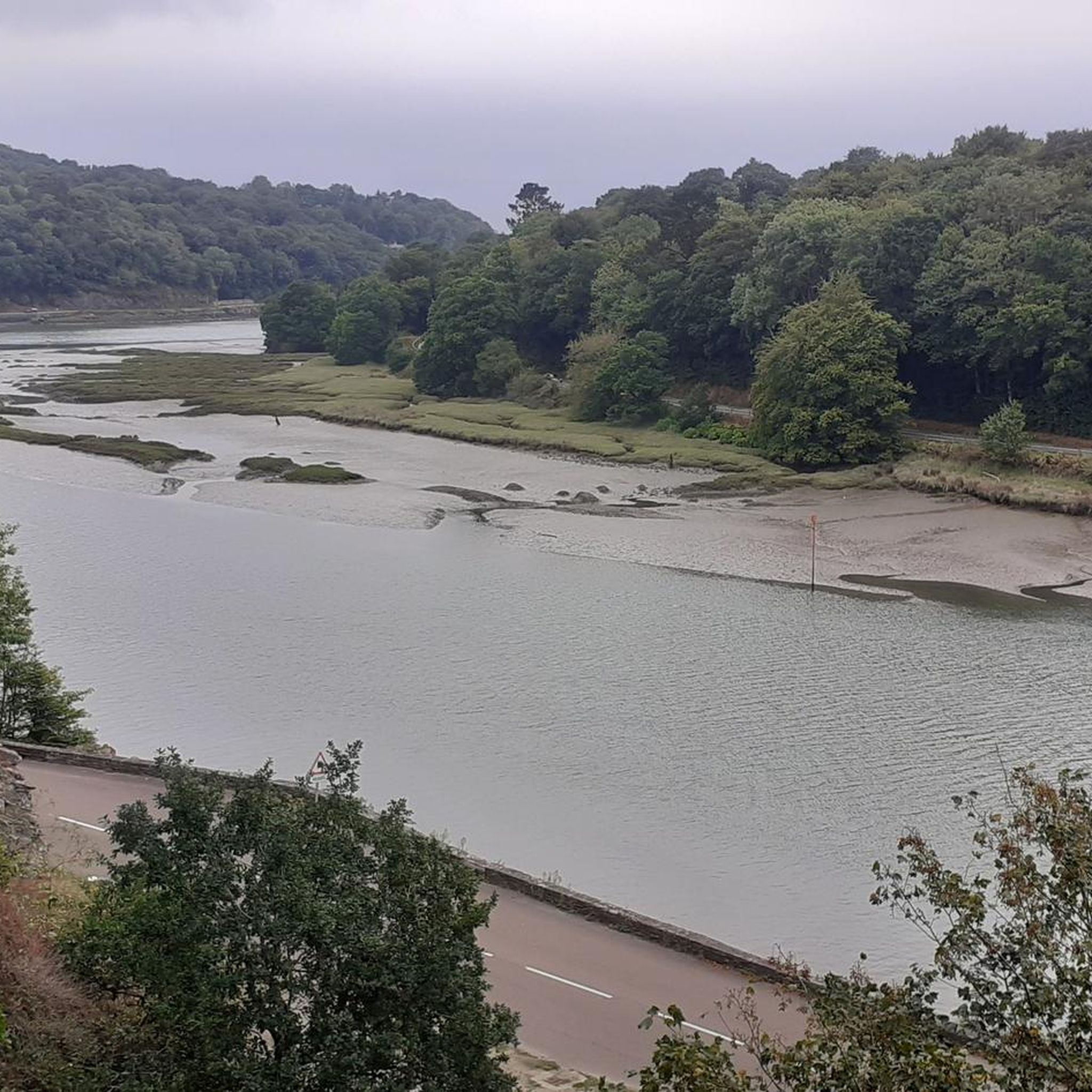
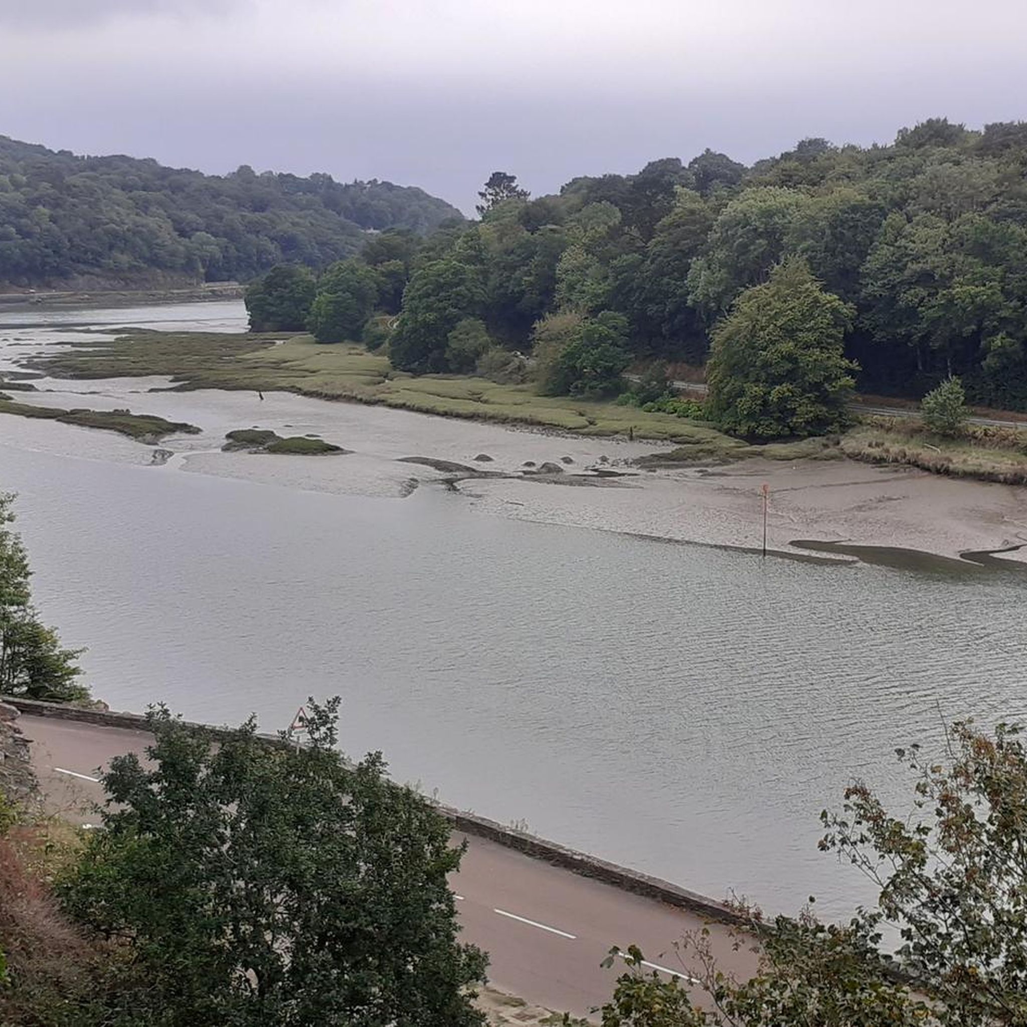
Picturesque only at high tide
0
0

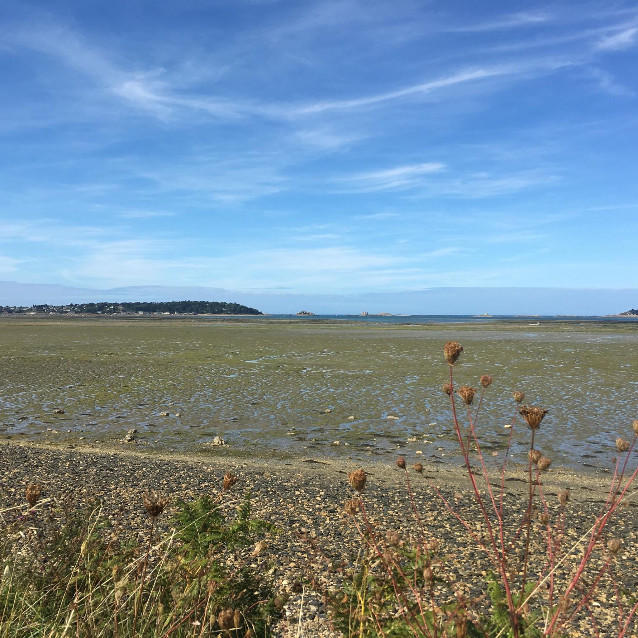
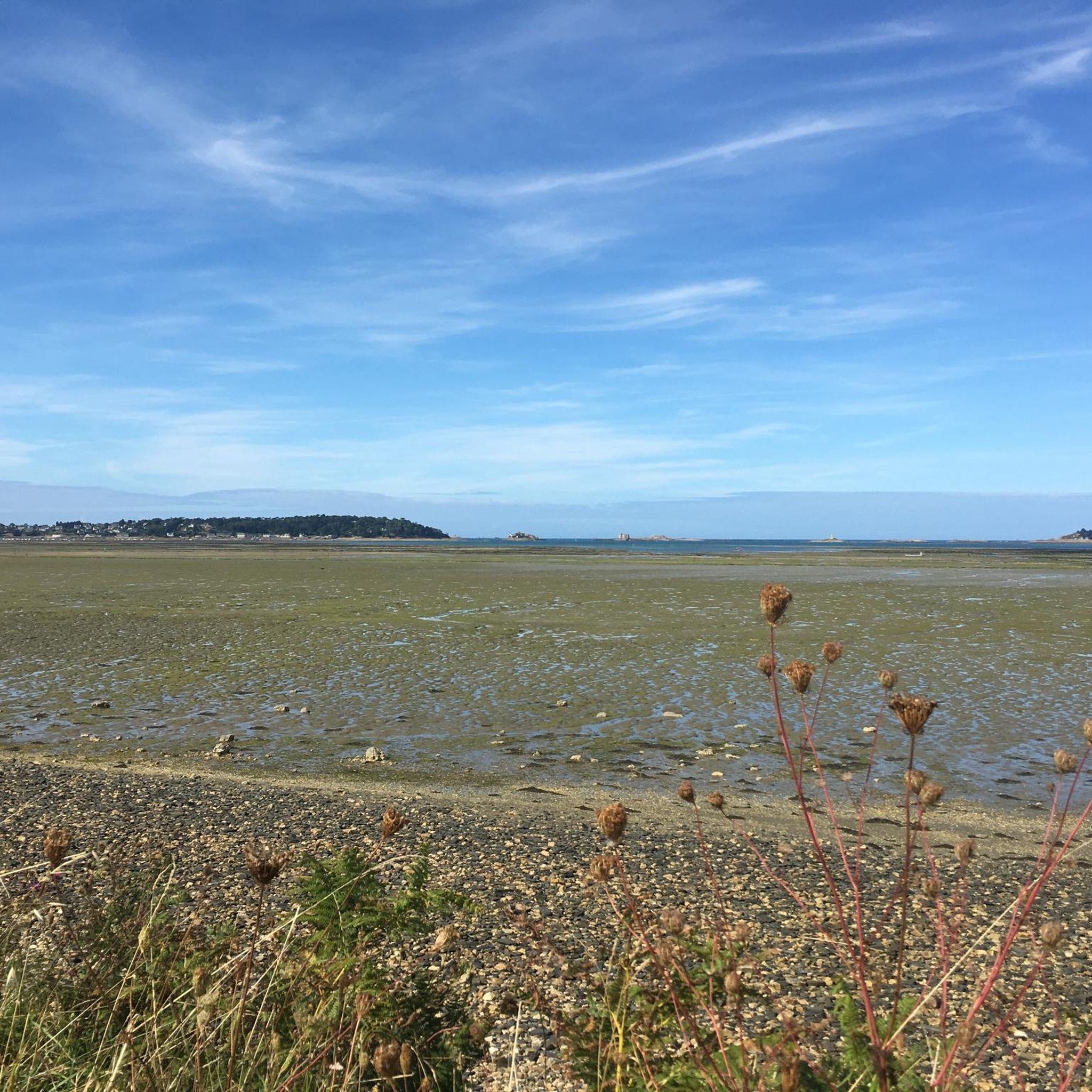
A beautiful path in the Bay of Morlaix. Here you can experience the changing tides.
0
0

Here, oysters are freshly caught and prepared for resale.
0
0
View of the Ile Noire
0
0
View of the Ile Louet
0
0
Frequently Asked Questions
How many hiking trails are available around Taulé?
There are over a dozen hiking routes documented around Taulé on komoot. These trails offer a variety of experiences, from easy strolls to more challenging long-distance hikes, catering to different fitness levels.
Are there easy hiking trails suitable for beginners or families in Taulé?
Yes, Taulé offers several easy hiking options. For example, the Lavoir Ancien loop from Locquénolé is an easy 3.7-mile (5.9 km) trail that takes about 1 hour 42 minutes to complete, perfect for a relaxed outing. Another easy option is the Penzé loop from Penzé, which is 3 miles (4.8 km) long.
What kind of terrain can I expect on hikes in Taulé?
Hiking around Taulé features a diverse landscape, including river valleys, coastal paths with views of nearby islands, and areas of heathland. You'll find a mix of gentle paths along waterways and more challenging routes with notable elevation changes.
Are there challenging hikes for experienced hikers in Taulé?
Absolutely. Taulé has several difficult routes for those seeking a challenge. The River Morlaix – Morlaix loop from Locquénolé is an 18.4-mile (29.6 km) difficult trail following the Morlaix River. Another demanding option is the View of the islands – Head of the Heath loop from Locquénolé, which is 18.5 miles (29.7 km) long and offers scenic island views.
Are there circular hiking routes available in Taulé?
Many of the popular routes in Taulé are circular, allowing you to start and end at the same point. Examples include the Lavoir Ancien loop from Locquénolé and the Head of the Heath – View of Île Callot loop from Phare de la Lande.
What are some scenic viewpoints or natural attractions to see while hiking in Taulé?
The region offers stunning coastal vistas and natural landmarks. You can enjoy views from Primel Point or explore the unique Pink Granite Chaos of Diben. The View of the islands – Head of the Heath loop from Locquénolé specifically highlights scenic island views.
What do other hikers say about the trails in Taulé?
The hiking routes in Taulé are highly regarded by the komoot community, holding an average rating of 4.4 stars from over 1000 reviews. Hikers often praise the diverse scenery, from river valleys to coastal views, and the well-maintained paths.
Are there any historical or cultural landmarks near the hiking trails in Taulé?
Yes, the area around Taulé is rich in history. You can visit the impressive Morlaix Viaduct, explore the Port of Morlaix, or see the Saint Paul Aurélien Cathedral in Saint-Pol-de-Léon.
What is the best time of year to go hiking in Taulé?
The coastal and river valley trails of Taulé are generally pleasant for hiking from spring through autumn. Spring brings blooming flora, while summer offers warmer weather for coastal walks. Autumn provides comfortable temperatures and beautiful foliage. Winter hiking is possible, but conditions can be cooler and wetter, so appropriate gear is recommended.
Can I find hikes that pass through towns or villages with amenities in Taulé?
Many routes in the region connect to or pass near local villages and towns like Morlaix or Penzé. These locations often provide opportunities for refreshments, meals, or exploring local culture, allowing you to combine your hike with a stop at a local café or restaurant.
Is Taulé a good destination for long-distance hiking?
Yes, Taulé offers several longer, more challenging routes that are suitable for long-distance hiking. Trails like the River Morlaix – Morlaix loop from Locquénolé and the View of the islands – Head of the Heath loop from Locquénolé are both around 18.5 miles (29.7 km) and provide extensive exploration of the region's diverse landscapes.
Most popular attractions around Taulé

Get inspired with the komoot mobile app


Explore more
Browse the best Hikes in other regions.
